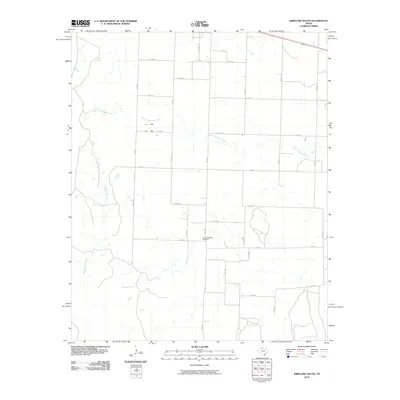
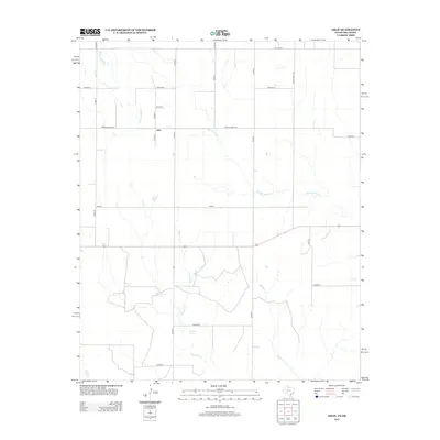
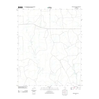
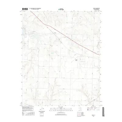
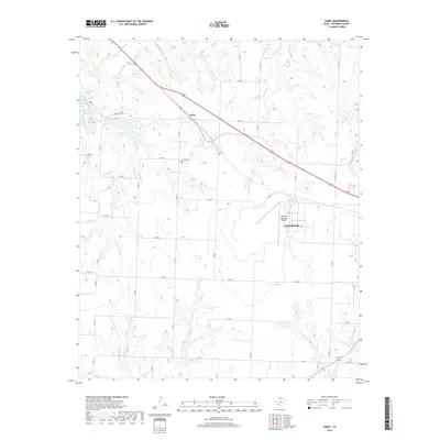
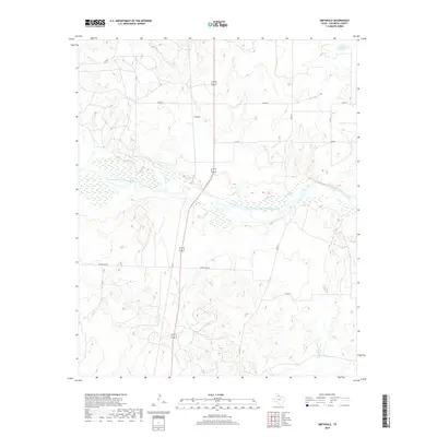
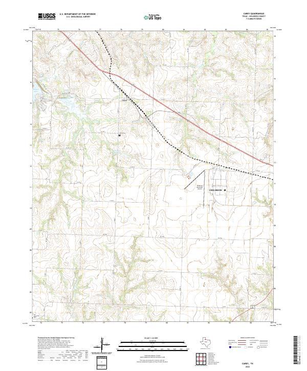
1967 Map of Carey
USGS Topo · Published 1981About this map
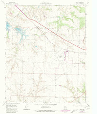
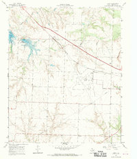
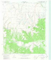
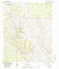
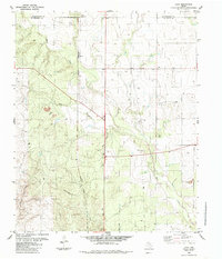
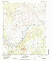
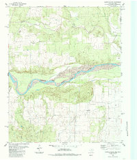
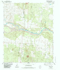
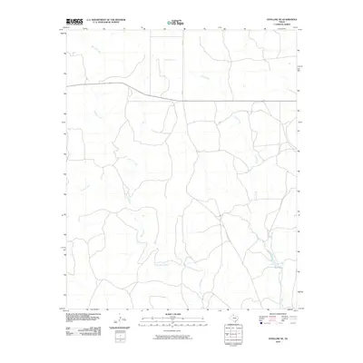
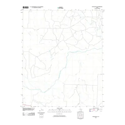
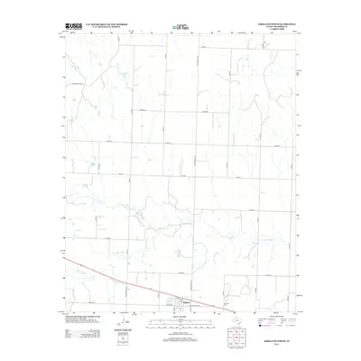
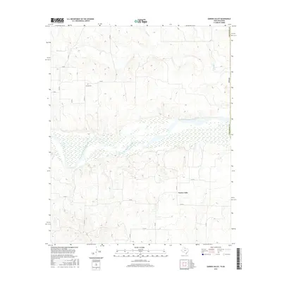
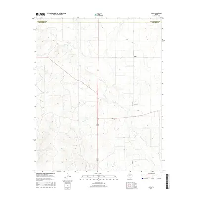
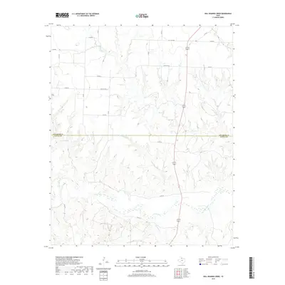
Carey sits along the Fort Worth and Denver rail line in this West Texas survey, serving as a focal point for local agricultural and transit history. The landscape is defined by the proximity of Baylor Lake and Lake Childress, water bodies that provided essential resources for the surrounding prairie. To the southeast, the Childress Municipal Airport and a prominent Drive-in Theater mark the mid-century expansion of local infrastructure and recreation. For genealogists, the Carey Cem offers a vital connection to the families who settled this corner of Childress County. The presence of a vast network of pipelines and a local Pumping Sta reflects the industrial development of the region, while the natural drainage of Baylor Creek and Grassy Creek continues to shape the rolling terrain toward High Point.
Find a feature on this map
15 named features on this map. Tap any name to fly to it.
Don’t see what you’re looking for? This feature index may not catch every label — zoom into the map to look around manually.
Map Details
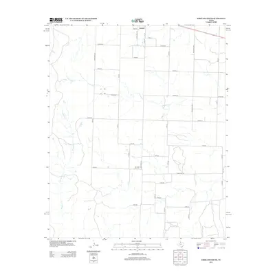
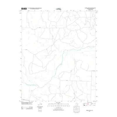
Editions of this 1967 Carey Map
2 editions found
Historical Maps of Childress Through Time
67 maps found
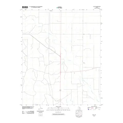
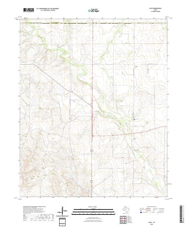
1960 Loco
Childress County, TX
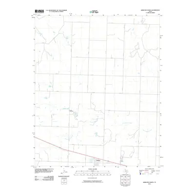
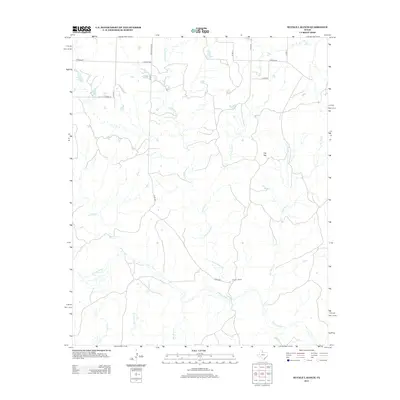
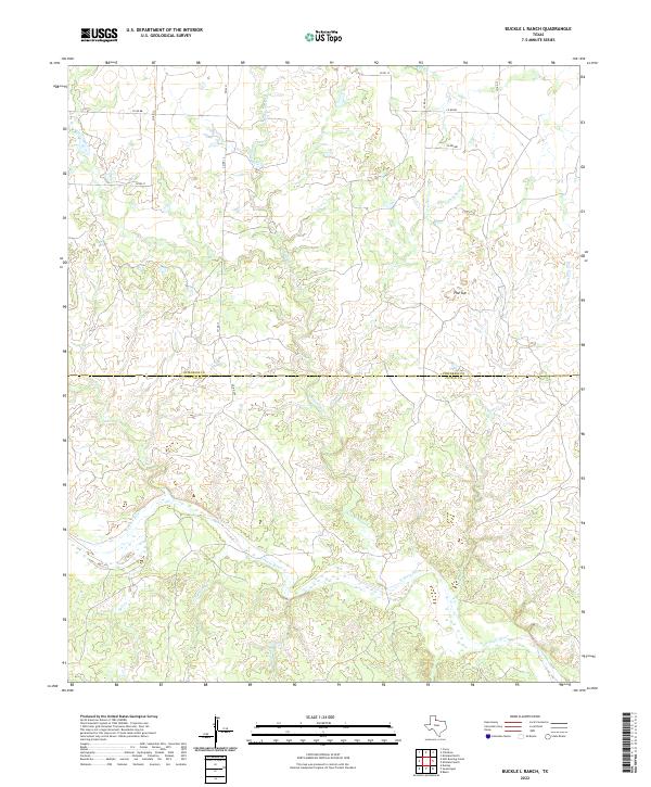
1967 Buckle L Ranch
Childress County, TX
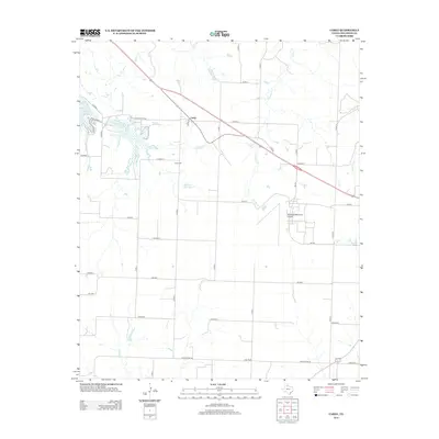
1967 Carey
Childress County, TX
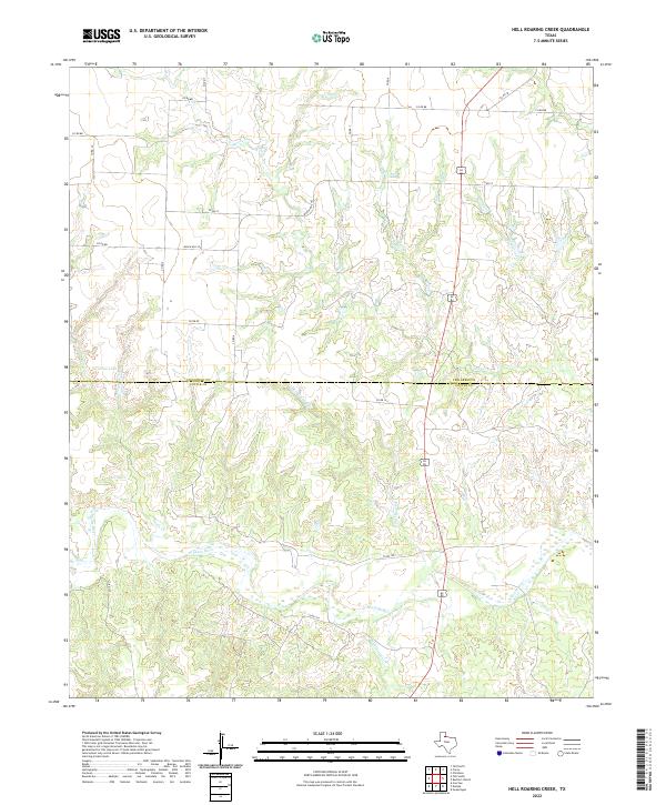
1967 Hell Roaring Creek
Childress County, TX
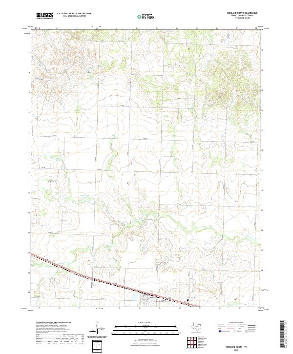
1967 Kirkland North
Childress County, TX
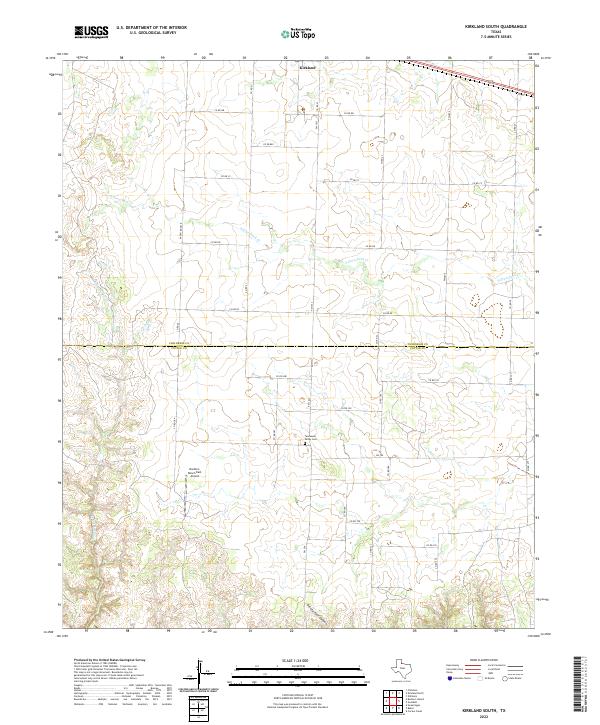
1967 Kirkland South
Childress County, TX
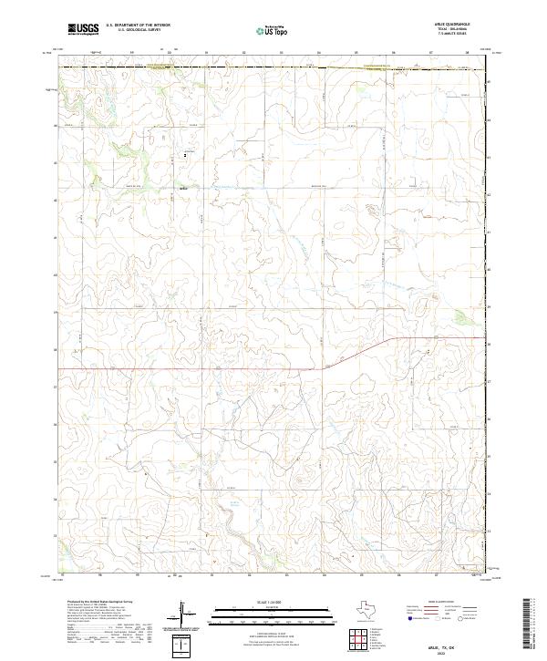
1984 Arlie
Childress County, TX
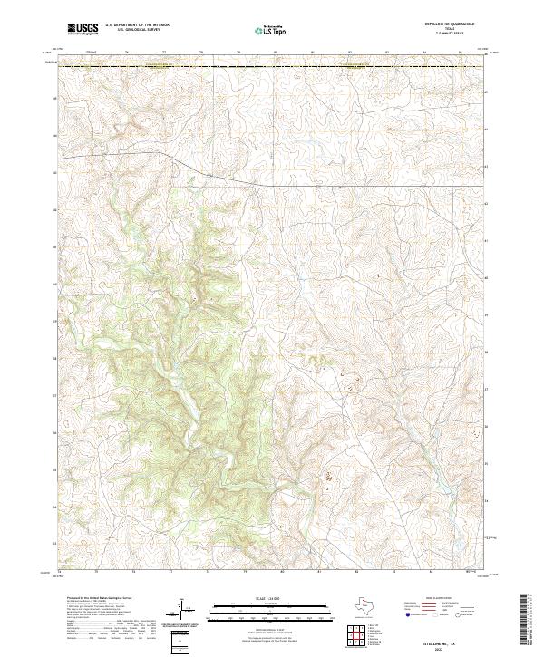
1984 Estelline NE
Childress County, TX
1984 Loco
Childress County, TX
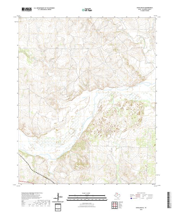
1985 Estelline SE
Childress County, TX
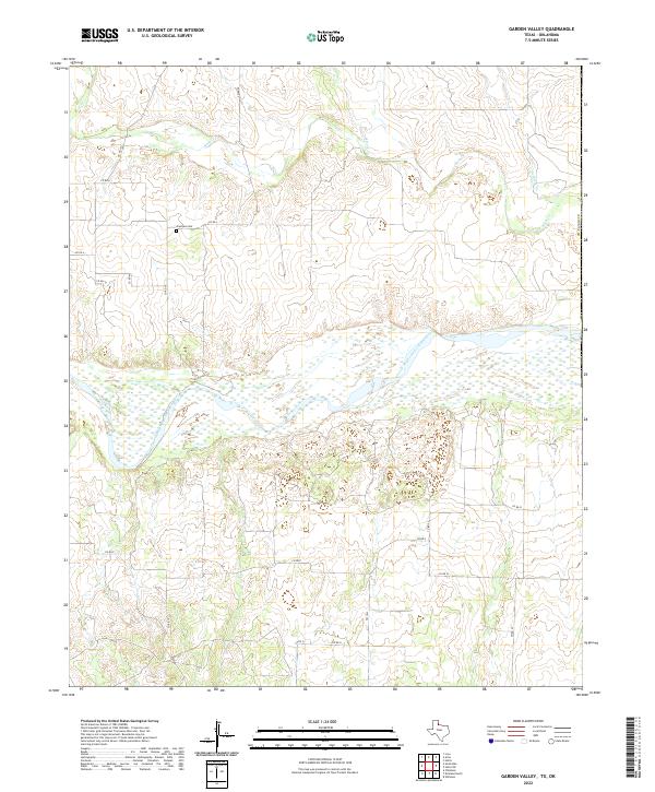
1985 Garden Valley
Childress County, TX
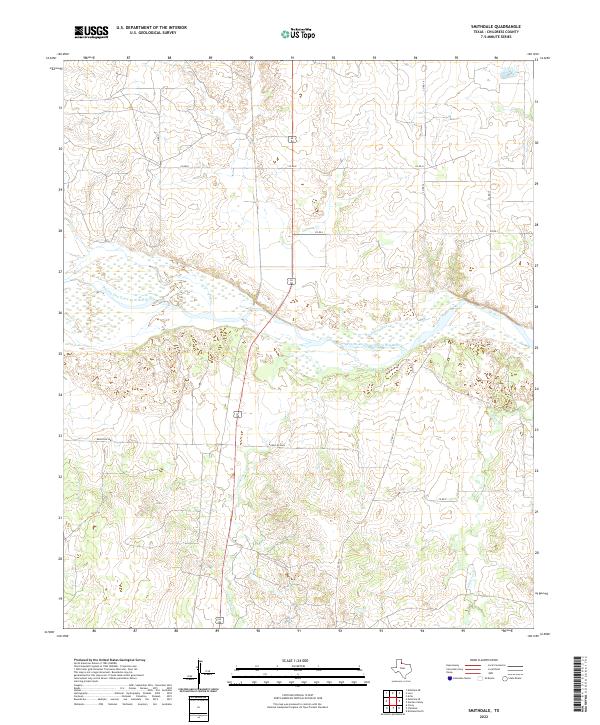
1985 Smithdale
Childress County, TX
2010 Arlie
Childress County, TX
2010 Buckle L Ranch
Childress County, TX
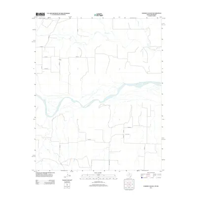
2010 Carey
Childress County, TX
2010 Estelline NE
Childress County, TX
2010 Estelline SE
Childress County, TX
2010 Garden Valley
Childress County, TX
2010 Hell Roaring Creek
Childress County, TX
2010 Kirkland North
Childress County, TX
2010 Kirkland South
Childress County, TX
2010 Loco
Childress County, TX
2010 Smithdale
Childress County, TX
2012 Arlie
Childress County, TX
2012 Buckle L Ranch
Childress County, TX
2012 Carey
Childress County, TX
2012 Garden Valley
Childress County, TX
2012 Kirkland North
Childress County, TX
2012 Kirkland South
Childress County, TX
2012 Loco
Childress County, TX
2012 Smithdale
Childress County, TX
2013 Estelline NE
Childress County, TX
2013 Estelline SE
Childress County, TX
2013 Hell Roaring Creek
Childress County, TX
2016 Arlie
Childress County, TX
2016 Buckle L Ranch
Childress County, TX
2016 Carey
Childress County, TX
2016 Estelline NE
Childress County, TX
2016 Estelline SE
Childress County, TX
2016 Garden Valley
Childress County, TX
2016 Hell Roaring Creek
Childress County, TX
2016 Kirkland North
Childress County, TX
2016 Kirkland South
Childress County, TX
2016 Loco
Childress County, TX
2016 Smithdale
Childress County, TX
2019 Arlie
Childress County, TX
2019 Buckle L Ranch
Childress County, TX
2019 Carey
Childress County, TX
2019 Estelline NE
Childress County, TX
2019 Estelline SE
Childress County, TX
2019 Garden Valley
Childress County, TX
2019 Hell Roaring Creek
Childress County, TX
2019 Kirkland North
Childress County, TX
2019 Kirkland South
Childress County, TX
2019 Loco
Childress County, TX
2019 Smithdale
Childress County, TX
2022 Arlie
Childress County, TX
2022 Buckle L Ranch
Childress County, TX
2022 Carey
Childress County, TX
2022 Estelline NE
Childress County, TX
2022 Estelline SE
Childress County, TX
2022 Garden Valley
Childress County, TX
2022 Hell Roaring Creek
Childress County, TX
2022 Kirkland North
Childress County, TX
2022 Kirkland South
Childress County, TX
2022 Loco
Childress County, TX
2022 Smithdale
Childress County, TX