
2023 Map of Colton
USGS Topo · Published 2023About this map
Colton and Old Colton sit at the center of this rural Clackamas County landscape, where the foothills are defined by a dense network of creek drainages including Milk Creek, Jackson Creek, and Canyon Creek. For local historians and genealogists, the map is remarkably dense with family-named burial sites and landmarks, ranging from the Clarkes Pioneer Cem to the smaller Leisman Family Graves and Johnson Family Cem.
Find a feature on this map
103 named features on this map. Tap any name to fly to it.
Don’t see what you’re looking for? This feature index may not catch every label — zoom into the map to look around manually.
Map Details
Editions of this 2023 Colton Map
This is the sole edition of this map. No revisions or reprints were ever made.
Historical Maps of Old Colton Through Time
80 maps found

1954 Redland
Clackamas County, OR

1955 Cherryville
Clackamas County, OR

1955 Colton
Clackamas County, OR

1955 Colton
Clackamas County, OR

1955 Wilhoit
Clackamas County, OR

1955 Yoder
Clackamas County, OR

1956 Fish Creek Mtn
Clackamas County, OR

1956 High Rock
Clackamas County, OR

1961 Redland
Clackamas County, OR

1962 Bull Run Lake
Clackamas County, OR

1962 Hickman Butte
Clackamas County, OR

1985 Bagby Hot Springs
Clackamas County, OR

1985 Bull of The Woods
Clackamas County, OR

1985 Bull Run
Clackamas County, OR

1985 Cherryville
Clackamas County, OR

1985 Fish Creek Mountain
Clackamas County, OR

1985 High Rock
Clackamas County, OR

1985 Mt. Mitchell
Clackamas County, OR

1985 Rooster Rock
Clackamas County, OR

1985 Three Lynx
Clackamas County, OR

1985 Timothy Lake
Clackamas County, OR

1985 Wanderers Peak
Clackamas County, OR

1985 Wildcat Mountain
Clackamas County, OR

1985 Wolf Peak
Clackamas County, OR

1986 Bedford Point
Clackamas County, OR

1986 Brightwood
Clackamas County, OR

1986 Elwood
Clackamas County, OR

1986 Fernwood
Clackamas County, OR

1986 Gawley Creek
Clackamas County, OR

1986 Mt. Lowe
Clackamas County, OR

1986 Pinhead Buttes
Clackamas County, OR

1986 Soosap Peak
Clackamas County, OR

1997 Bagby Hot Springs
Clackamas County, OR

1997 Bedford Point
Clackamas County, OR

1997 Brightwood
Clackamas County, OR

1997 Bull of the Woods
Clackamas County, OR

1997 Bull Run
Clackamas County, OR

1997 Bull Run Lake
Clackamas County, OR

1997 Cherryville
Clackamas County, OR

1997 Elwood
Clackamas County, OR

1997 Fish Creek Mountain
Clackamas County, OR

1997 Hickman Butte
Clackamas County, OR

1997 High Rock
Clackamas County, OR

1997 Mount Lowe
Clackamas County, OR

1997 Mount Mitchell
Clackamas County, OR

1997 Pinhead Buttes
Clackamas County, OR

1997 Rooster Rock
Clackamas County, OR

1997 Soosap Peak
Clackamas County, OR

1997 Three Lynx
Clackamas County, OR

1997 Timothy Lake
Clackamas County, OR

1997 Wanderers Peak
Clackamas County, OR

1997 Wildcat Mountain
Clackamas County, OR

1997 Wolf Peak
Clackamas County, OR

2023 Bagby Hot Springs
Clackamas County, OR

2023 Bull of the Woods
Clackamas County, OR

2023 Bull Run
Clackamas County, OR
2023 Colton
Clackamas County, OR

2023 Fernwood
Clackamas County, OR

2023 Gawley Creek
Clackamas County, OR

2023 Mount Mitchell
Clackamas County, OR

2023 Redland
Clackamas County, OR

2023 Soosap Peak
Clackamas County, OR

2023 Three Lynx
Clackamas County, OR

2023 Timothy Lake
Clackamas County, OR

2023 Wanderers Peak
Clackamas County, OR

2023 Wildcat Mountain
Clackamas County, OR

2023 Wilhoit
Clackamas County, OR

2023 Yoder
Clackamas County, OR
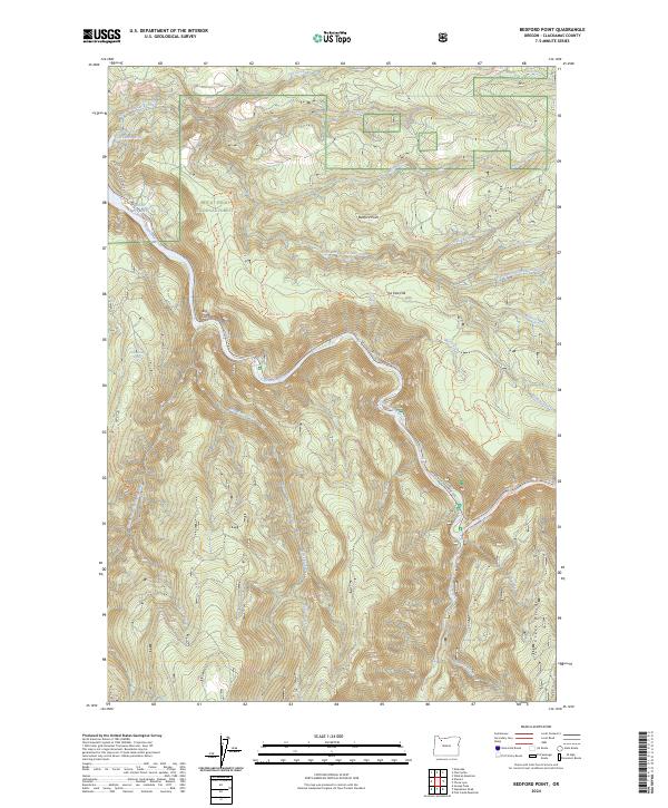
2024 Bedford Point
Clackamas County, OR

2024 Brightwood
Clackamas County, OR

2024 Bull Run Lake
Clackamas County, OR

2024 Cherryville
Clackamas County, OR

2024 Elwood
Clackamas County, OR

2024 Fish Creek Mountain
Clackamas County, OR

2024 Hickman Butte
Clackamas County, OR

2024 High Rock
Clackamas County, OR

2024 Mount Lowe
Clackamas County, OR

2024 Pinhead Buttes
Clackamas County, OR

2024 Rooster Rock
Clackamas County, OR

2024 Wolf Peak
Clackamas County, OR