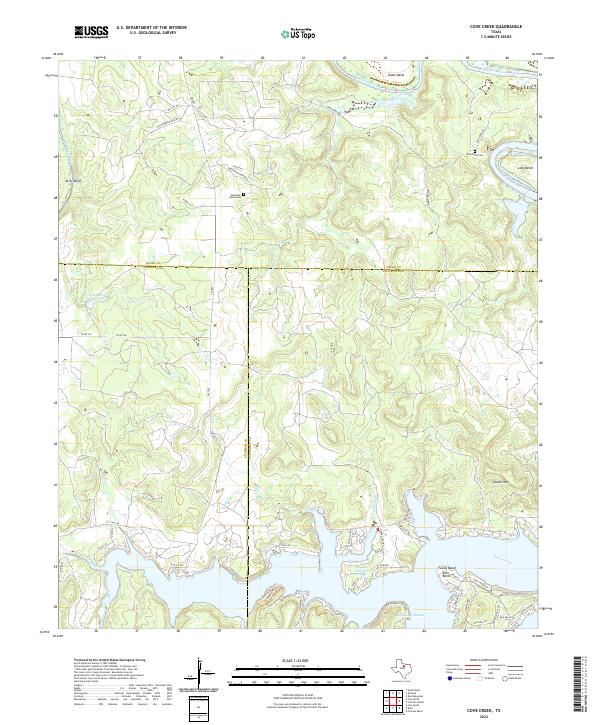
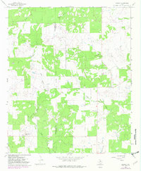
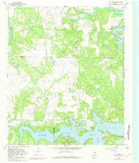
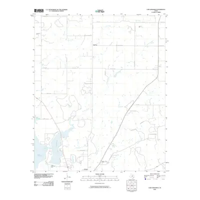
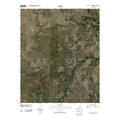
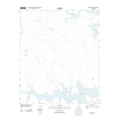
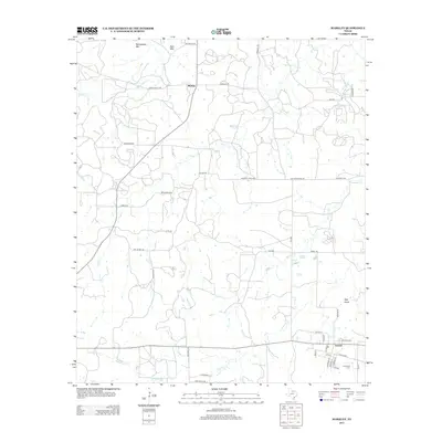
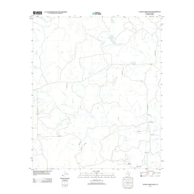
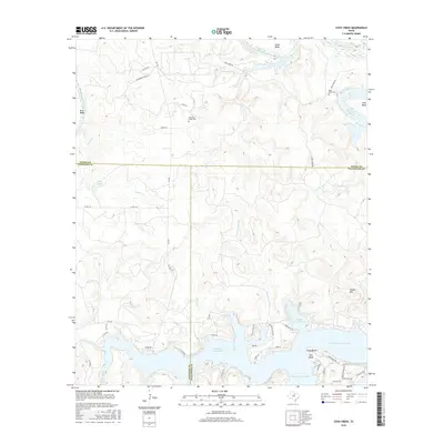
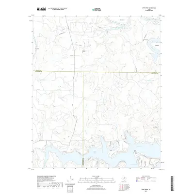
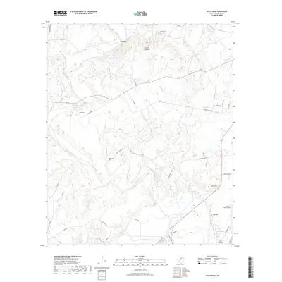
2022 Map of Cove Creek
USGS Topo · Published 2022About this map
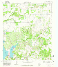
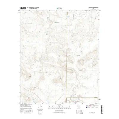
The Brazos River carves a winding path through this North Texas landscape, defining the boundaries where Young, Stephens, and Palo Pinto counties meet. The southern portion of the sheet is dominated by the northern reaches of Possum Kingdom Lake, including the designated recreation areas of Possum Kingdom State Park. The shoreline here is deeply indented by numerous inlets such as Fox Hollow Cr and Maloney Cr, reflecting the complex topography created by the river's historical meanders.
Find a feature on this map
59 named features on this map. Tap any name to fly to it.
Don’t see what you’re looking for? This feature index may not catch every label — zoom into the map to look around manually.
Map Details
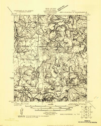
Editions of this 2022 Cove Creek Map
This is the sole edition of this map. No revisions or reprints were ever made.
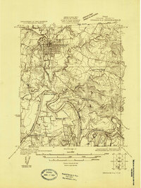
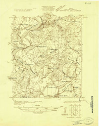
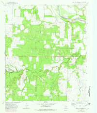
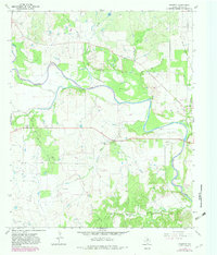
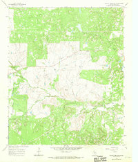
Historical Maps of Palo Pinto County Through Time
69 maps found
1924 Breckenridge 1-a
Young County, TX
1924 Graham 4-d
Young County, TX
1925 Graham 4-c
Young County, TX
1964 Lake Eddleman
Young County, TX
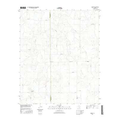
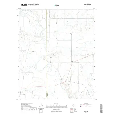
1964 Markley
Young County, TX
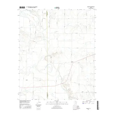
1964 Padgett
Young County, TX
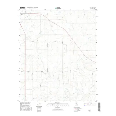
1964 True
Young County, TX
1966 Murray
Young County, TX
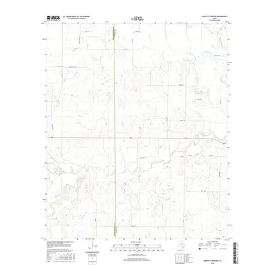
1966 Proffitt Crossing
Young County, TX
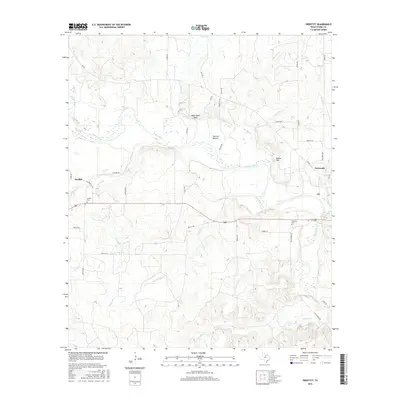
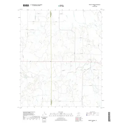
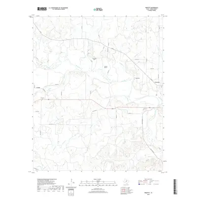
1966 Proffitt
Young County, TX
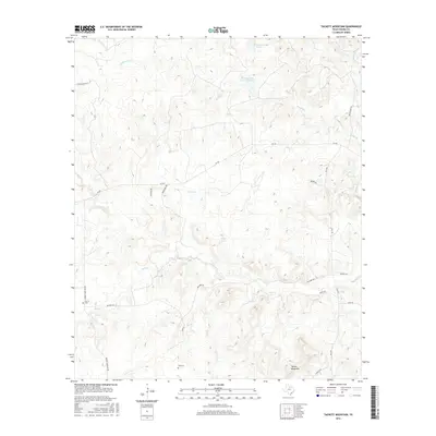
1966 Tackett Mountain
Young County, TX
1967 Cove Creek
Young County, TX
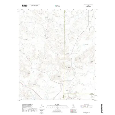
1967 Ross Mountain
Young County, TX
1967 South Bend
Young County, TX
2010 Cove Creek
Young County, TX
2010 Lake Eddleman
Young County, TX
2010 Markley
Young County, TX
2010 Murray
Young County, TX
2010 Padgett
Young County, TX
2010 Proffitt Crossing
Young County, TX
2010 Proffitt
Young County, TX
2010 Ross Mountain
Young County, TX
2010 South Bend
Young County, TX
2010 Tackett Mountain
Young County, TX
2010 True
Young County, TX
2012 Cove Creek
Young County, TX
2012 Lake Eddleman
Young County, TX
2012 Markley
Young County, TX
2012 Murray
Young County, TX
2012 Proffitt Crossing
Young County, TX
2012 Ross Mountain
Young County, TX
2012 Tackett Mountain
Young County, TX
2012 True
Young County, TX
2013 Padgett
Young County, TX
2013 Proffitt
Young County, TX
2013 South Bend
Young County, TX
2016 Cove Creek
Young County, TX
2016 Lake Eddleman
Young County, TX
2016 Markley
Young County, TX
2016 Murray
Young County, TX
2016 Padgett
Young County, TX
2016 Proffitt Crossing
Young County, TX
2016 Proffitt
Young County, TX
2016 Ross Mountain
Young County, TX
2016 South Bend
Young County, TX
2016 Tackett Mountain
Young County, TX
2016 True
Young County, TX
2019 Cove Creek
Young County, TX
2019 Lake Eddleman
Young County, TX
2019 Markley
Young County, TX
2019 Murray
Young County, TX
2019 Padgett
Young County, TX
2019 Proffitt Crossing
Young County, TX
2019 Proffitt
Young County, TX
2019 Ross Mountain
Young County, TX
2019 South Bend
Young County, TX
2019 Tackett Mountain
Young County, TX
2019 True
Young County, TX
2022 Cove Creek
Young County, TX
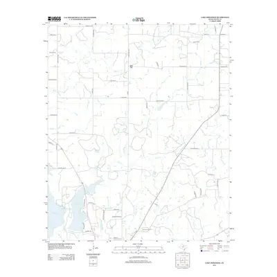
2022 Lake Eddleman
Young County, TX
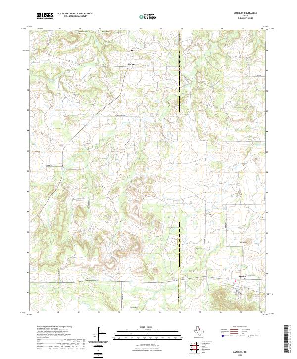
2022 Markley
Young County, TX
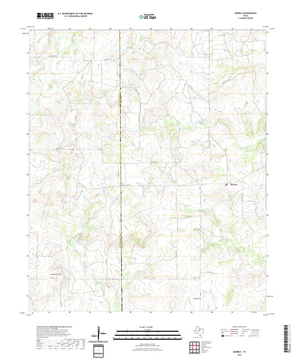
2022 Murray
Young County, TX
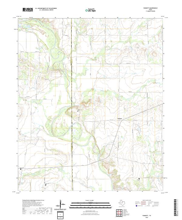
2022 Padgett
Young County, TX
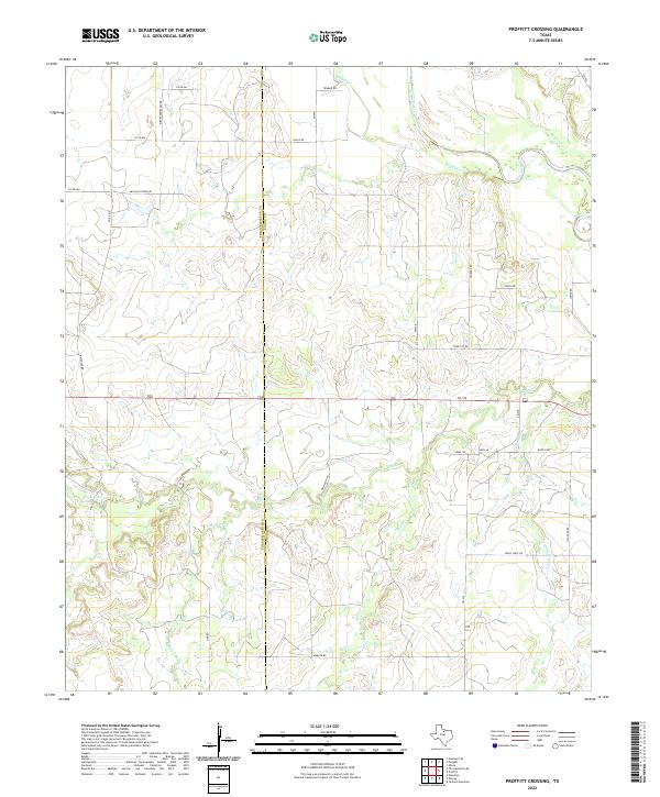
2022 Proffitt Crossing
Young County, TX
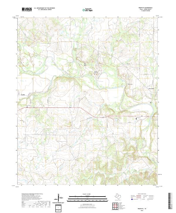
2022 Proffitt
Young County, TX
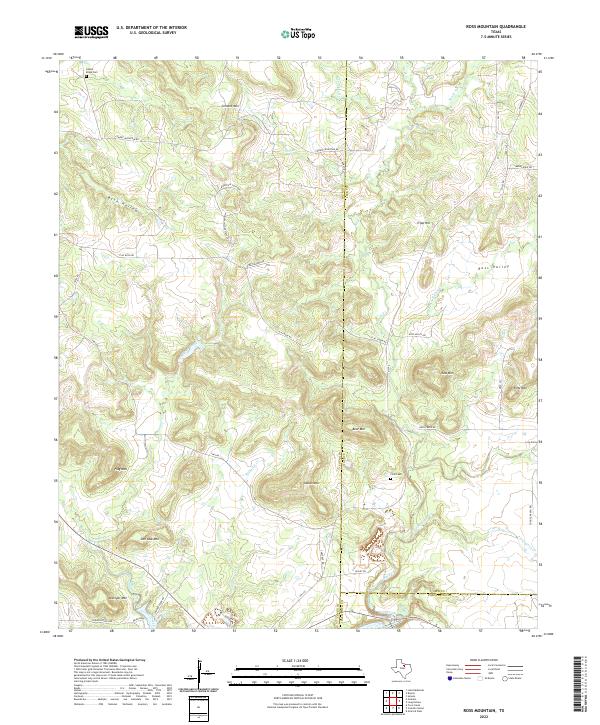
2022 Ross Mountain
Young County, TX
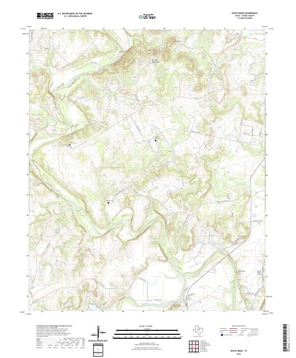
2022 South Bend
Young County, TX

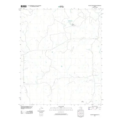
2022 Tackett Mountain
Young County, TX
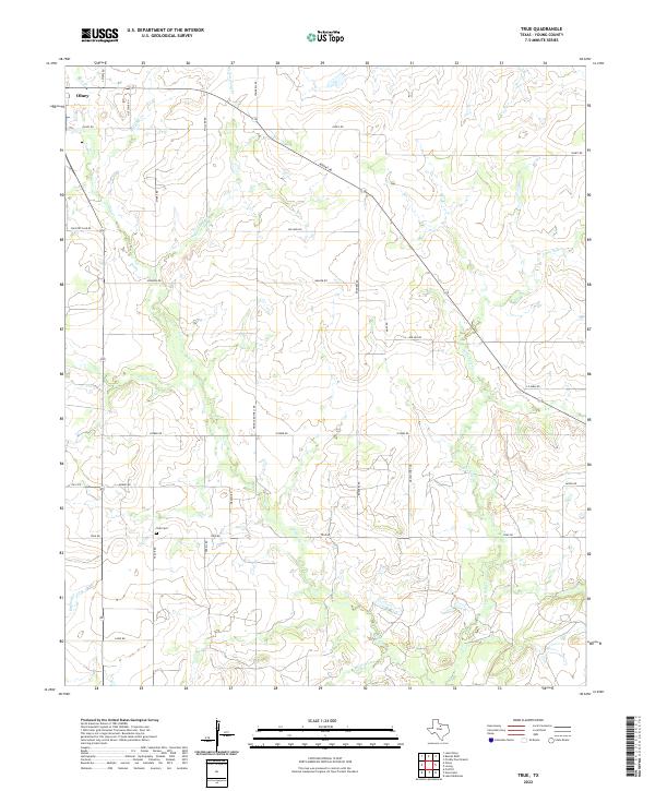
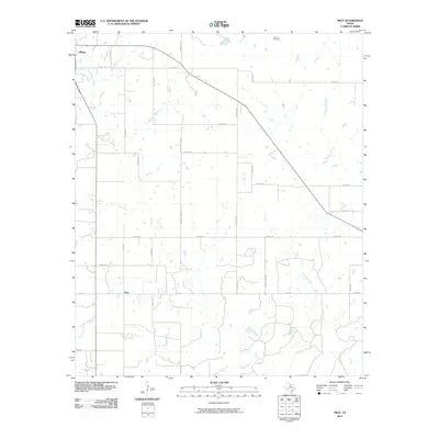
2022 True
Young County, TX