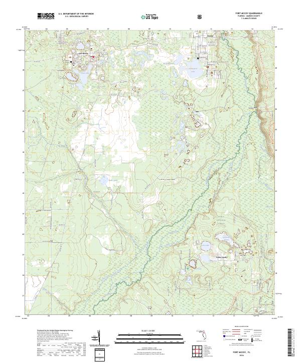
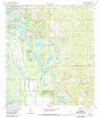
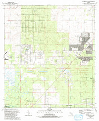
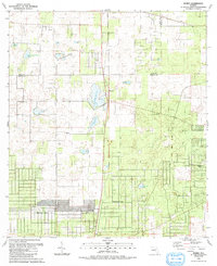
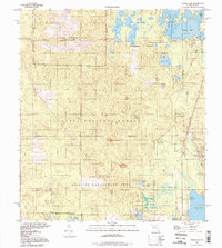
2024 Map of Fort McCoy
USGS Topo · Published 2024About this map
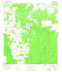
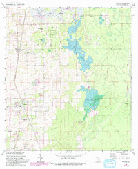
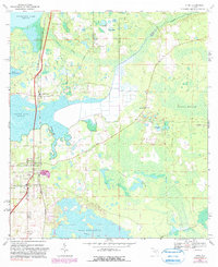
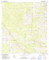
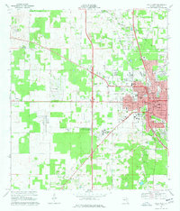
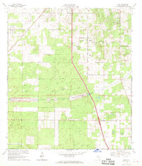
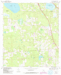
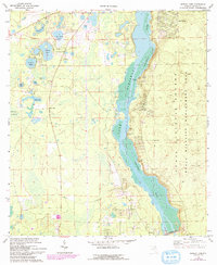
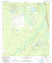
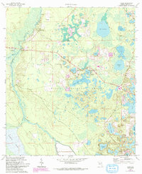
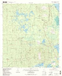
Fort McCoy serves as a primary hub in this northern Marion County landscape, where the cypress-lined banks of the Ocklawaha River wind through the eastern reaches of the Ocala National Forest. The geography is defined by a dense network of wetlands and named water bodies including Graveyard Lake, Silver Lake, and Lake Lynne, alongside the meandering path of the Dead River. Genealogists will find significant local value in the recorded locations of several burial grounds, including the Fort McCoy Cem, the Fort McCoy Negro Cem, and the Eureka Cem near the settlement of Eureka. To the south, the terrain transitions into the distinct open space of Parramore Prairie and the wooded rises of Oakie Head, illustrating the diverse ecological zones of the Florida interior. These features, along with smaller settlements like Sunday Bluff and Cedar Creek, highlight a region where historical land use is deeply tied to the surrounding river and forest resources.
Find a feature on this map
68 named features on this map. Tap any name to fly to it.
Don’t see what you’re looking for? This feature index may not catch every label — zoom into the map to look around manually.
Map Details
Editions of this 2024 Fort McCoy Map
This is the sole edition of this map. No revisions or reprints were ever made.
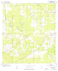
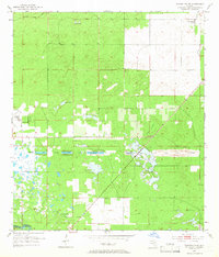
Historical Maps of Eureka Through Time
54 maps found

1893 Citra
Marion County, FL
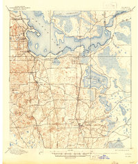
1895 Citra
Marion County, FL
1954 Cotton Plant
Marion County, FL
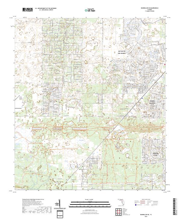
1954 Dunnellon SE
Marion County, FL
1954 Romeo
Marion County, FL
1967 Anthony
Marion County, FL
1967 Citra
Marion County, FL

1967 Ocala East
Marion County, FL
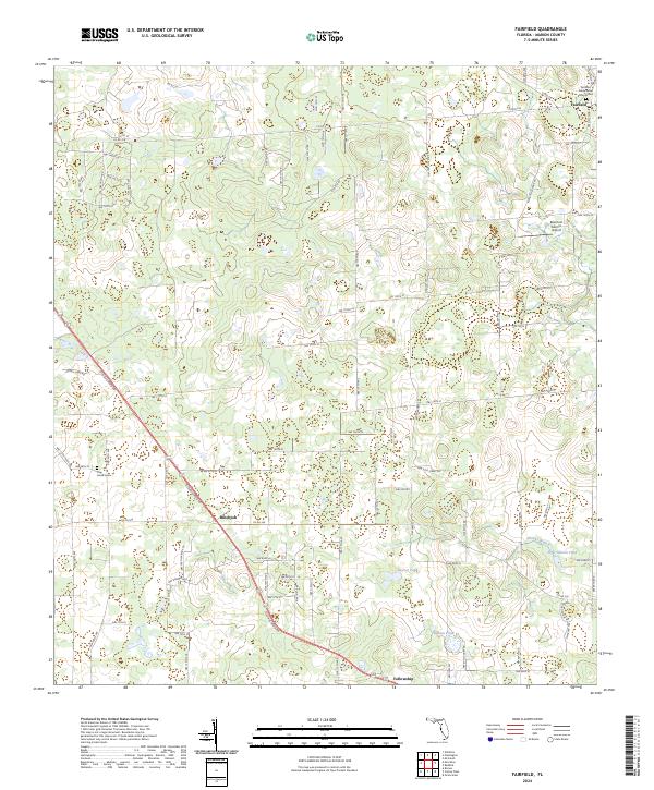
1968 Fairfield
Marion County, FL
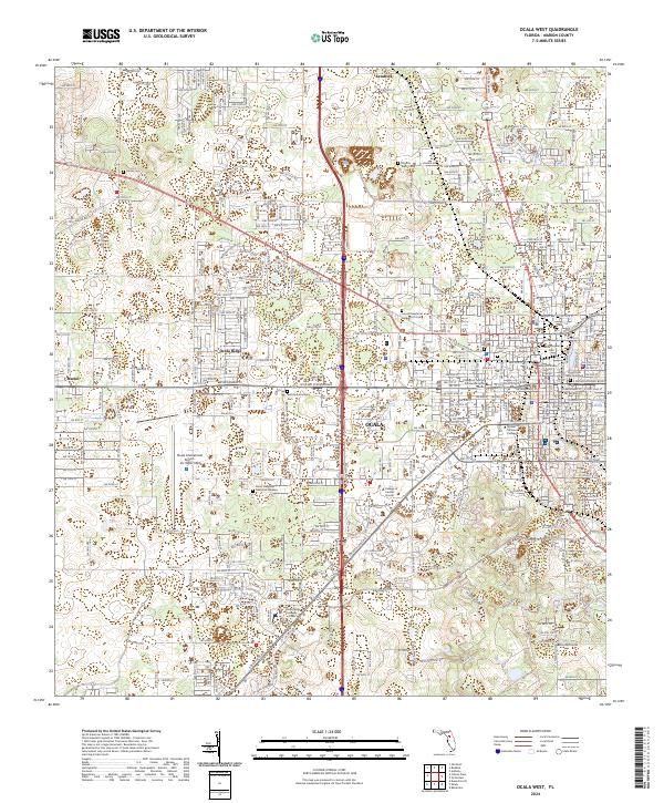
1968 Ocala West
Marion County, FL
1968 Shady
Marion County, FL
1969 Flemington
Marion County, FL
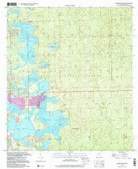
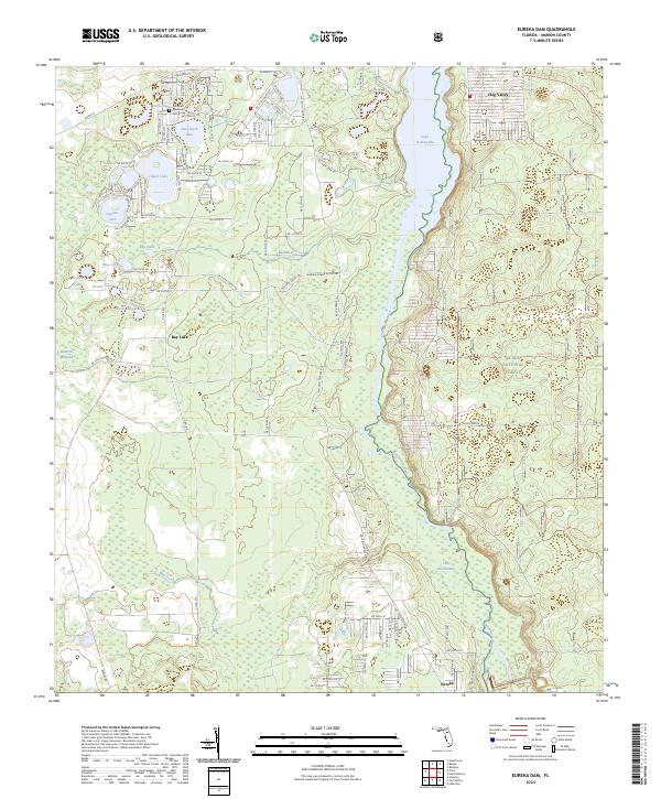
1970 Eureka Dam
Marion County, FL
1970 Fort Mc Coy
Marion County, FL
1970 Halfmoon Lake
Marion County, FL
1970 Lake Delancy
Marion County, FL
1970 Lake Weir
Marion County, FL
1970 Lynne
Marion County, FL
1970 Salt Springs
Marion County, FL
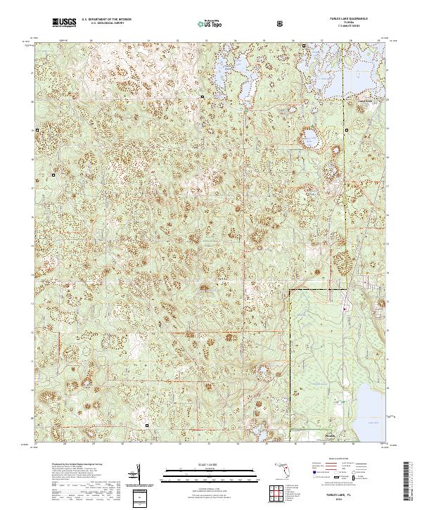
1972 Farles Lake
Marion County, FL
1972 Juniper Springs
Marion County, FL
1972 Lake Mary
Marion County, FL

1991 Cotton Plant
Marion County, FL
1991 Dunnellon SE
Marion County, FL

1991 Ocala East
Marion County, FL

1991 Ocala West
Marion County, FL
1991 Romeo
Marion County, FL

1991 Shady
Marion County, FL
1994 Farles Lake
Marion County, FL
1994 Juniper Springs
Marion County, FL
1994 Lake Mary
Marion County, FL
1994 Salt Springs
Marion County, FL
1999 Fort Mc Coy
Marion County, FL
1999 Halfmoon Lake
Marion County, FL
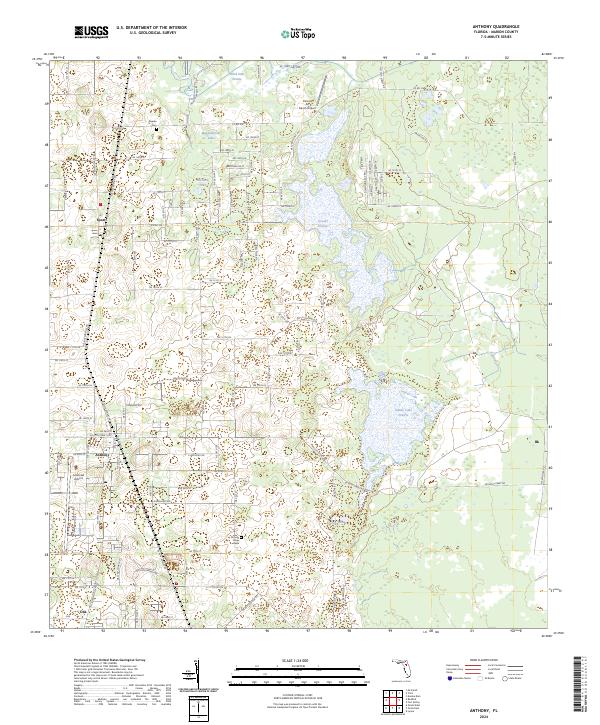
2024 Anthony
Marion County, FL
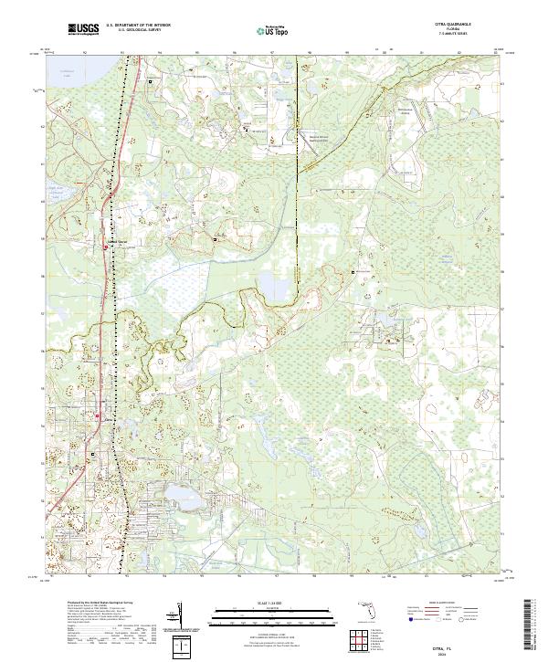
2024 Citra
Marion County, FL
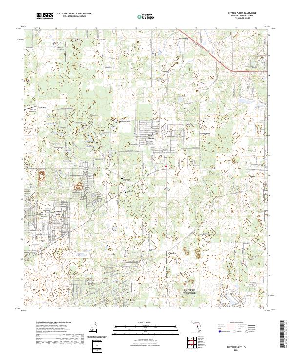
2024 Cotton Plant
Marion County, FL
2024 Dunnellon SE
Marion County, FL
2024 Eureka Dam
Marion County, FL
2024 Fairfield
Marion County, FL
2024 Farles Lake
Marion County, FL
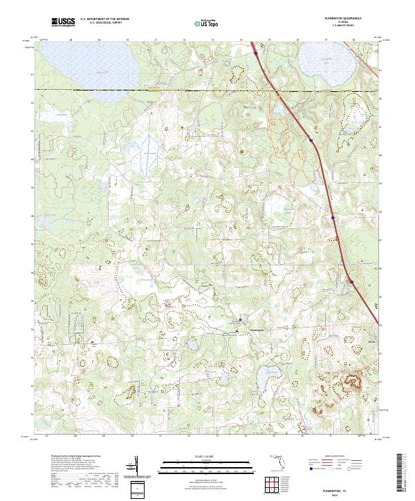
2024 Flemington
Marion County, FL
2024 Fort McCoy
Marion County, FL
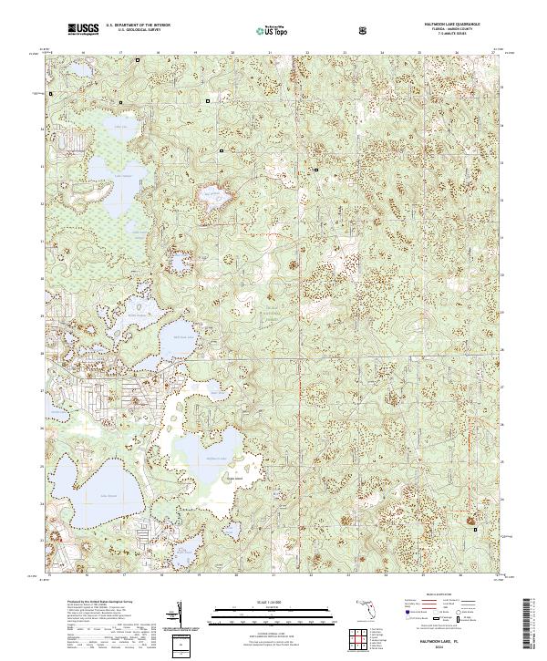
2024 Halfmoon Lake
Marion County, FL
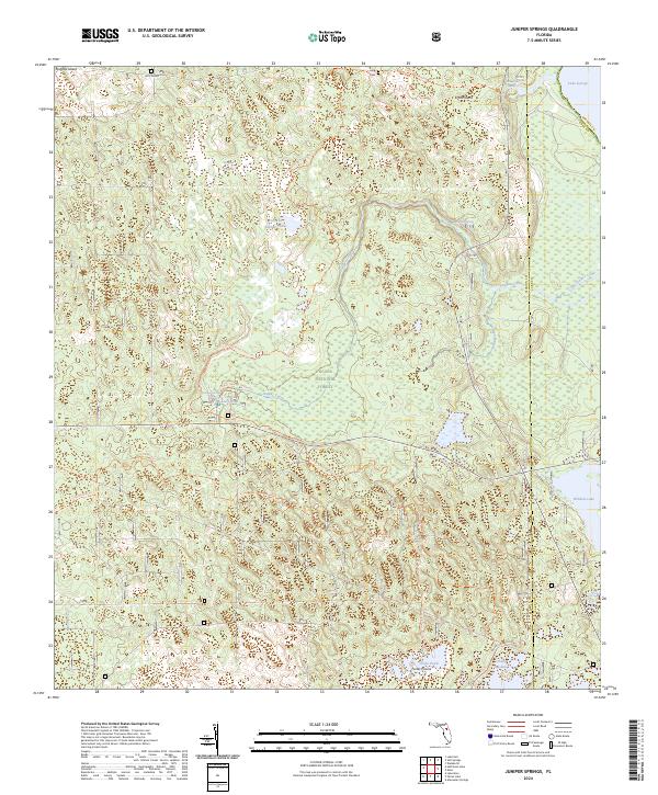
2024 Juniper Springs
Marion County, FL
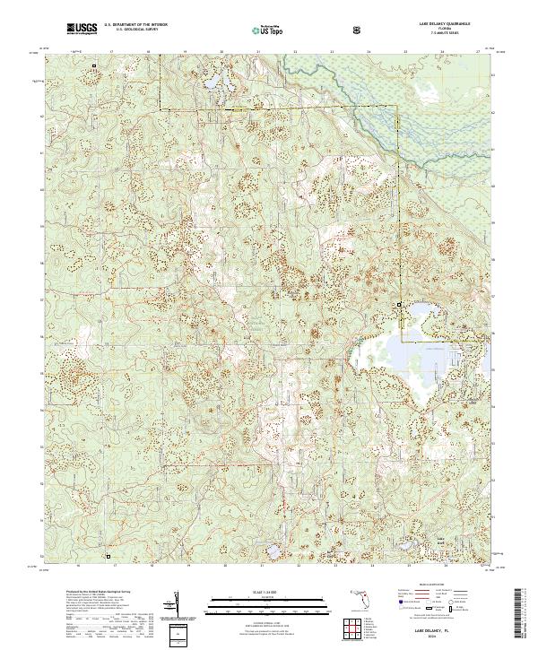
2024 Lake Delancy
Marion County, FL
2024 Lake Mary
Marion County, FL
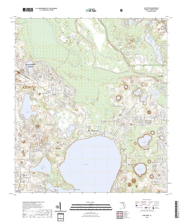
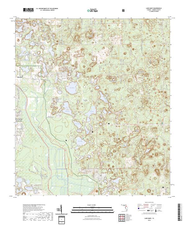
2024 Lake Weir
Marion County, FL
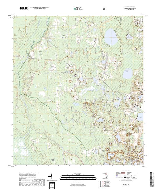
2024 Lynne
Marion County, FL
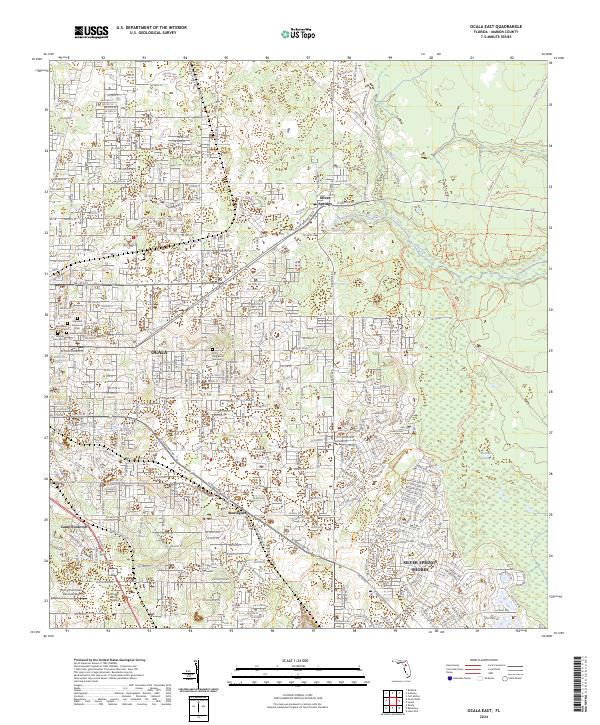
2024 Ocala East
Marion County, FL
2024 Ocala West
Marion County, FL
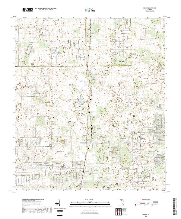
2024 Romeo
Marion County, FL
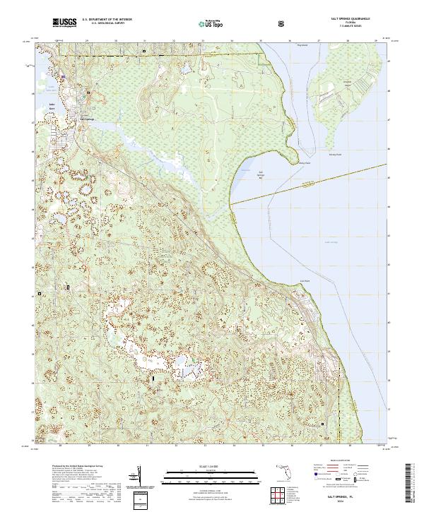
2024 Salt Springs
Marion County, FL
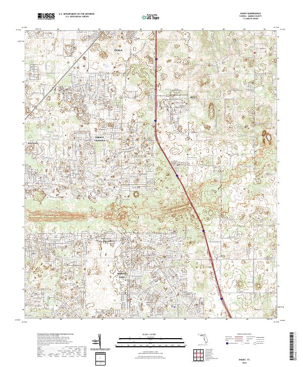
2024 Shady
Marion County, FL