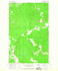
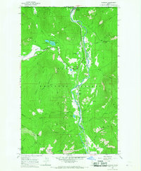
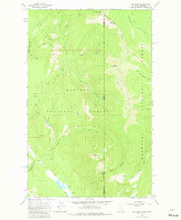
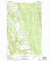
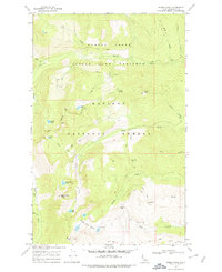
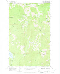
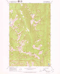
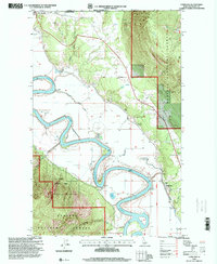
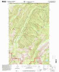
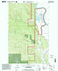
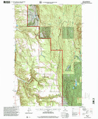
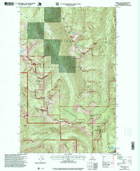
1965 Map of Hall Mountain
USGS Topo · Published 1967This historical map portrays the area of Hall Mountain in 1965, primarily covering Boundary County. Featuring a scale of 1:24000, this map provides a highly detailed snapshot of the terrain, roads, buildings, counties, and historical landmarks in the Hall Mountain region at the time. Published in 1967, it is one of 2 known editions of this map due to revisions or reprints.
Find a feature on this map
34 named features on this map. Tap any name to fly to it.
Don’t see what you’re looking for? This feature index may not catch every label — zoom into the map to look around manually.
Map Details
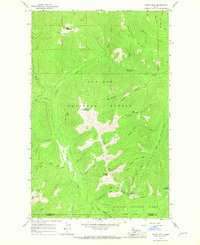
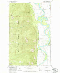
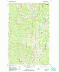
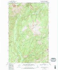
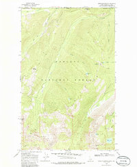
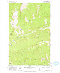
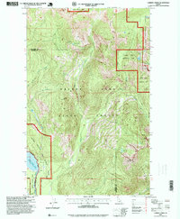
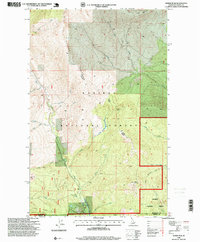
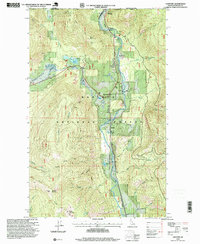
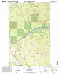
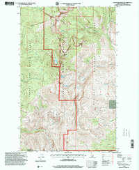
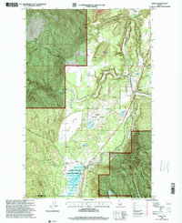
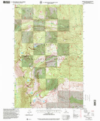
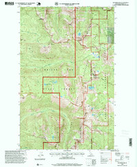
Editions of this 1965 Hall Mountain Map
2 editions found
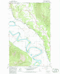
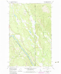
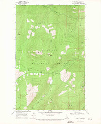
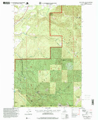
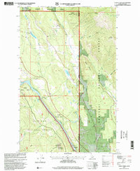
Historical Maps of Boundary County Through Time
47 maps found
1965 Clifty Mtn
Boundary County, ID
1965 Copeland
Boundary County, ID
1965 Curley Creek
Boundary County, ID
1965 Eastport
Boundary County, ID
1965 Farnham Peak
Boundary County, ID
1965 Hall Mountain
Boundary County, ID
1965 Leonia
Boundary County, ID
1965 Line Point
Boundary County, ID
1965 Meadow Creek
Boundary County, ID
1965 Moravia
Boundary County, ID
1965 Naples
Boundary County, ID
1965 Ritz
Boundary County, ID
1965 Twentymile Creek
Boundary County, ID
1967 Dodge Peak
Boundary County, ID
1967 Mount Roothaan
Boundary County, ID
1967 Roman Nose
Boundary County, ID
1967 The Wigwams
Boundary County, ID
1968 Continental Mtn
Boundary County, ID
1968 Smith Falls
Boundary County, ID
1969 Caribou Creek
Boundary County, ID
1969 Grass Mountain
Boundary County, ID
1969 Pyramid Peak
Boundary County, ID
1969 Shorty Peak
Boundary County, ID
1969 Smith Peak
Boundary County, ID
1996 Caribou Creek
Boundary County, ID
1996 Clifty Mountain
Boundary County, ID
1996 Continental Mountain
Boundary County, ID
1996 Copeland
Boundary County, ID
1996 Dodge Peak
Boundary County, ID
1996 Eastport
Boundary County, ID
1996 Farnham Peak
Boundary County, ID
1996 Grass Mountain
Boundary County, ID
1996 Hall Mountain
Boundary County, ID
1996 Line Point
Boundary County, ID
1996 Meadow Creek
Boundary County, ID
1996 Moravia
Boundary County, ID
1996 Mount Roothaan
Boundary County, ID
1996 Naples
Boundary County, ID
1996 Pyramid Peak
Boundary County, ID
1996 Ritz
Boundary County, ID
1996 Roman Nose
Boundary County, ID
1996 Shorty Peak
Boundary County, ID
1996 Smith Falls
Boundary County, ID
1996 Smith Peak
Boundary County, ID
1996 The Wigwams
Boundary County, ID
1996 Twentymile Creek
Boundary County, ID
1997 Curley Creek
Boundary County, ID