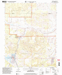
2002 Map of Hebron
USGS Topo · Published 2005This historical map portrays the area of Hebron in 2002, primarily covering Washington County as well as portions of Iron County. Featuring a scale of 1:24000, this map provides a highly detailed snapshot of the terrain, roads, buildings, counties, and historical landmarks in the Hebron region at the time. Published in 2005, it is the sole known edition of this map.
Map Details
Editions of this 2002 Hebron Map
This is the sole edition of this map. No revisions or reprints were ever made.
Historical Maps of Washington County Through Time
68 maps found
1954 Beaver Dam Mts NE
Washington County, UT
1954 Beaver Dam Mts SE
Washington County, UT
1954 Gunlock
Washington County, UT
1954 La Verkin 1 SW
Washington County, UT
1954 La Verkin 2 SE
Washington County, UT
1954 La Verkin 3 NE
Washington County, UT
1954 La Verkin 3 NW
Washington County, UT
1954 La Verkin 3 SE
Washington County, UT
1954 La Verkin 3 SW
Washington County, UT
1954 La Verkin 4 NW
Washington County, UT
1954 La Verkin 4 SE
Washington County, UT
1954 La Verkin 4 SW
Washington County, UT
1954 Orderville Canyon NW
Washington County, UT
1956 Springdale SW
Washington County, UT
1956 St. George NE
Washington County, UT
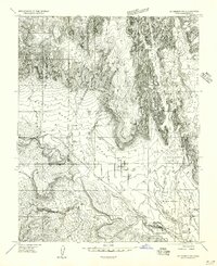
1956 St. George NW
Washington County, UT
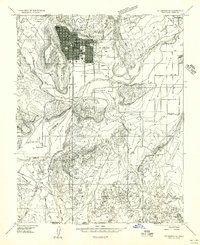
1956 St. George SE
Washington County, UT
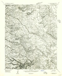
1956 St. George SW
Washington County, UT
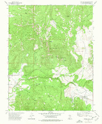
1972 Central East
Washington County, UT
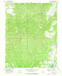
1972 Central West
Washington County, UT
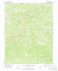
1972 Goldstrike
Washington County, UT
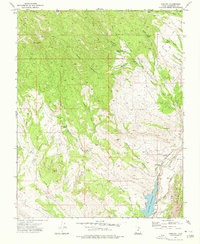
1972 Gunlock
Washington County, UT
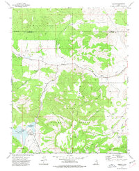
1972 Hebron
Washington County, UT
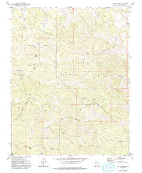
1972 Maple Ridge
Washington County, UT
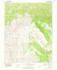
1972 Motoqua
Washington County, UT
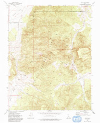
1972 Pinto
Washington County, UT
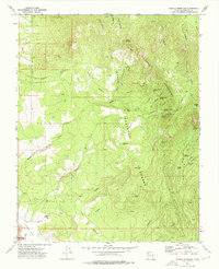
1972 Saddle Mountain
Washington County, UT
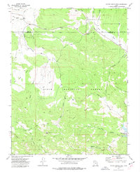
1972 Water Canyon Peak
Washington County, UT
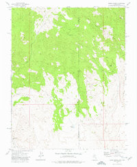
1973 Dodge Spring
Washington County, UT
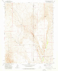
1973 Scarecrow Peak
Washington County, UT

1980 Cogswell Point
Washington County, UT
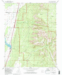
1980 Kolob Arch
Washington County, UT
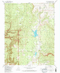
1980 Kolob Reservoir
Washington County, UT
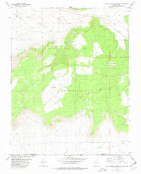
1980 Little Creek Mountain
Washington County, UT
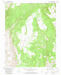
1980 Smith Mesa
Washington County, UT
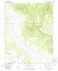
1980 Smithsonian Butte
Washington County, UT
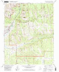
1980 Springdale East
Washington County, UT
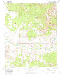
1980 Springdale West
Washington County, UT
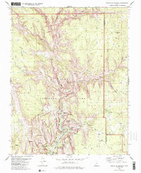
1980 Temple of Sinawava
Washington County, UT
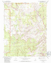
1980 The Guardian Angels
Washington County, UT
1983 Castle Cliff
Washington County, UT
1983 Jarvis Peak
Washington County, UT
1983 Shivwits
Washington County, UT
1983 West Mountain Peak
Washington County, UT
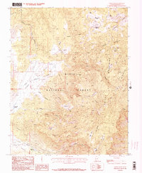
1986 Grass Valley
Washington County, UT
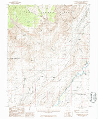
1986 Harrisburg Junction
Washington County, UT
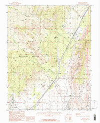
1986 Pintura
Washington County, UT
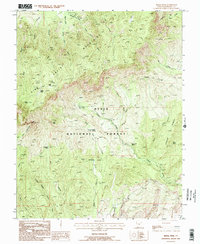
1986 Signal Peak
Washington County, UT
1986 The Divide
Washington County, UT
1986 Washington Dome
Washington County, UT
1986 White Hills
Washington County, UT
1996 The Guardian Angels
Washington County, UT
1997 Springdale East
Washington County, UT
1997 Temple of Sinawava
Washington County, UT
1999 Springdale West
Washington County, UT
2002 Central East
Washington County, UT
2002 Central West
Washington County, UT
2002 Goldstrike
Washington County, UT
2002 Grass Valley
Washington County, UT
2002 Gunlock
Washington County, UT

2002 Hebron
Washington County, UT
2002 Maple Ridge
Washington County, UT
2002 Pine Park
Washington County, UT
2002 Pinto
Washington County, UT
2002 Pintura
Washington County, UT
2002 Saddle Mountain
Washington County, UT
2002 Signal Peak
Washington County, UT
2002 Water Canyon
Washington County, UT