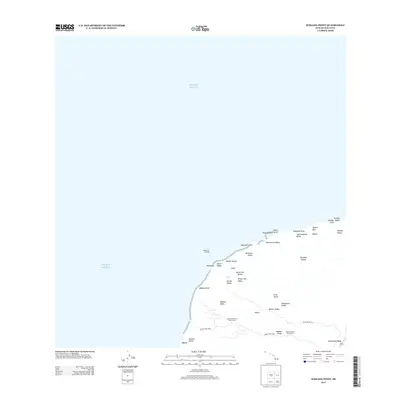
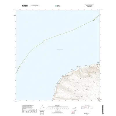
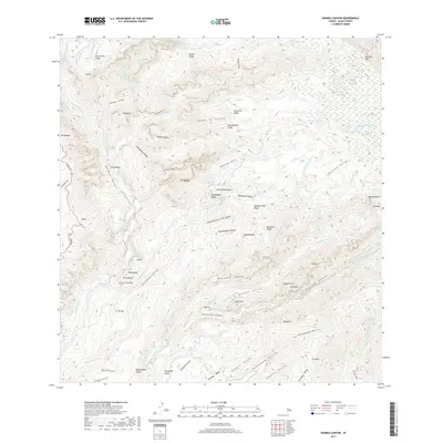
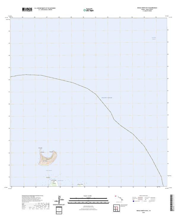
2024 Map of Niihau North OE NW
USGS Topo · Published 2024About this map
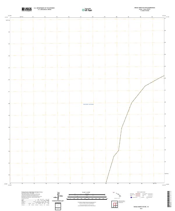
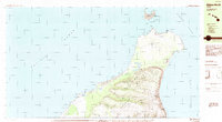
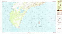
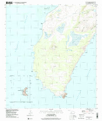
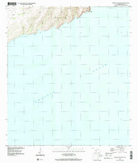
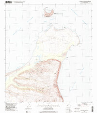
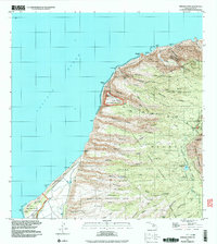
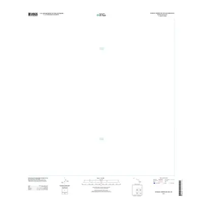
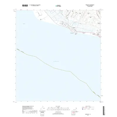
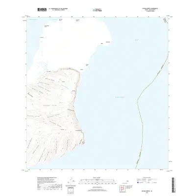
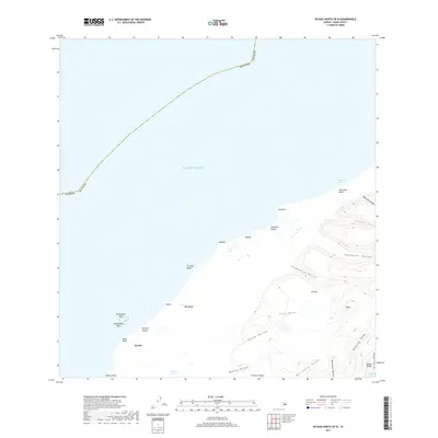
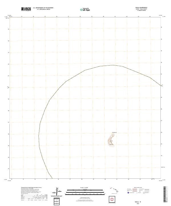
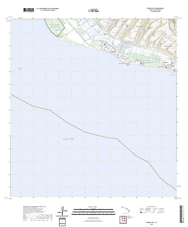
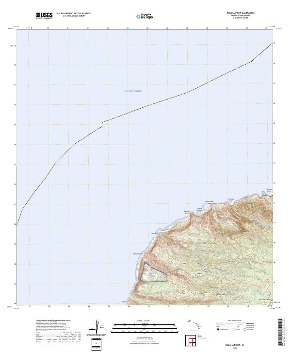
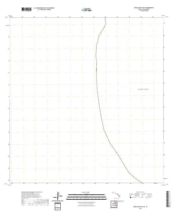
The vast expanse of the Pacific Ocean dominates this maritime survey off the northern coast of Niihau. Produced by the U.S. Geological Survey in 2024, the map focuses on the open waters of the Kauai County archipelago. The lack of terrestrial features or bathymetric contours indicates a deep-water area where the marine environment remains the primary subject. For researchers or maritime historians, the sheet provides a precise coordinate system for the waters surrounding one of Hawaii's most secluded islands, documenting the contemporary boundaries of the state's northwestern reaches.
Find a feature on this map
1 named feature on this map. Tap any name to fly to it.
Don’t see what you’re looking for? This feature index may not catch every label — zoom into the map to look around manually.
Map Details
Editions of this 2024 Niihau North OE NW Map
This is the sole edition of this map. No revisions or reprints were ever made.
Historical Maps of Kauai County Through Time
51 maps found

1954 Kauai
Kauai County, HI
1965 Makaha Point
Kauai County, HI

1965 Waialeale
Kauai County, HI
1965 Waimea Canyon
Kauai County, HI

1967 Kauai
Kauai County, HI

1970 Kauai
Kauai County, HI
1983 Makaha Point
Kauai County, HI
1983 Waialeale
Kauai County, HI
1983 Waimea Canyon
Kauai County, HI
1984 Niihau North
Kauai County, HI
1984 Niihau South
Kauai County, HI
1989 Halalii Lake
Kauai County, HI
1989 Honuaula Valley
Kauai County, HI
1989 Kalanei
Kauai County, HI
1989 Keanauhi Valley
Kauai County, HI
1991 Makaha Point
Kauai County, HI
1991 Waialeale
Kauai County, HI
1991 Waimea Canyon
Kauai County, HI
2013 Kaula
Kauai County, HI
2013 Kekaha OE S
Kauai County, HI
2013 Makaha Point
Kauai County, HI
2013 Niihau North
Kauai County, HI
2013 Niihau North OE N
Kauai County, HI
2013 Niihau North OE NW
Kauai County, HI
2013 Niihau North OE W
Kauai County, HI
2013 Niihau South
Kauai County, HI
2013 Niihau South OE W
Kauai County, HI
2013 Waialeale
Kauai County, HI
2013 Waimea Canyon
Kauai County, HI
2017 Kaula
Kauai County, HI
2017 Kekaha OE S
Kauai County, HI
2017 Makaha Point
Kauai County, HI
2017 Niihau North
Kauai County, HI
2017 Niihau North OE N
Kauai County, HI
2017 Niihau North OE NW
Kauai County, HI
2017 Niihau North OE W
Kauai County, HI
2017 Niihau South
Kauai County, HI
2017 Niihau South OE W
Kauai County, HI
2017 Waialeale
Kauai County, HI
2017 Waimea Canyon
Kauai County, HI
2024 Kaula
Kauai County, HI
2024 Kekaha OE S
Kauai County, HI
2024 Makaha Point
Kauai County, HI
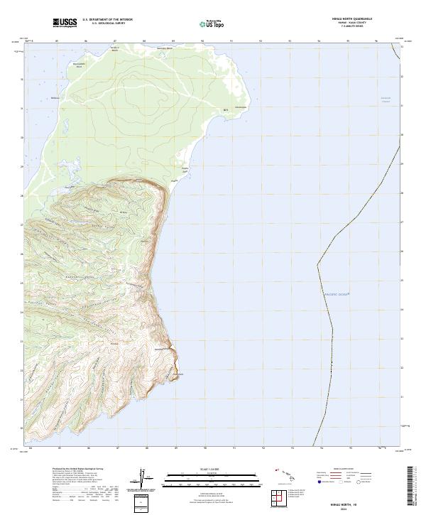
2024 Niihau North
Kauai County, HI
2024 Niihau North OE N
Kauai County, HI
2024 Niihau North OE NW
Kauai County, HI
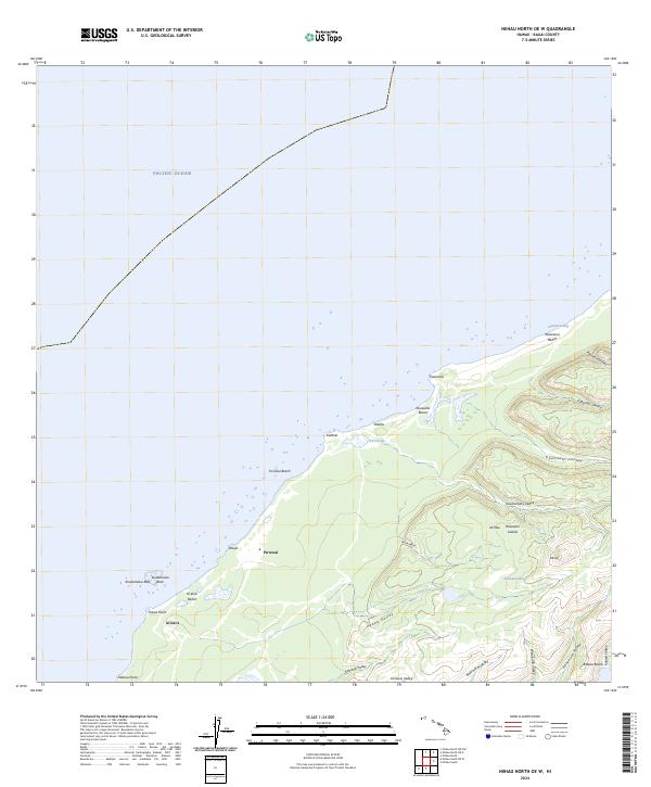
2024 Niihau North OE W
Kauai County, HI
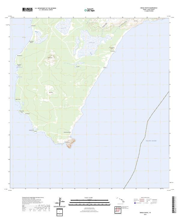
2024 Niihau South
Kauai County, HI
2024 Niihau South OE W
Kauai County, HI
2024 Waialeale
Kauai County, HI
2024 Waimea Canyon
Kauai County, HI