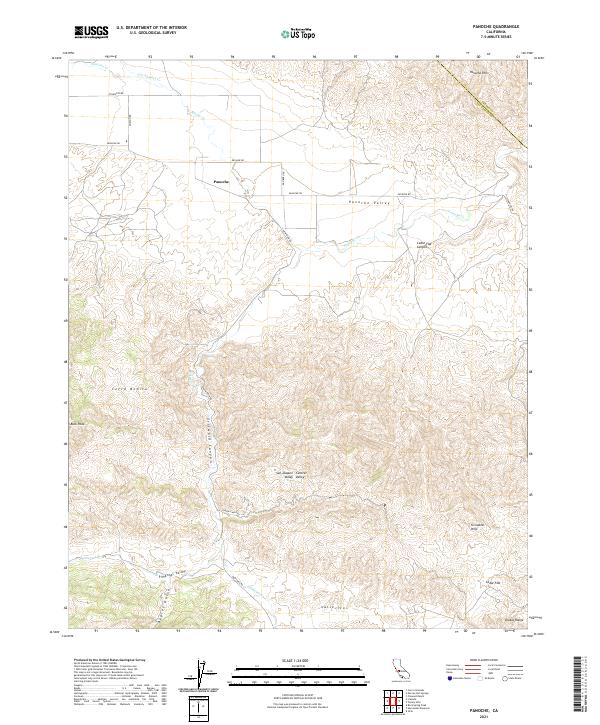
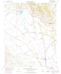
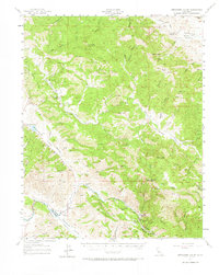
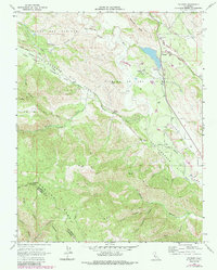
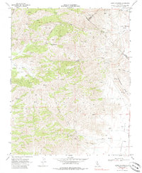
2021 Map of Panoche
USGS Topo · Published 2021About this map
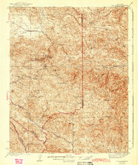
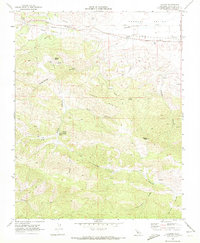
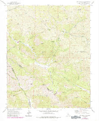
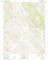
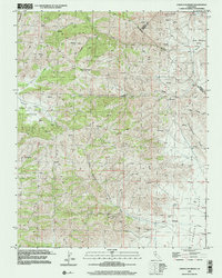
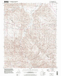
The Panoche Valley provides a stark contrast between the flat alluvial floor and the complex topography of the Diablo Range. Located along the border of Fresno and San Benito counties, the settlement of Panoche serves as a central point in an area defined by rugged drainage systems like Griswold Canyon and Babies Gulch. The road network, including the historic New Idria Rd and Panoche Rd, follows the natural contours of the land, connecting isolated valleys and summits such as Cerro Bonito.
Find a feature on this map
32 named features on this map. Tap any name to fly to it.
Don’t see what you’re looking for? This feature index may not catch every label — zoom into the map to look around manually.
Map Details
Editions of this 2021 Panoche Map
This is the sole edition of this map. No revisions or reprints were ever made.
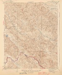
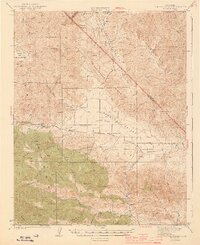
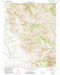
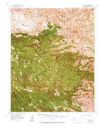
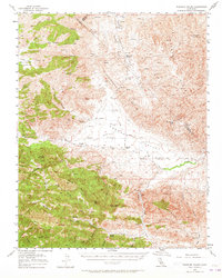
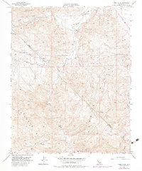
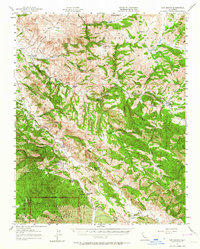
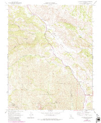
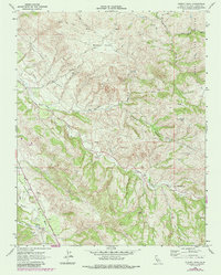
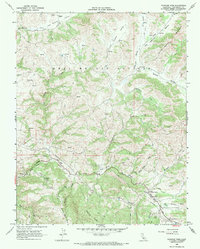
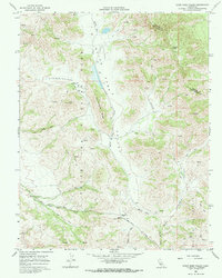
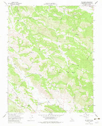
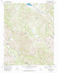
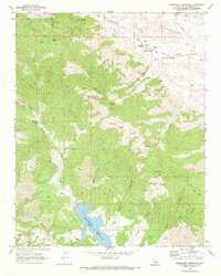
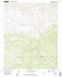
Historical Maps of Panoche Through Time
51 maps found
1919 San Benito
San Benito County, CA
1931 San Benito
San Benito County, CA
1940 San Benito
San Benito County, CA

1943 Hernandez Valley
San Benito County, CA
1943 New Idria
San Benito County, CA
1944 Hernandez Valley
San Benito County, CA
1944 Panoche Valley
San Benito County, CA
1954 Three Sisters
San Benito County, CA
1955 San Felipe
San Benito County, CA
1956 New Idria
San Benito County, CA
1956 Panoche Valley
San Benito County, CA
1956 Tumey Hills
San Benito County, CA
1957 Hernandez Valley
San Benito County, CA
1957 San Benito
San Benito County, CA
1968 Bickmore Canyon
San Benito County, CA
1968 Cherry Peak
San Benito County, CA
1968 Paicines
San Benito County, CA
1968 Panoche Pass
San Benito County, CA
1968 Quien Sabe Valley
San Benito County, CA
1968 San Benito
San Benito County, CA
1969 Cerro Colorado
San Benito County, CA
1969 Hepsedam Peak
San Benito County, CA
1969 Hernandez Reservoir
San Benito County, CA
1969 Idria
San Benito County, CA
1969 Llanada
San Benito County, CA
1969 Lonoak
San Benito County, CA
1969 Panoche
San Benito County, CA
1969 Rock Spring Peak
San Benito County, CA
1969 San Benito Mtn
San Benito County, CA
1969 Topo Valley
San Benito County, CA
2000 Cerro Colorado
San Benito County, CA
2000 Tumey Hills
San Benito County, CA
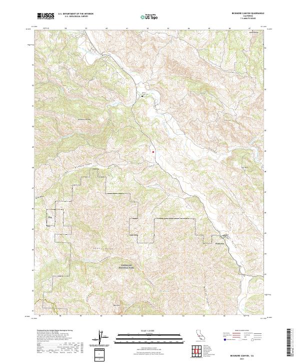
2021 Bickmore Canyon
San Benito County, CA
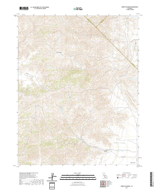
2021 Cerro Colorado
San Benito County, CA
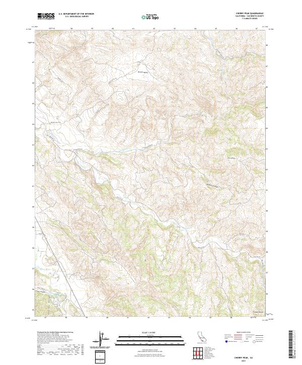
2021 Cherry Peak
San Benito County, CA
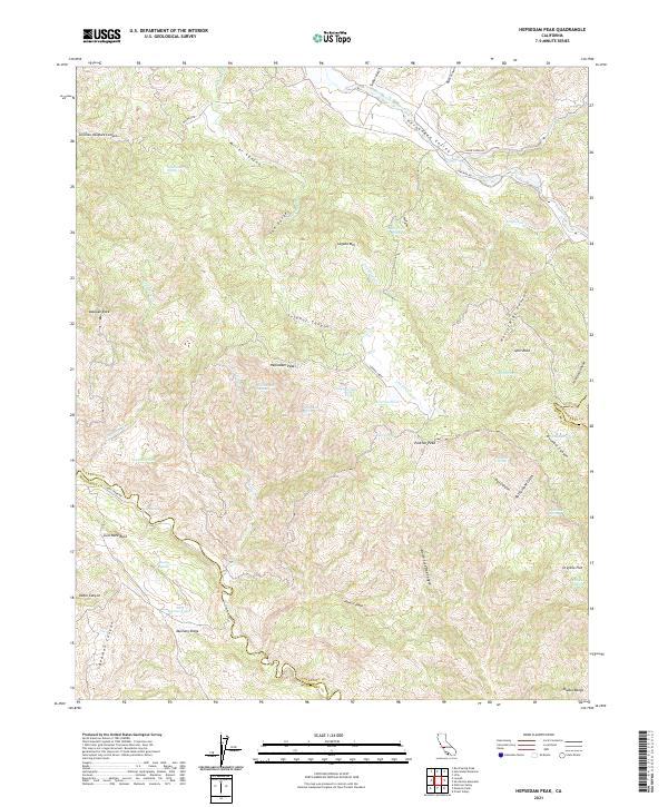
2021 Hepsedam Peak
San Benito County, CA
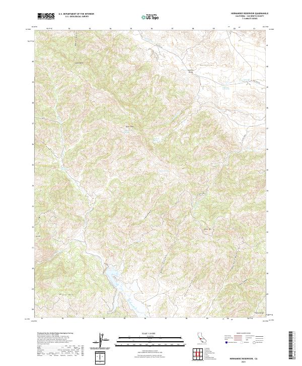
2021 Hernandez Reservoir
San Benito County, CA
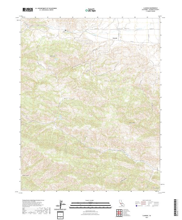
2021 Llanada
San Benito County, CA
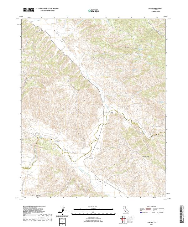
2021 Lonoak
San Benito County, CA
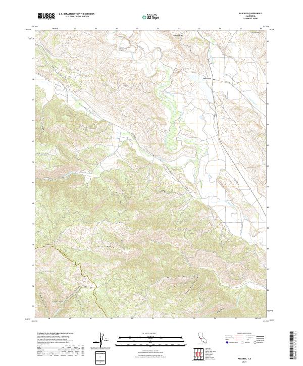
2021 Paicines
San Benito County, CA
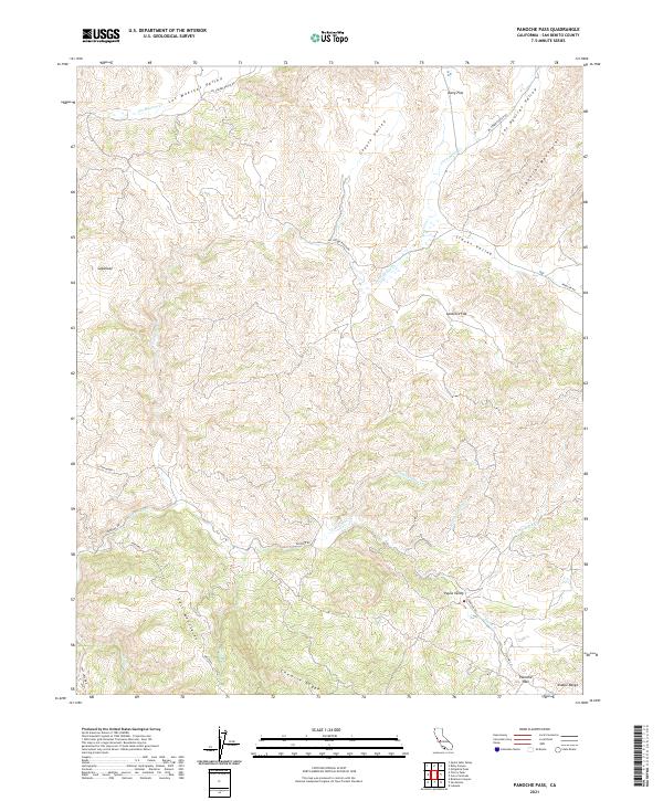
2021 Panoche Pass
San Benito County, CA
2021 Panoche
San Benito County, CA
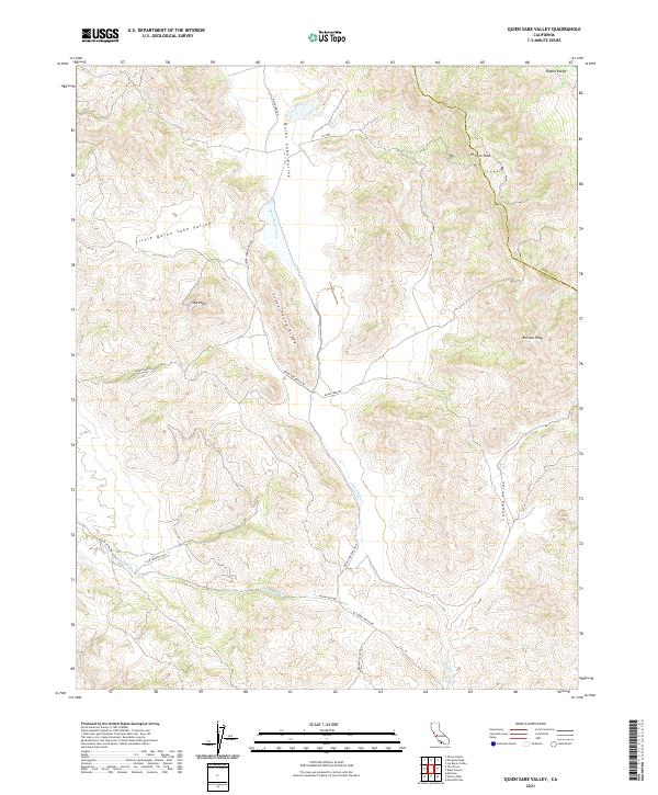
2021 Quien Sabe Valley
San Benito County, CA
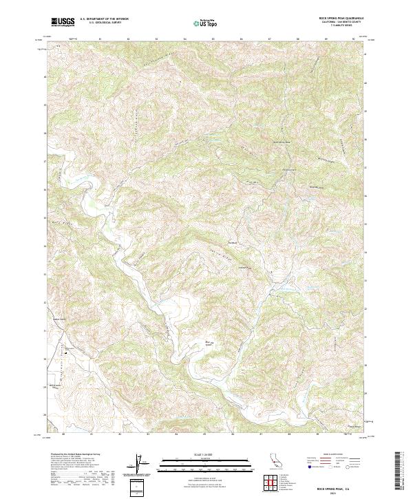
2021 Rock Spring Peak
San Benito County, CA
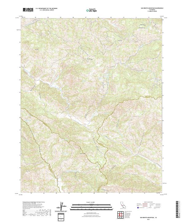
2021 San Benito Mountain
San Benito County, CA
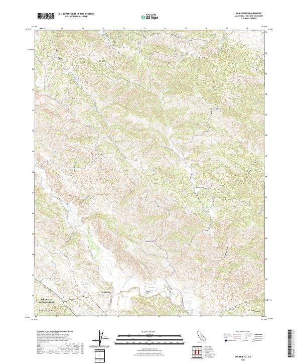
2021 San Benito
San Benito County, CA
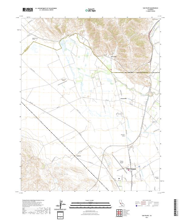
2021 San Felipe
San Benito County, CA
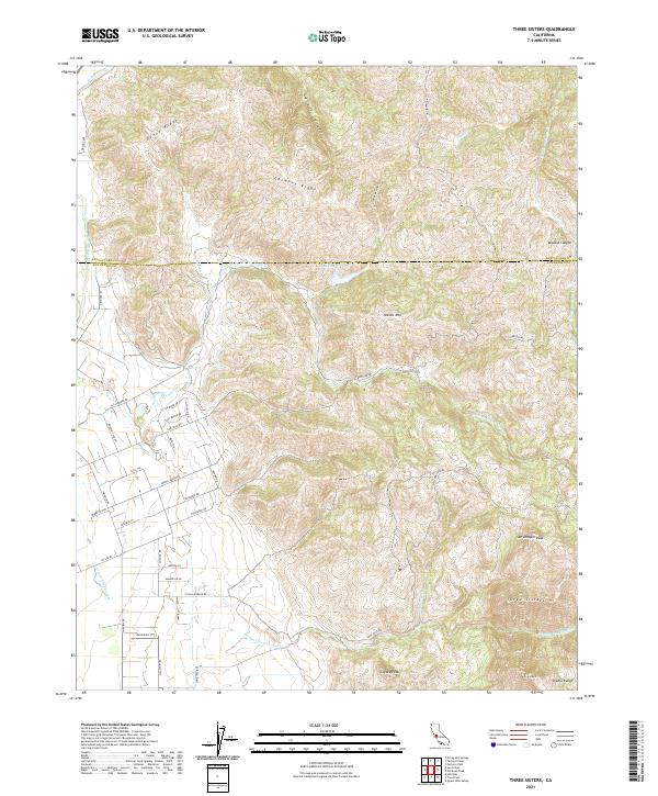
2021 Three Sisters
San Benito County, CA
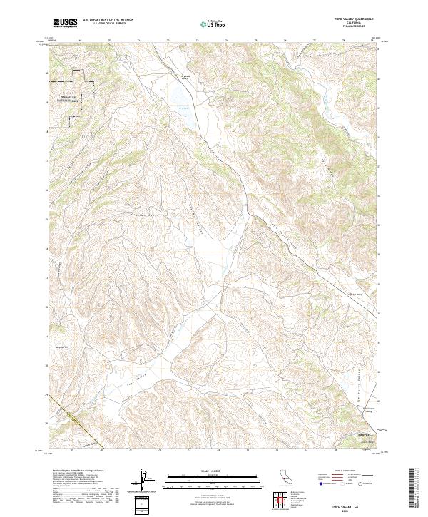
2021 Topo Valley
San Benito County, CA
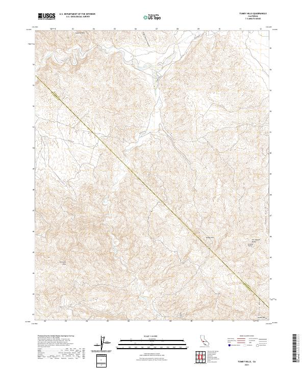
2021 Tumey Hills
San Benito County, CA
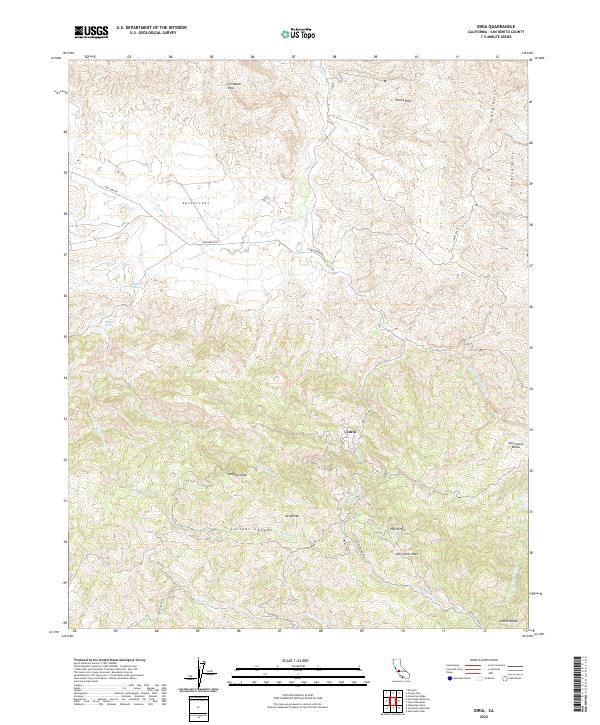
2022 Idria
San Benito County, CA