
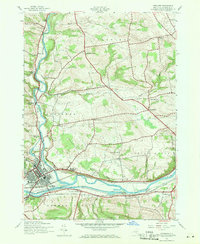
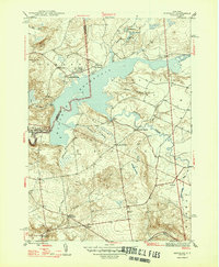
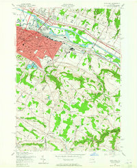
2023 Map of Salisbury
USGS Topo · Published 2023About this map
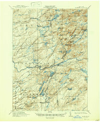
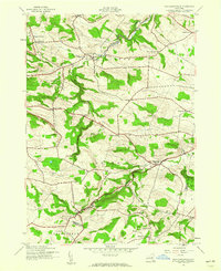
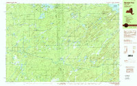
Salisbury and Salisbury Center anchor the southern portion of this Herkimer County landscape, where the foothills of the Adirondacks begin to rise. The area is defined by a series of north-south clearings and former industrial sites, most notably Paper Mill Corners and Ives Hollow. Water power once drove local enterprise here, evidenced by the Dolgeville Reservoir and the winding course of Spruce Creek.
Find a feature on this map
63 named features on this map. Tap any name to fly to it.
Don’t see what you’re looking for? This feature index may not catch every label — zoom into the map to look around manually.
Map Details
Editions of this 2023 Salisbury Map
This is the sole edition of this map. No revisions or reprints were ever made.
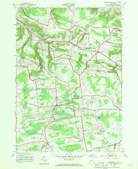
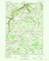
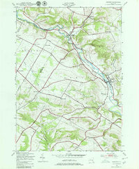
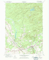
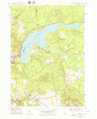
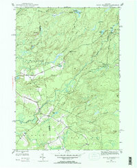
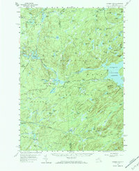
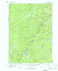
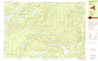
Historical Maps of Norway Through Time
62 maps found

1900 Wilmurt
Herkimer County, NY
1902 Wilmurt
Herkimer County, NY
1903 Big Moose
Herkimer County, NY
1912 Mc Keever
Herkimer County, NY

1912 Number Four
Herkimer County, NY
1915 Number Four
Herkimer County, NY
1943 Herkimer
Herkimer County, NY
1943 Jordanville
Herkimer County, NY
1943 Millers Mills
Herkimer County, NY
1943 Newport
Herkimer County, NY

1943 Utica East
Herkimer County, NY
1943 Van Hornesville
Herkimer County, NY

1945 Herkimer
Herkimer County, NY

1945 Jordanville
Herkimer County, NY

1945 Millers Mills
Herkimer County, NY

1945 Newport
Herkimer County, NY
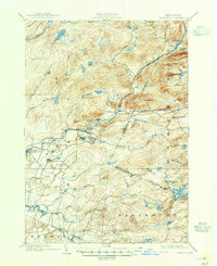
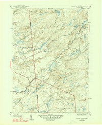
1945 Salisbury
Herkimer County, NY

1945 Utica East
Herkimer County, NY

1945 Van Hornesville
Herkimer County, NY
1946 Hinckley
Herkimer County, NY

1946 Millers Mills
Herkimer County, NY
1946 North Wilmurt
Herkimer County, NY

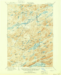
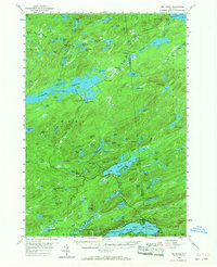
1946 Salisbury
Herkimer County, NY
1947 Hinckley
Herkimer County, NY
1947 North Wilmurt
Herkimer County, NY

1949 Herkimer
Herkimer County, NY

1949 Millers Mills
Herkimer County, NY
1954 Big Moose
Herkimer County, NY
1954 Ohio
Herkimer County, NY
1955 Utica East
Herkimer County, NY
1957 Number Four
Herkimer County, NY
1958 Mc Keever
Herkimer County, NY

1982 Newport
Herkimer County, NY

1983 Utica East
Herkimer County, NY

1989 Beavers River
Herkimer County, NY
1989 Honnedaga Lake
Herkimer County, NY

1989 Mc Keever
Herkimer County, NY

1989 Morehouseville
Herkimer County, NY
1989 Number Four
Herkimer County, NY

1989 Ohio
Herkimer County, NY

1989 Stillwater
Herkimer County, NY

2023 Beaver River
Herkimer County, NY

2023 Big Moose
Herkimer County, NY

2023 Bisby Lakes
Herkimer County, NY
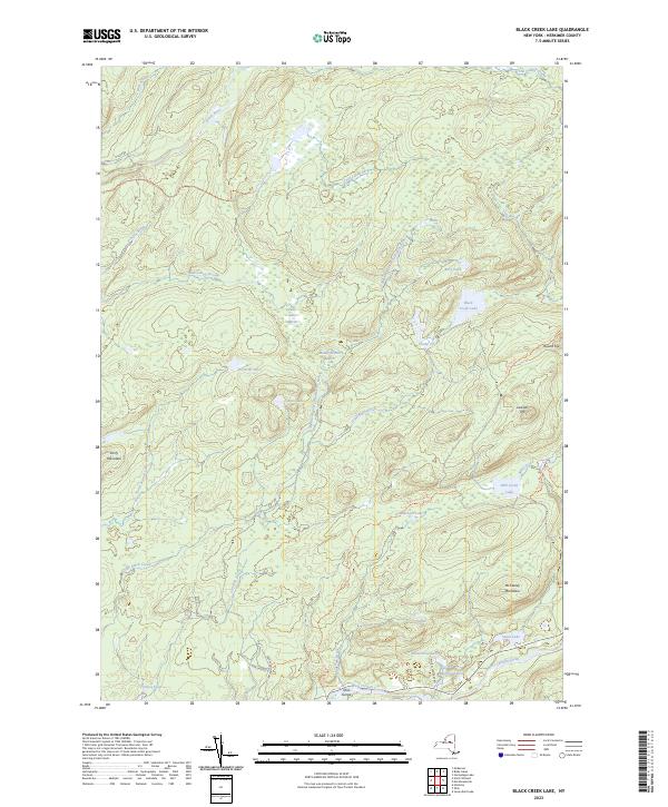
2023 Black Creek Lake
Herkimer County, NY

2023 Herkimer
Herkimer County, NY

2023 Hinckley
Herkimer County, NY

2023 Honnedaga Lake
Herkimer County, NY

2023 Jerseyfield Lake
Herkimer County, NY

2023 Jordanville
Herkimer County, NY

2023 Limekiln Lake
Herkimer County, NY
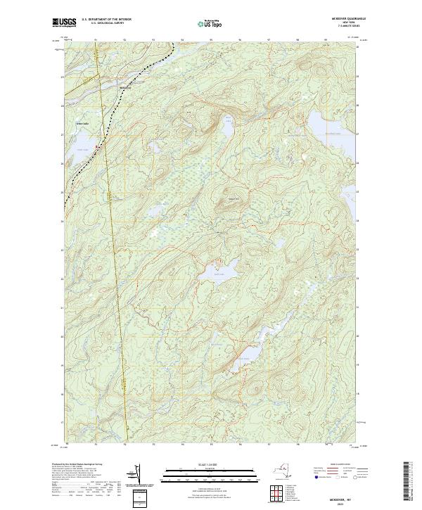
2023 McKeever
Herkimer County, NY

2023 Millers Mills
Herkimer County, NY

2023 Morehouseville
Herkimer County, NY

2023 Newport
Herkimer County, NY

2023 North Wilmurt
Herkimer County, NY

2023 Ohio
Herkimer County, NY
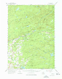
2023 Salisbury
Herkimer County, NY

2023 Stillwater
Herkimer County, NY

2023 Stillwater Mountain
Herkimer County, NY

2023 Utica East
Herkimer County, NY

2023 Van Hornesville
Herkimer County, NY