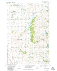
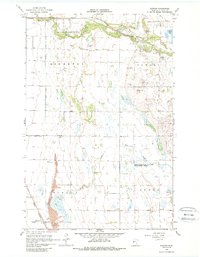
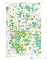
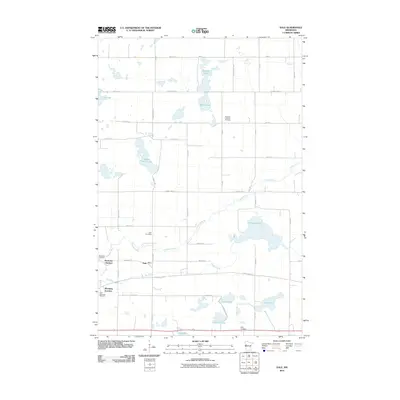
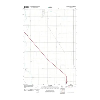
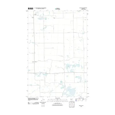
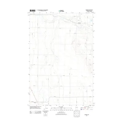
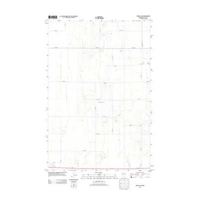
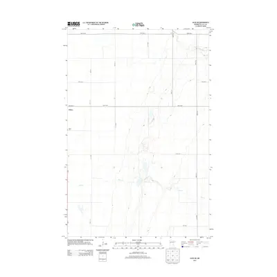
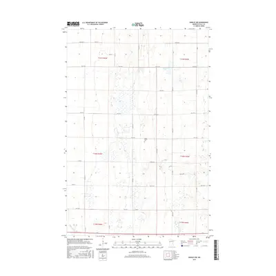
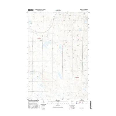
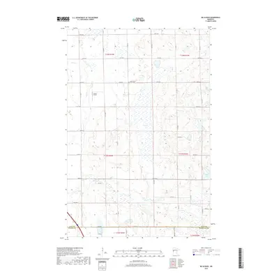
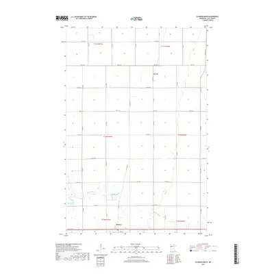
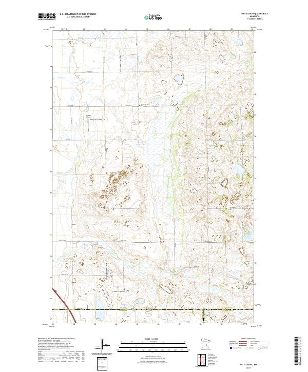
1981 Map of Big Slough
USGS Topo · Published 1982About this map
Barnesville State Wildlife Management Area and the namesake Big Slough dominate this prairie landscape in the early 1980s. Located at the intersection of several townships including Skree, Parke, and Humboldt, the terrain is defined by its conservation focus and water-managed wetlands. The area serves as a significant ecological corridor, evidenced by the numerous designated zones such as the Janssen State Wildlife Management Area and various National Waterfowl Production Areas.
Find a feature on this map
23 named features on this map. Tap any name to fly to it.
Don’t see what you’re looking for? This feature index may not catch every label — zoom into the map to look around manually.
Map Details
Editions of this 1981 Big Slough Map
This is the sole edition of this map. No revisions or reprints were ever made.
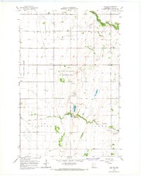
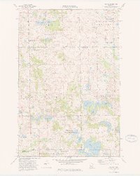
Historical Maps of Clay County Through Time
66 maps found
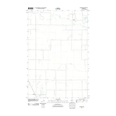
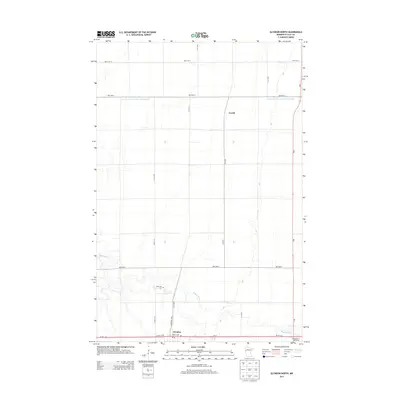
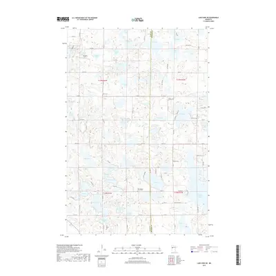
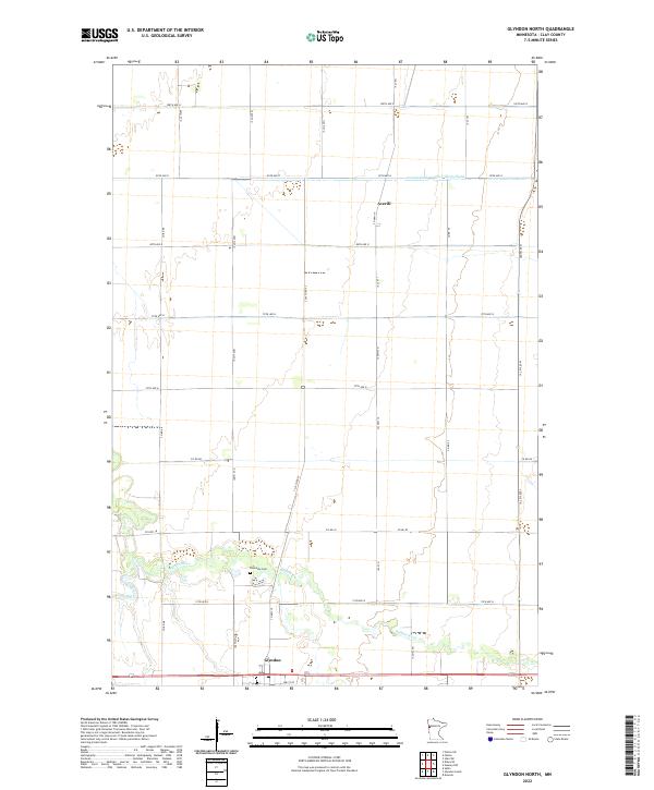
1964 Glyndon North
Clay County, MN
1964 Glyndon South
Clay County, MN
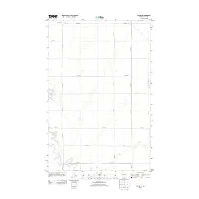
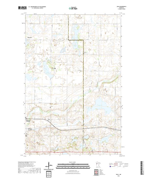
1966 Dale
Clay County, MN
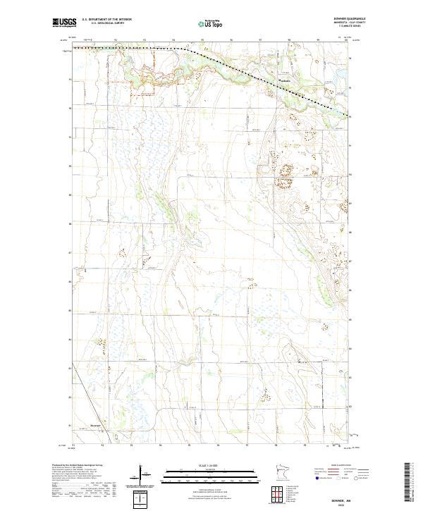
1966 Downer
Clay County, MN
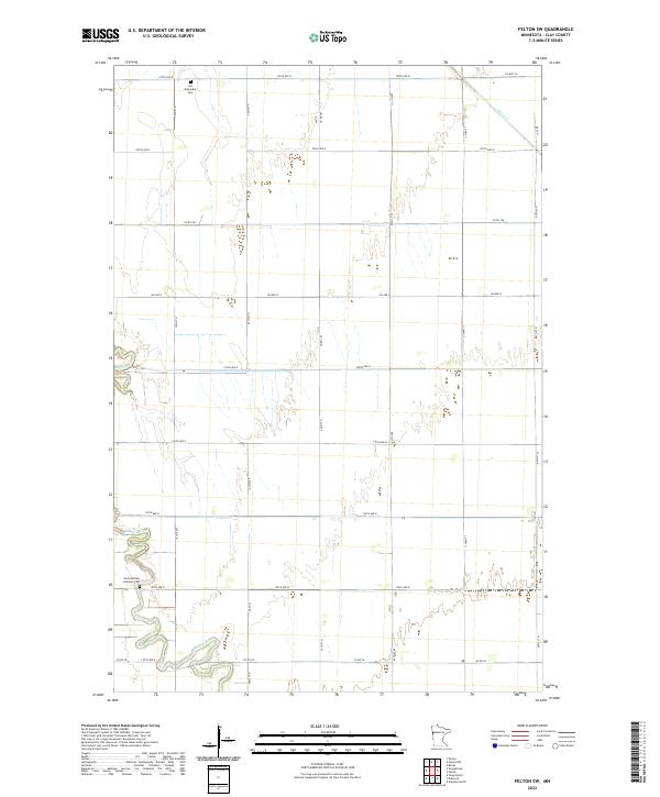
1966 Felton SW
Clay County, MN
1966 Hawley NW
Clay County, MN
1966 Hawley SE
Clay County, MN
1966 Lake Park SW
Clay County, MN
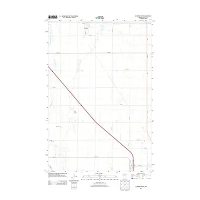
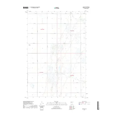
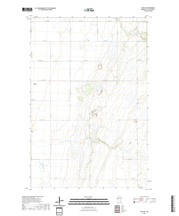
1966 Ulen SW
Clay County, MN
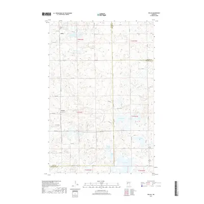
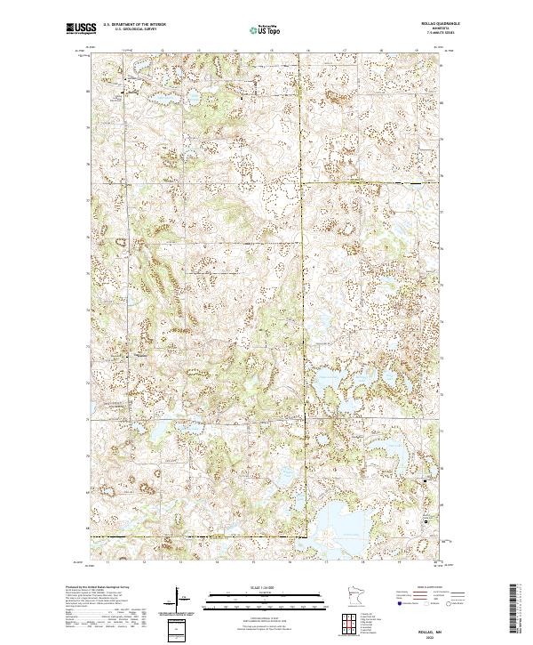
1973 Rollag
Clay County, MN
1981 Big Slough
Clay County, MN
2010 Big Slough
Clay County, MN
2010 Dale
Clay County, MN
2010 Downer
Clay County, MN
2010 Felton SW
Clay County, MN
2010 Glyndon North
Clay County, MN
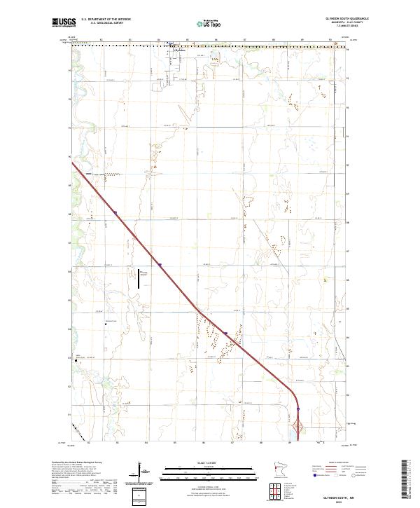
2010 Glyndon South
Clay County, MN
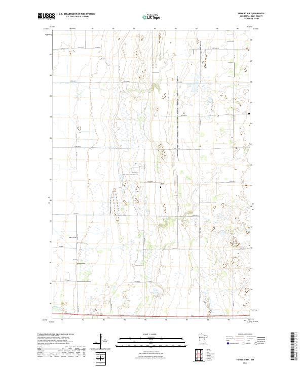
2010 Hawley NW
Clay County, MN
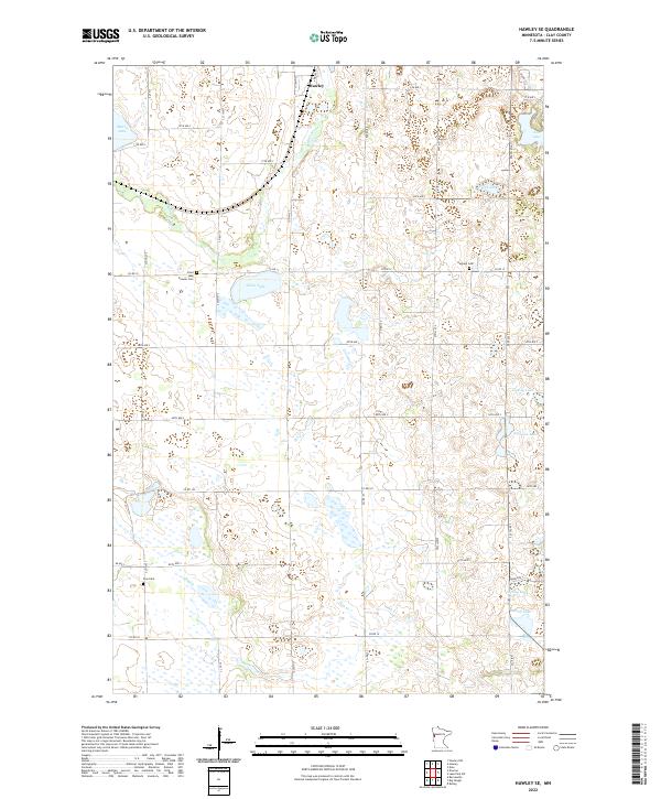
2010 Hawley SE
Clay County, MN
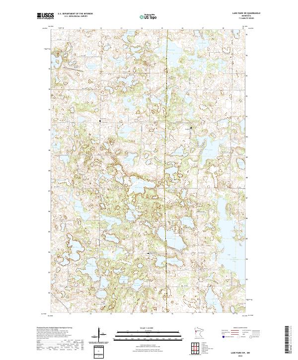
2010 Lake Park SW
Clay County, MN
2010 Rollag
Clay County, MN
2011 Ulen SW
Clay County, MN
2013 Big Slough
Clay County, MN
2013 Dale
Clay County, MN
2013 Downer
Clay County, MN
2013 Felton SW
Clay County, MN
2013 Glyndon North
Clay County, MN
2013 Glyndon South
Clay County, MN
2013 Hawley NW
Clay County, MN
2013 Hawley SE
Clay County, MN
2013 Lake Park SW
Clay County, MN
2013 Rollag
Clay County, MN
2013 Ulen SW
Clay County, MN
2016 Big Slough
Clay County, MN
2016 Dale
Clay County, MN
2016 Downer
Clay County, MN
2016 Felton SW
Clay County, MN
2016 Glyndon North
Clay County, MN
2016 Glyndon South
Clay County, MN
2016 Hawley NW
Clay County, MN
2016 Hawley SE
Clay County, MN
2016 Lake Park SW
Clay County, MN
2016 Rollag
Clay County, MN
2016 Ulen SW
Clay County, MN
2019 Big Slough
Clay County, MN
2019 Dale
Clay County, MN
2019 Downer
Clay County, MN
2019 Felton SW
Clay County, MN
2019 Glyndon North
Clay County, MN
2019 Glyndon South
Clay County, MN
2019 Hawley NW
Clay County, MN
2019 Hawley SE
Clay County, MN
2019 Lake Park SW
Clay County, MN
2019 Rollag
Clay County, MN
2019 Ulen SW
Clay County, MN
2022 Big Slough
Clay County, MN
2022 Dale
Clay County, MN
2022 Downer
Clay County, MN
2022 Felton SW
Clay County, MN
2022 Glyndon North
Clay County, MN
2022 Glyndon South
Clay County, MN
2022 Hawley NW
Clay County, MN
2022 Hawley SE
Clay County, MN
2022 Lake Park SW
Clay County, MN
2022 Rollag
Clay County, MN
2022 Ulen SW
Clay County, MN