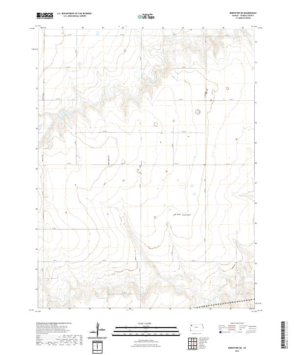
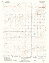
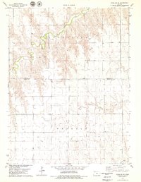
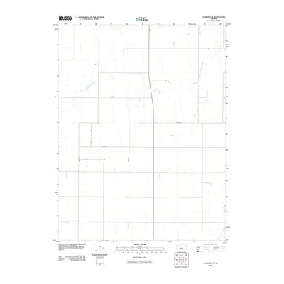
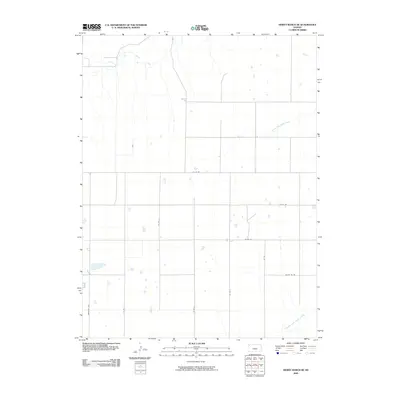
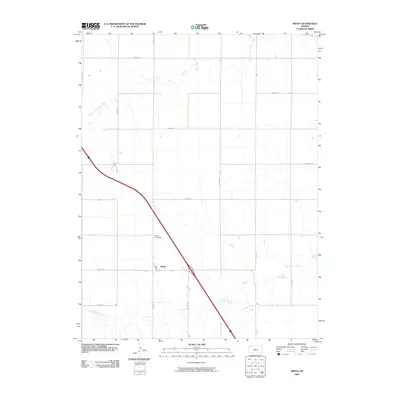
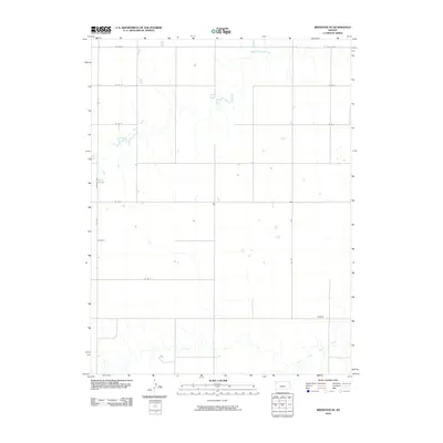
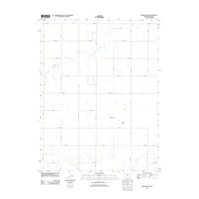
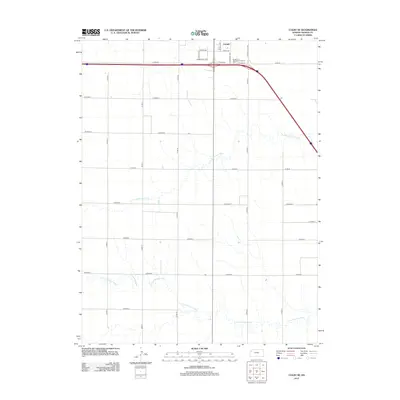
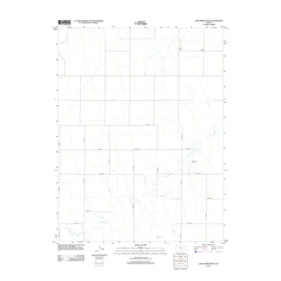
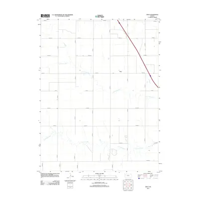
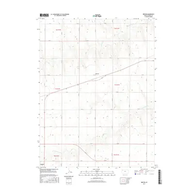
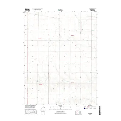
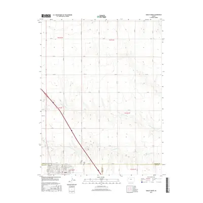
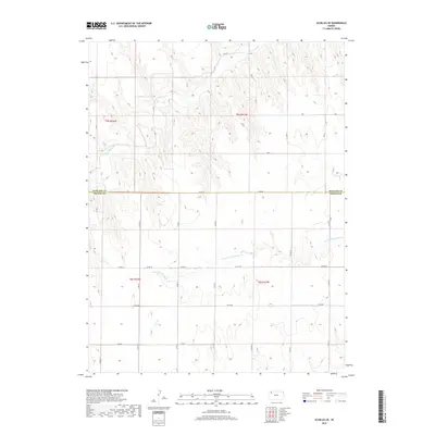
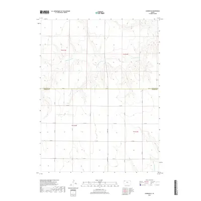
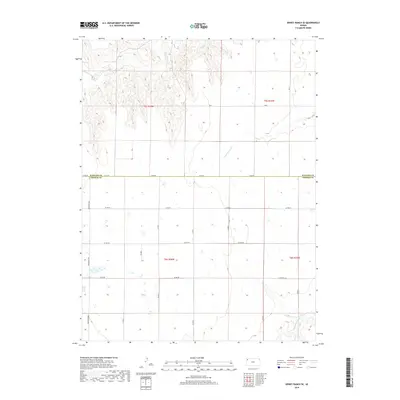
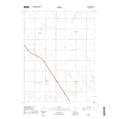
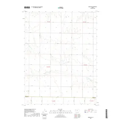
2022 Map of Brewster NE
USGS Topo · Published 2022About this map
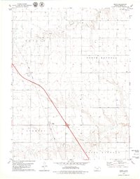
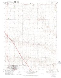
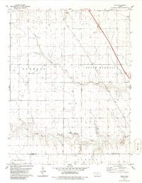
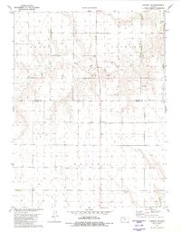
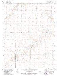
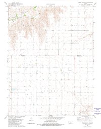
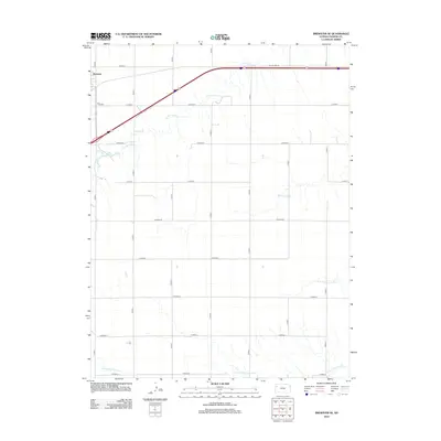
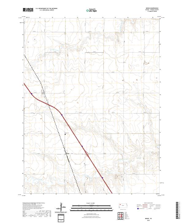
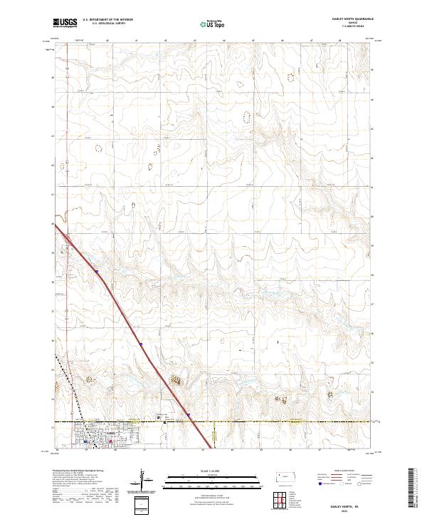
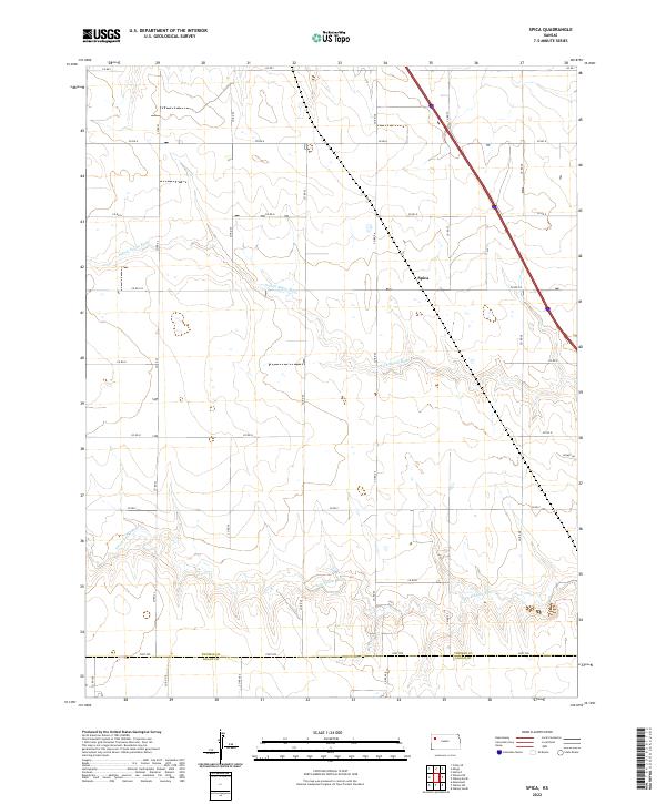
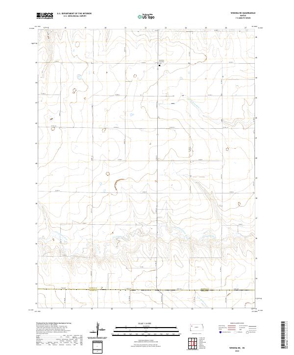
High Plains Great Plains terrain characterizes this high-altitude corner of Thomas County, where the topography is defined by the ephemeral drainages of the Sappa Creek system. The Middle Fork Sappa Creek (also labeled as Middle Fork Sappa Cr) meanders through the northern sections of the map, carving shallow valleys into the upland plateau. To the south, the S Fork Sappa Cr begins its eastward trek across the plains. This landscape reflects the systematic grid-based development of Western Kansas, where a network of county roads like the north-south Brewster Hwy and various numbered routes such as Co RD Z and Co RD R segment the land into precise townships and ranges. The map reveals the sparsely populated, agricultural character of the region, emphasizing the importance of water management and road access in a landscape governed by the vast stretches of the High Plains.
Find a feature on this map
19 named features on this map. Tap any name to fly to it.
Don’t see what you’re looking for? This feature index may not catch every label — zoom into the map to look around manually.
Map Details
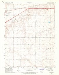
Editions of this 2022 Brewster NE Map
This is the sole edition of this map. No revisions or reprints were ever made.
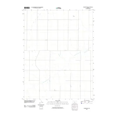
Historical Maps of Thomas County Through Time
102 maps found
1966 Brewster SE
Thomas County, KS
1967 Brewster NE
Thomas County, KS
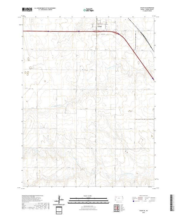
1967 Colby SE
Thomas County, KS
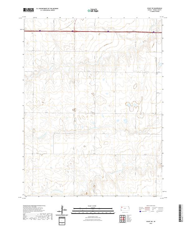
1967 Colby SW
Thomas County, KS
1969 Mc Allaster NE
Thomas County, KS
1972 Winona NE
Thomas County, KS
1972 Winona NW
Thomas County, KS
1978 Achilles SE
Thomas County, KS
1978 Long Draw South
Thomas County, KS
1979 Breton
Thomas County, KS
1979 Halford
Thomas County, KS
1979 Mingo
Thomas County, KS
1979 Oakley North
Thomas County, KS
1979 Spica
Thomas County, KS
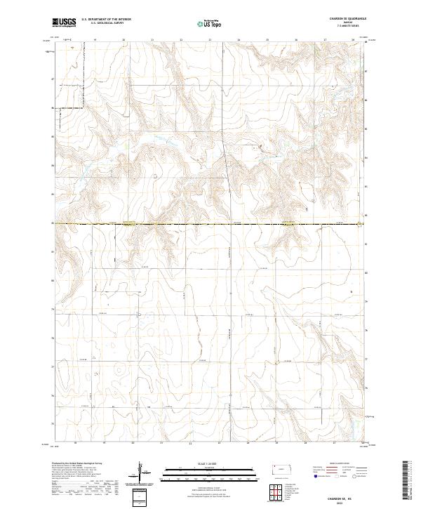
1981 Chardon SE
Thomas County, KS
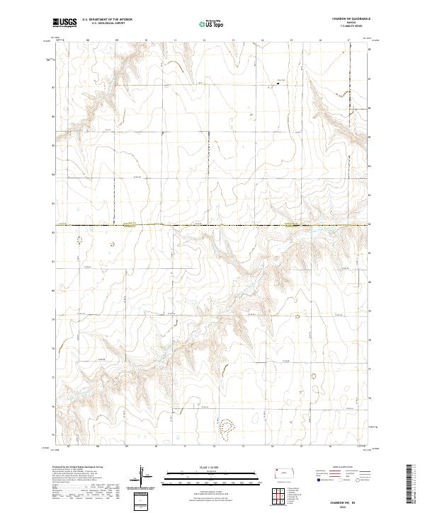
1981 Chardon SW
Thomas County, KS
1981 Dewey Ranch SE
Thomas County, KS
2009 Achilles SE
Thomas County, KS

2009 Breton
Thomas County, KS
2009 Brewster SE
Thomas County, KS
2009 Chardon SE
Thomas County, KS
2009 Chardon SW
Thomas County, KS
2009 Colby SE
Thomas County, KS
2009 Colby SW
Thomas County, KS
2009 Dewey Ranch SE
Thomas County, KS
2009 Halford
Thomas County, KS
2009 Long Draw South
Thomas County, KS
2009 McAllaster NE
Thomas County, KS
2009 Mingo
Thomas County, KS
2009 Oakley North
Thomas County, KS
2009 Winona NE
Thomas County, KS
2009 Winona NW
Thomas County, KS
2010 Brewster NE
Thomas County, KS
2010 Spica
Thomas County, KS
2012 Achilles SE
Thomas County, KS
2012 Breton
Thomas County, KS
2012 Brewster NE
Thomas County, KS
2012 Brewster SE
Thomas County, KS
2012 Chardon SE
Thomas County, KS
2012 Chardon SW
Thomas County, KS
2012 Colby SE
Thomas County, KS
2012 Colby SW
Thomas County, KS
2012 Dewey Ranch SE
Thomas County, KS
2012 Halford
Thomas County, KS
2012 Long Draw South
Thomas County, KS
2012 McAllaster NE
Thomas County, KS
2012 Mingo
Thomas County, KS
2012 Oakley North
Thomas County, KS
2012 Spica
Thomas County, KS
2012 Winona NE
Thomas County, KS
2012 Winona NW
Thomas County, KS
2015 Achilles SE
Thomas County, KS
2015 Breton
Thomas County, KS
2015 Brewster NE
Thomas County, KS
2015 Brewster SE
Thomas County, KS
2015 Chardon SE
Thomas County, KS
2015 Chardon SW
Thomas County, KS
2015 Colby SE
Thomas County, KS
2015 Colby SW
Thomas County, KS
2015 Dewey Ranch SE
Thomas County, KS
2015 Halford
Thomas County, KS
2015 Long Draw South
Thomas County, KS
2015 McAllaster NE
Thomas County, KS
2015 Mingo
Thomas County, KS
2015 Oakley North
Thomas County, KS
2015 Spica
Thomas County, KS
2015 Winona NE
Thomas County, KS
2015 Winona NW
Thomas County, KS
2018 Achilles SE
Thomas County, KS
2018 Breton
Thomas County, KS
2018 Brewster NE
Thomas County, KS
2018 Brewster SE
Thomas County, KS
2018 Chardon SE
Thomas County, KS
2018 Chardon SW
Thomas County, KS
2018 Colby SE
Thomas County, KS
2018 Colby SW
Thomas County, KS
2018 Dewey Ranch SE
Thomas County, KS
2018 Halford
Thomas County, KS
2018 Long Draw South
Thomas County, KS
2018 McAllaster NE
Thomas County, KS
2018 Mingo
Thomas County, KS
2018 Oakley North
Thomas County, KS
2018 Spica
Thomas County, KS
2018 Winona NE
Thomas County, KS
2018 Winona NW
Thomas County, KS
2022 Achilles SE
Thomas County, KS
2022 Breton
Thomas County, KS
2022 Brewster NE
Thomas County, KS
2022 Brewster SE
Thomas County, KS
2022 Chardon SE
Thomas County, KS
2022 Chardon SW
Thomas County, KS
2022 Colby SE
Thomas County, KS
2022 Colby SW
Thomas County, KS
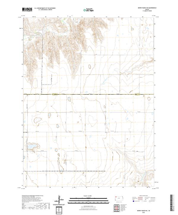
2022 Dewey Ranch SE
Thomas County, KS
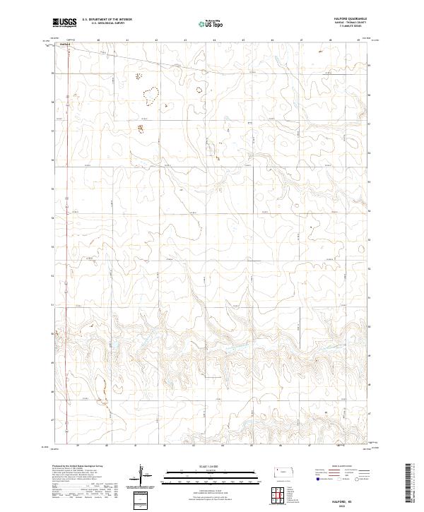
2022 Halford
Thomas County, KS
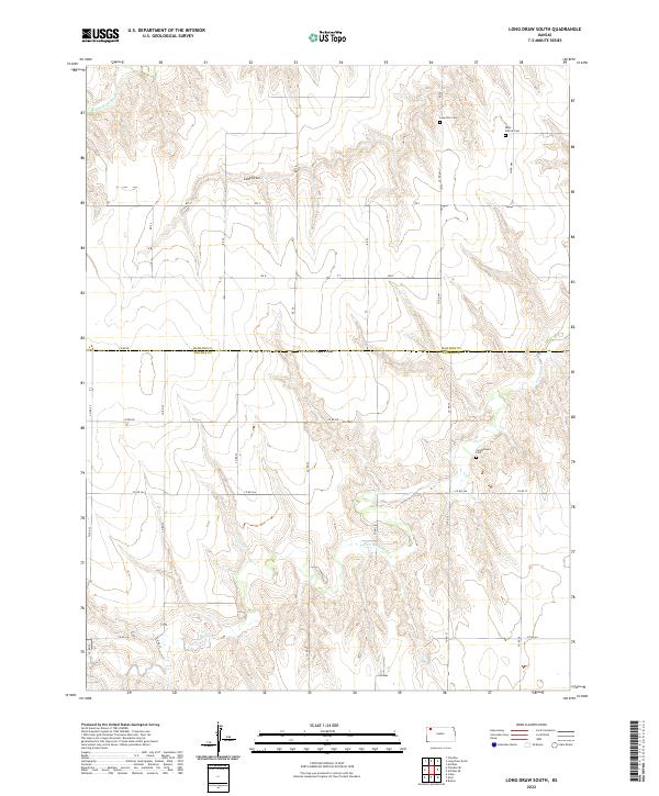
2022 Long Draw South
Thomas County, KS
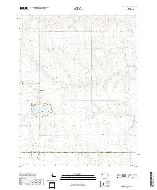
2022 McAllaster NE
Thomas County, KS
2022 Mingo
Thomas County, KS
2022 Oakley North
Thomas County, KS
2022 Spica
Thomas County, KS
2022 Winona NE
Thomas County, KS
2022 Winona NW
Thomas County, KS