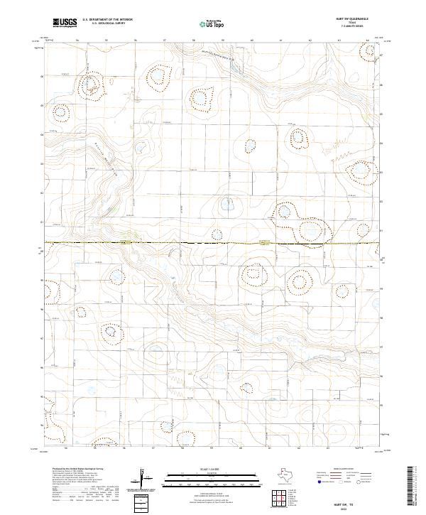
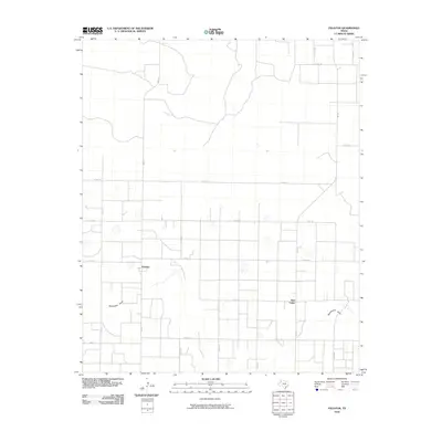
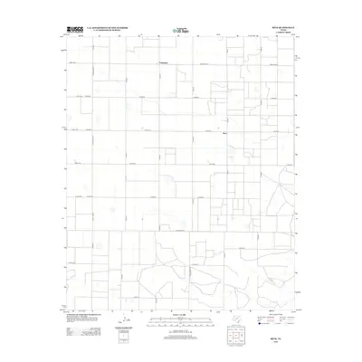
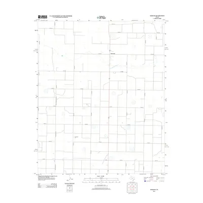
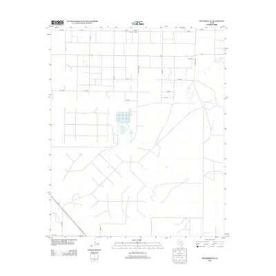
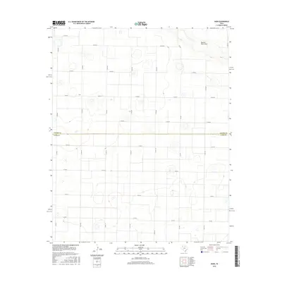
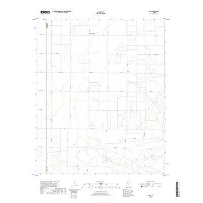
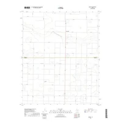
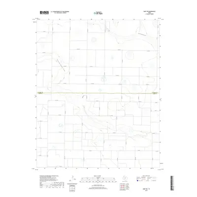
2022 Map of Hart SW
USGS Topo · Published 2022About this map
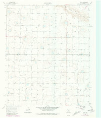
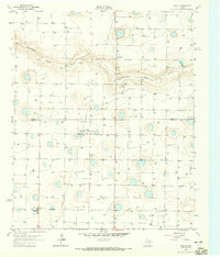
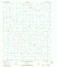
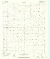
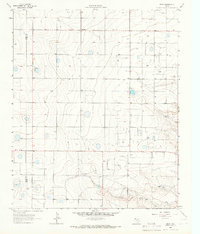
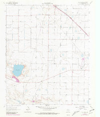
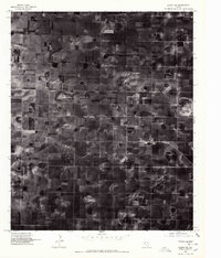
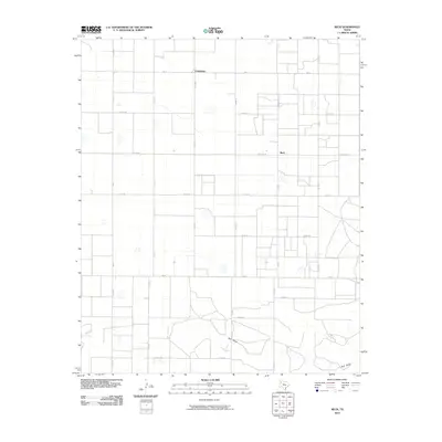
The High Plains of the Texas Panhandle define this 2022 survey, specifically where Castro Co meets Lamb Co. The landscape is dominated by a grid of agricultural section lines and the subtle depressions of ephemeral watercourses. The drainage of North Fork Running Water Draw cuts across the northern portion of the sheet, while the main channel of Running Water Draw winds through the central area, creating the only significant breaks in the otherwise flat terrain.
Find a feature on this map
37 named features on this map. Tap any name to fly to it.
Don’t see what you’re looking for? This feature index may not catch every label — zoom into the map to look around manually.
Map Details
Editions of this 2022 Hart SW Map
This is the sole edition of this map. No revisions or reprints were ever made.
Historical Maps of Lamb County Through Time
55 maps found
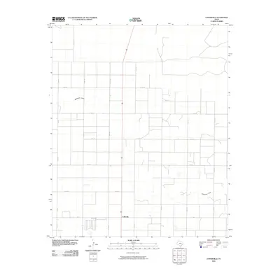
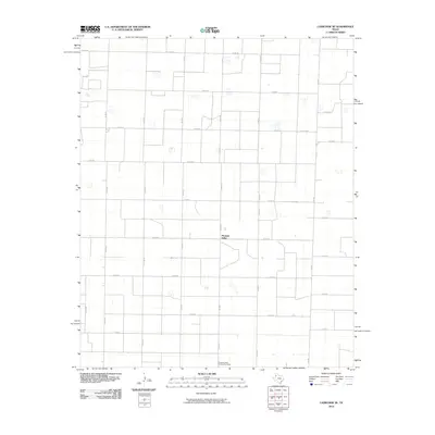
1962 Cofferville
Lamb County, TX
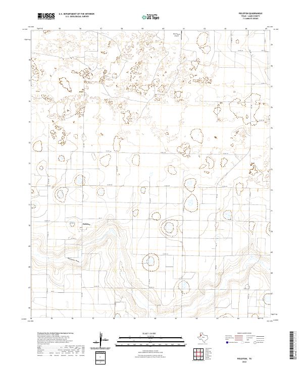
1962 Fieldton
Lamb County, TX
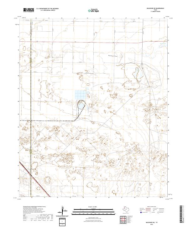
1962 Muleshoe NE
Lamb County, TX
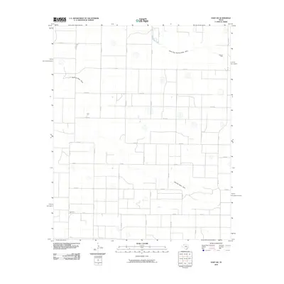
1963 Dodd
Lamb County, TX
1963 Dodd SE
Lamb County, TX
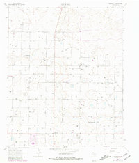
1963 Hart SW
Lamb County, TX
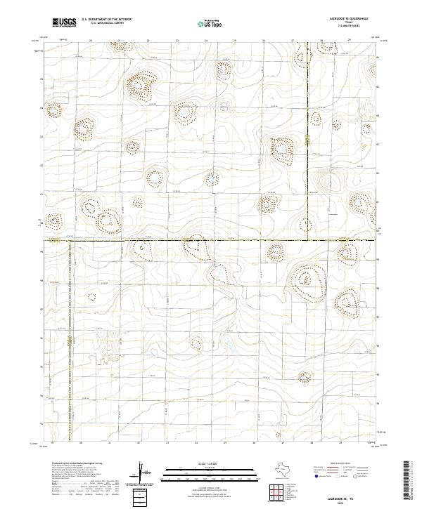
1963 Lazbuddie SE
Lamb County, TX
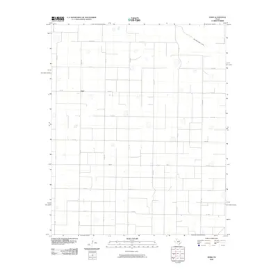
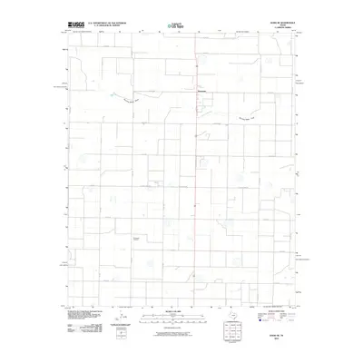
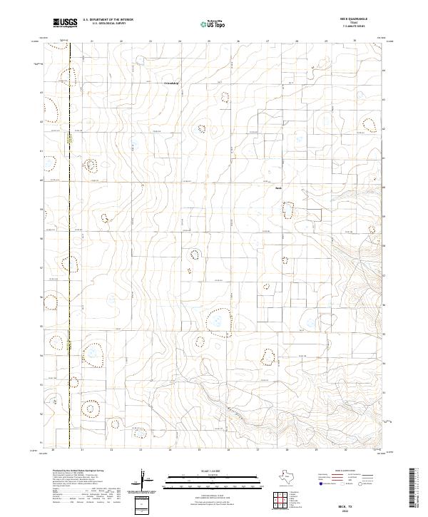
1964 Beck
Lamb County, TX
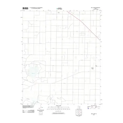
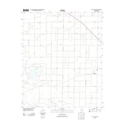
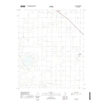
1964 Bull Lake
Lamb County, TX
1976 Anton NW
Lamb County, TX
2010 Beck
Lamb County, TX
2010 Bull Lake
Lamb County, TX
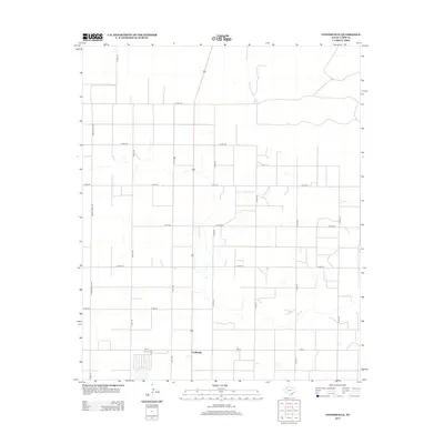
2010 Cofferville
Lamb County, TX
2010 Dodd
Lamb County, TX
2010 Dodd SE
Lamb County, TX
2010 Fieldton
Lamb County, TX
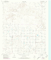
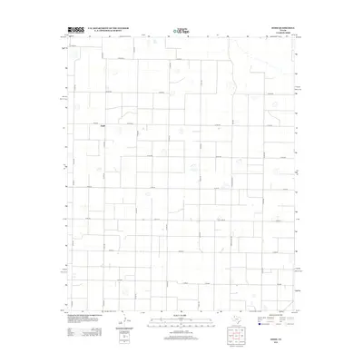
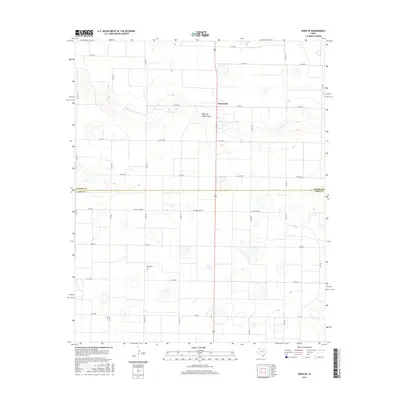
2010 Hart SW
Lamb County, TX
2010 Lazbuddie SE
Lamb County, TX
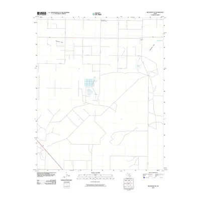
2010 Muleshoe NE
Lamb County, TX
2012 Beck
Lamb County, TX
2012 Bull Lake
Lamb County, TX
2012 Cofferville
Lamb County, TX
2012 Dodd
Lamb County, TX
2012 Dodd SE
Lamb County, TX
2012 Fieldton
Lamb County, TX
2012 Hart SW
Lamb County, TX
2012 Lazbuddie SE
Lamb County, TX
2012 Muleshoe NE
Lamb County, TX
2016 Beck
Lamb County, TX
2016 Bull Lake
Lamb County, TX
2016 Cofferville
Lamb County, TX
2016 Dodd
Lamb County, TX
2016 Dodd SE
Lamb County, TX
2016 Fieldton
Lamb County, TX
2016 Hart SW
Lamb County, TX
2016 Lazbuddie SE
Lamb County, TX
2016 Muleshoe NE
Lamb County, TX
2019 Beck
Lamb County, TX
2019 Bull Lake
Lamb County, TX
2019 Cofferville
Lamb County, TX
2019 Dodd
Lamb County, TX
2019 Dodd SE
Lamb County, TX
2019 Fieldton
Lamb County, TX
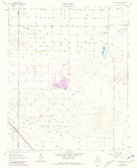
2019 Hart SW
Lamb County, TX
2019 Lazbuddie SE
Lamb County, TX
2019 Muleshoe NE
Lamb County, TX
2022 Beck
Lamb County, TX
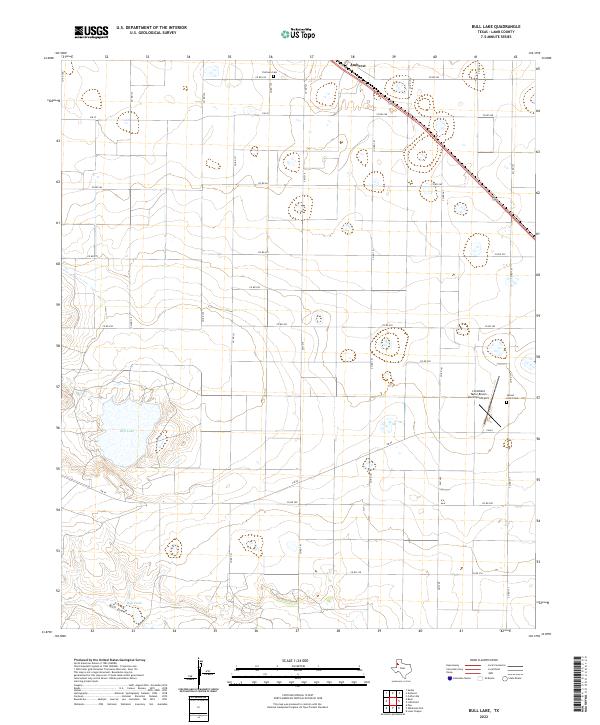
2022 Bull Lake
Lamb County, TX
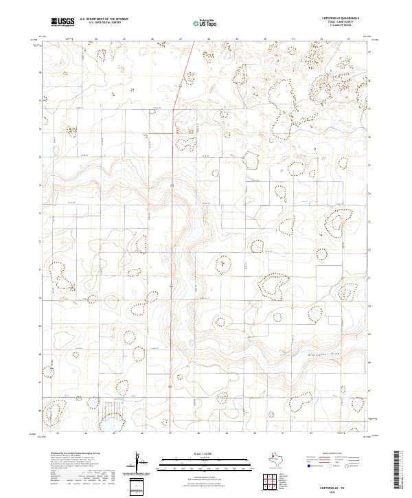
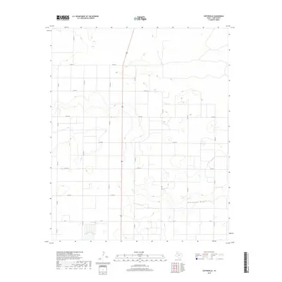
2022 Cofferville
Lamb County, TX
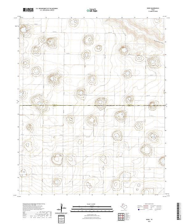
2022 Dodd
Lamb County, TX
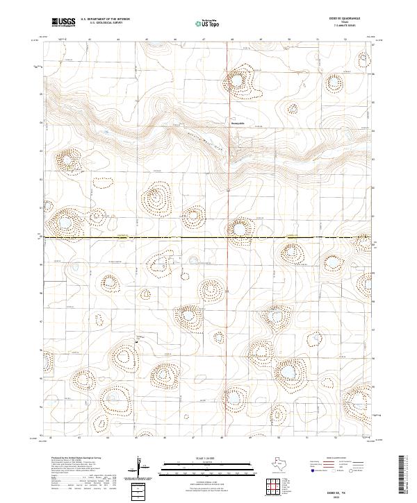
2022 Dodd SE
Lamb County, TX
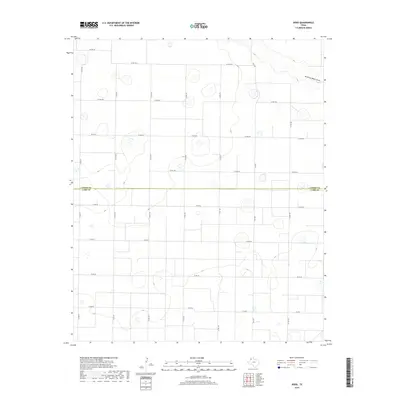
2022 Fieldton
Lamb County, TX
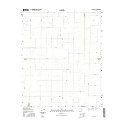
2022 Hart SW
Lamb County, TX
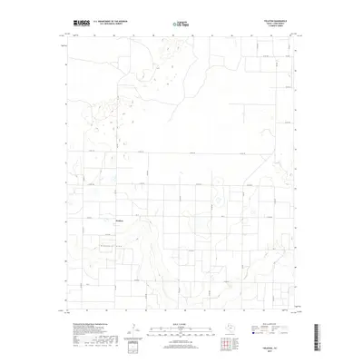
2022 Lazbuddie SE
Lamb County, TX
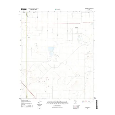
2022 Muleshoe NE
Lamb County, TX