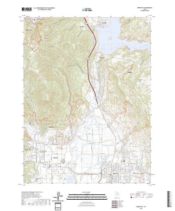
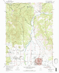
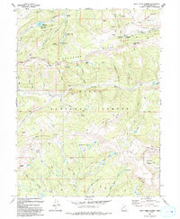
2023 Map of Heber City
USGS Topo · Published 2023About this map
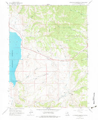
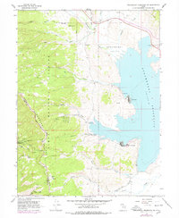
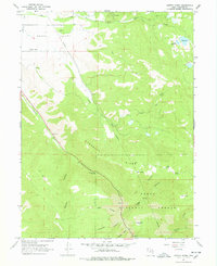
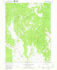
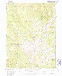
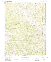
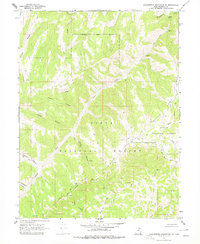
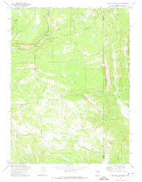
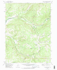
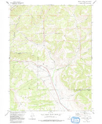
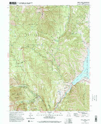
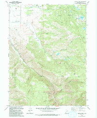
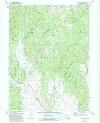
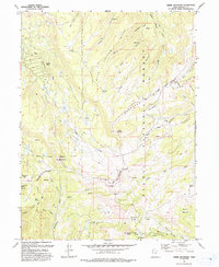
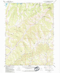
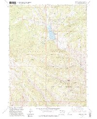
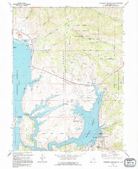
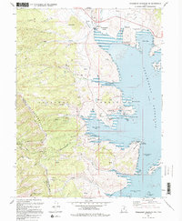
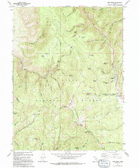
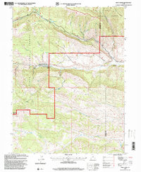
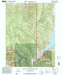
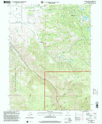
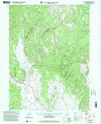
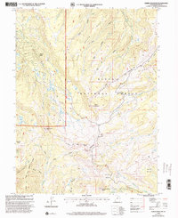
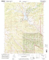
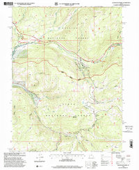
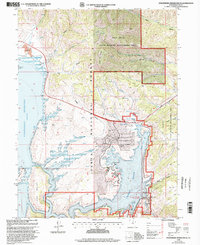
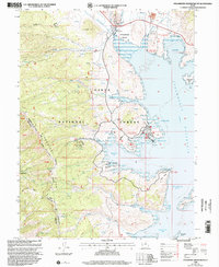
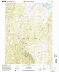
Heber Valley serves as a central hub for this portion of the Wasatch Range, where the industrial and agricultural water systems of the Provo River meet modern recreation and suburban expansion. The massive Jordanelle Reservoir dominates the northern landscape, its perimeter marked by the Jordanelle Perimeter Trl and the submerged historical sites near Hailstone. In the southwest, the distinctive Homestead Crater Mineral Dome sits near Midway, highlighting the unique geothermal activity of the region. Detailed surveying of the valley floor reveals a complex network of irrigation, including the Sagebrush and Spring Creek Canal and the Wasatch Canal, which historically supported the settlements of Heber City and Mound City. Genealogists will find particular value in the several documented burial sites, such as the Heber City Cem and the isolated William Walter Wilson Burial Site near Phosphate Hill.
Find a feature on this map
107 named features on this map. Tap any name to fly to it.
Don’t see what you’re looking for? This feature index may not catch every label — zoom into the map to look around manually.
Map Details
Editions of this 2023 Heber City Map
This is the sole edition of this map. No revisions or reprints were ever made.
Historical Maps of Interlaken Through Time
73 maps found
1907 Strawberry Valley
Wasatch County, UT
1909 Strawberry Valley
Wasatch County, UT
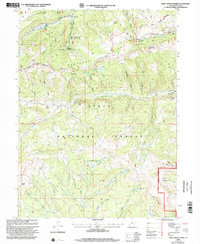
1948 Aspen Grove
Wasatch County, UT

1950 Aspen Grove
Wasatch County, UT
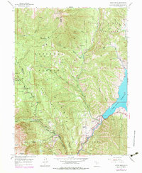
1955 Heber City
Wasatch County, UT
1962 Deep Creek Canyon
Wasatch County, UT
1962 Raspberry Knoll
Wasatch County, UT
1962 Strawberry Peak
Wasatch County, UT
1962 Wolf Creek
Wasatch County, UT
1966 Strawberry Reservoir NE
Wasatch County, UT
1966 Strawberry Reservoir NW
Wasatch County, UT
1966 Strawberry Reservoir SW
Wasatch County, UT
1967 Center Creek
Wasatch County, UT
1967 Co-Op Creek
Wasatch County, UT
1967 Heber Mountain
Wasatch County, UT
1967 Jimmies Point
Wasatch County, UT
1967 Strawberry Reservoir SE
Wasatch County, UT
1967 Twin Peaks
Wasatch County, UT
1967 Wolf Creek Summit
Wasatch County, UT
1969 Flat Ridge
Wasatch County, UT
1972 Iron Mine Mountain
Wasatch County, UT
1972 Soapstone Basin
Wasatch County, UT
1978 Soldier Summit
Wasatch County, UT
1993 Aspen Grove
Wasatch County, UT
1993 Center Creek
Wasatch County, UT
1993 Co-Op Creek
Wasatch County, UT
1993 Heber Mountain
Wasatch County, UT
1993 Strawberry Reservoir SE
Wasatch County, UT
1993 Wolf Creek Summit
Wasatch County, UT
1994 Jimmies Point
Wasatch County, UT
1994 Strawberry Reservoir NE
Wasatch County, UT
1994 Strawberry Reservoir NW
Wasatch County, UT

1994 Strawberry Reservoir SW
Wasatch County, UT
1994 Twin Peaks
Wasatch County, UT
1996 Flat Ridge
Wasatch County, UT
1996 Iron Mine Mountain
Wasatch County, UT

1996 Strawberry Peak
Wasatch County, UT
1996 Strawberry Reservoir SE
Wasatch County, UT
1996 Wolf Creek
Wasatch County, UT
1998 Aspen Grove
Wasatch County, UT
1998 Center Creek
Wasatch County, UT
1998 Co-Op Creek
Wasatch County, UT
1998 Heber Mountain
Wasatch County, UT
1998 Jimmies Point
Wasatch County, UT
1998 Raspberry Knoll
Wasatch County, UT
1998 Soapstone Basin
Wasatch County, UT

1998 Soldier Summit
Wasatch County, UT
1998 Strawberry Reservoir NE
Wasatch County, UT
1998 Strawberry Reservoir NW
Wasatch County, UT
1998 Strawberry Reservoir SW
Wasatch County, UT
1998 Twin Peaks
Wasatch County, UT
1998 Wolf Creek Summit
Wasatch County, UT
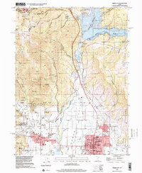
1999 Heber City
Wasatch County, UT
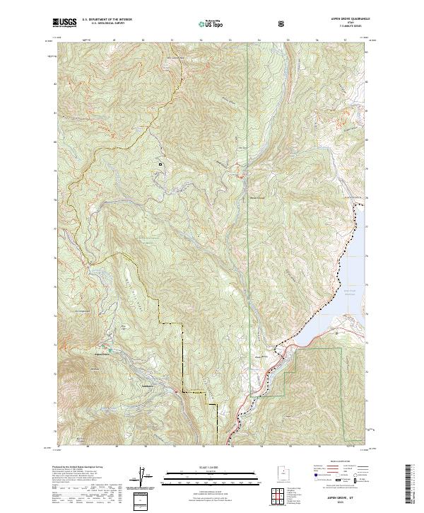
2023 Aspen Grove
Wasatch County, UT
2023 Center Creek
Wasatch County, UT
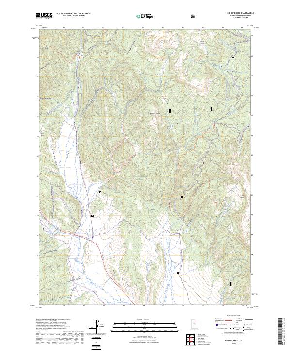
2023 Co-op Creek
Wasatch County, UT
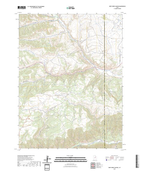
2023 Deep Creek Canyon
Wasatch County, UT
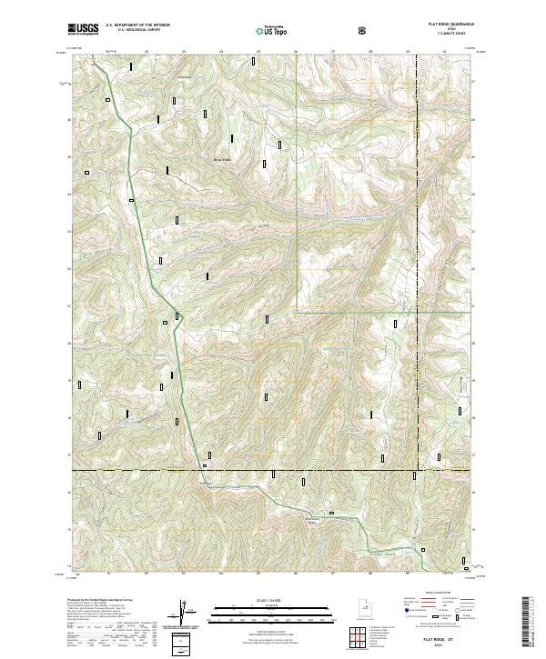
2023 Flat Ridge
Wasatch County, UT
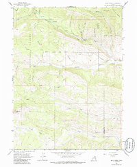
2023 Heber City
Wasatch County, UT
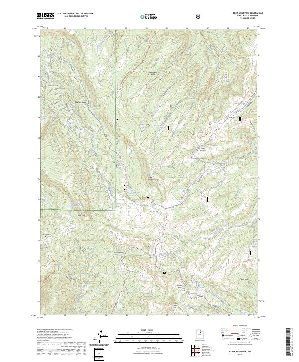
2023 Heber Mountain
Wasatch County, UT
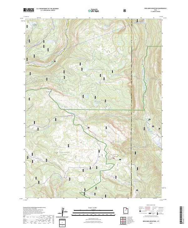
2023 Iron Mine Mountain
Wasatch County, UT
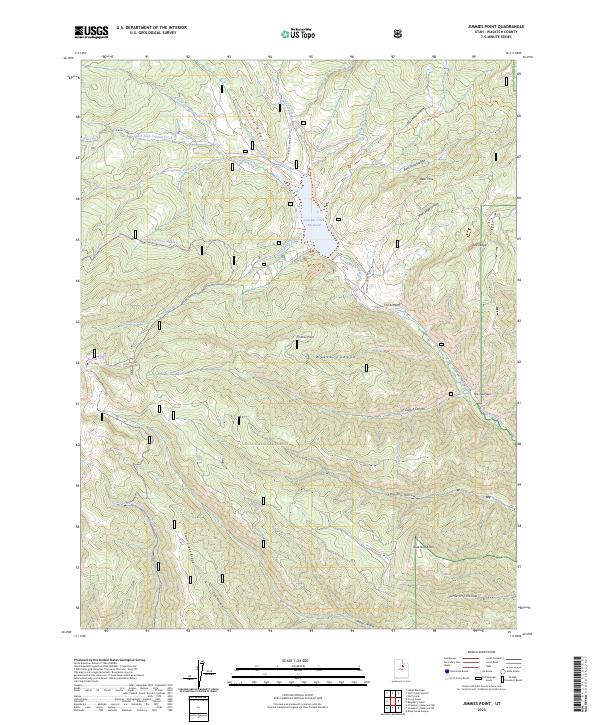
2023 Jimmies Point
Wasatch County, UT
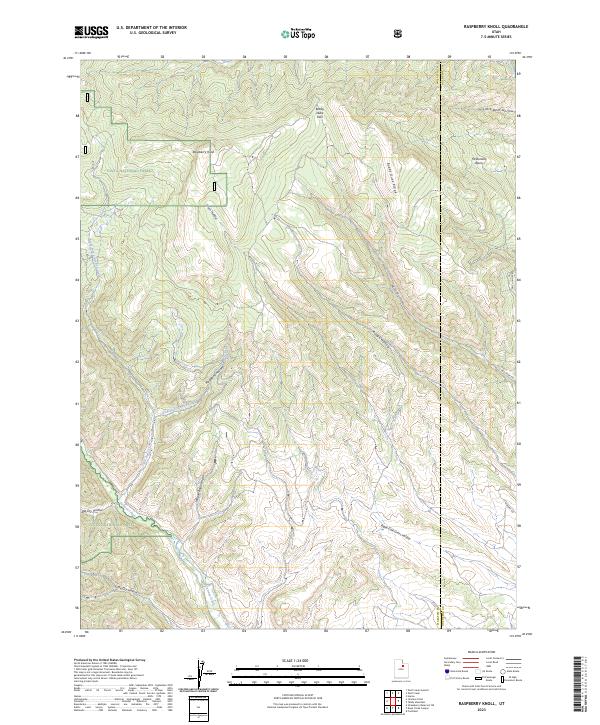
2023 Raspberry Knoll
Wasatch County, UT
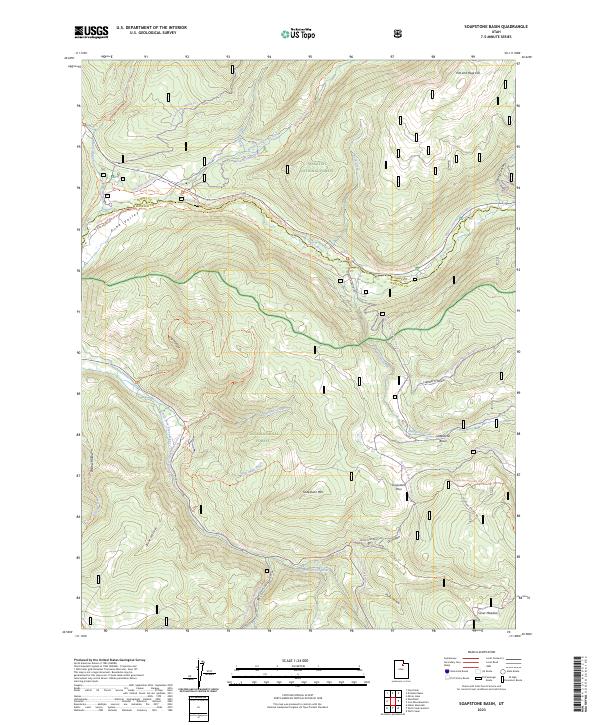
2023 Soapstone Basin
Wasatch County, UT
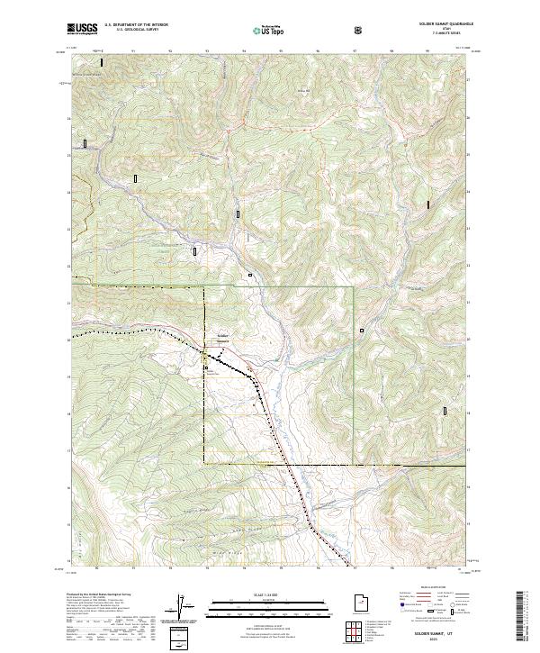
2023 Soldier Summit
Wasatch County, UT

2023 Strawberry Peak
Wasatch County, UT
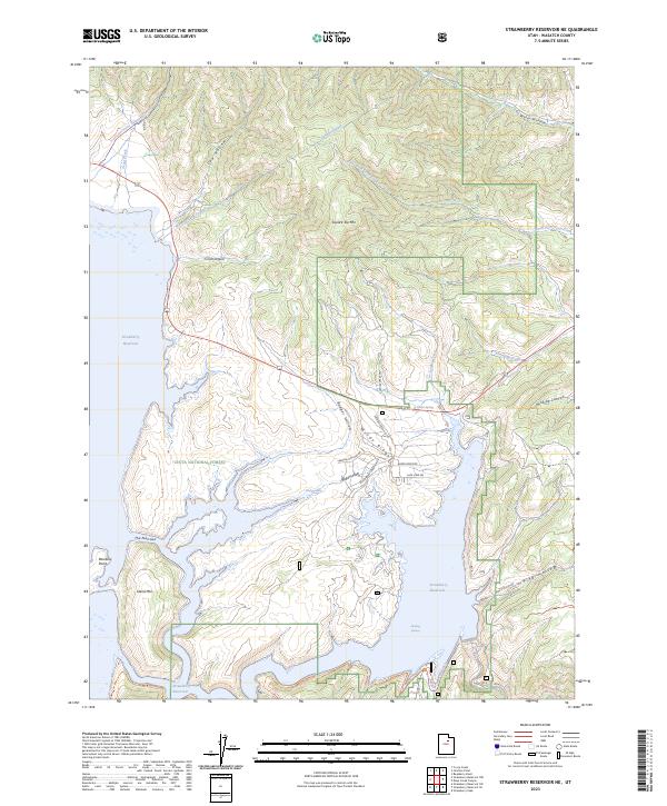
2023 Strawberry Reservoir NE
Wasatch County, UT
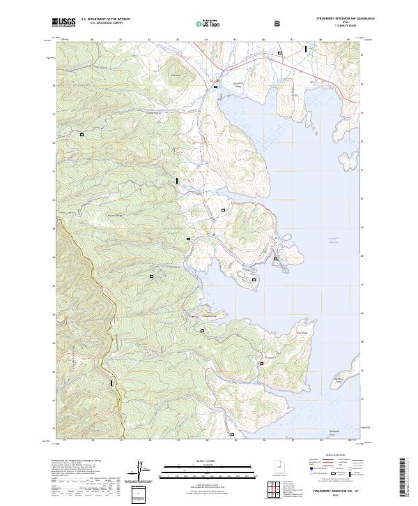
2023 Strawberry Reservoir NW
Wasatch County, UT
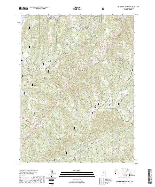
2023 Strawberry Reservoir SE
Wasatch County, UT
2023 Strawberry Reservoir SW
Wasatch County, UT

2023 Twin Peaks
Wasatch County, UT
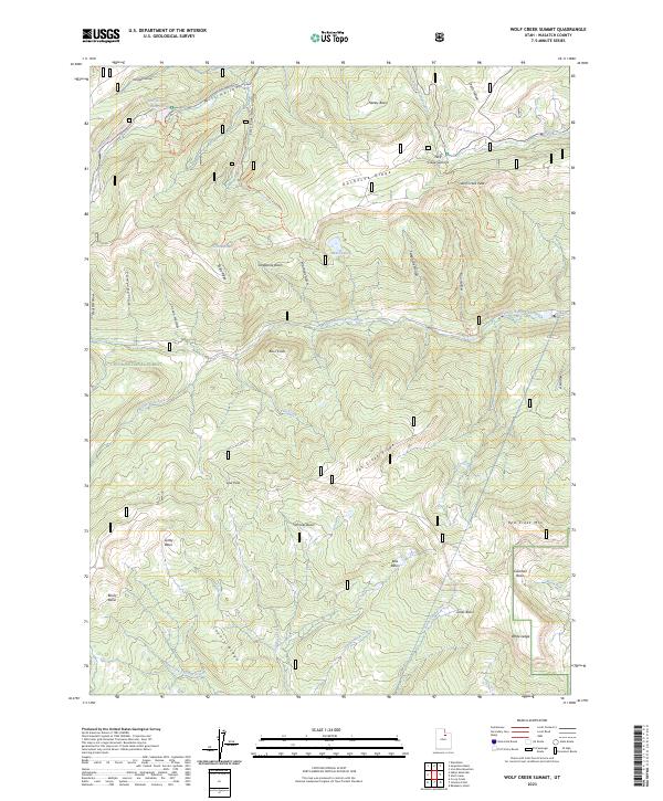
2023 Wolf Creek Summit
Wasatch County, UT
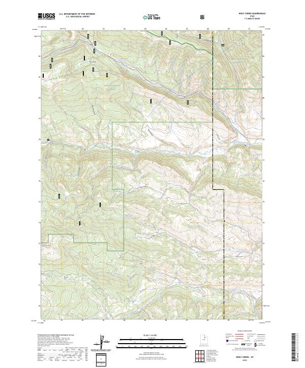
2023 Wolf Creek
Wasatch County, UT