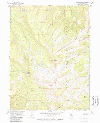
1967 Map of Heber Mountain
USGS Topo · Published 1987About this map
High elevations in the Uinta National Forest dominate this 1960s survey, marking a significant hydrological divide where the headwaters of the Duchesne River, Strawberry River, and Little South Fork Provo River emerge. The landscape is defined by the massive presence of Heber Mountain and Currant Creek Peak, with the historic Old Duchesne Road and a network of jeep trails providing the primary access through the mountainous terrain.
Find a feature on this map
47 named features on this map. Tap any name to fly to it.
Don’t see what you’re looking for? This feature index may not catch every label — zoom into the map to look around manually.
Map Details
Editions of this 1967 Heber Mountain Map
2 editions found
Other maps of this area

1885 · Salt Lake
USGS Topo · 1:250,000

1900 · Coalville
USGS Topo · 1:125,000

1903 · Coalville
USGS Topo · 1:125,000

1907 · Strawberry Valley
USGS Topo · 1:125,000

1909 · Strawberry Valley
USGS Topo · 1:125,000

1954 · Salt Lake City
USGS Topo · 1:250,000

1958 · Salt Lake City
USGS Topo · 1:250,000

1960 · Salt Lake City
USGS Topo · 1:250,000

1967 · Francis
USGS Topo · 1:24,000
1967 · Center Creek
USGS Topo · 1:24,000