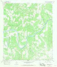
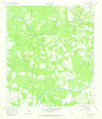
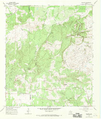
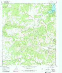
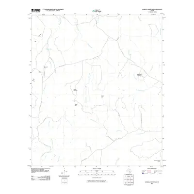
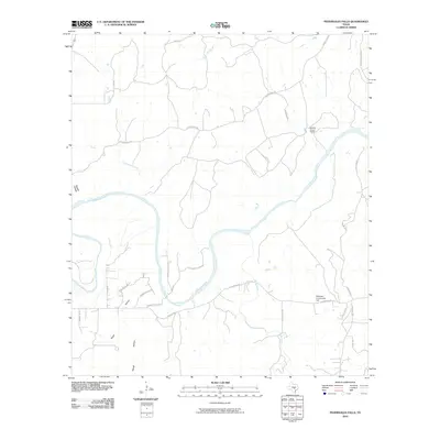
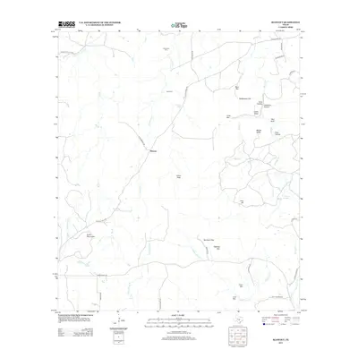
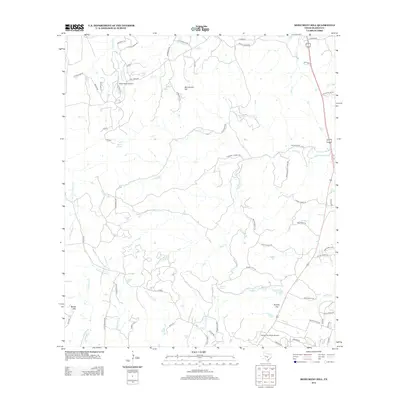
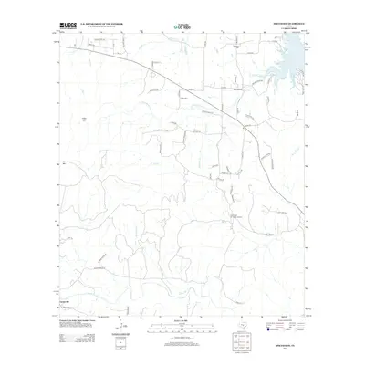
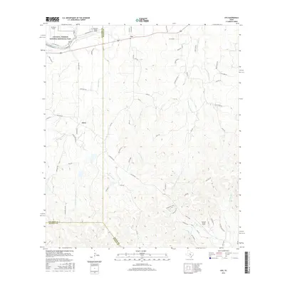
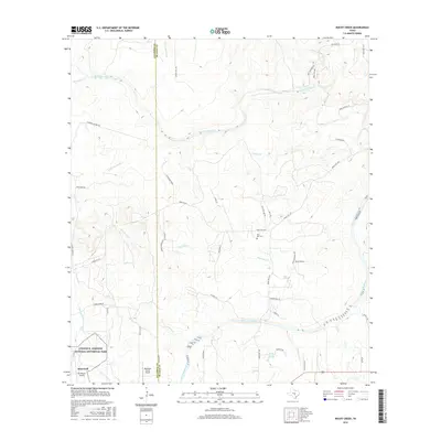
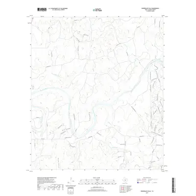
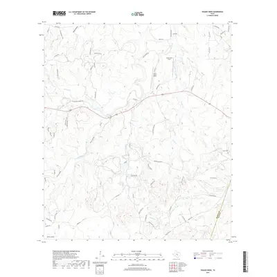
1967 Map of Pedernales Falls
USGS Topo · Published 1969About this map
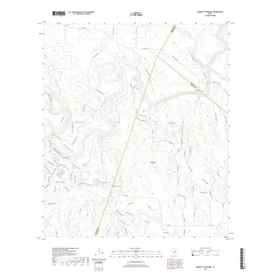
The Pedernales River carves a deep, winding path through this portion of Blanco County, characterized by the dramatic Falls at the northeastern bend. In the late 1960s, the landscape was defined by large ranching operations and isolated rural community hubs. Small private aviation facilities like the Hill Ranch Landing Strip and Baird Ranch Airfield suggest the necessity of air travel for these expansive Texas Hill Country properties. Social life in the area centered on the Robinson Community Hall, while industry was largely limited to scattered Gravel Pits and major pipelines cutting across the terrain. Tributaries such as Cottonwood Creek and Millers Creek drain into the primary river valley, navigating a complex topography of features like Brock Hollow and the level terrain of Russell Flat.
Find a feature on this map
17 named features on this map. Tap any name to fly to it.
Don’t see what you’re looking for? This feature index may not catch every label — zoom into the map to look around manually.
Map Details
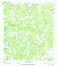
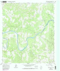
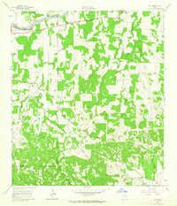
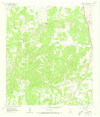
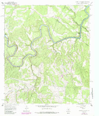
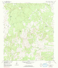
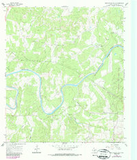
Editions of this 1967 Pedernales Falls Map
4 editions found
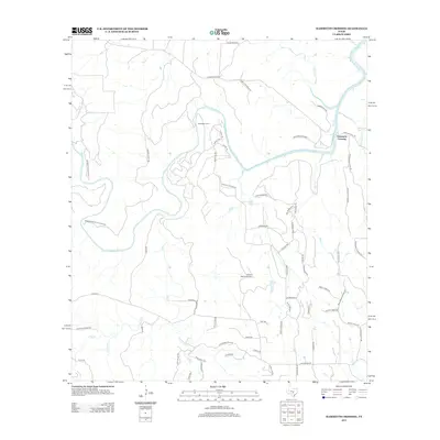
Historical Maps of Blanco County Through Time
61 maps found
1961 Hye
Blanco County, TX
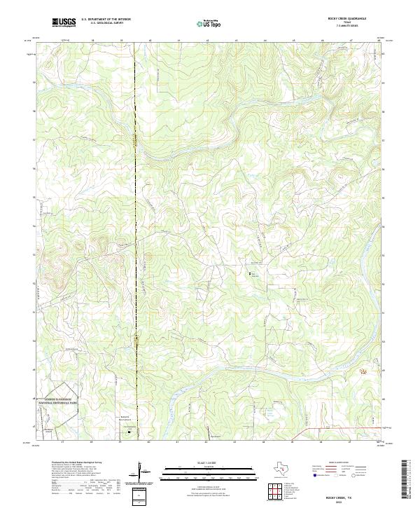
1961 Rocky Creek
Blanco County, TX
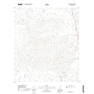
1963 Monument Hill
Blanco County, TX
1963 Payton
Blanco County, TX
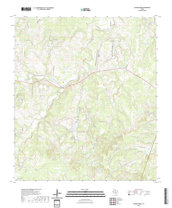
1963 Yeager Creek
Blanco County, TX
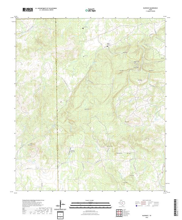
1967 Blowout
Blanco County, TX
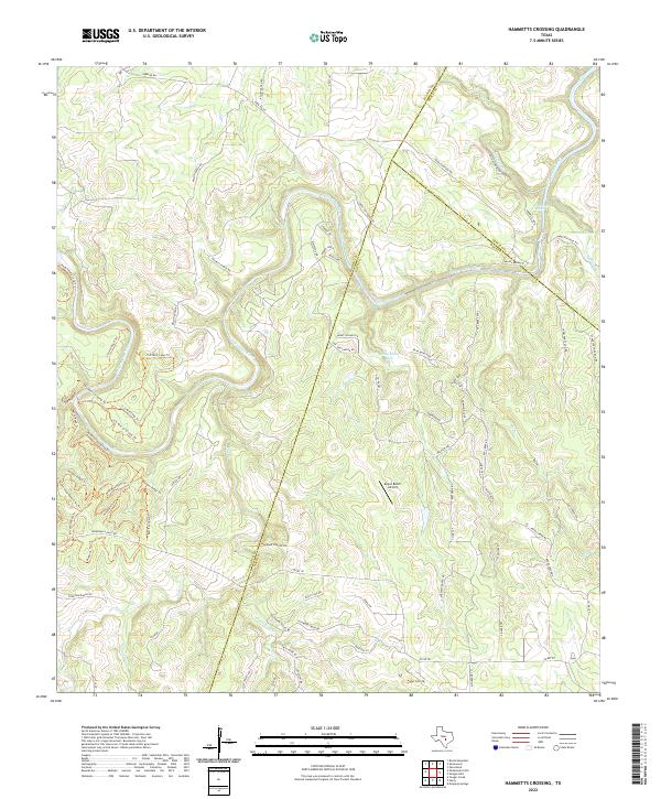
1967 Hammetts Crossing
Blanco County, TX
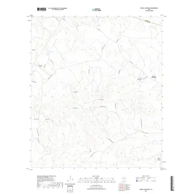
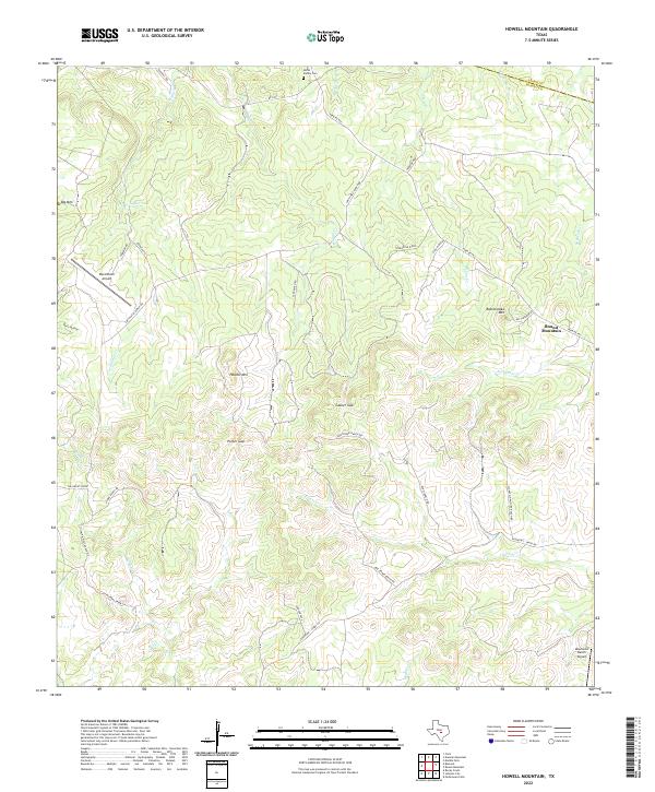
1967 Howell Mountain
Blanco County, TX
1967 Pedernales Falls
Blanco County, TX
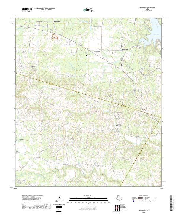
1967 Spicewood
Blanco County, TX
1985 Pedernales River
Blanco County, TX
2010 Blowout
Blanco County, TX
2010 Hammetts Crossing
Blanco County, TX
2010 Howell Mountain
Blanco County, TX
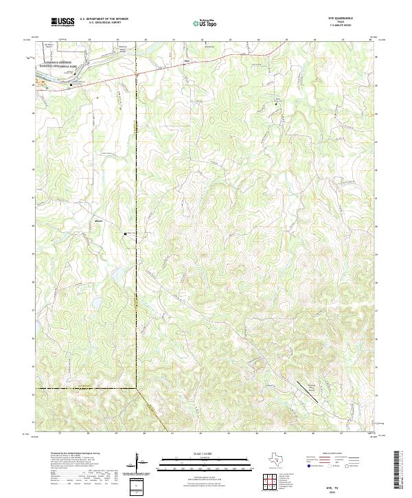
2010 Hye
Blanco County, TX
2010 Monument Hill
Blanco County, TX
2010 Payton
Blanco County, TX
2010 Pedernales Falls
Blanco County, TX
2010 Rocky Creek
Blanco County, TX
2010 Spicewood
Blanco County, TX
2010 Yeager Creek
Blanco County, TX
2012 Blowout
Blanco County, TX
2012 Hammetts Crossing
Blanco County, TX
2012 Howell Mountain
Blanco County, TX
2012 Hye
Blanco County, TX
2012 Monument Hill
Blanco County, TX
2012 Payton
Blanco County, TX
2012 Pedernales Falls
Blanco County, TX
2012 Rocky Creek
Blanco County, TX
2012 Spicewood
Blanco County, TX

2012 Yeager Creek
Blanco County, TX
2016 Blowout
Blanco County, TX
2016 Hammetts Crossing
Blanco County, TX
2016 Howell Mountain
Blanco County, TX
2016 Hye
Blanco County, TX
2016 Monument Hill
Blanco County, TX
2016 Payton
Blanco County, TX
2016 Pedernales Falls
Blanco County, TX
2016 Rocky Creek
Blanco County, TX
2016 Spicewood
Blanco County, TX
2016 Yeager Creek
Blanco County, TX
2019 Blowout
Blanco County, TX
2019 Hammetts Crossing
Blanco County, TX
2019 Howell Mountain
Blanco County, TX
2019 Hye
Blanco County, TX
2019 Monument Hill
Blanco County, TX
2019 Payton
Blanco County, TX
2019 Pedernales Falls
Blanco County, TX
2019 Rocky Creek
Blanco County, TX
2019 Spicewood
Blanco County, TX
2019 Yeager Creek
Blanco County, TX
2022 Blowout
Blanco County, TX
2022 Hammetts Crossing
Blanco County, TX
2022 Howell Mountain
Blanco County, TX
2022 Hye
Blanco County, TX
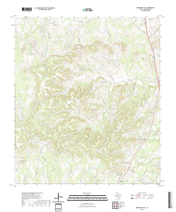
2022 Monument Hill
Blanco County, TX
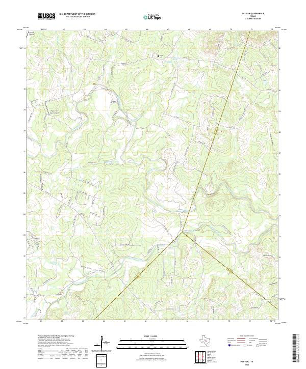
2022 Payton
Blanco County, TX
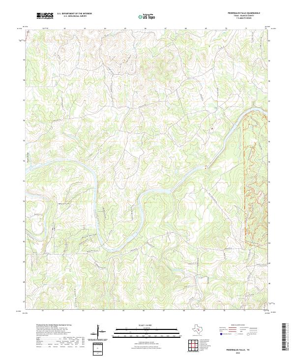
2022 Pedernales Falls
Blanco County, TX
2022 Rocky Creek
Blanco County, TX
2022 Spicewood
Blanco County, TX
2022 Yeager Creek
Blanco County, TX