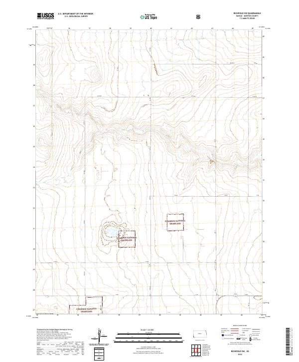
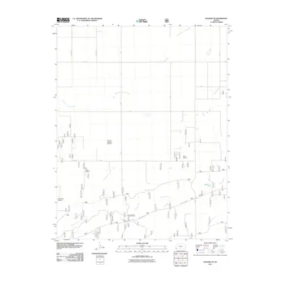
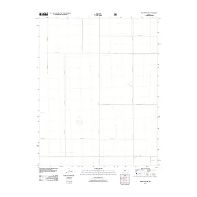
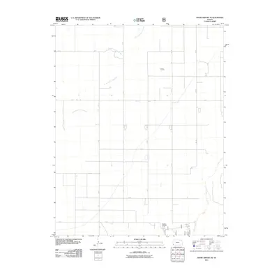
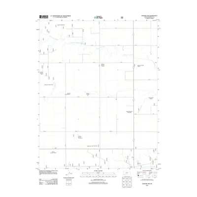
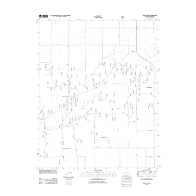
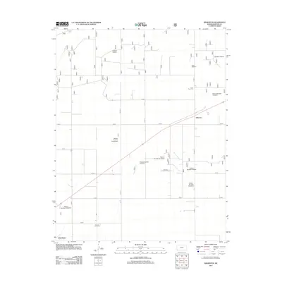
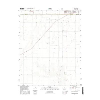
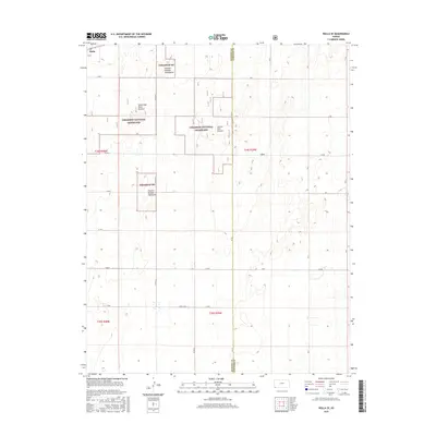
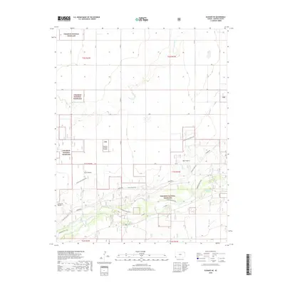
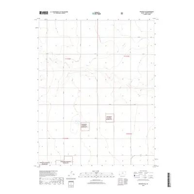
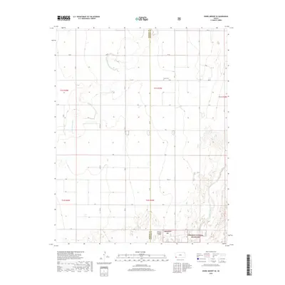
2022 Map of Richfield SW
USGS Topo · Published 2022About this map
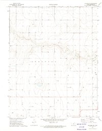
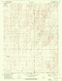
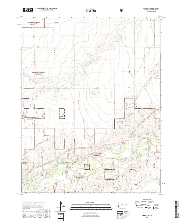
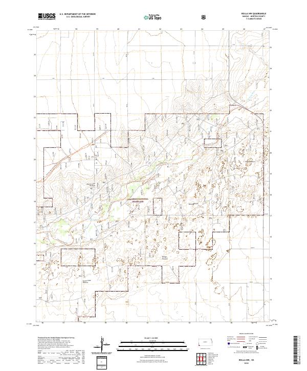
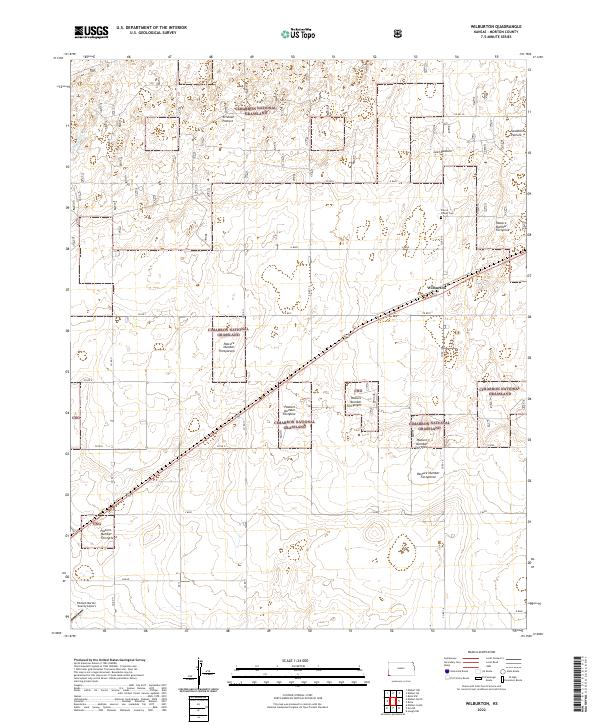
Cimarron National Grassland dominates the southern landscape of this corner of Morton County, preserving a massive expanse of the shortgrass prairie. The terrain is defined by a sparse but rigid grid of rural thoroughfares such as Co Rd 7 and Co Rd 5, which provide access to the remote sections of the high plains. The map illustrates a landscape of wide-open spaces and dry draws, where the placement of cattle guards and section lines dictates the flow of movement. This 2022 survey serves as a modern record of the land use patterns in the southwestern reaches of the Kansas plains, showing how the administrative boundaries of the grassland intersect with private holdings along routes like Bb Blvd and V Blvd.
Find a feature on this map
14 named features on this map. Tap any name to fly to it.
Don’t see what you’re looking for? This feature index may not catch every label — zoom into the map to look around manually.
Map Details
Editions of this 2022 Richfield SW Map
This is the sole edition of this map. No revisions or reprints were ever made.
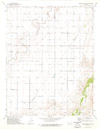
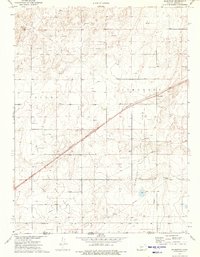
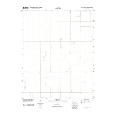
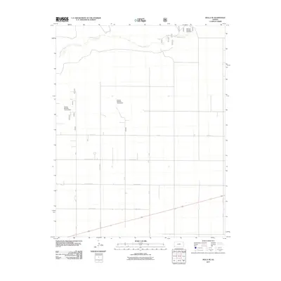
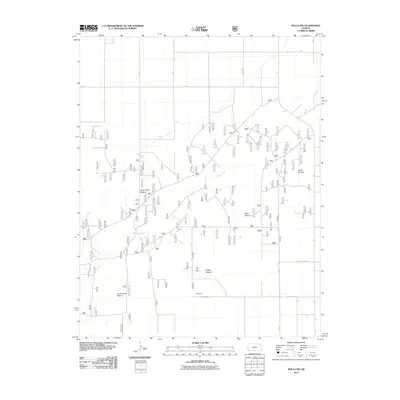
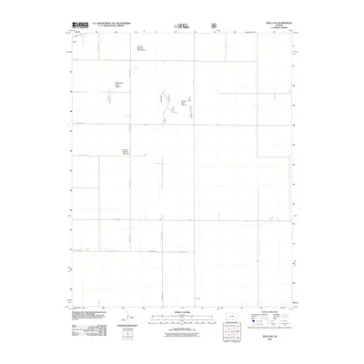
Historical Maps of Morton County Through Time
65 maps found
1973 Elkhart NE
Morton County, KS
1973 Elkhart North
Morton County, KS
1973 Elkhart NW
Morton County, KS
1973 Richfield SW
Morton County, KS
1973 Rolla NE
Morton County, KS
1973 Rolla NW
Morton County, KS
1973 Shore Airport SW
Morton County, KS
1974 Rolla SE
Morton County, KS
1974 Shore Airport SE
Morton County, KS
1974 Wilburton
Morton County, KS
2010 Shore Airport SW
Morton County, KS
2011 Elkhart NE
Morton County, KS
2011 Elkhart North
Morton County, KS
2011 Elkhart NW
Morton County, KS
2011 Elkhart South
Morton County, KS
2011 Richfield SW
Morton County, KS
2011 Rolla NE
Morton County, KS
2011 Rolla NW
Morton County, KS
2011 Rolla SE
Morton County, KS
2011 Shore Airport SE
Morton County, KS
2011 Wilburton
Morton County, KS
2012 Elkhart NE
Morton County, KS
2012 Elkhart North
Morton County, KS
2012 Elkhart NW
Morton County, KS
2012 Elkhart South
Morton County, KS
2012 Richfield SW
Morton County, KS
2012 Rolla NE
Morton County, KS
2012 Rolla NW
Morton County, KS
2012 Rolla SE
Morton County, KS
2012 Shore Airport SE
Morton County, KS
2012 Shore Airport SW
Morton County, KS
2012 Wilburton
Morton County, KS
2015 Elkhart NE
Morton County, KS
2015 Elkhart North
Morton County, KS
2015 Elkhart NW
Morton County, KS
2015 Elkhart South
Morton County, KS
2015 Richfield SW
Morton County, KS
2015 Rolla NE
Morton County, KS
2015 Rolla NW
Morton County, KS
2015 Rolla SE
Morton County, KS
2015 Shore Airport SE
Morton County, KS
2015 Shore Airport SW
Morton County, KS
2015 Wilburton
Morton County, KS
2018 Elkhart NE
Morton County, KS
2018 Elkhart North
Morton County, KS
2018 Elkhart NW
Morton County, KS
2018 Elkhart South
Morton County, KS
2018 Richfield SW
Morton County, KS
2018 Rolla NE
Morton County, KS
2018 Rolla NW
Morton County, KS
2018 Rolla SE
Morton County, KS
2018 Shore Airport SE
Morton County, KS
2018 Shore Airport SW
Morton County, KS
2018 Wilburton
Morton County, KS
2022 Elkhart NE
Morton County, KS
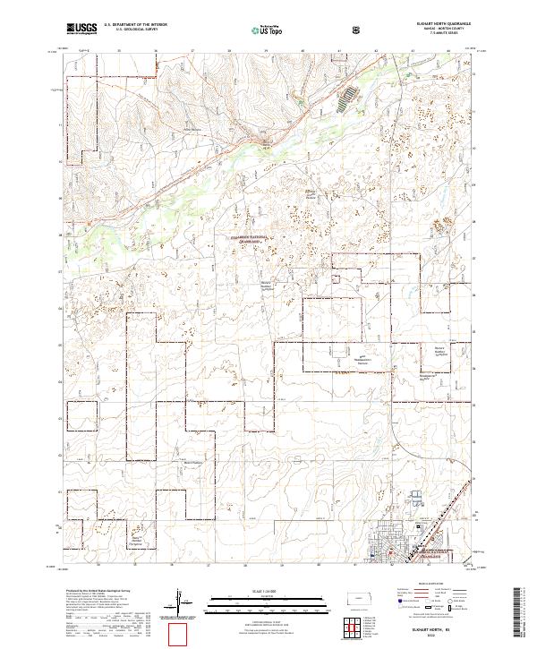
2022 Elkhart North
Morton County, KS
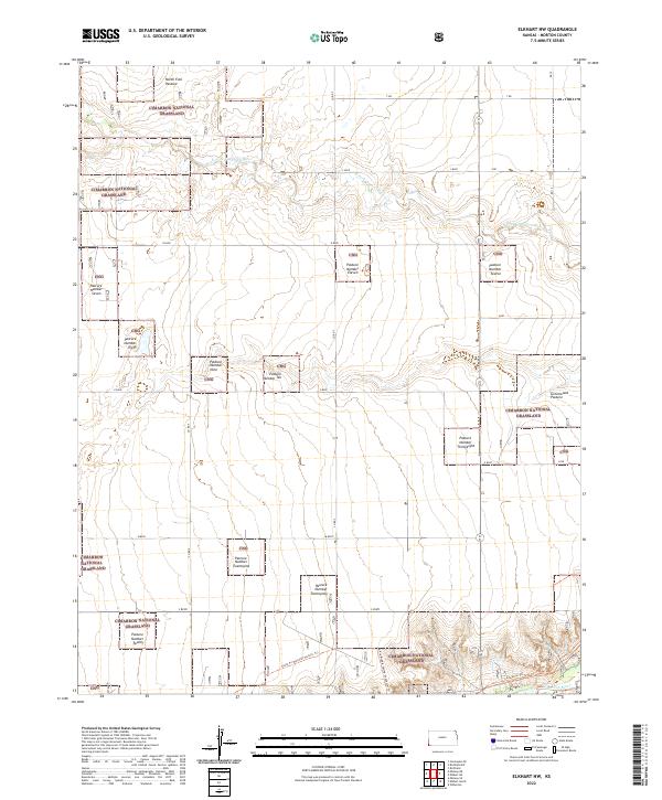
2022 Elkhart NW
Morton County, KS
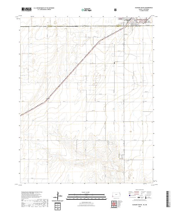
2022 Elkhart South
Morton County, KS
2022 Richfield SW
Morton County, KS
2022 Rolla NE
Morton County, KS
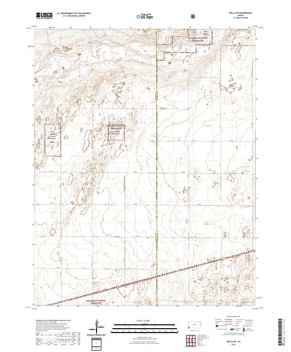
2022 Rolla NW
Morton County, KS
2022 Rolla SE
Morton County, KS
2022 Shore Airport SE
Morton County, KS
2022 Shore Airport SW
Morton County, KS
2022 Wilburton
Morton County, KS