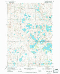
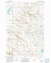
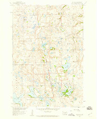
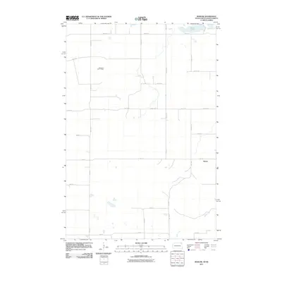
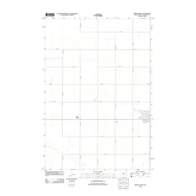
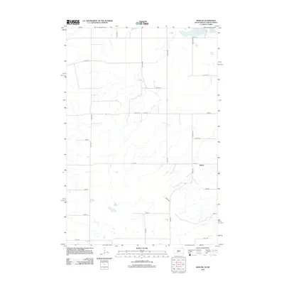
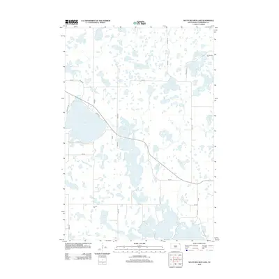
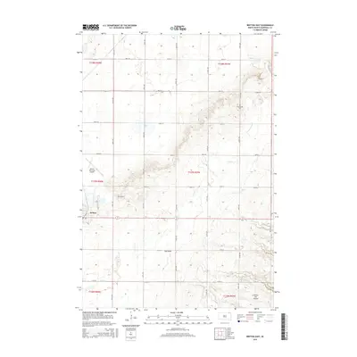
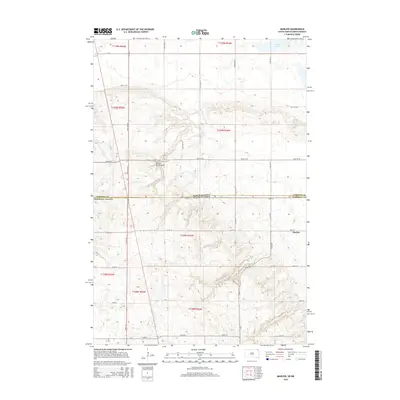
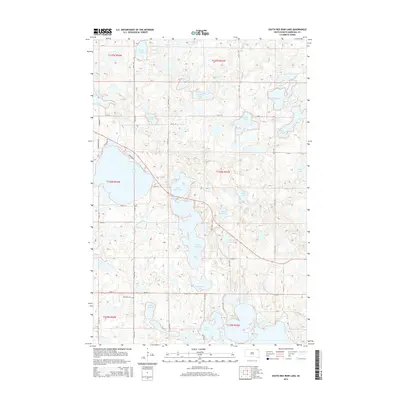
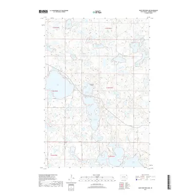
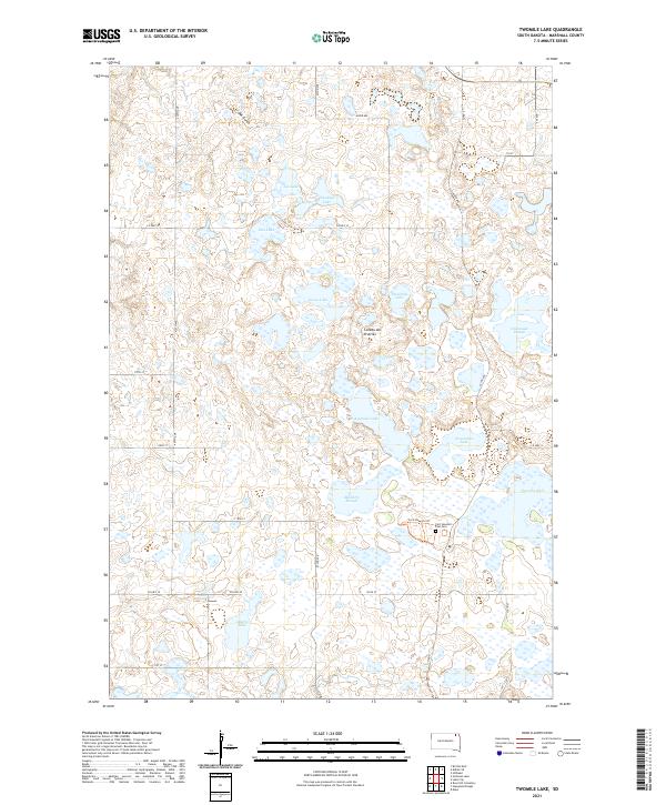
1970 Map of Twomile Lake
USGS Topo · Published 1994About this map
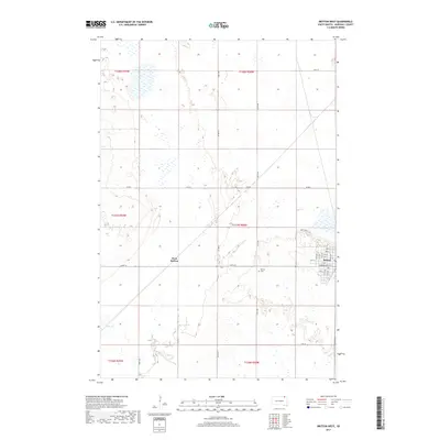
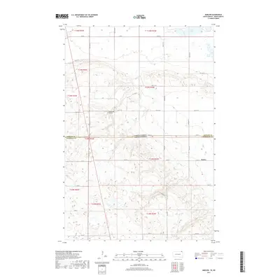
Fort Sisseton Military Reservation Boundary and Port Sisseton State Park dominate the southeastern landscape of this Marshall County survey, reflecting the area's transition from 19th-century military frontier to 20th-century preservation. The terrain is characterized by a dense network of glacial prairie potholes and sloughs, including Twomile Lake, Threemile Lake, and Fourmile Lake. This watery landscape provided critical habitat for waterfowl as evidenced by Mallard Slough and Cattail Lake. Local development is clustered around specific resource extraction points and community nodes, such as the Gravel Pits in the east and the Rose Hill Ch in the southwest corner. The map also delineates the civil boundaries of Waverly, Hamilton, Sisseton, and Fort townships, providing a clear picture of the rural South Dakota land division in the 1970s.
Find a feature on this map
24 named features on this map. Tap any name to fly to it.
Don’t see what you’re looking for? This feature index may not catch every label — zoom into the map to look around manually.
Map Details
Editions of this 1970 Twomile Lake Map
2 editions found
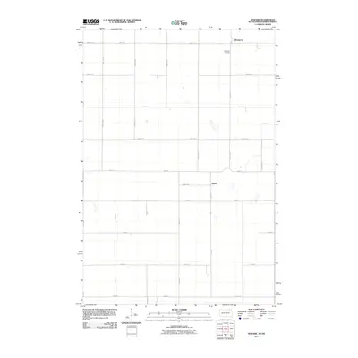
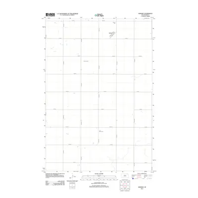
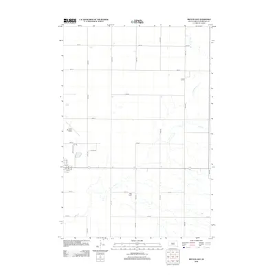
Historical Maps of Marshall County Through Time
65 maps found
1953 Britton East
Marshall County, SD
1953 Newark SW
Marshall County, SD
1954 Kidder SE
Marshall County, SD
1956 Britton West
Marshall County, SD
1958 Amherst
Marshall County, SD
1958 Hickman Lake
Marshall County, SD
1958 Hillhead
Marshall County, SD
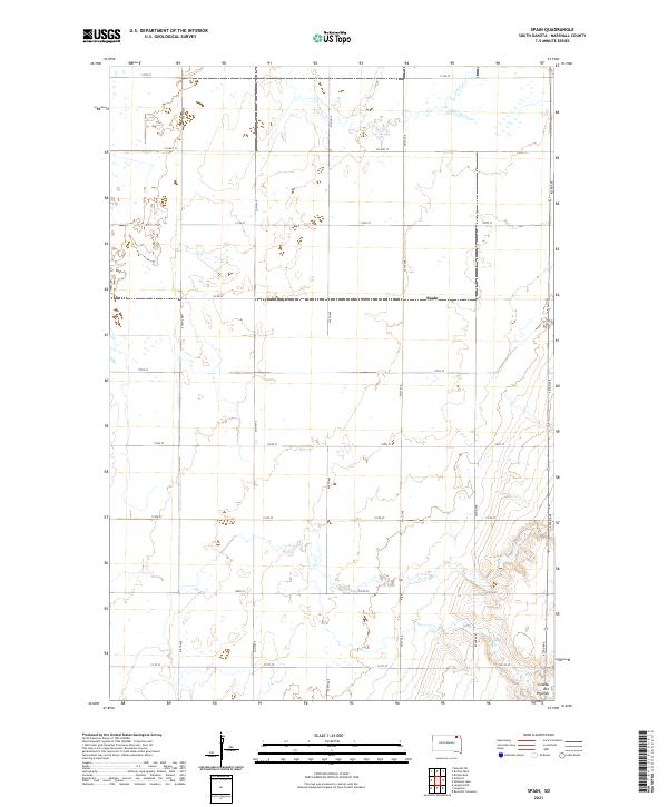
1958 Spain
Marshall County, SD
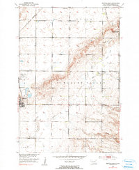
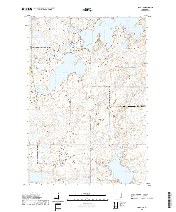
1970 Piyas Lake
Marshall County, SD
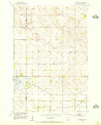
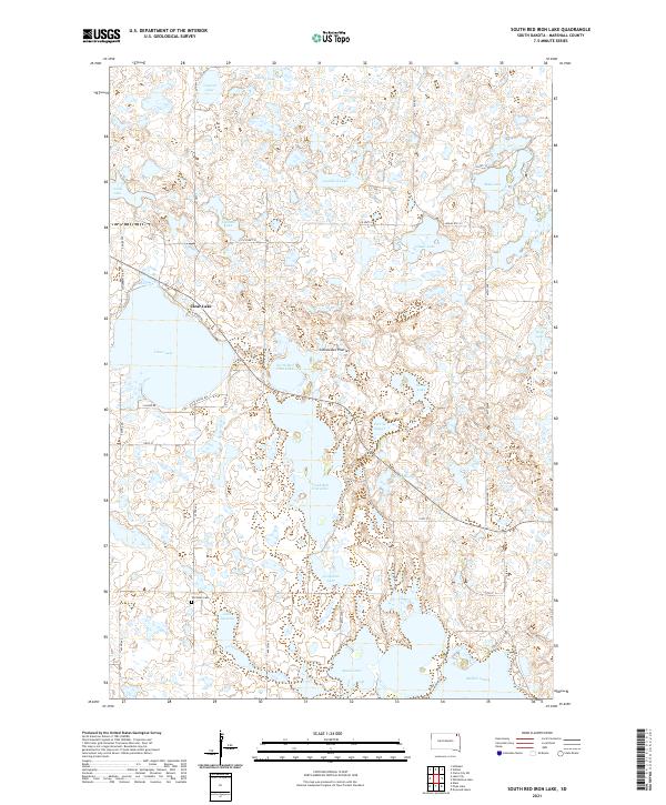
1970 South Red Iron Lake
Marshall County, SD
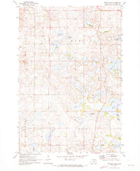
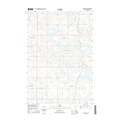
1970 Twomile Lake
Marshall County, SD
2011 Marlow
Marshall County, SD
2011 Newark
Marshall County, SD
2012 Amherst
Marshall County, SD
2012 Britton East
Marshall County, SD
2012 Britton West
Marshall County, SD
2012 Hickman Lake
Marshall County, SD
2012 Hillhead
Marshall County, SD
2012 Kidder SE
Marshall County, SD
2012 Marlow
Marshall County, SD
2012 Newark
Marshall County, SD
2012 Newark SW
Marshall County, SD
2012 Piyas Lake
Marshall County, SD
2012 South Red Iron Lake
Marshall County, SD
2012 Spain
Marshall County, SD
2012 Twomile Lake
Marshall County, SD
2015 Amherst
Marshall County, SD
2015 Britton East
Marshall County, SD
2015 Britton West
Marshall County, SD
2015 Hickman Lake
Marshall County, SD
2015 Hillhead
Marshall County, SD

2015 Kidder SE
Marshall County, SD
2015 Marlow
Marshall County, SD
2015 Newark
Marshall County, SD
2015 Newark SW
Marshall County, SD
2015 Piyas Lake
Marshall County, SD
2015 South Red Iron Lake
Marshall County, SD
2015 Spain
Marshall County, SD
2015 Twomile Lake
Marshall County, SD
2017 Amherst
Marshall County, SD

2017 Britton East
Marshall County, SD
2017 Britton West
Marshall County, SD
2017 Hickman Lake
Marshall County, SD
2017 Hillhead
Marshall County, SD
2017 Kidder SE
Marshall County, SD
2017 Marlow
Marshall County, SD
2017 Newark
Marshall County, SD
2017 Newark SW
Marshall County, SD
2017 Piyas Lake
Marshall County, SD
2017 South Red Iron Lake
Marshall County, SD
2017 Spain
Marshall County, SD
2017 Twomile Lake
Marshall County, SD
2021 Amherst
Marshall County, SD
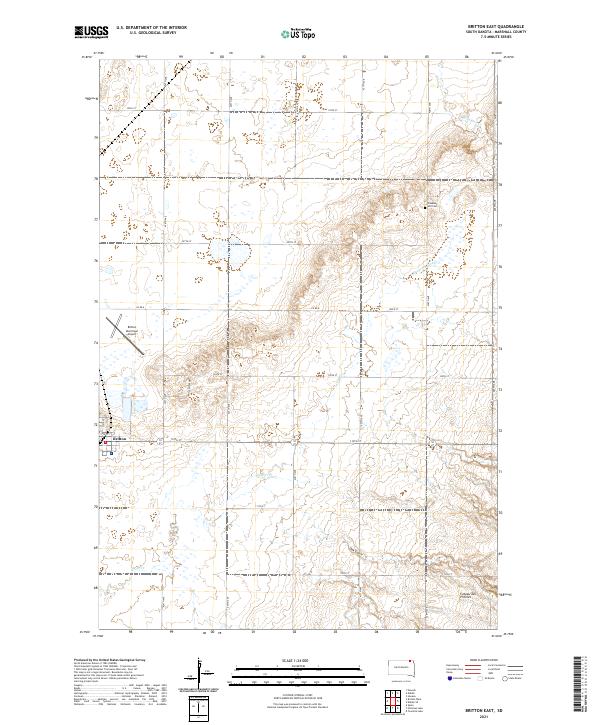
2021 Britton East
Marshall County, SD
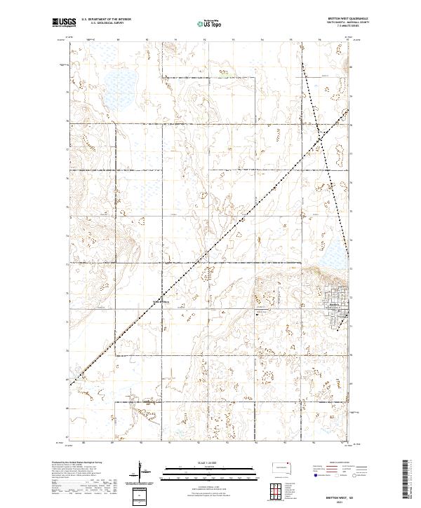
2021 Britton West
Marshall County, SD
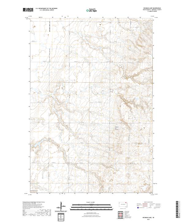
2021 Hickman Lake
Marshall County, SD
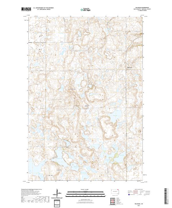
2021 Hillhead
Marshall County, SD
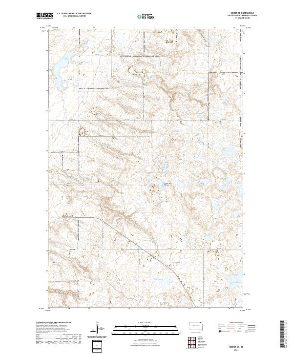
2021 Kidder SE
Marshall County, SD
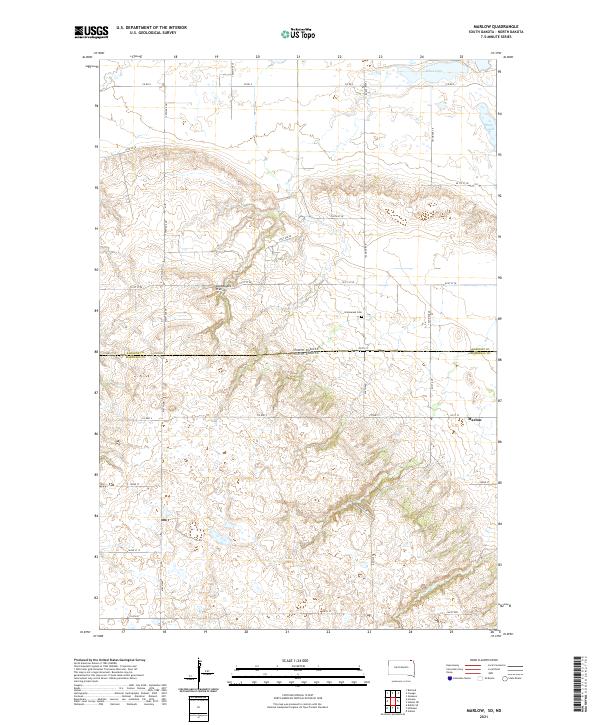
2021 Marlow
Marshall County, SD
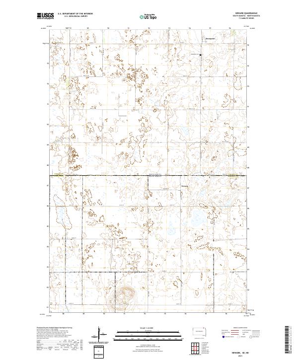
2021 Newark
Marshall County, SD
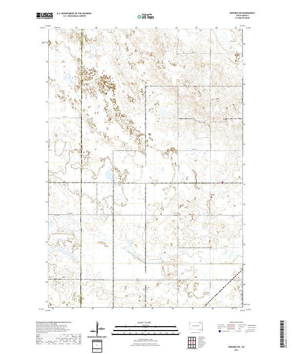
2021 Newark SW
Marshall County, SD
2021 Piyas Lake
Marshall County, SD
2021 South Red Iron Lake
Marshall County, SD
2021 Spain
Marshall County, SD
2021 Twomile Lake
Marshall County, SD