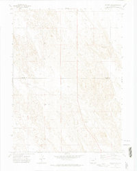
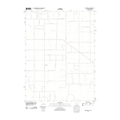
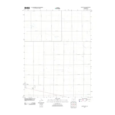
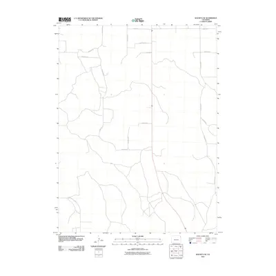
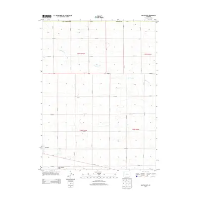
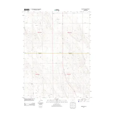
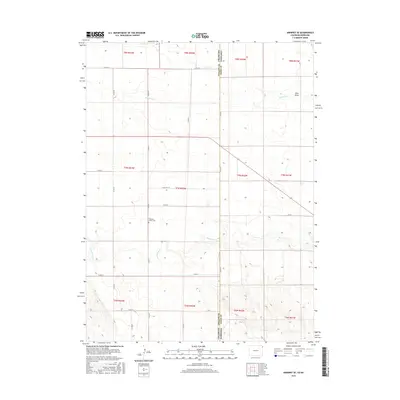
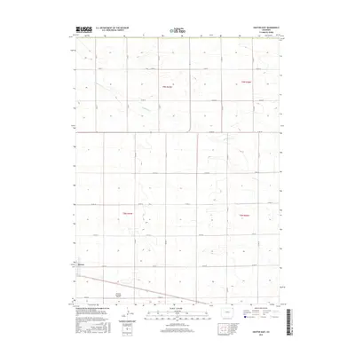
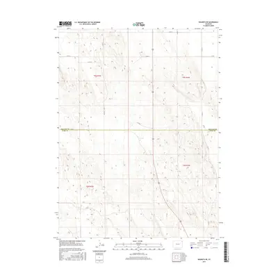
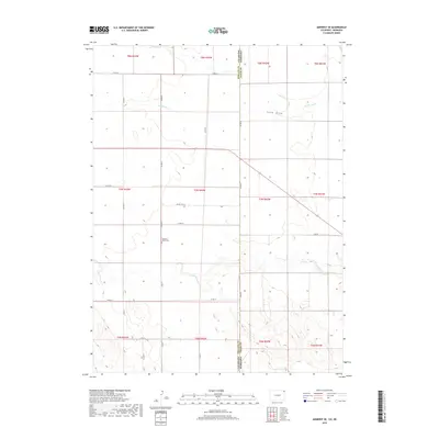
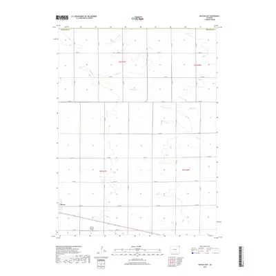
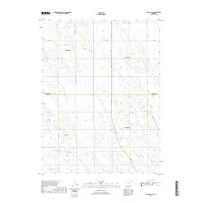
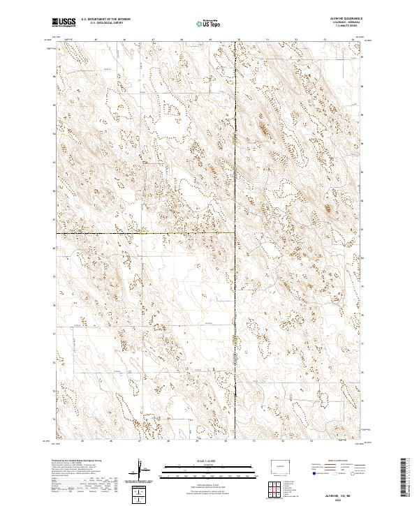
2022 Map of Alvin NW
USGS Topo · Published 2022About this map
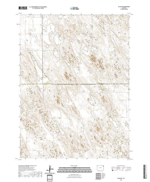
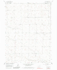
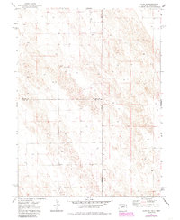
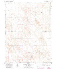
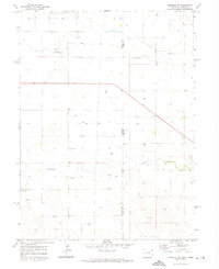
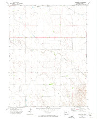
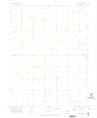
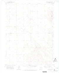
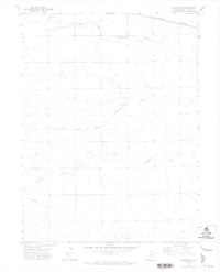
The county boundary between Phillips Co Yuma Co divides this expansive section of the Colorado High Plains, where the landscape is defined by the repetitive, undulating topography of the sandhills. This late-stage survey reveals a highly organized but sparsely populated rural infrastructure, dictated by the Public Land Survey System. The map highlights the transition between several townships, including t6n r44w, t6n r43w, t5n r44w, and t5n r43w, reflecting the rigid grid that governs land ownership and access in this arid region.
Find a feature on this map
22 named features on this map. Tap any name to fly to it.
Don’t see what you’re looking for? This feature index may not catch every label — zoom into the map to look around manually.
Map Details
Editions of this 2022 Alvin NW Map
This is the sole edition of this map. No revisions or reprints were ever made.
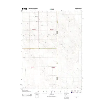
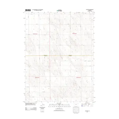
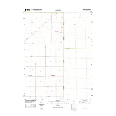
Historical Maps of Yuma County Through Time
72 maps found
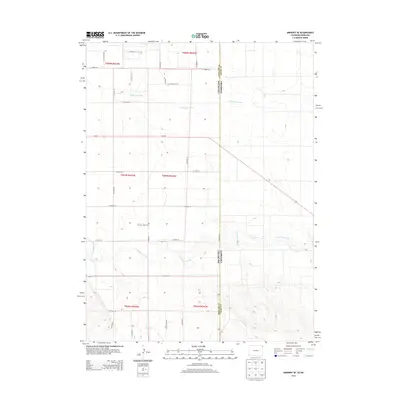
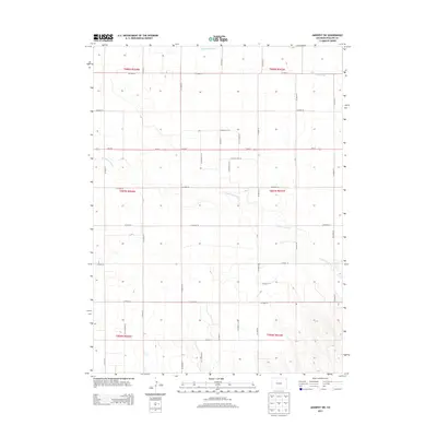
1962 Amherst NE
Phillips County, CO
1962 Haxtun East
Phillips County, CO
1962 Holyoke NE
Phillips County, CO
1962 Holyoke NW
Phillips County, CO
1971 Alvin NE
Phillips County, CO
1971 Alvin NW
Phillips County, CO
1971 Amherst SE
Phillips County, CO
1971 Amherst SW
Phillips County, CO
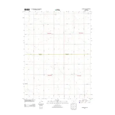
1971 Clarkville NE
Phillips County, CO
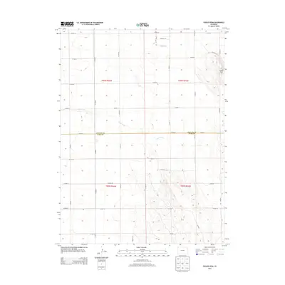
1971 Fiddler Peak
Phillips County, CO
1971 Haxtun SE
Phillips County, CO
1971 Wauneta NE
Phillips County, CO
2010 Alvin NE
Phillips County, CO
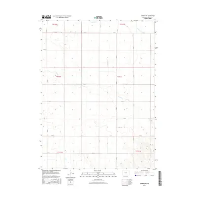
2010 Alvin NW
Phillips County, CO
2010 Amherst NE
Phillips County, CO
2010 Amherst SE
Phillips County, CO
2010 Amherst SW
Phillips County, CO
2010 Clarkville NE
Phillips County, CO
2010 Fiddler Peak
Phillips County, CO
2010 Haxtun East
Phillips County, CO
2010 Haxtun SE
Phillips County, CO
2010 Holyoke NE
Phillips County, CO
2010 Holyoke NW
Phillips County, CO
2010 Wauneta NE
Phillips County, CO
2013 Alvin NE
Phillips County, CO
2013 Alvin NW
Phillips County, CO
2013 Amherst NE
Phillips County, CO
2013 Amherst SE
Phillips County, CO
2013 Amherst SW
Phillips County, CO
2013 Clarkville NE
Phillips County, CO
2013 Fiddler Peak
Phillips County, CO
2013 Haxtun East
Phillips County, CO
2013 Haxtun SE
Phillips County, CO
2013 Holyoke NE
Phillips County, CO
2013 Holyoke NW
Phillips County, CO
2013 Wauneta NE
Phillips County, CO
2016 Alvin NE
Phillips County, CO
2016 Alvin NW
Phillips County, CO
2016 Amherst NE
Phillips County, CO
2016 Amherst SE
Phillips County, CO
2016 Amherst SW
Phillips County, CO
2016 Clarkville NE
Phillips County, CO
2016 Fiddler Peak
Phillips County, CO
2016 Haxtun East
Phillips County, CO
2016 Haxtun SE
Phillips County, CO
2016 Holyoke NE
Phillips County, CO
2016 Holyoke NW
Phillips County, CO
2016 Wauneta NE
Phillips County, CO
2019 Alvin NE
Phillips County, CO
2019 Alvin NW
Phillips County, CO
2019 Amherst NE
Phillips County, CO
2019 Amherst SE
Phillips County, CO
2019 Amherst SW
Phillips County, CO
2019 Clarkville NE
Phillips County, CO
2019 Fiddler Peak
Phillips County, CO
2019 Haxtun East
Phillips County, CO
2019 Haxtun SE
Phillips County, CO
2019 Holyoke NE
Phillips County, CO
2019 Holyoke NW
Phillips County, CO
2019 Wauneta NE
Phillips County, CO
2022 Alvin NE
Phillips County, CO
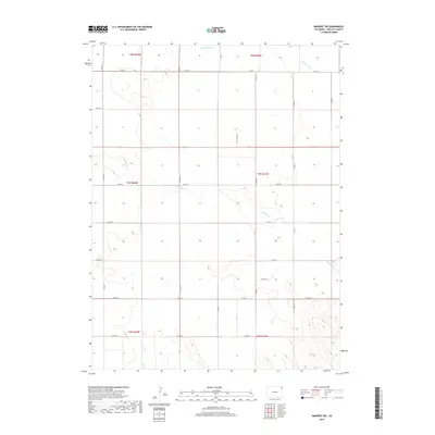
2022 Alvin NW
Phillips County, CO
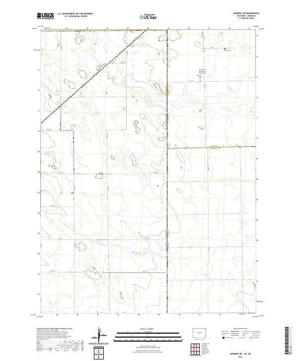
2022 Amherst NE
Phillips County, CO
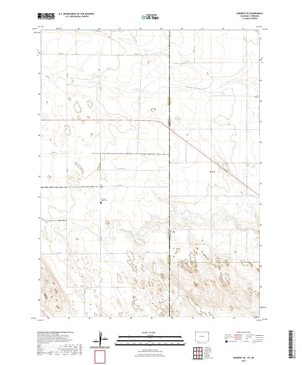
2022 Amherst SE
Phillips County, CO
2022 Amherst SW
Phillips County, CO
2022 Clarkville NE
Phillips County, CO
2022 Fiddler Peak
Phillips County, CO
2022 Haxtun East
Phillips County, CO
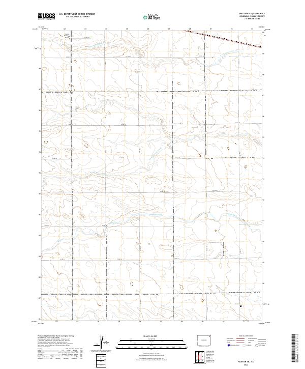
2022 Haxtun SE
Phillips County, CO
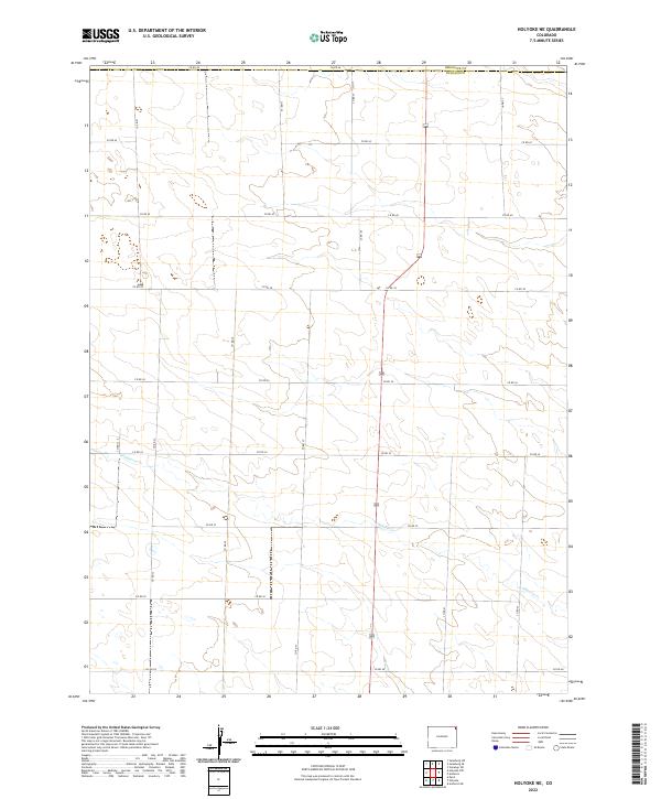
2022 Holyoke NE
Phillips County, CO
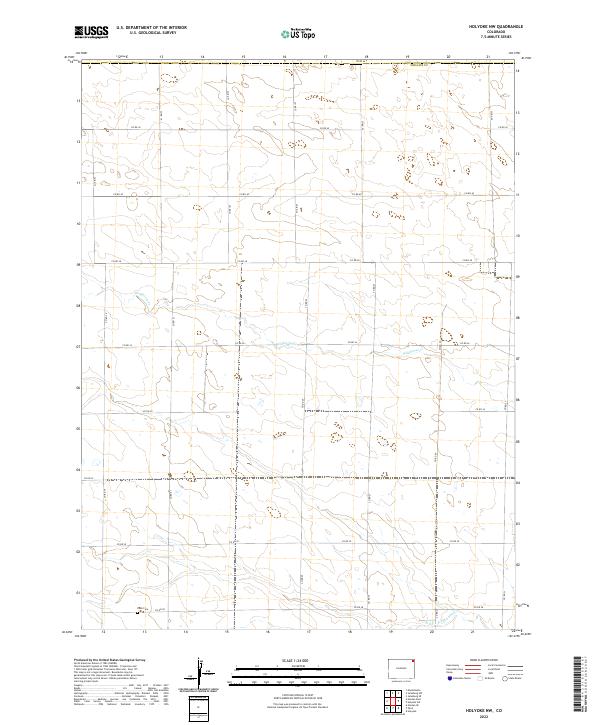
2022 Holyoke NW
Phillips County, CO
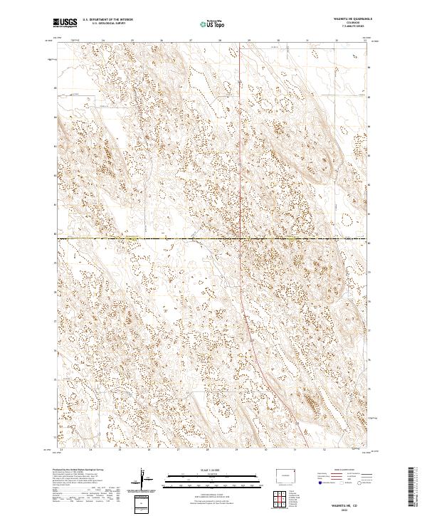
2022 Wauneta NE
Phillips County, CO