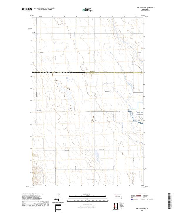
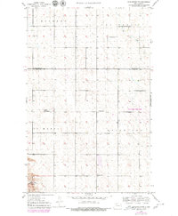
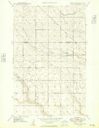
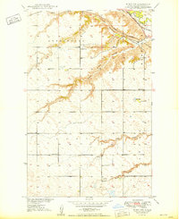
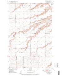
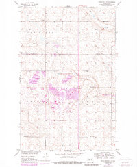
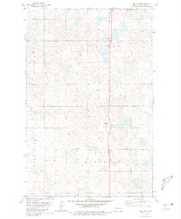
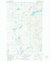
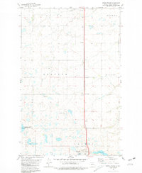
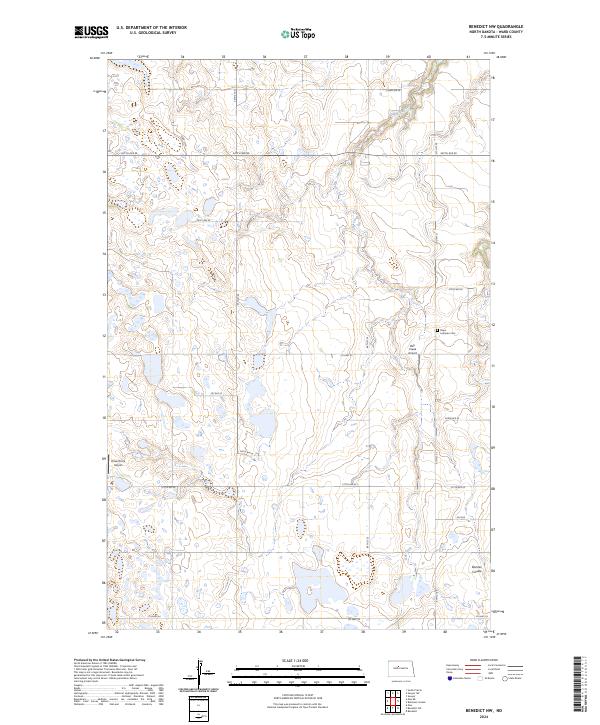
2024 Map of Burlington NW
USGS Topo · Published 2024This historical map portrays the area of Burlington NW in 2024, primarily covering Ward County as well as portions of Renville County. Featuring a scale of 1:24000, this map provides a highly detailed snapshot of the terrain, roads, buildings, counties, and historical landmarks in the Burlington NW region at the time. Published in 2024, it is the sole known edition of this map.
Find a feature on this map
30 named features on this map. Tap any name to fly to it.
Don’t see what you’re looking for? This feature index may not catch every label — zoom into the map to look around manually.
Map Details
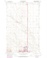
Editions of this 2024 Burlington NW Map
This is the sole edition of this map. No revisions or reprints were ever made.
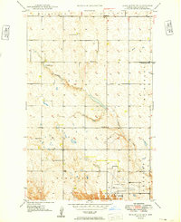
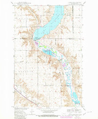
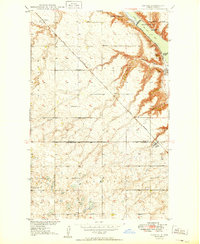
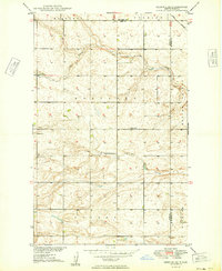
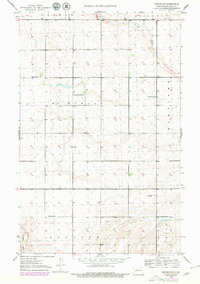
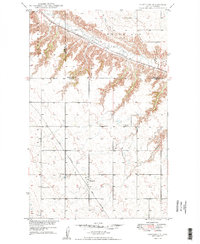
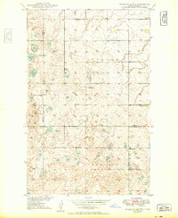
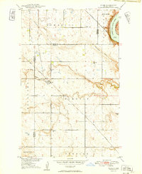
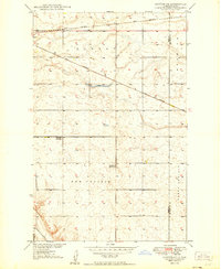
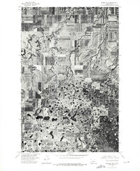
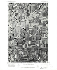
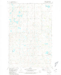
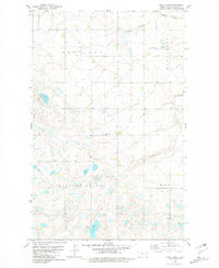
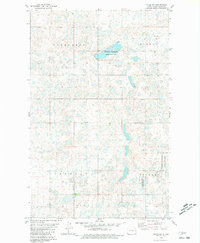
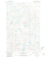
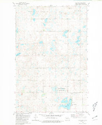
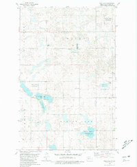
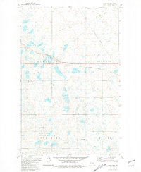
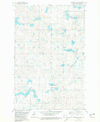
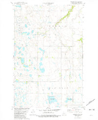
Historical Maps of Renville County Through Time
66 maps found
1948 Minot NW
Ward County, ND
1948 Norma
Ward County, ND
1949 Burlington NE
Ward County, ND
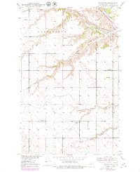
1949 Burlington NW
Ward County, ND
1949 Burlington SE
Ward County, ND
1949 Carpio NE
Ward County, ND
1949 Coulee
Ward County, ND
1949 Deering NW
Ward County, ND
1949 Deering SE
Ward County, ND
1949 Deering SW
Ward County, ND
1949 Hartland
Ward County, ND
1949 Minot NW
Ward County, ND
1949 Mosquito Butte
Ward County, ND
1949 Niobe
Ward County, ND
1949 Sawyer NE
Ward County, ND
1950 Sawyer SW
Ward County, ND
1966 Burlington SE
Ward County, ND
1974 Benedict NE
Ward County, ND
1974 Benedict NW
Ward County, ND
1979 Burlington NE
Ward County, ND
1979 Sawyer NE
Ward County, ND
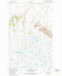
1980 Aurelia
Ward County, ND
1980 Lake Vernon
Ward County, ND
1980 Max NE
Ward County, ND
1980 Minot SW
Ward County, ND
1980 Mork Lake
Ward County, ND
1980 Plaza NE
Ward County, ND
1980 Plaza SE
Ward County, ND
1980 Rice Lake NW
Ward County, ND
1980 Rice Lake
Ward County, ND
1980 Rush Lake
Ward County, ND
1980 South Prairie
Ward County, ND
1980 Tagus SE
Ward County, ND
1980 Underdahl Lake
Ward County, ND
1981 Benedict NW
Ward County, ND
1981 Robinson Coulee
Ward County, ND
2024 Aurelia
Ward County, ND
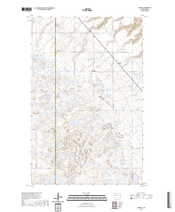
2024 Benedict NW
Ward County, ND
2024 Burlington NE
Ward County, ND
2024 Burlington NW
Ward County, ND
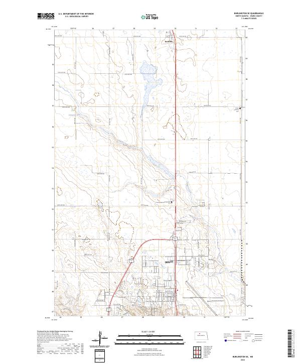
2024 Burlington SE
Ward County, ND
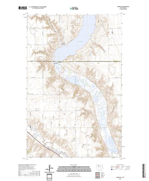
2024 Carpio NE
Ward County, ND
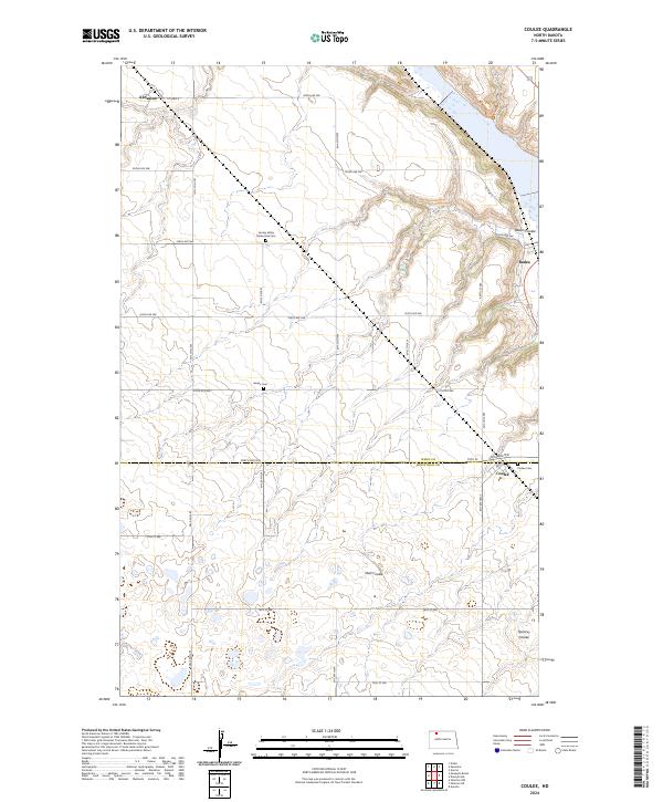
2024 Coulee
Ward County, ND
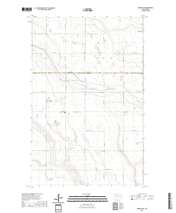
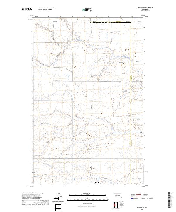
2024 Deering NW
Ward County, ND
2024 Deering SE
Ward County, ND
2024 Deering SW
Ward County, ND
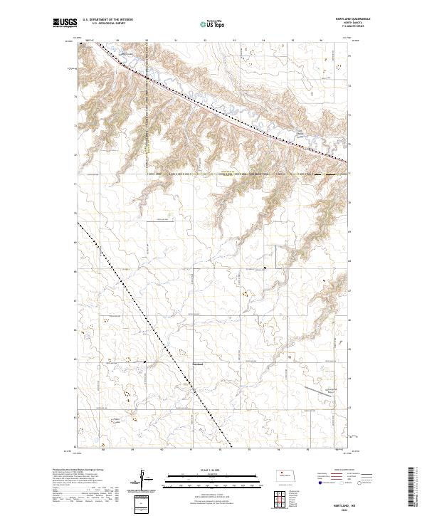
2024 Hartland
Ward County, ND
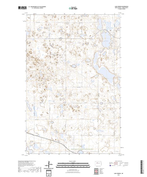
2024 Lake Vernon
Ward County, ND
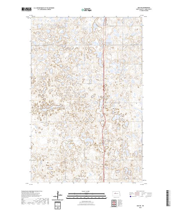
2024 Max NE
Ward County, ND
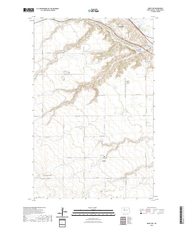
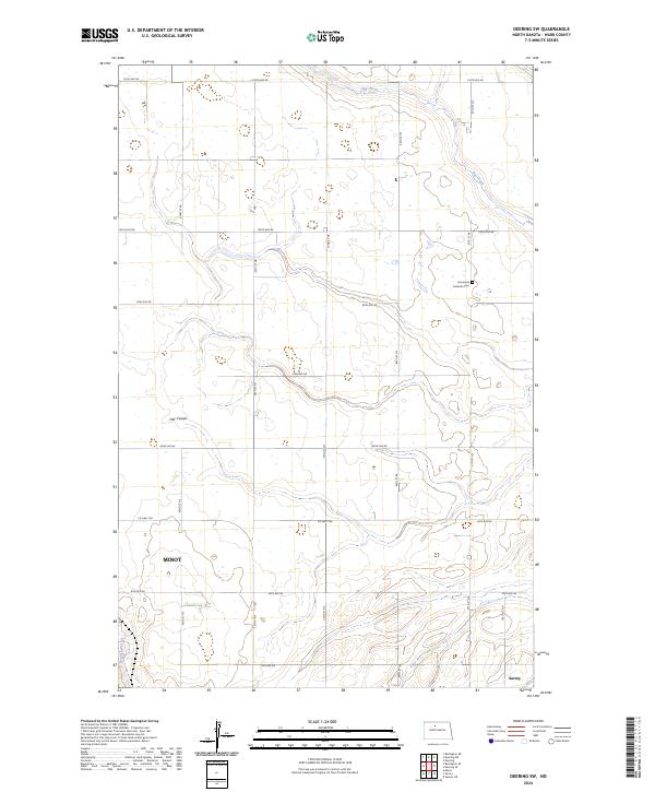
2024 Minot NW
Ward County, ND
2024 Minot SW
Ward County, ND
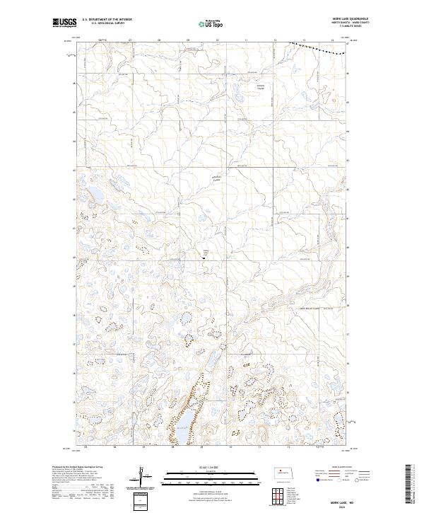
2024 Mork Lake
Ward County, ND
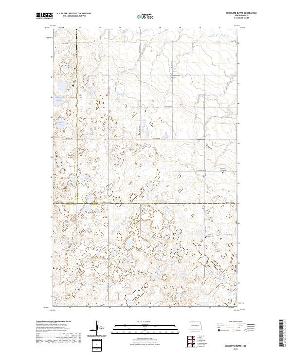
2024 Mosquito Butte
Ward County, ND
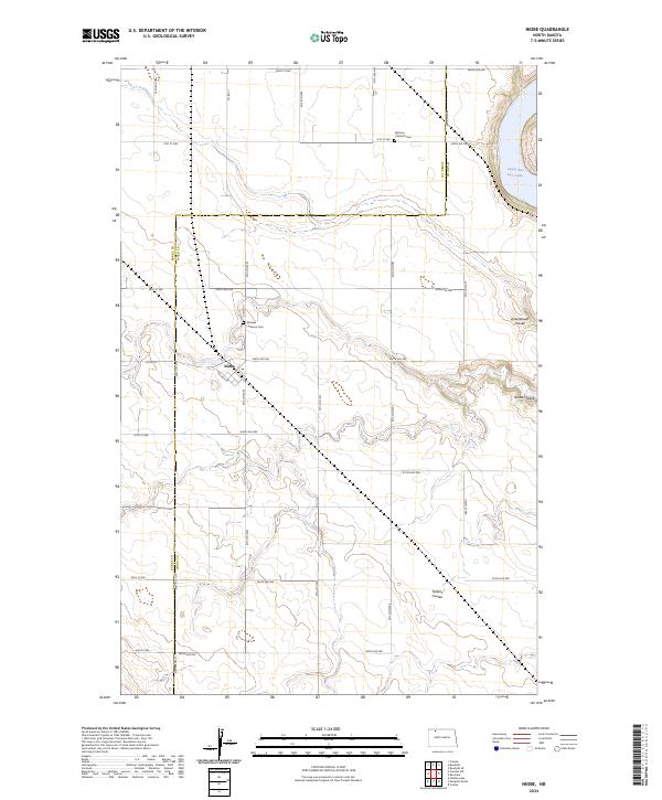
2024 Niobe
Ward County, ND
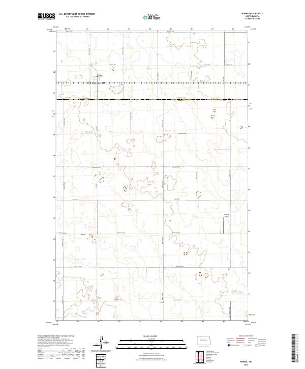
2024 Norma
Ward County, ND
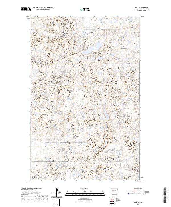
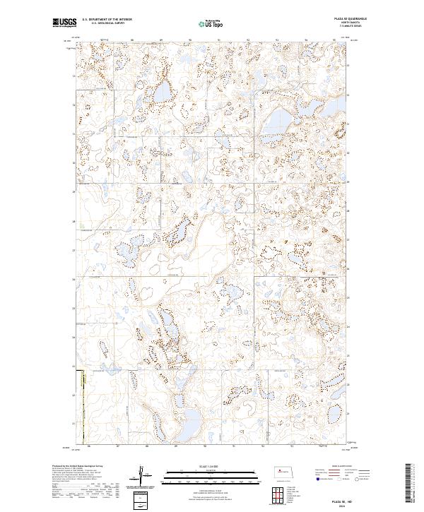
2024 Plaza NE
Ward County, ND
2024 Plaza SE
Ward County, ND
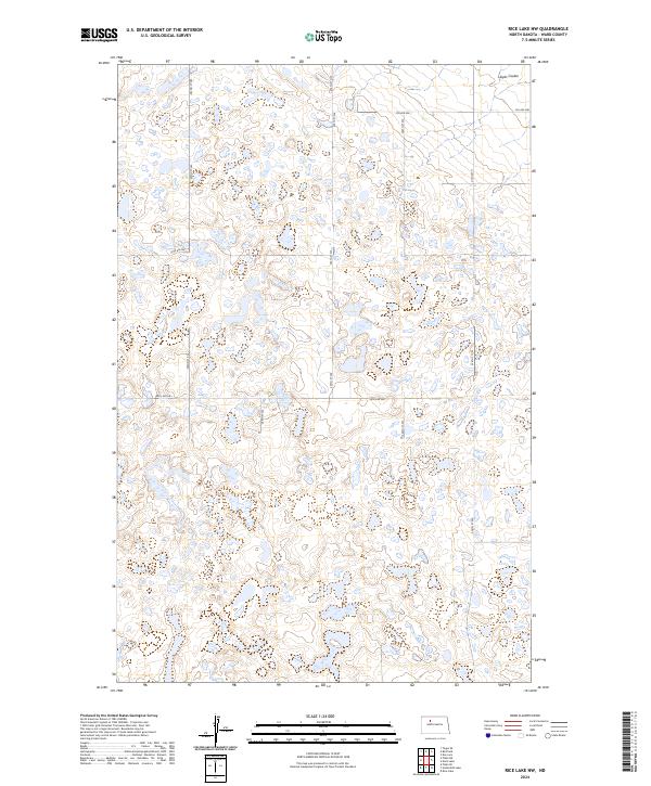
2024 Rice Lake NW
Ward County, ND
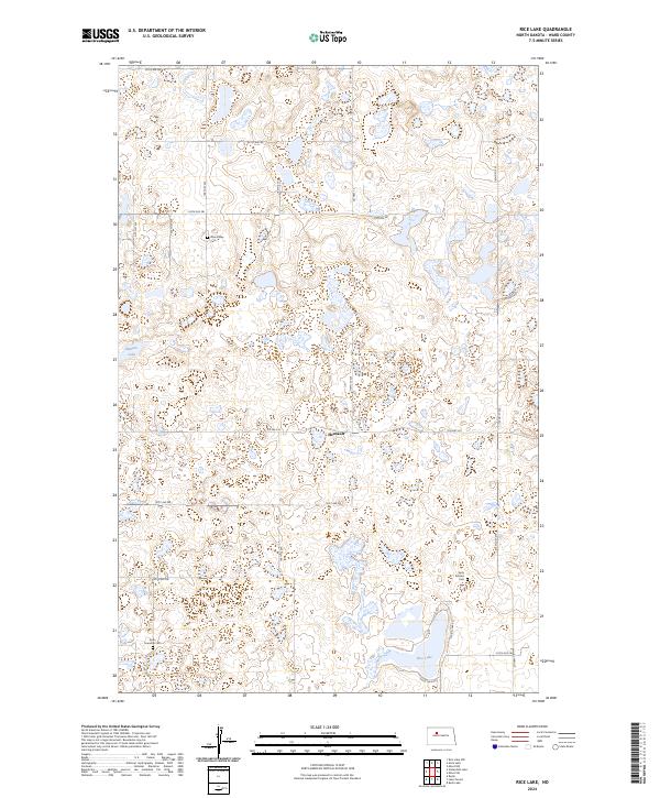
2024 Rice Lake
Ward County, ND
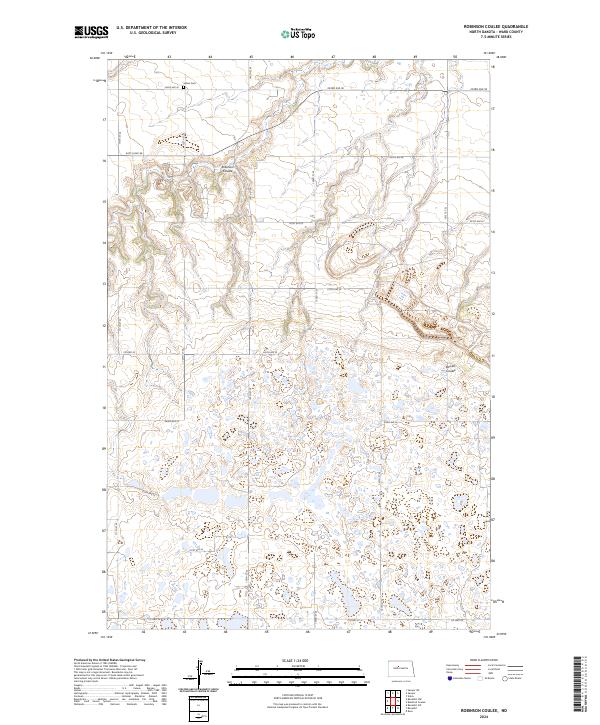
2024 Robinson Coulee
Ward County, ND
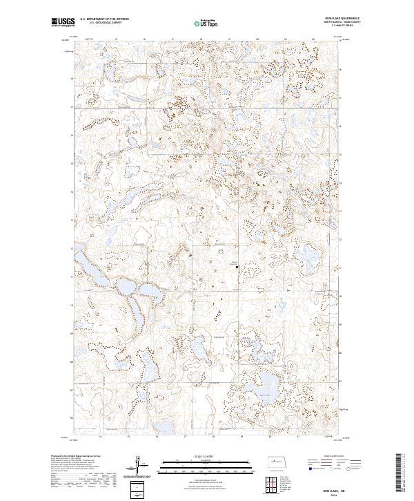
2024 Rush Lake
Ward County, ND
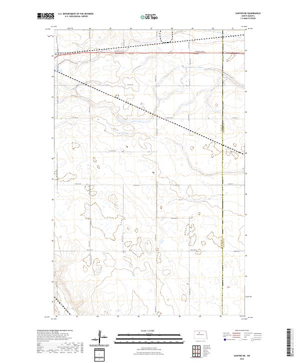
2024 Sawyer NE
Ward County, ND
2024 Sawyer SW
Ward County, ND
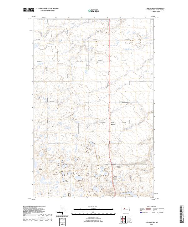
2024 South Prairie
Ward County, ND
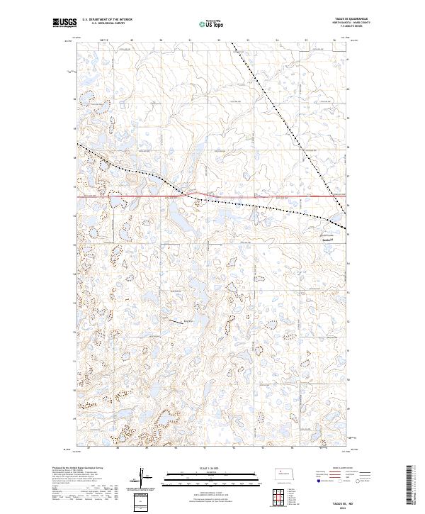
2024 Tagus SE
Ward County, ND
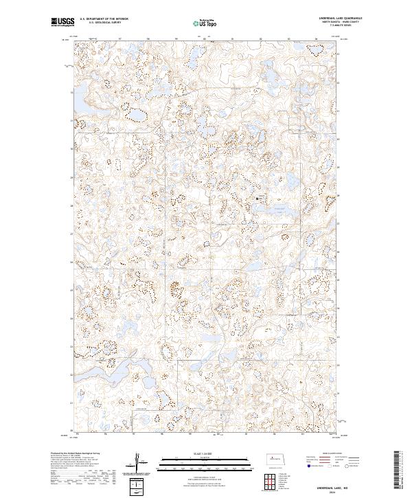
2024 Underdahl Lake
Ward County, ND