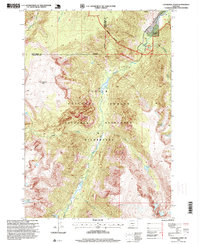
2024 Map of Columbus West
USGS Topo · Published 2024About this map
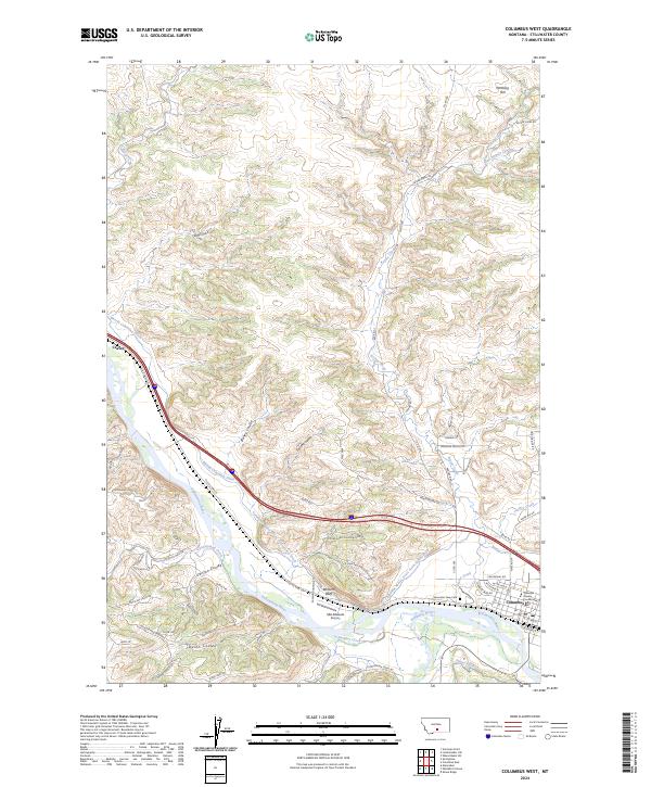
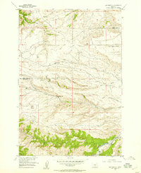
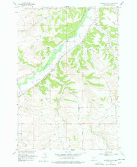
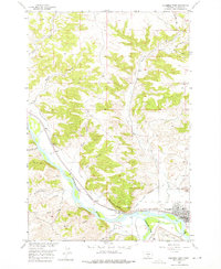
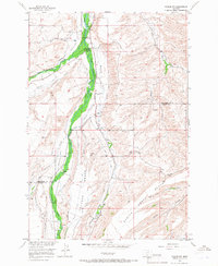
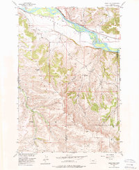
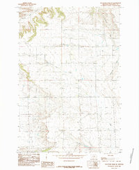
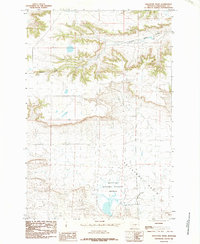
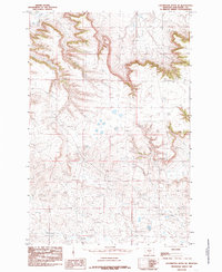
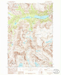
The confluence of the Stillwater River and the Yellowstone River anchors this landscape in Stillwater County, where the valley floor transitions into the northern coulees and hills. The town of Columbus serves as the focal point, featuring the Stillwater County Courthouse and the hillside Mountain View Cem. The area's complex water management history is visible through extensive irrigation infrastructure, including the Merrill Columbus Ditch, the Columbus Water Users Association Ditch, and the Shane Ditch, which parallel the river courses to support the local agriculture.
Find a feature on this map
55 named features on this map. Tap any name to fly to it.
Don’t see what you’re looking for? This feature index may not catch every label — zoom into the map to look around manually.
Map Details
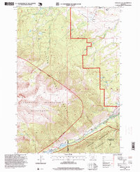
Editions of this 2024 Columbus West Map
This is the sole edition of this map. No revisions or reprints were ever made.
Historical Maps of Valley Vista Trailer Park Through Time
68 maps found
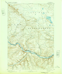
1892 Stillwater
Stillwater County, MT

1898 Granite Mountain District
Stillwater County, MT

1932 Nye No 1
Stillwater County, MT

1932 Nye No 2
Stillwater County, MT
1939 Mt Wood
Stillwater County, MT

1941 Mt. Wood
Stillwater County, MT
1955 Antelope Point
Stillwater County, MT
1955 Cow Face Hill
Stillwater County, MT
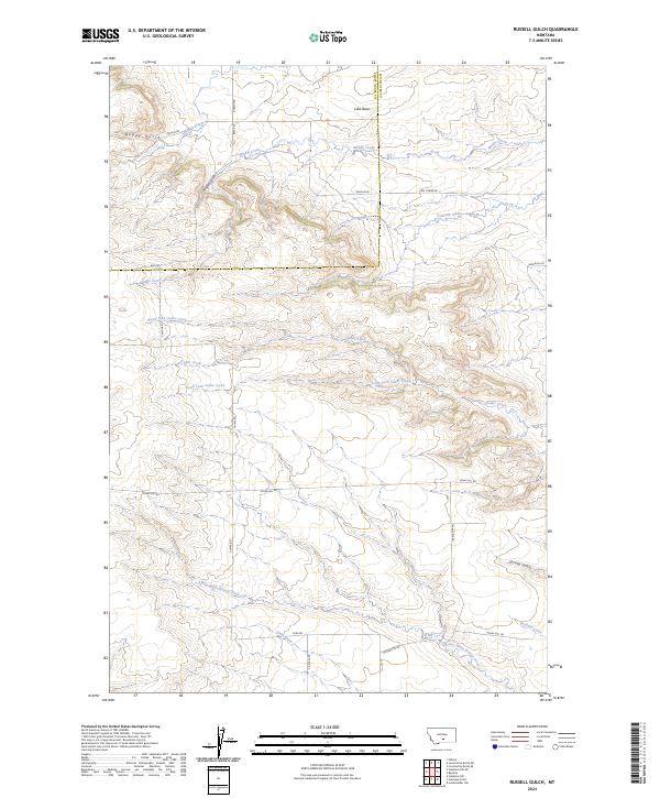
1955 Russell Gulch
Stillwater County, MT
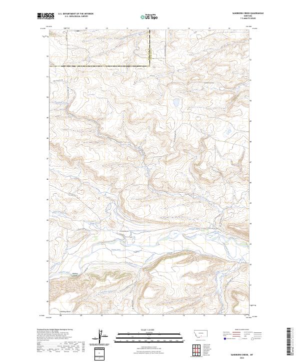
1955 Sandborn Creek
Stillwater County, MT
1955 Springtime
Stillwater County, MT
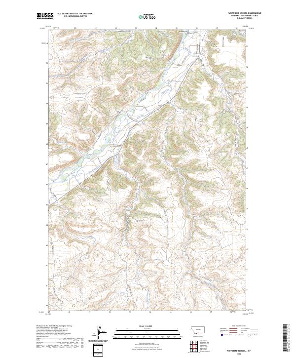
1955 Whitebird School
Stillwater County, MT
1956 Battle Butte
Stillwater County, MT
1956 Beehive
Stillwater County, MT
1956 Columbus East
Stillwater County, MT
1956 Columbus West
Stillwater County, MT
1956 Emerald Lake
Stillwater County, MT
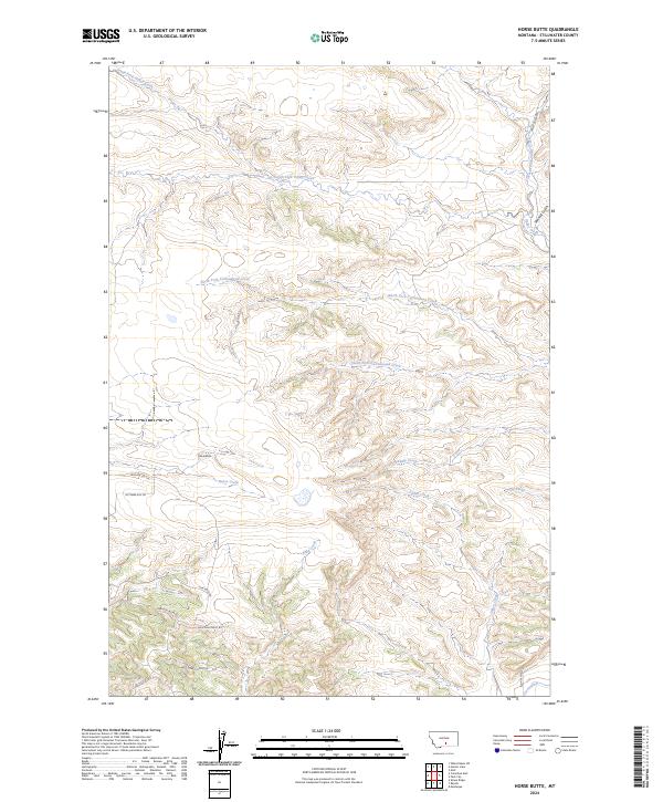
1956 Horse Butte
Stillwater County, MT
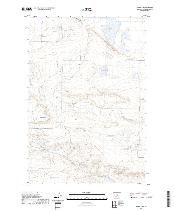
1956 Hunter Lake
Stillwater County, MT
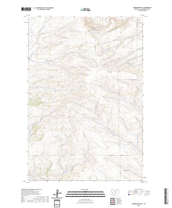
1956 Lindemulder Hill
Stillwater County, MT
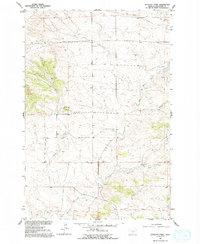
1956 Molt
Stillwater County, MT
1956 Rock Spring
Stillwater County, MT
1956 Roscoe NW
Stillwater County, MT
1956 Shane Ridge
Stillwater County, MT
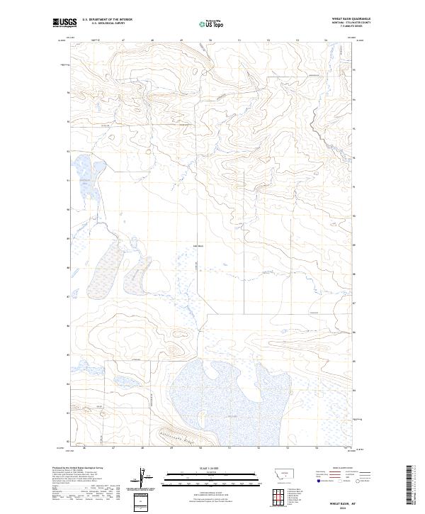
1956 Wheat Basin
Stillwater County, MT
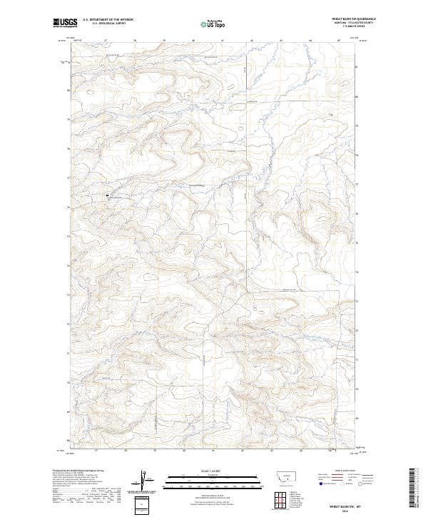
1956 Wheat Basin SW
Stillwater County, MT
1980 Broadview West
Stillwater County, MT
1985 Hailstone Basin SE
Stillwater County, MT
1985 Hailstone Basin
Stillwater County, MT
1985 Locomotive Butte SE
Stillwater County, MT
1986 Cathedral Point
Stillwater County, MT
1986 Granite Peak
Stillwater County, MT
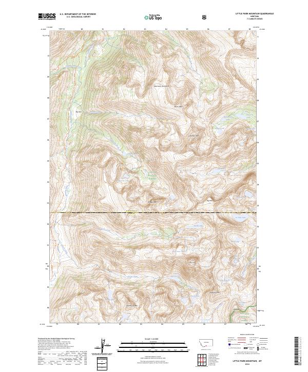
1986 Little Park Mountain
Stillwater County, MT
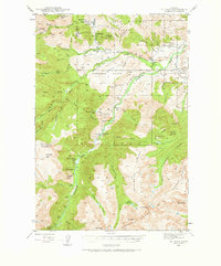
1986 Mount Wood
Stillwater County, MT
1996 Beehive
Stillwater County, MT
1996 Cathedral Point
Stillwater County, MT
1996 Emerald Lake
Stillwater County, MT
1996 Granite Peak
Stillwater County, MT
1996 Little Park Mountain
Stillwater County, MT
1996 Mount Wood
Stillwater County, MT
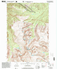
2024 Antelope Point
Stillwater County, MT
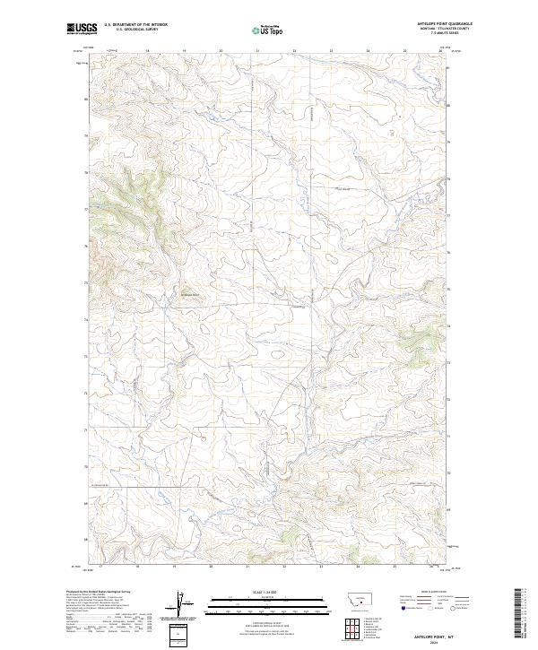
2024 Battle Butte
Stillwater County, MT
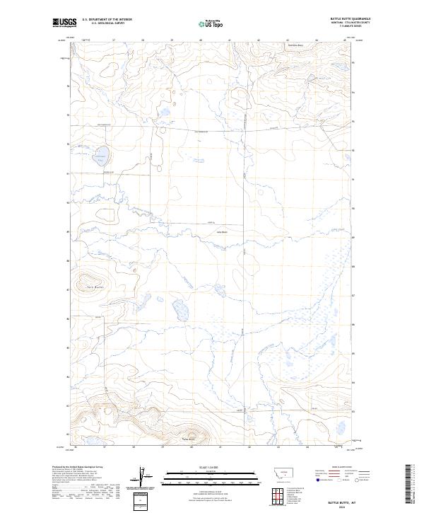
2024 Beehive
Stillwater County, MT
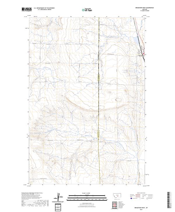
2024 Broadview West
Stillwater County, MT
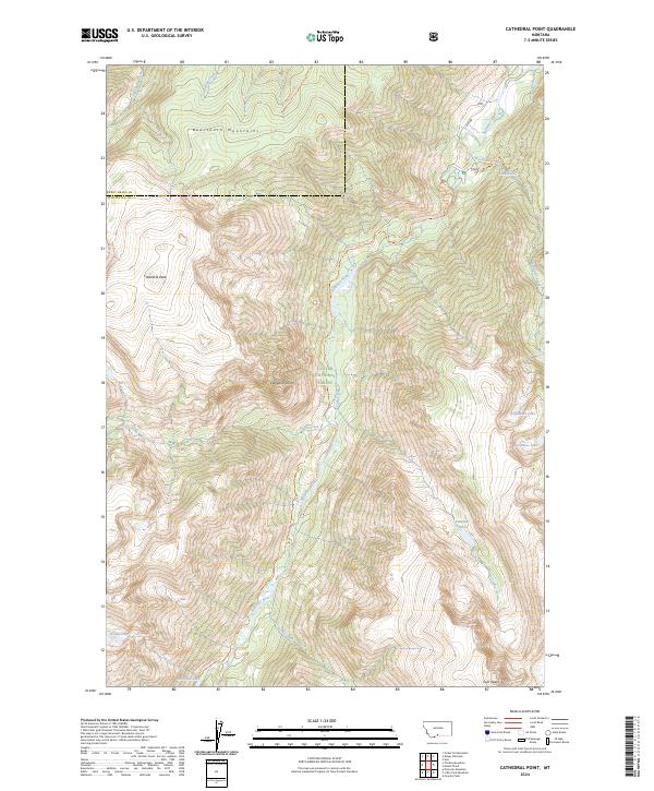
2024 Cathedral Point
Stillwater County, MT
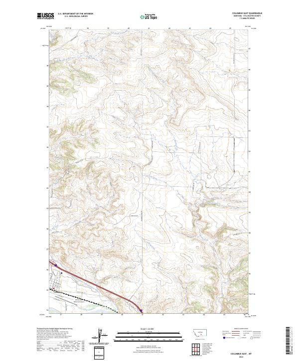
2024 Columbus East
Stillwater County, MT
2024 Columbus West
Stillwater County, MT
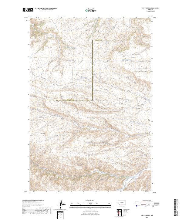
2024 Cow Face Hill
Stillwater County, MT
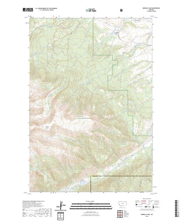
2024 Emerald Lake
Stillwater County, MT
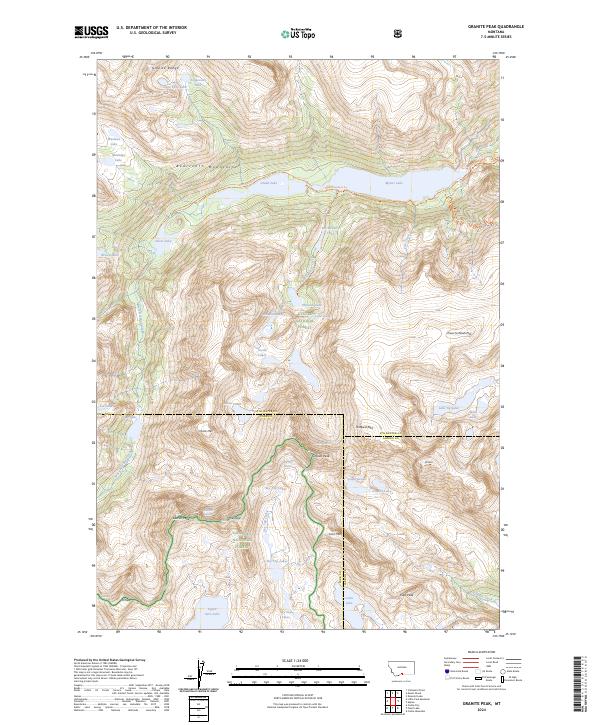
2024 Granite Peak
Stillwater County, MT
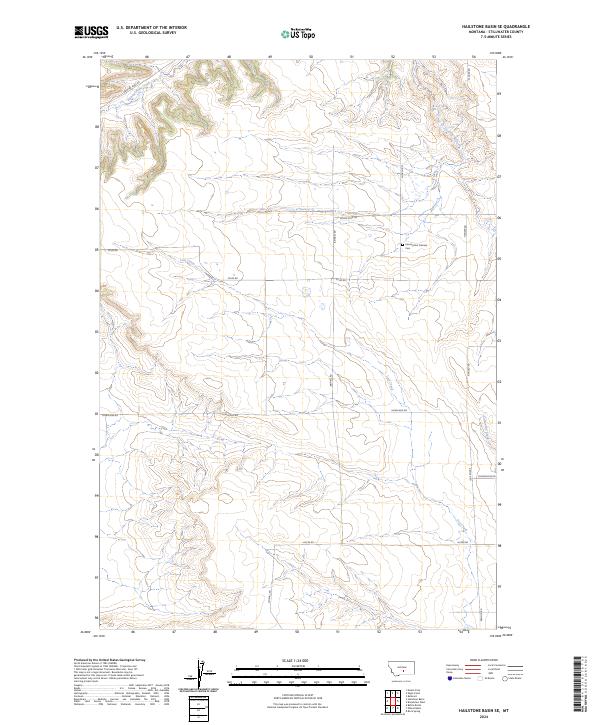
2024 Hailstone Basin SE
Stillwater County, MT
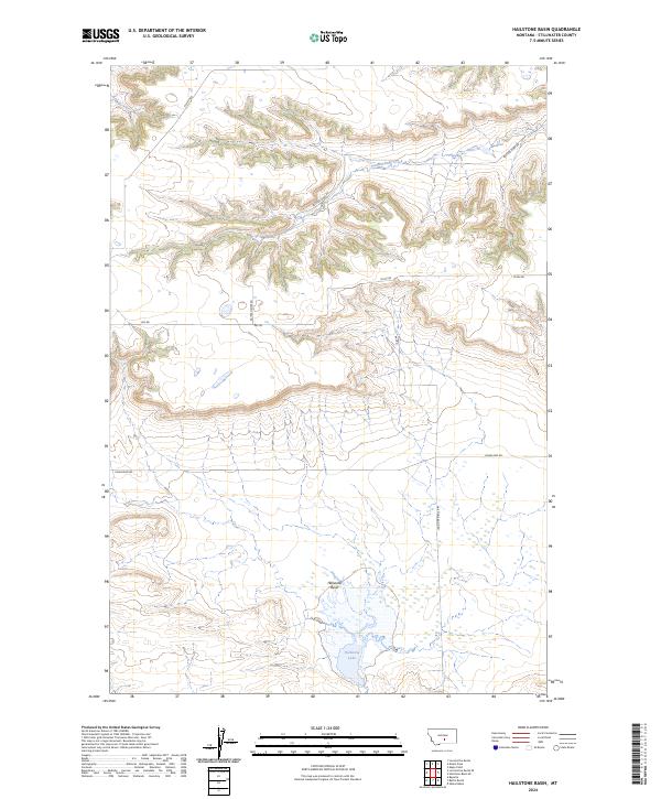
2024 Hailstone Basin
Stillwater County, MT
2024 Horse Butte
Stillwater County, MT
2024 Hunter Lake
Stillwater County, MT
2024 Lindemulder Hill
Stillwater County, MT
2024 Little Park Mountain
Stillwater County, MT
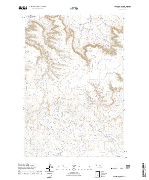
2024 Locomotive Butte SE
Stillwater County, MT
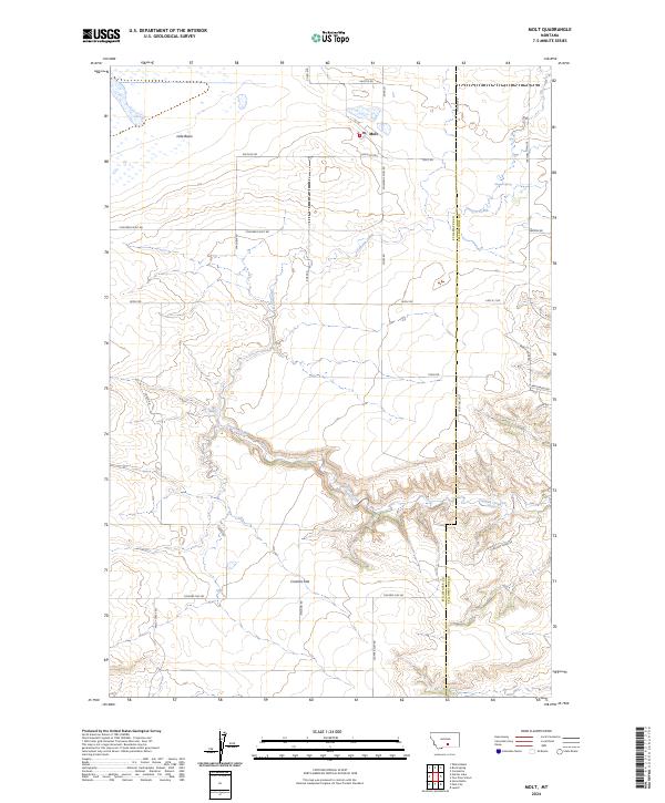
2024 Molt
Stillwater County, MT

2024 Mount Wood
Stillwater County, MT
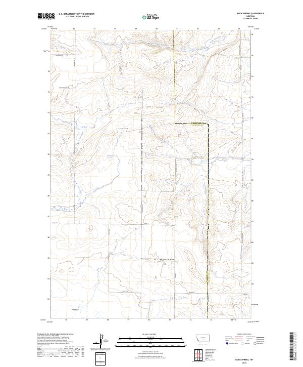
2024 Rock Spring
Stillwater County, MT
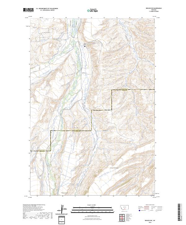
2024 Roscoe NW
Stillwater County, MT
2024 Russell Gulch
Stillwater County, MT
2024 Sandborn Creek
Stillwater County, MT
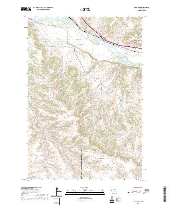
2024 Shane Ridge
Stillwater County, MT
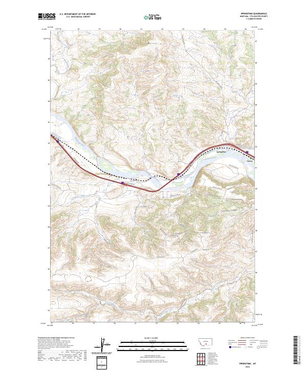
2024 Springtime
Stillwater County, MT
2024 Wheat Basin
Stillwater County, MT
2024 Wheat Basin SW
Stillwater County, MT
2024 Whitebird School
Stillwater County, MT
Featured Locations
- United States
- Stillwater County, MT
- Columbus, MT
- H and H Trailer Court, Columbus
- Valley Vista Trailer Park, Columbus