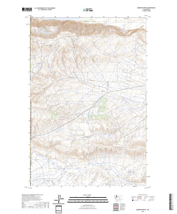
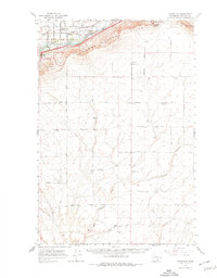
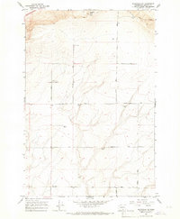
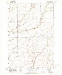
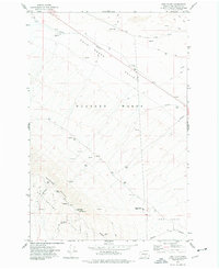
2023 Map of Emerson Nipple
USGS Topo · Published 2023About this map
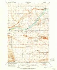
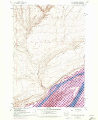
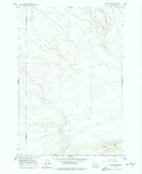
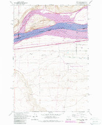
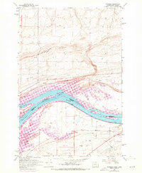
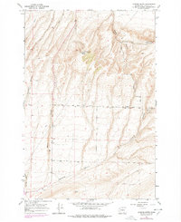
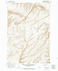
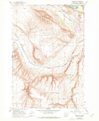
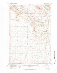
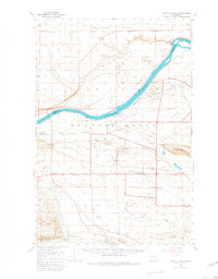
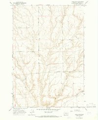
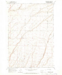
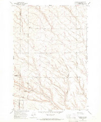
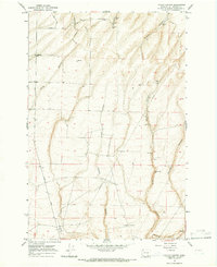
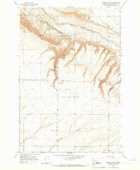
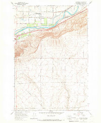
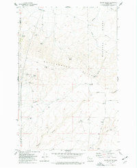
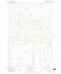
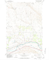
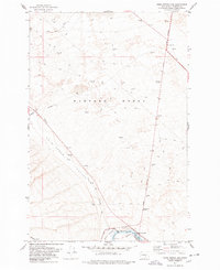
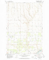
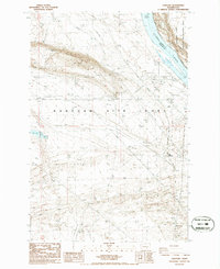
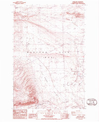
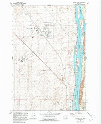
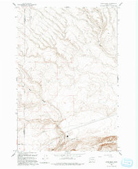
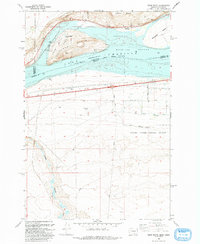
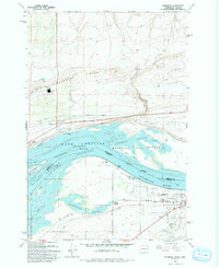
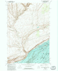
Umtanum Ridge and Yakima Ridge dominate this section of Benton County, defining a landscape of high crests and deep drainages. The area is characterized by significant conservation boundaries, including the Hanford Reach National Monument to the east and the Saddle Mountain National Wildlife Refuge along the southern edge. The central peak of Emerson Nipple serves as a prominent landmark above the surrounding basins. Water sources are scarce but critical, marked by several named points such as Juniper Springs, Wissa Spring, and Barrel Springs. This arid terrain is traversed by a network of local routes including Cold Creek Rd and Priest Rapids Rd, which follow the natural contours between the ridges. The map reveals the intersection of natural topography and federal land management in this part of Washington.
Find a feature on this map
20 named features on this map. Tap any name to fly to it.
Don’t see what you’re looking for? This feature index may not catch every label — zoom into the map to look around manually.
Map Details
Editions of this 2023 Emerson Nipple Map
This is the sole edition of this map. No revisions or reprints were ever made.
Historical Maps of Yakima County Through Time
65 maps found
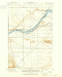
1916 Coyote Rapids
Benton County, WA
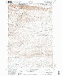
1948 Emerson Nipple
Benton County, WA
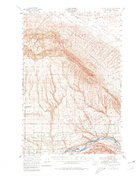
1951 Corral Canyon
Benton County, WA
1951 Coyote Rapids
Benton County, WA
1962 Blalock Island
Benton County, WA
1962 Canoe Ridge
Benton County, WA
1962 Crow Butte
Benton County, WA
1962 Paterson
Benton County, WA
1964 Johnson Butte
Benton County, WA
1964 Nine Canyon
Benton County, WA
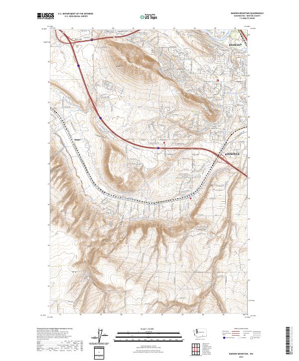
1965 Badger Mtn
Benton County, WA
1965 Badger Mtn
Benton County, WA
1965 Coyote Rapids
Benton County, WA
1965 Lenzie Ranch
Benton County, WA
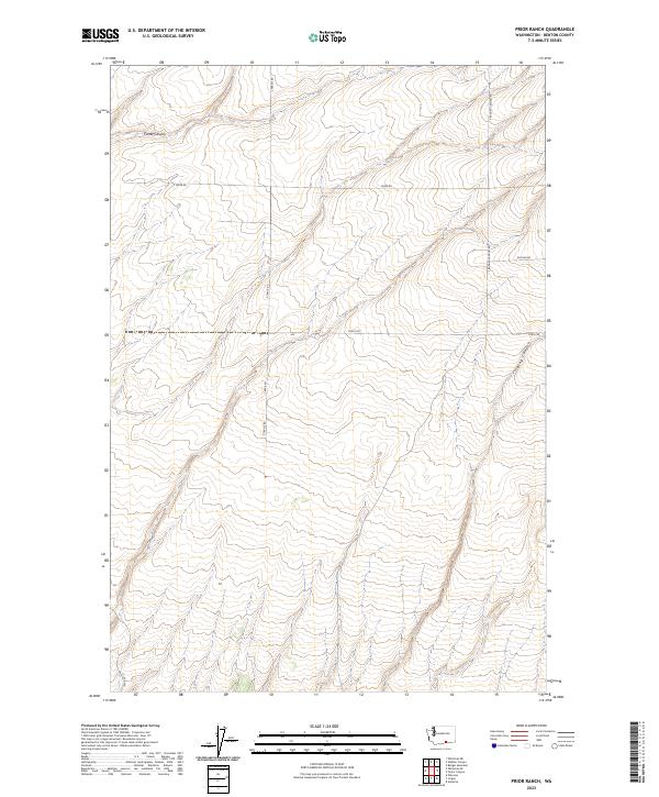
1965 Prior Ranch
Benton County, WA
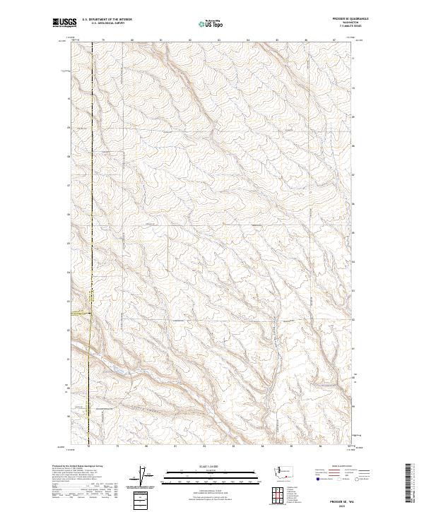
1965 Prosser SE
Benton County, WA
1965 Taylor Canyon
Benton County, WA
1965 Weber Canyon
Benton County, WA
1965 Whitstran
Benton County, WA
1965 Whitstran
Benton County, WA
1965 Whitstran NE
Benton County, WA
1965 Whitstran SE
Benton County, WA
1974 Iowa Flats
Benton County, WA
1974 Maiden Spring
Benton County, WA
1974 Snively Basin
Benton County, WA
1977 Corral Canyon
Benton County, WA
1977 Horn Rapids Dam
Benton County, WA
1977 Snipes Creek
Benton County, WA
1978 Wooden Island
Benton County, WA
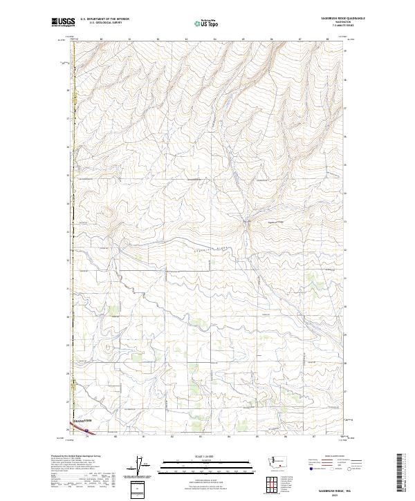
1979 Sagebrush Ridge
Benton County, WA
1986 Gable Butte
Benton County, WA
1986 Hanford
Benton County, WA
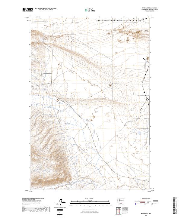
1986 Riverland
Benton County, WA
1992 Wooden Island
Benton County, WA
1993 Canoe Ridge
Benton County, WA
1993 Crow Butte
Benton County, WA
1993 Paterson
Benton County, WA
1993 West of Paterson
Benton County, WA
2023 Badger Mountain
Benton County, WA
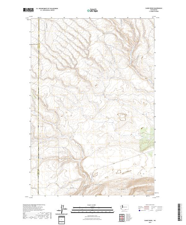
2023 Canoe Ridge
Benton County, WA
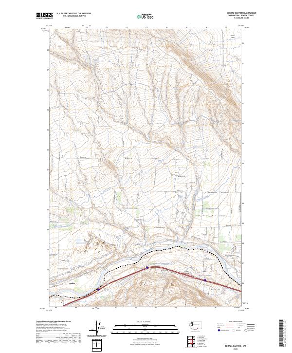
2023 Corral Canyon
Benton County, WA
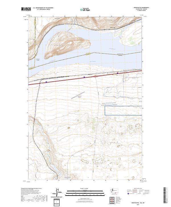
2023 Crow Butte
Benton County, WA
2023 Emerson Nipple
Benton County, WA
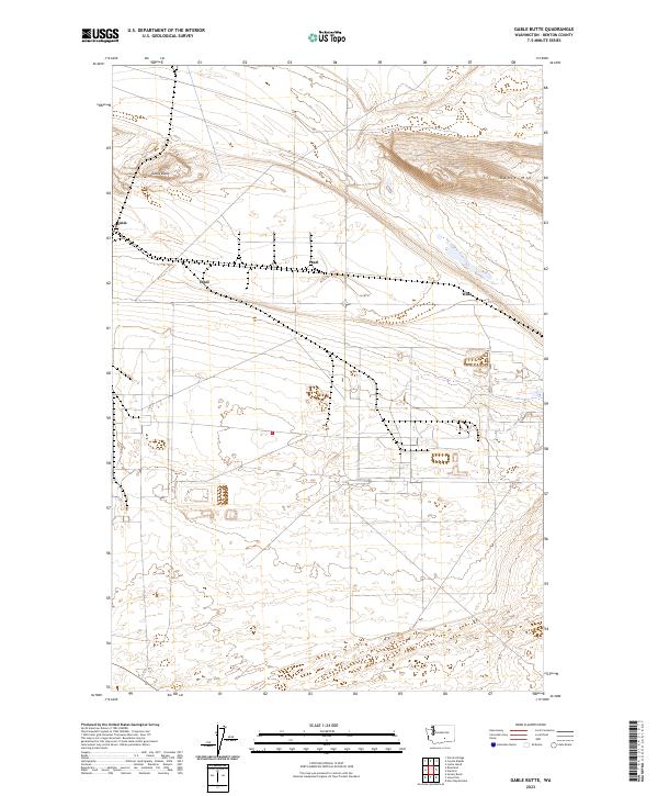
2023 Gable Butte
Benton County, WA
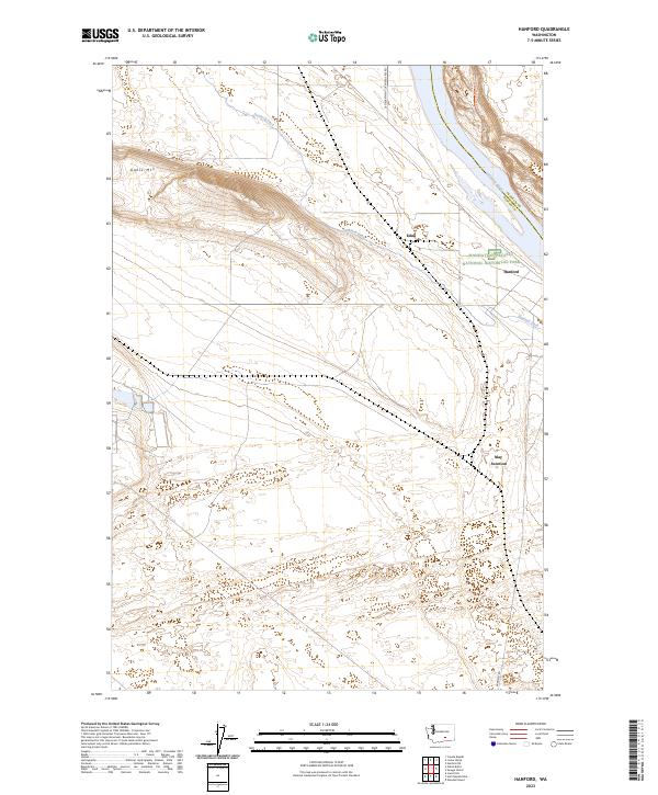
2023 Hanford
Benton County, WA
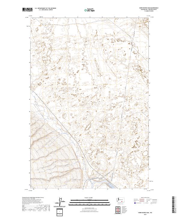
2023 Horn Rapids Dam
Benton County, WA
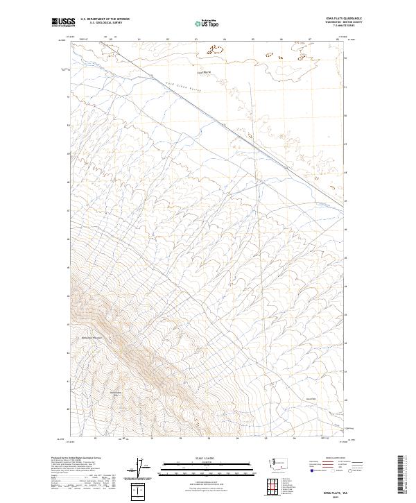
2023 Iowa Flats
Benton County, WA
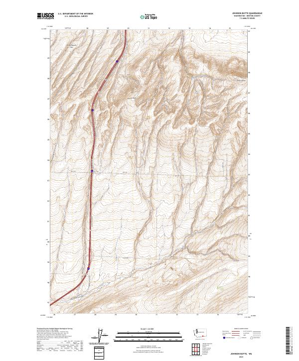
2023 Johnson Butte
Benton County, WA
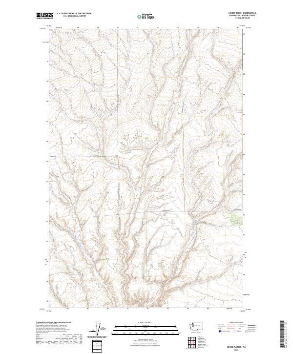
2023 Lenzie Ranch
Benton County, WA
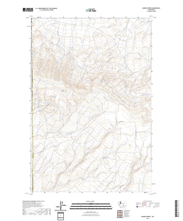
2023 Maiden Spring
Benton County, WA
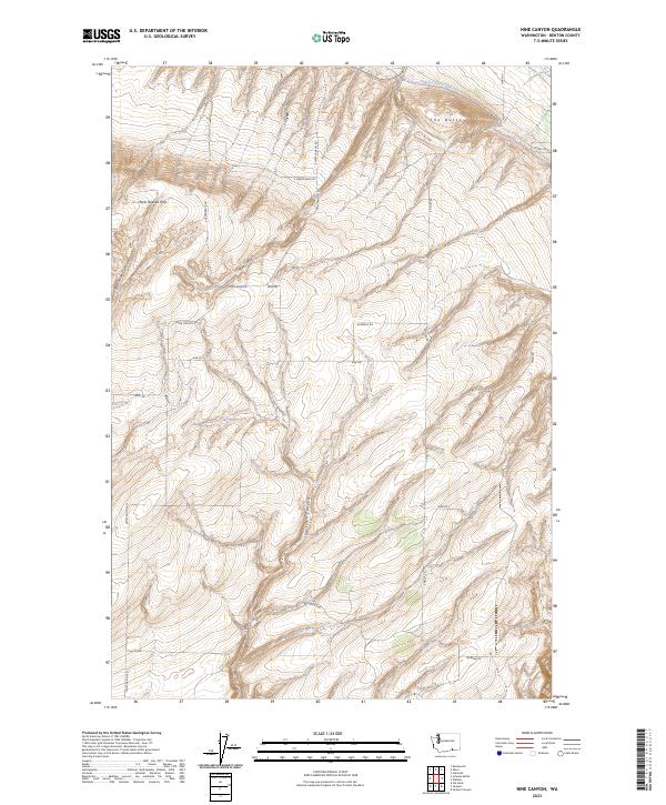
2023 Nine Canyon
Benton County, WA
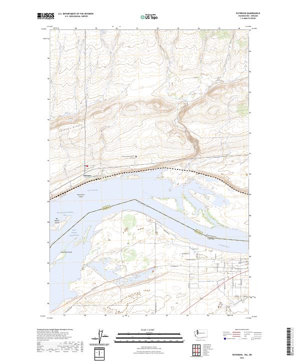
2023 Paterson
Benton County, WA
2023 Prior Ranch
Benton County, WA
2023 Prosser SE
Benton County, WA
2023 Riverland
Benton County, WA
2023 Sagebrush Ridge
Benton County, WA
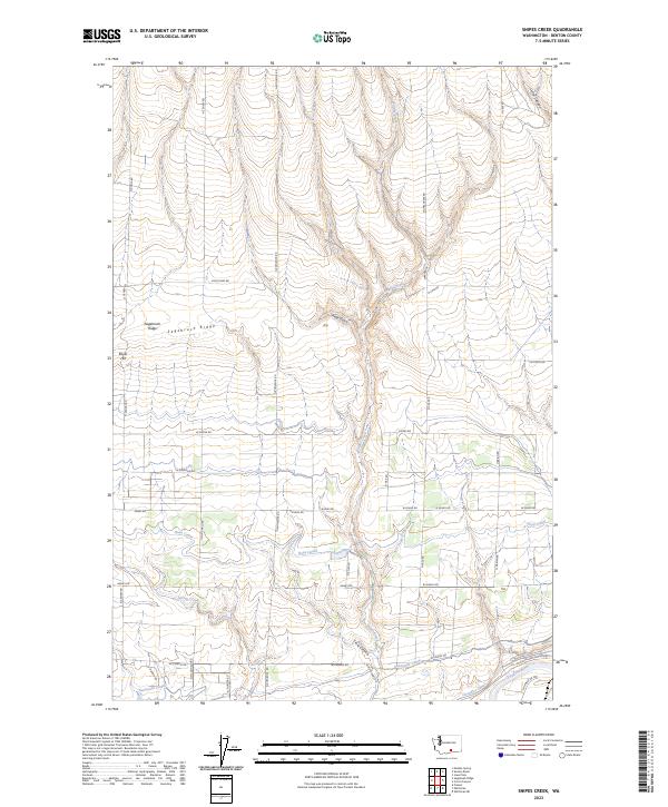
2023 Snipes Creek
Benton County, WA
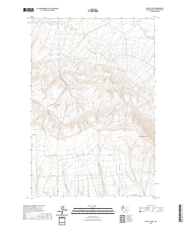
2023 Snively Basin
Benton County, WA
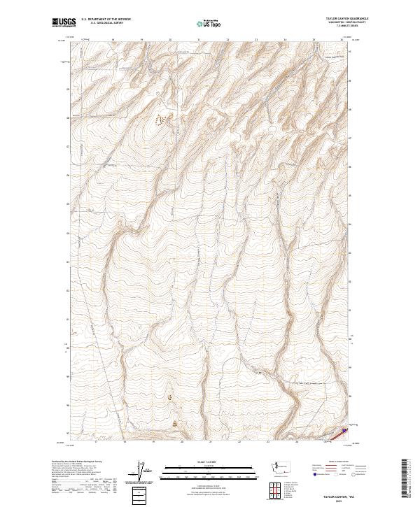
2023 Taylor Canyon
Benton County, WA
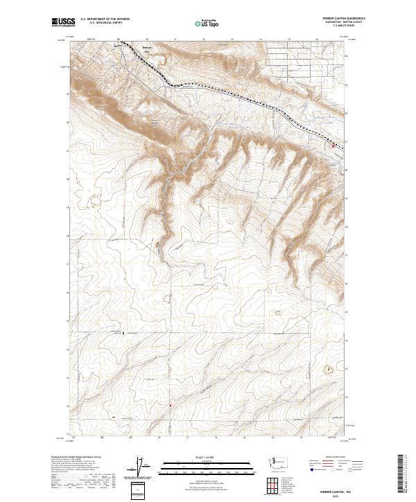
2023 Webber Canyon
Benton County, WA
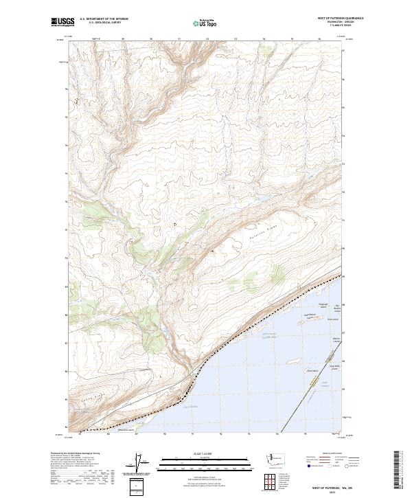
2023 West of Paterson
Benton County, WA
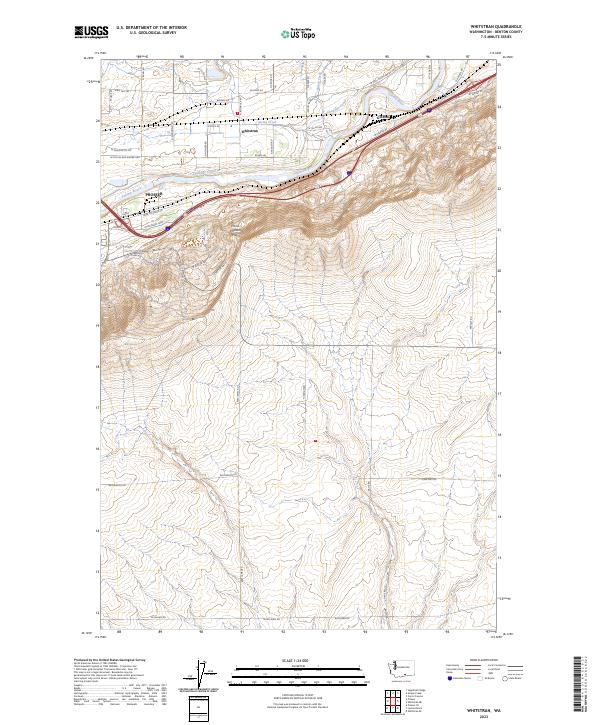
2023 Whitstran
Benton County, WA

2023 Whitstran NE
Benton County, WA
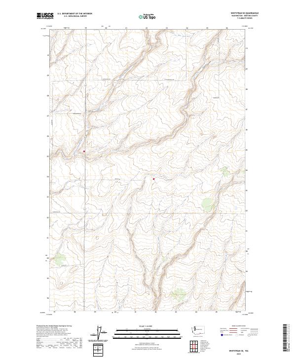
2023 Whitstran SE
Benton County, WA
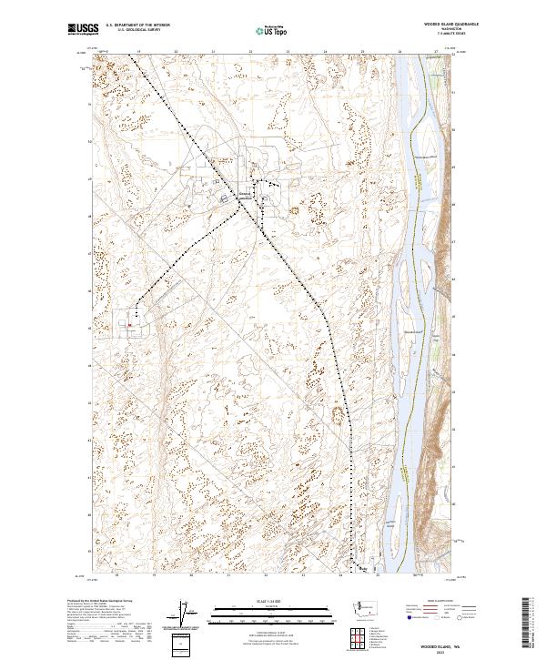
2023 Wooded Island
Benton County, WA