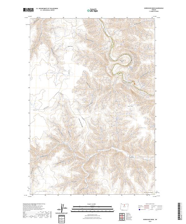
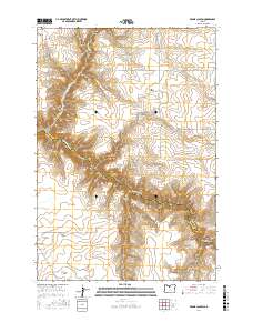
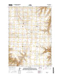
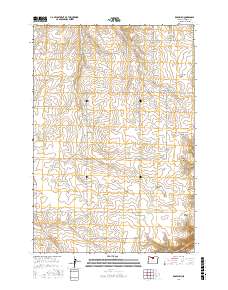
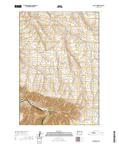
2024 Map of Horseshoe Bend
USGS Topo · Published 2024About this map
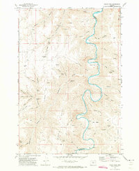
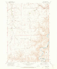
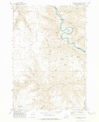
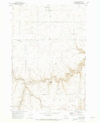
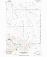
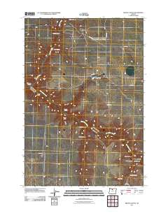
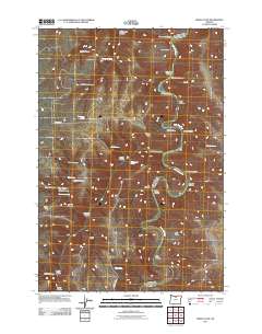
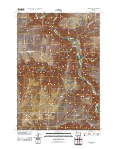
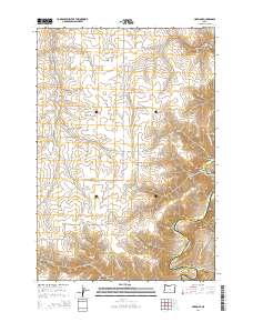
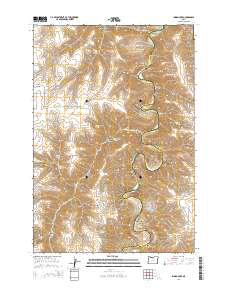
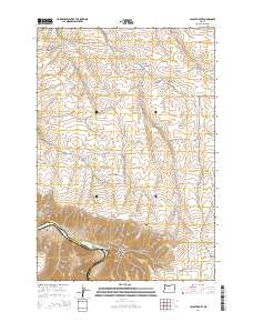
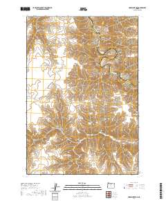
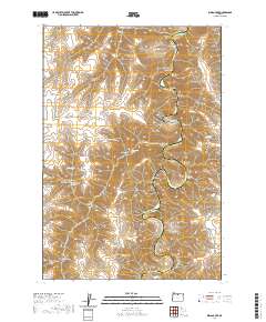
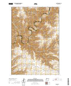
The John Day River carves a dramatic serpentine path through the high desert of Central Oregon, defining the boundary between Sherman and Gilliam counties. This 2024 survey captures the river's namesake Horseshoe Bend and the surrounding network of canyons that drain into this protected waterway, including Kelsey Canyon, Jackknife Canyon, and Combine Canyon. The landscape is dominated by high ridges and peaks such as Wolf Mtn, Adobe Point, and North Pole Ridge. While modern roads like Dobie Pt Rd and McInnes Rd provide access to these remote reaches, the map records numerous water sources vital to the region's ranching history, such as Horse Pasture Spring, Stakely Spring, and Warren Spring. This document serves as a modern record of a landscape defined by its deep canyons and critical river access points.
Find a feature on this map
38 named features on this map. Tap any name to fly to it.
Don’t see what you’re looking for? This feature index may not catch every label — zoom into the map to look around manually.
Map Details
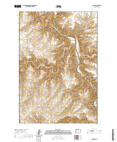
Editions of this 2024 Horseshoe Bend Map
This is the sole edition of this map. No revisions or reprints were ever made.
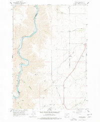
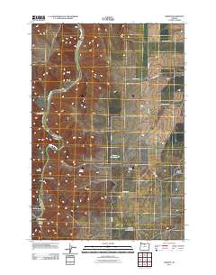
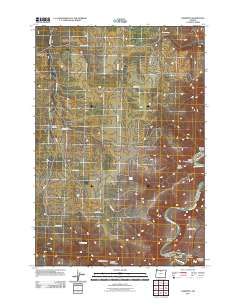
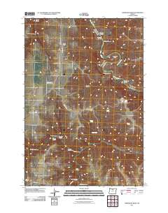
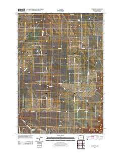
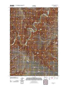
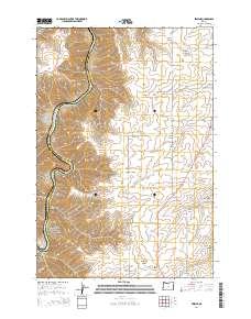
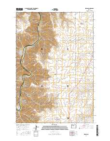
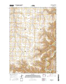
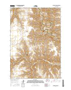
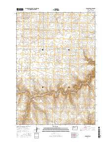
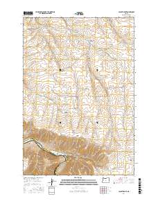
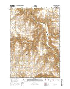
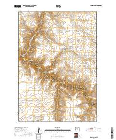
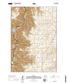
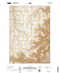
Historical Maps of Sherman County Through Time
66 maps found
1962 Erskine
Sherman County, OR
1962 Sinamox
Sherman County, OR
1964 Mc Donald
Sherman County, OR
1970 Indian Cove
Sherman County, OR
1970 Kent
Sherman County, OR
1970 Rosebush
Sherman County, OR
1971 Bronx Canyon
Sherman County, OR
1971 Harmony
Sherman County, OR
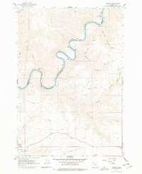
1971 Horseshoe Bend
Sherman County, OR
1971 Klondike
Sherman County, OR
1974 Locust Grove
Sherman County, OR
2011 Bronx Canyon
Sherman County, OR
2011 Erskine
Sherman County, OR
2011 Harmony
Sherman County, OR
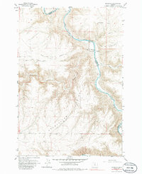
2011 Horseshoe Bend
Sherman County, OR
2011 Indian Cove
Sherman County, OR
2011 Kent
Sherman County, OR
2011 Klondike
Sherman County, OR
2011 Locust Grove
Sherman County, OR
2011 McDonald
Sherman County, OR
2011 Rosebush
Sherman County, OR
2011 Sinamox
Sherman County, OR

2014 Bronx Canyon
Sherman County, OR
2014 Erskine
Sherman County, OR
2014 Harmony
Sherman County, OR

2014 Horseshoe Bend
Sherman County, OR
2014 Indian Cove
Sherman County, OR
2014 Kent
Sherman County, OR
2014 Klondike
Sherman County, OR
2014 Locust Grove
Sherman County, OR
2014 McDonald
Sherman County, OR
2014 Rosebush
Sherman County, OR
2014 Sinamox
Sherman County, OR
2017 Bronx Canyon
Sherman County, OR
2017 Erskine
Sherman County, OR
2017 Harmony
Sherman County, OR
2017 Horseshoe Bend
Sherman County, OR

2017 Indian Cove
Sherman County, OR
2017 Kent
Sherman County, OR
2017 Klondike
Sherman County, OR
2017 Locust Grove
Sherman County, OR
2017 McDonald
Sherman County, OR
2017 Rosebush
Sherman County, OR

2017 Sinamox
Sherman County, OR
2020 Bronx Canyon
Sherman County, OR
2020 Erskine
Sherman County, OR
2020 Harmony
Sherman County, OR
2020 Horseshoe Bend
Sherman County, OR
2020 Indian Cove
Sherman County, OR
2020 Kent
Sherman County, OR
2020 Klondike
Sherman County, OR
2020 Locust Grove
Sherman County, OR
2020 McDonald
Sherman County, OR
2020 Rosebush
Sherman County, OR
2020 Sinamox
Sherman County, OR
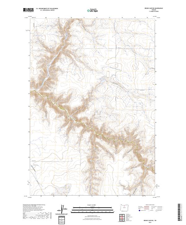
2023 Bronx Canyon
Sherman County, OR
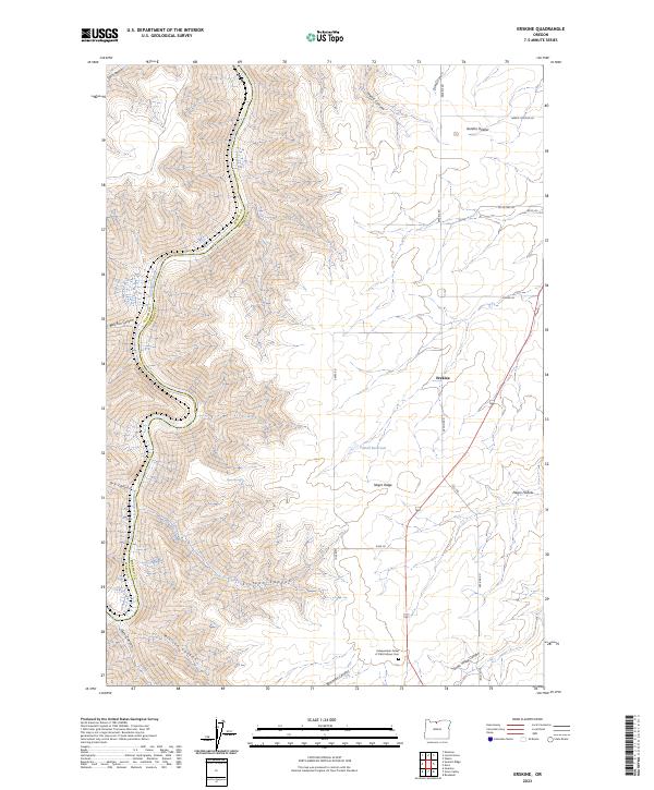
2023 Erskine
Sherman County, OR
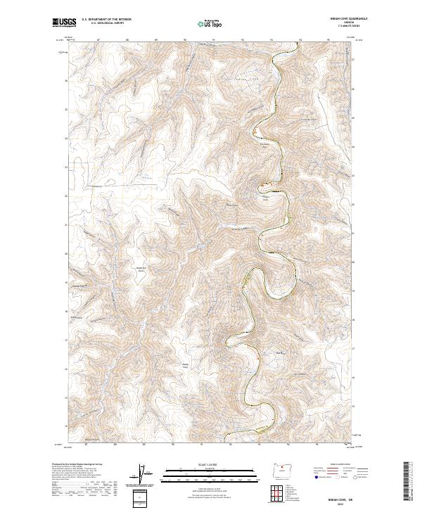
2023 Indian Cove
Sherman County, OR
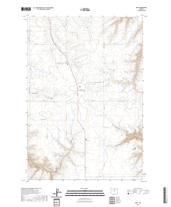
2023 Kent
Sherman County, OR
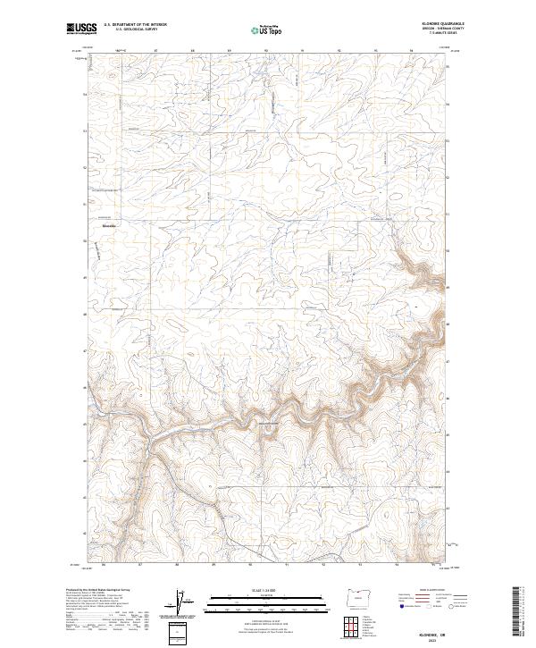
2023 Klondike
Sherman County, OR
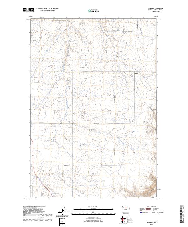
2023 Rosebush
Sherman County, OR
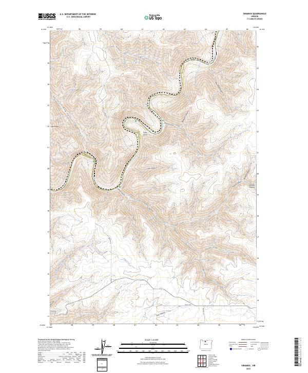
2023 Sinamox
Sherman County, OR
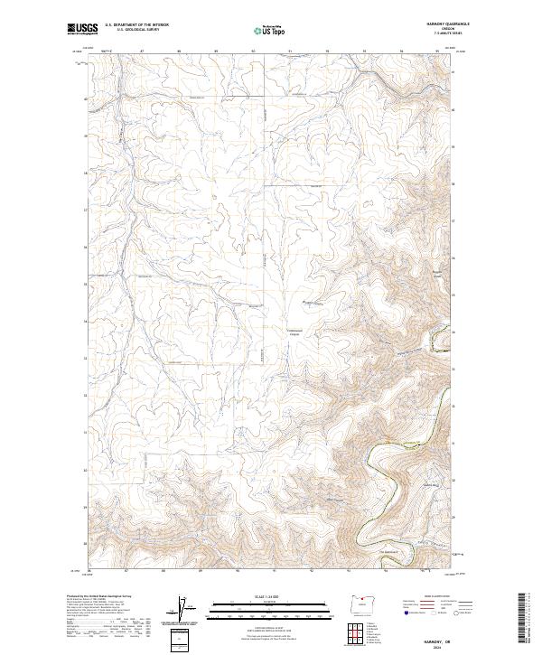
2024 Harmony
Sherman County, OR
2024 Horseshoe Bend
Sherman County, OR
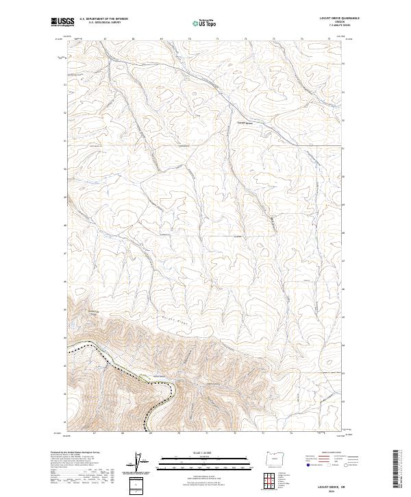
2024 Locust Grove
Sherman County, OR
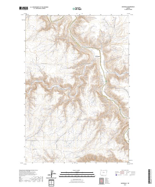
2024 McDonald
Sherman County, OR