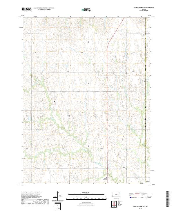
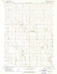
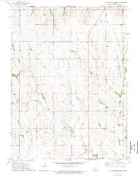
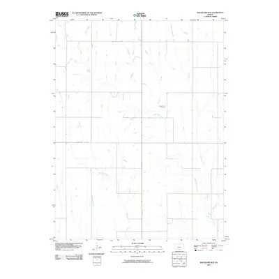
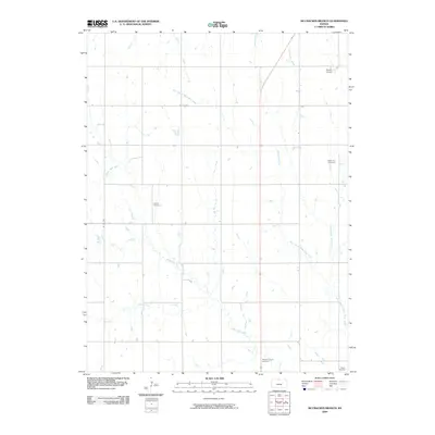
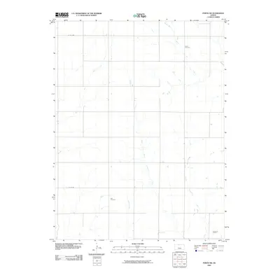
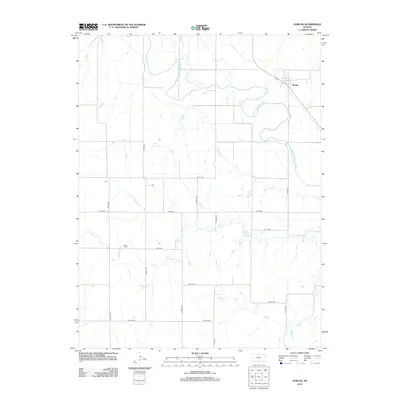
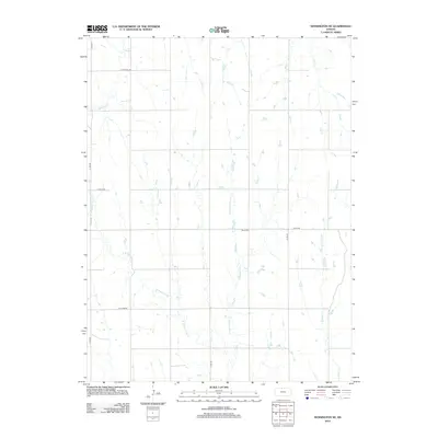
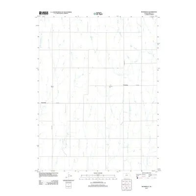
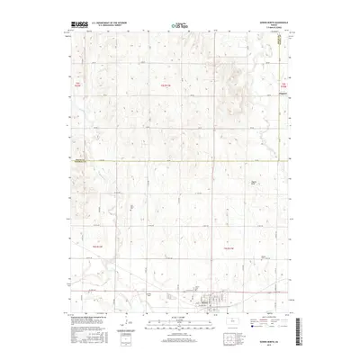
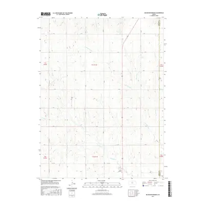
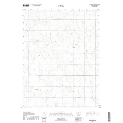
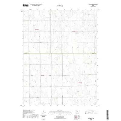
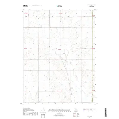
2022 Map of McCracken Branch
USGS Topo · Published 2022About this map
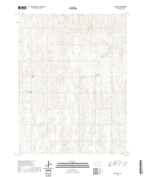
White Rock Creek and its many tributaries, including North Branch White Rock Creek and the eponymous McCracken Branch, carve a complex drainage pattern across this section of the Kansas plains. The landscape is defined by the rigid North American Public Land Survey System, where a grid of section lines and rural routes like 80 Road and AA Road overlay the natural contours of the Republican River watershed. This intersection of natural hydrology and human geometry is punctuated by remote rural burial grounds, including Webb Hill Cemetery on the eastern edge and Pleasant Plains Cemetery to the south. These small, scattered landmarks, along with Oriole Cemetery, serve as quiet markers of the early agrarian families who settled the divide between the Pawnee Creek and the headwaters of the Penny Creeks.
Find a feature on this map
37 named features on this map. Tap any name to fly to it.
Don’t see what you’re looking for? This feature index may not catch every label — zoom into the map to look around manually.
Map Details
Editions of this 2022 McCracken Branch Map
This is the sole edition of this map. No revisions or reprints were ever made.
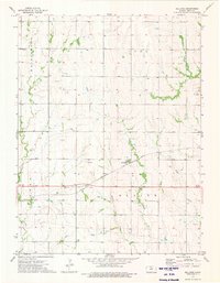
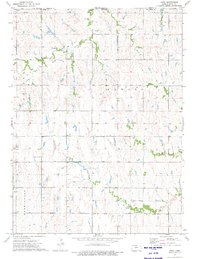
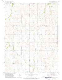
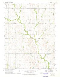
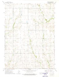
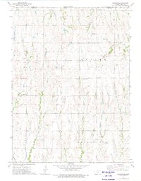
Historical Maps of Jewell County Through Time
66 maps found
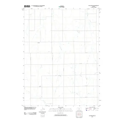
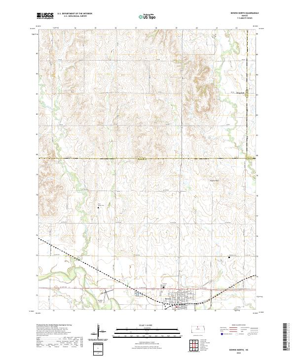
1960 Downs North
Smith County, KS
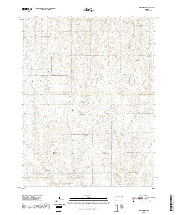
1961 Gaylord SW
Smith County, KS
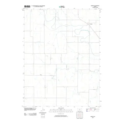
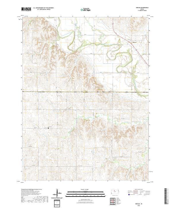
1961 Harlan
Smith County, KS
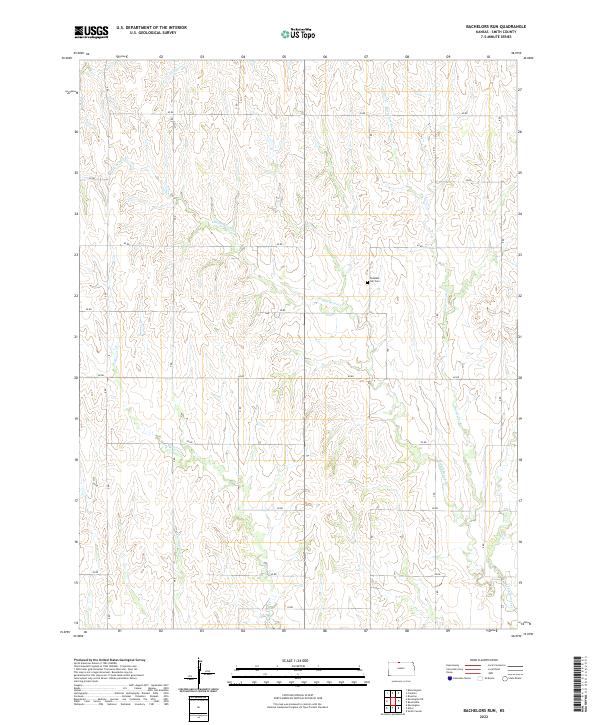
1973 Bachelors Run
Smith County, KS
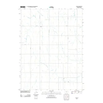
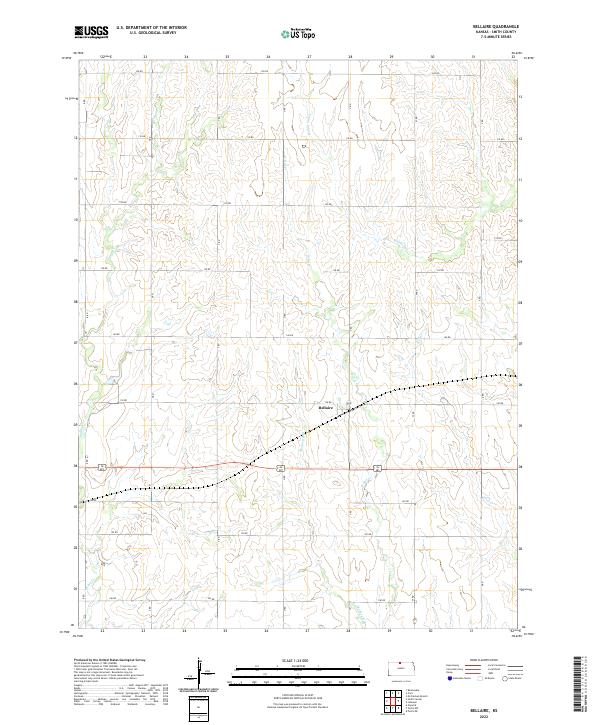
1973 Bellaire
Smith County, KS
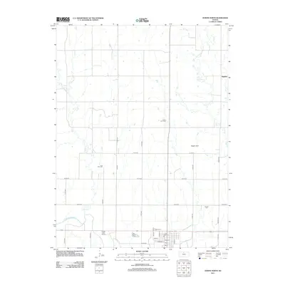
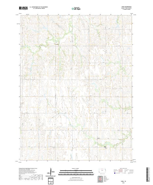
1973 Cora
Smith County, KS
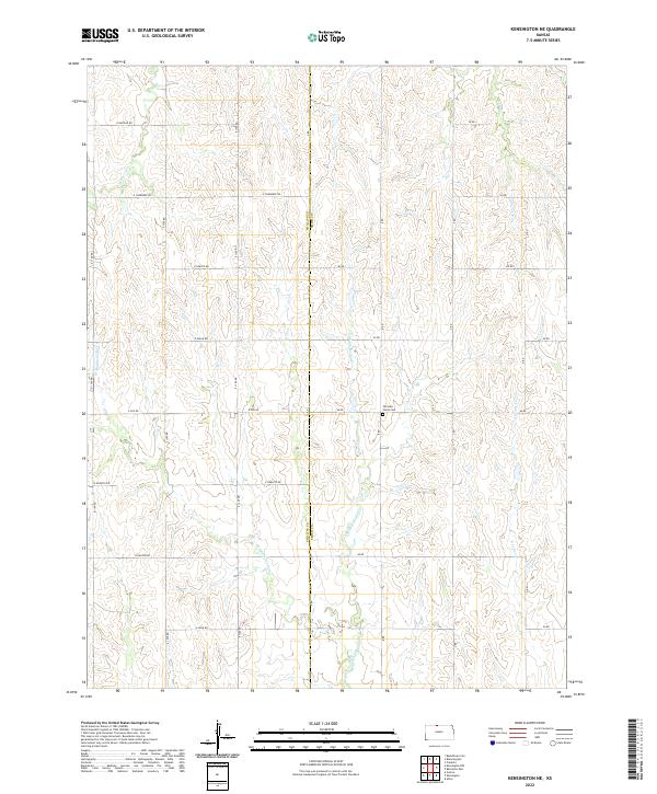
1973 Kensington NE
Smith County, KS
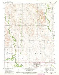
1973 Mc Cracken Branch
Smith County, KS
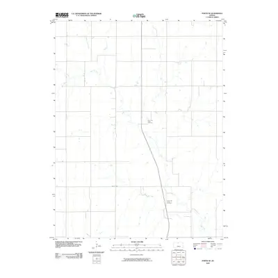
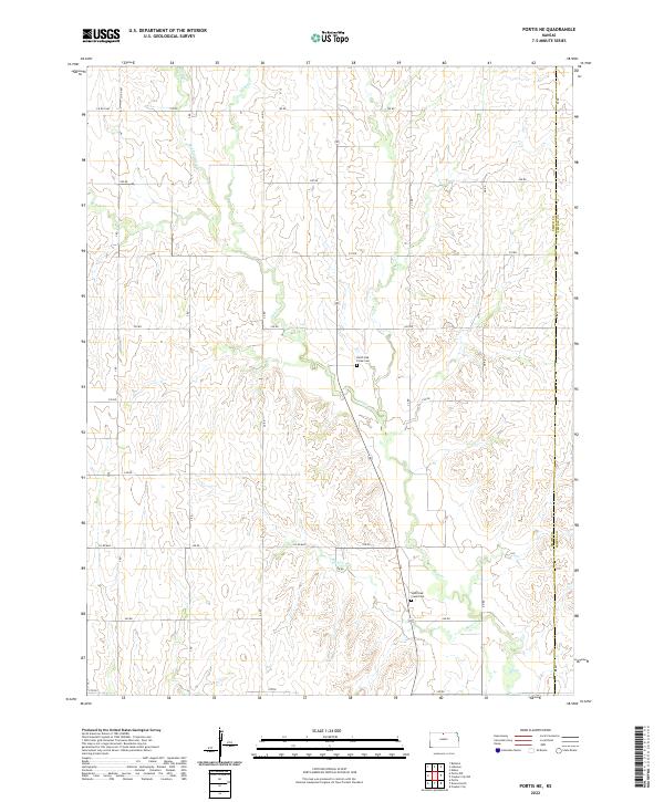
1973 Portis NE
Smith County, KS
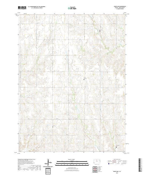
1973 Portis NW
Smith County, KS
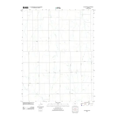
1973 Reamsville
Smith County, KS
2009 Bachelors Run
Smith County, KS
2009 Bellaire
Smith County, KS
2009 Cora
Smith County, KS
2009 Downs North
Smith County, KS
2009 Gaylord SW
Smith County, KS
2009 Harlan
Smith County, KS

2009 Kensington NE
Smith County, KS
2009 McCracken Branch
Smith County, KS
2009 Portis NE
Smith County, KS
2009 Portis NW
Smith County, KS
2009 Reamsville
Smith County, KS
2012 Bachelors Run
Smith County, KS
2012 Bellaire
Smith County, KS
2012 Cora
Smith County, KS
2012 Downs North
Smith County, KS
2012 Gaylord SW
Smith County, KS
2012 Harlan
Smith County, KS
2012 Kensington NE
Smith County, KS
2012 McCracken Branch
Smith County, KS
2012 Portis NE
Smith County, KS
2012 Portis NW
Smith County, KS
2012 Reamsville
Smith County, KS
2015 Bachelors Run
Smith County, KS
2015 Bellaire
Smith County, KS
2015 Cora
Smith County, KS
2015 Downs North
Smith County, KS
2015 Gaylord SW
Smith County, KS
2015 Harlan
Smith County, KS
2015 Kensington NE
Smith County, KS
2015 McCracken Branch
Smith County, KS
2015 Portis NE
Smith County, KS
2015 Portis NW
Smith County, KS
2015 Reamsville
Smith County, KS
2018 Bachelors Run
Smith County, KS
2018 Bellaire
Smith County, KS
2018 Cora
Smith County, KS
2018 Downs North
Smith County, KS
2018 Gaylord SW
Smith County, KS
2018 Harlan
Smith County, KS
2018 Kensington NE
Smith County, KS
2018 McCracken Branch
Smith County, KS
2018 Portis NE
Smith County, KS
2018 Portis NW
Smith County, KS
2018 Reamsville
Smith County, KS
2022 Bachelors Run
Smith County, KS
2022 Bellaire
Smith County, KS
2022 Cora
Smith County, KS
2022 Downs North
Smith County, KS
2022 Gaylord SW
Smith County, KS
2022 Harlan
Smith County, KS
2022 Kensington NE
Smith County, KS
2022 McCracken Branch
Smith County, KS
2022 Portis NE
Smith County, KS
2022 Portis NW
Smith County, KS
2022 Reamsville
Smith County, KS