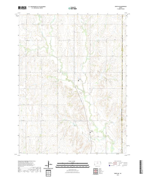
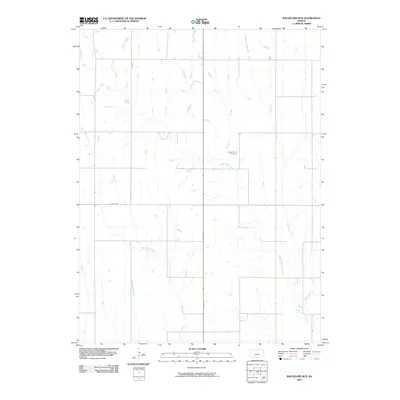
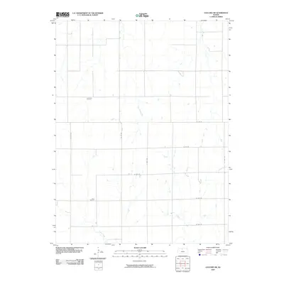
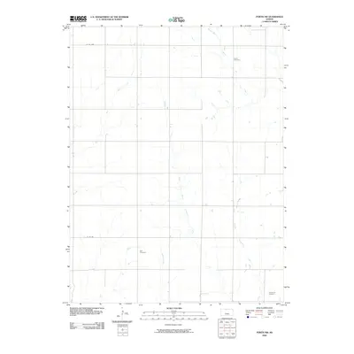
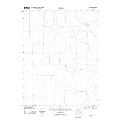
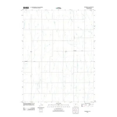
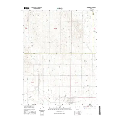
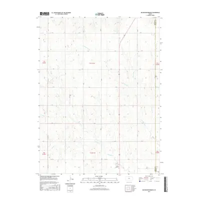
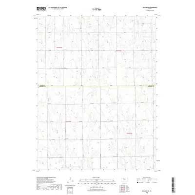
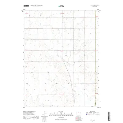
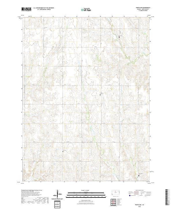
2022 Map of Portis NE
USGS Topo · Published 2022About this map
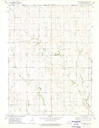
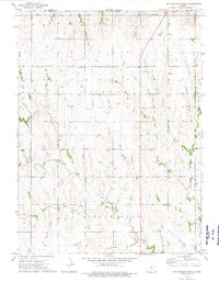
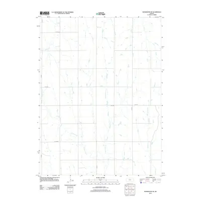
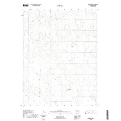
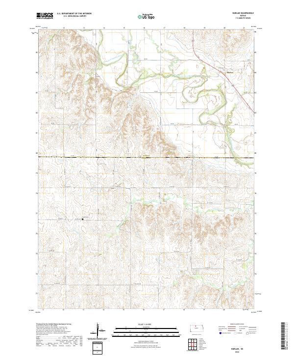
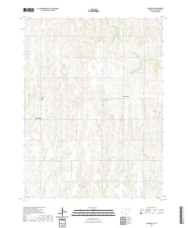
North Kansas ranchland and agricultural fields are deeply incised by the drainage network of Oak Cr and its many branches in this northern Smith County landscape. The area is defined by a grid of section roads, including 250 RD and 260 RD, which navigate the undulating terrain between the creek valleys. Evidence of the region’s long-standing rural community is preserved at the North Oak Creek Cem and South Oak Creek Cem, both located near the winding path of Oak Cr. The eastern edge of the map follows the Smith Co Jewell Co line, where the topography transitions toward the watershed of Buck Cr. This 2022 survey provides a clear view of the modern rural infrastructure, showing the persistence of traditional family-named water bodies like Frog Cr and Middle Oak Cr in a landscape primarily dedicated to cattle and crops.
Find a feature on this map
30 named features on this map. Tap any name to fly to it.
Don’t see what you’re looking for? This feature index may not catch every label — zoom into the map to look around manually.
Map Details
Editions of this 2022 Portis NE Map
This is the sole edition of this map. No revisions or reprints were ever made.
Historical Maps of Jewell County Through Time
66 maps found
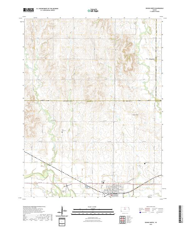
1960 Downs North
Smith County, KS
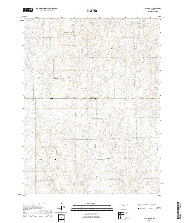
1961 Gaylord SW
Smith County, KS
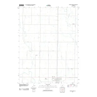
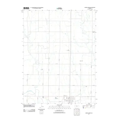
1961 Harlan
Smith County, KS
1973 Bachelors Run
Smith County, KS
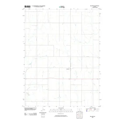
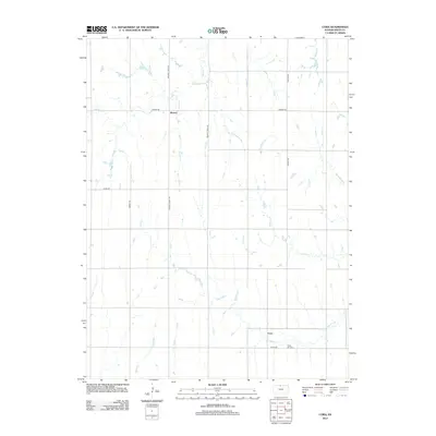
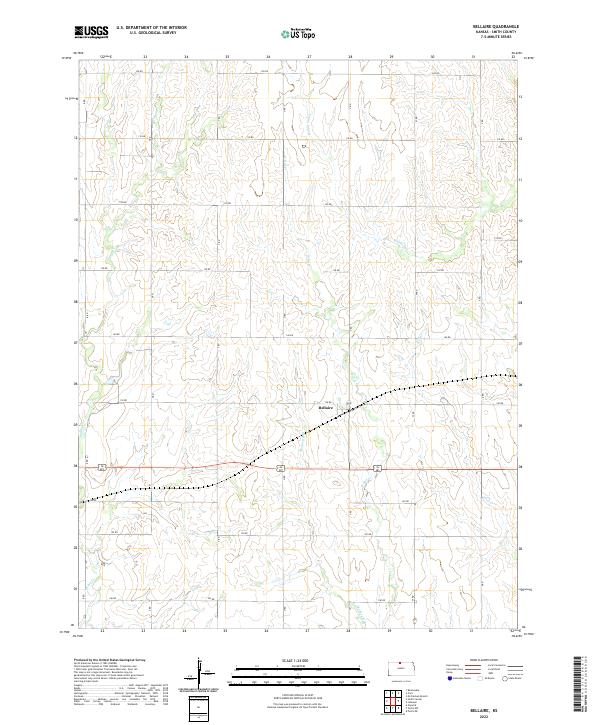
1973 Bellaire
Smith County, KS
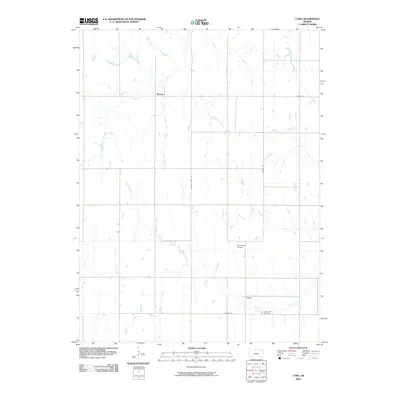
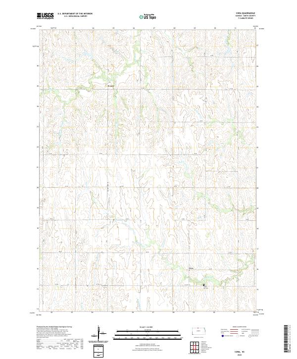
1973 Cora
Smith County, KS
1973 Kensington NE
Smith County, KS
1973 Mc Cracken Branch
Smith County, KS
1973 Portis NE
Smith County, KS
1973 Portis NW
Smith County, KS
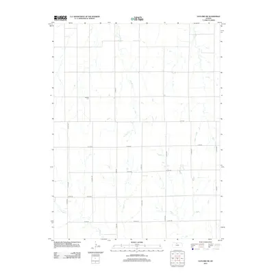
1973 Reamsville
Smith County, KS
2009 Bachelors Run
Smith County, KS
2009 Bellaire
Smith County, KS
2009 Cora
Smith County, KS
2009 Downs North
Smith County, KS
2009 Gaylord SW
Smith County, KS
2009 Harlan
Smith County, KS

2009 Kensington NE
Smith County, KS
2009 McCracken Branch
Smith County, KS
2009 Portis NE
Smith County, KS
2009 Portis NW
Smith County, KS
2009 Reamsville
Smith County, KS
2012 Bachelors Run
Smith County, KS
2012 Bellaire
Smith County, KS
2012 Cora
Smith County, KS
2012 Downs North
Smith County, KS
2012 Gaylord SW
Smith County, KS
2012 Harlan
Smith County, KS
2012 Kensington NE
Smith County, KS
2012 McCracken Branch
Smith County, KS
2012 Portis NE
Smith County, KS
2012 Portis NW
Smith County, KS
2012 Reamsville
Smith County, KS
2015 Bachelors Run
Smith County, KS
2015 Bellaire
Smith County, KS
2015 Cora
Smith County, KS
2015 Downs North
Smith County, KS
2015 Gaylord SW
Smith County, KS
2015 Harlan
Smith County, KS
2015 Kensington NE
Smith County, KS
2015 McCracken Branch
Smith County, KS
2015 Portis NE
Smith County, KS
2015 Portis NW
Smith County, KS
2015 Reamsville
Smith County, KS
2018 Bachelors Run
Smith County, KS
2018 Bellaire
Smith County, KS
2018 Cora
Smith County, KS
2018 Downs North
Smith County, KS
2018 Gaylord SW
Smith County, KS
2018 Harlan
Smith County, KS
2018 Kensington NE
Smith County, KS
2018 McCracken Branch
Smith County, KS
2018 Portis NE
Smith County, KS
2018 Portis NW
Smith County, KS
2018 Reamsville
Smith County, KS
2022 Bachelors Run
Smith County, KS
2022 Bellaire
Smith County, KS
2022 Cora
Smith County, KS
2022 Downs North
Smith County, KS
2022 Gaylord SW
Smith County, KS
2022 Harlan
Smith County, KS
2022 Kensington NE
Smith County, KS
2022 McCracken Branch
Smith County, KS
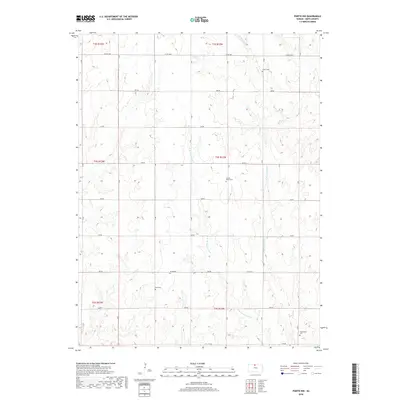
2022 Portis NE
Smith County, KS
2022 Portis NW
Smith County, KS
2022 Reamsville
Smith County, KS