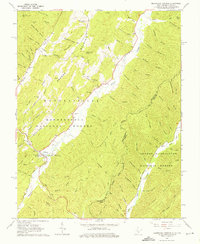
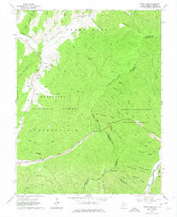
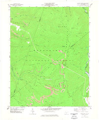
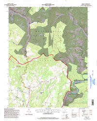
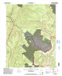
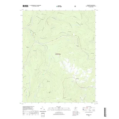
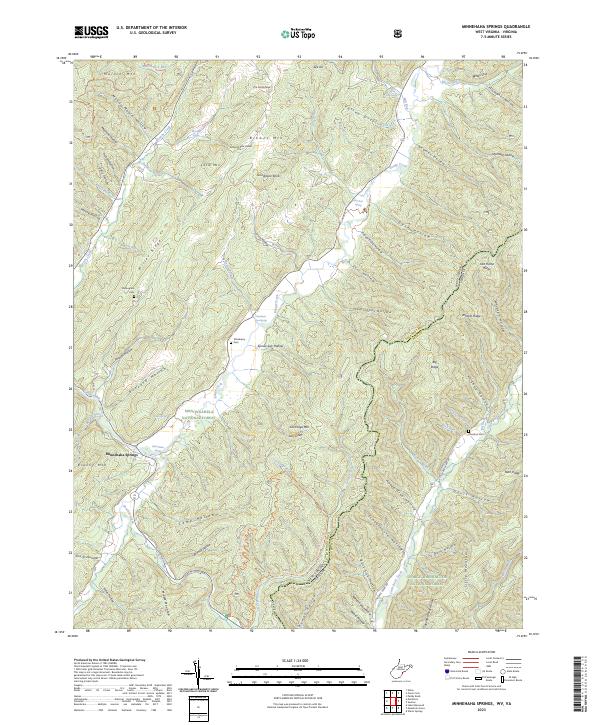
1962 Map of Minnehaha Springs
USGS Topo · Published 1975About this map
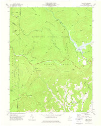
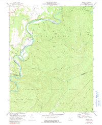
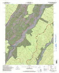
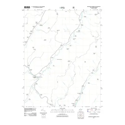
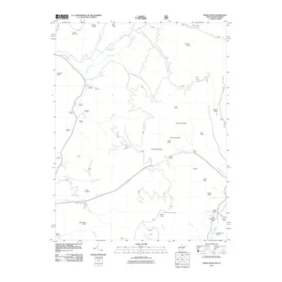
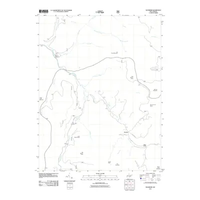
Minnehaha Springs serves as a central hub in this Appalachian landscape, located where Knapp Creek meets Brushy Run. The settlement pattern follows the narrow valley floors, hemmed in by the towering heights of Browns Mountain and Middle Mtn. This early 1960s survey captures a mix of religious and agricultural life, evidenced by several country churches including Westminster Ch and Mt Carmel Ch, alongside family-oriented burial grounds like the Shinaberry Cem.
Find a feature on this map
87 named features on this map. Tap any name to fly to it.
Don’t see what you’re looking for? This feature index may not catch every label — zoom into the map to look around manually.
Map Details
Editions of this 1962 Minnehaha Springs Map
3 editions found
Historical Maps of Minnehaha Springs Through Time
88 maps found
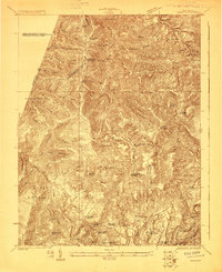
1923 Mingo
Pocahontas County, WV
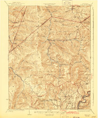
1925 Mingo
Pocahontas County, WV
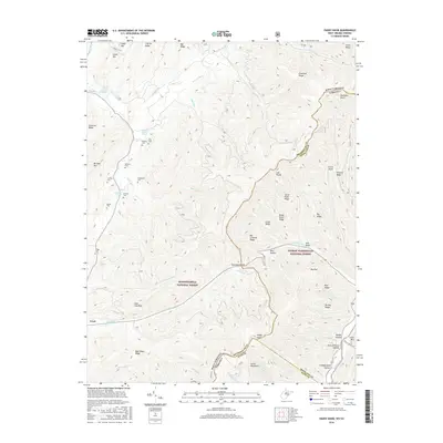
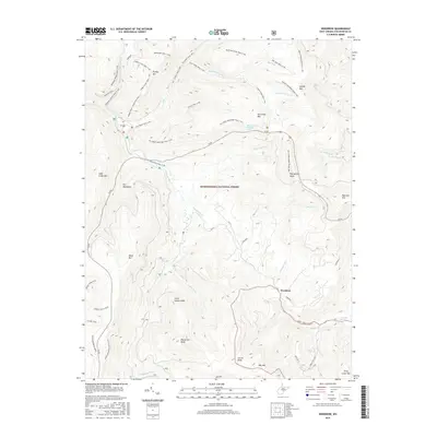
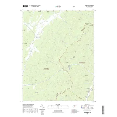
1961 Paddy Knob
Pocahontas County, WV
1962 Minnehaha Springs
Pocahontas County, WV
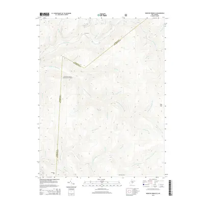
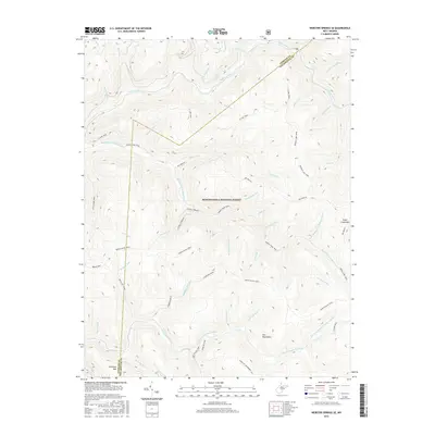
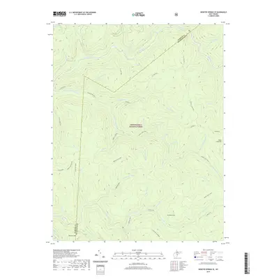
1967 Webster Springs SE
Pocahontas County, WV
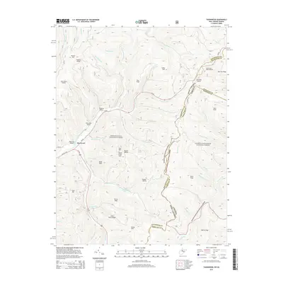
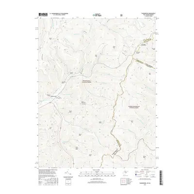
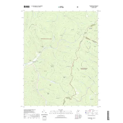
1969 Thornwood
Pocahontas County, WV
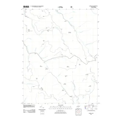
1973 Lobelia
Pocahontas County, WV
1974 Edray
Pocahontas County, WV
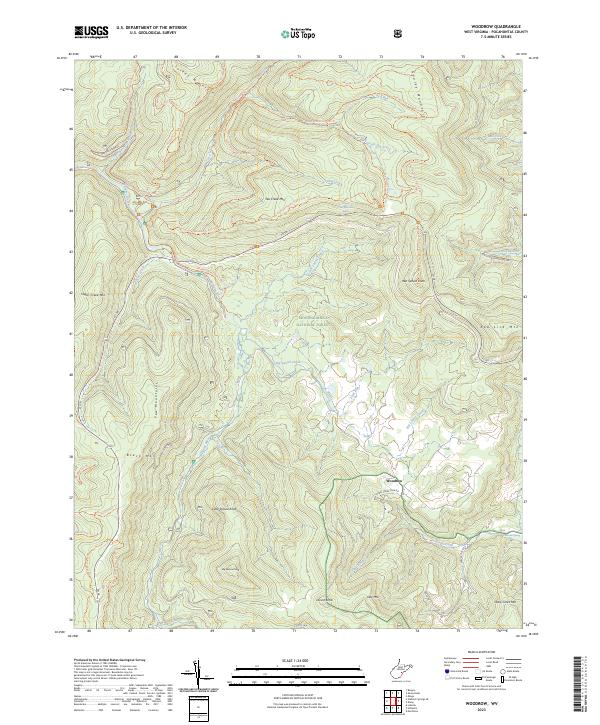
1974 Woodrow
Pocahontas County, WV
1977 Clover Lick
Pocahontas County, WV
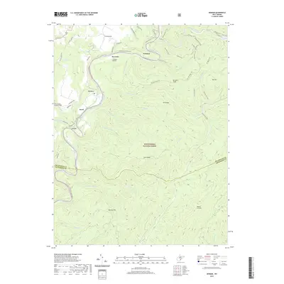
1977 Denmar
Pocahontas County, WV
1977 Edray
Pocahontas County, WV
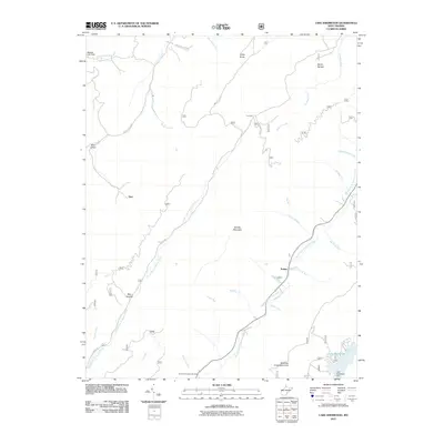
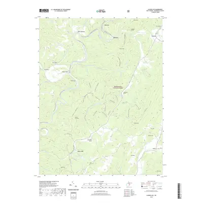
1977 Lake Sherwood
Pocahontas County, WV
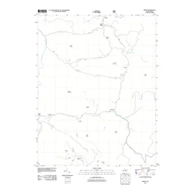
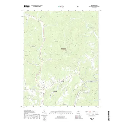
1977 Mingo
Pocahontas County, WV
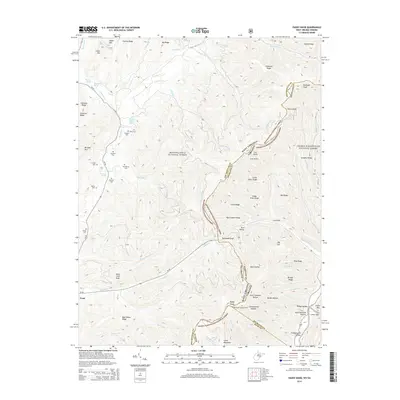
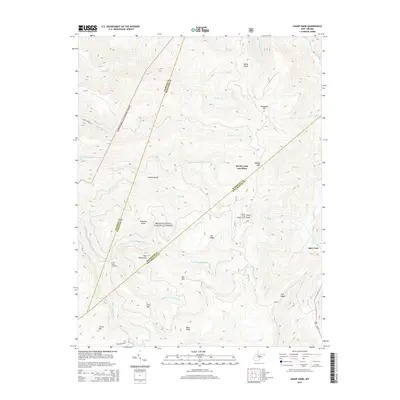
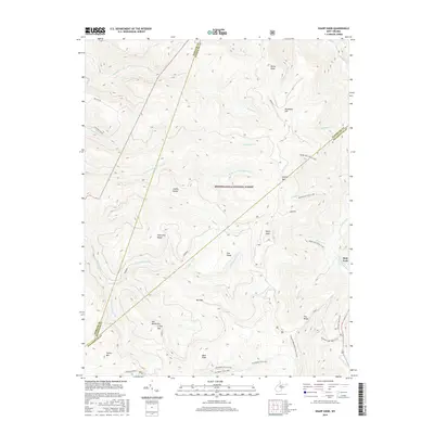
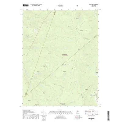
1977 Sharp Knob
Pocahontas County, WV
1977 Woodrow
Pocahontas County, WV
1995 Clover Lick
Pocahontas County, WV
1995 Denmar
Pocahontas County, WV
1995 Edray
Pocahontas County, WV
1995 Lake Sherwood
Pocahontas County, WV
1995 Lobelia
Pocahontas County, WV
1995 Mingo
Pocahontas County, WV
1995 Minnehaha Springs
Pocahontas County, WV
1995 Paddy Knob
Pocahontas County, WV
1995 Sharp Knob
Pocahontas County, WV
1995 Thornwood
Pocahontas County, WV

1995 Webster Springs SE
Pocahontas County, WV
1995 Woodrow
Pocahontas County, WV
2011 Clover Lick
Pocahontas County, WV
2011 Denmar
Pocahontas County, WV
2011 Edray
Pocahontas County, WV
2011 Lake Sherwood
Pocahontas County, WV
2011 Lobelia
Pocahontas County, WV
2011 Mingo
Pocahontas County, WV
2011 Minnehaha Springs
Pocahontas County, WV
2011 Paddy Knob
Pocahontas County, WV
2011 Sharp Knob
Pocahontas County, WV
2011 Thornwood
Pocahontas County, WV
2011 Webster Springs SE
Pocahontas County, WV
2011 Woodrow
Pocahontas County, WV
2014 Clover Lick
Pocahontas County, WV
2014 Denmar
Pocahontas County, WV
2014 Edray
Pocahontas County, WV
2014 Lake Sherwood
Pocahontas County, WV
2014 Lobelia
Pocahontas County, WV
2014 Mingo
Pocahontas County, WV
2014 Minnehaha Springs
Pocahontas County, WV
2014 Paddy Knob
Pocahontas County, WV
2014 Sharp Knob
Pocahontas County, WV
2014 Thornwood
Pocahontas County, WV
2014 Webster Springs SE
Pocahontas County, WV
2014 Woodrow
Pocahontas County, WV
2016 Clover Lick
Pocahontas County, WV
2016 Denmar
Pocahontas County, WV
2016 Edray
Pocahontas County, WV
2016 Lake Sherwood
Pocahontas County, WV
2016 Lobelia
Pocahontas County, WV
2016 Mingo
Pocahontas County, WV
2016 Minnehaha Springs
Pocahontas County, WV
2016 Paddy Knob
Pocahontas County, WV
2016 Sharp Knob
Pocahontas County, WV
2016 Thornwood
Pocahontas County, WV
2016 Webster Springs SE
Pocahontas County, WV
2016 Woodrow
Pocahontas County, WV
2019 Clover Lick
Pocahontas County, WV
2019 Denmar
Pocahontas County, WV
2019 Edray
Pocahontas County, WV
2019 Lake Sherwood
Pocahontas County, WV
2019 Lobelia
Pocahontas County, WV
2019 Mingo
Pocahontas County, WV
2019 Minnehaha Springs
Pocahontas County, WV
2019 Paddy Knob
Pocahontas County, WV
2019 Sharp Knob
Pocahontas County, WV
2019 Thornwood
Pocahontas County, WV
2019 Webster Springs SE
Pocahontas County, WV
2019 Woodrow
Pocahontas County, WV
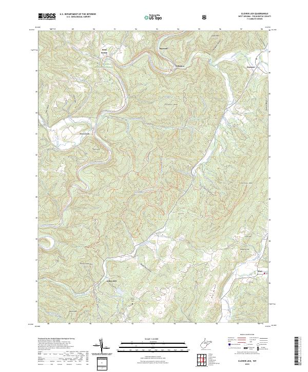
2023 Clover Lick
Pocahontas County, WV
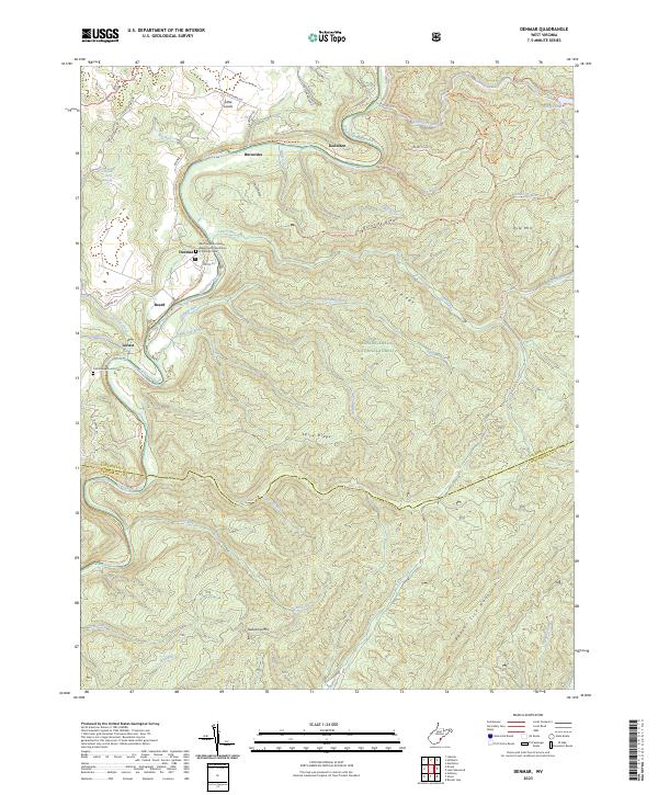
2023 Denmar
Pocahontas County, WV
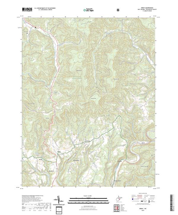
2023 Edray
Pocahontas County, WV
2023 Lake Sherwood
Pocahontas County, WV
2023 Lobelia
Pocahontas County, WV
2023 Mingo
Pocahontas County, WV
2023 Minnehaha Springs
Pocahontas County, WV
2023 Paddy Knob
Pocahontas County, WV
2023 Sharp Knob
Pocahontas County, WV
2023 Thornwood
Pocahontas County, WV
2023 Webster Springs SE
Pocahontas County, WV
2023 Woodrow
Pocahontas County, WV