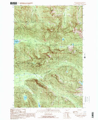
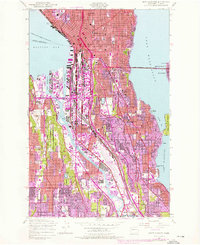
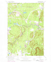
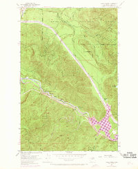
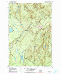
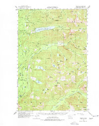
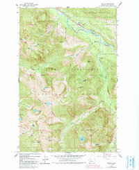
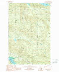
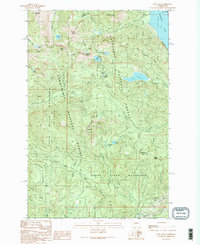
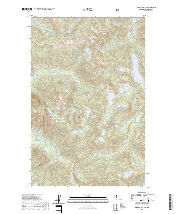
1989 Map of Mount Phelps
USGS Topo · Published 1989About this map
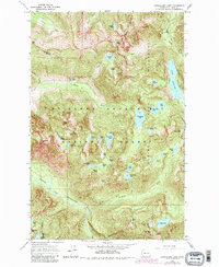
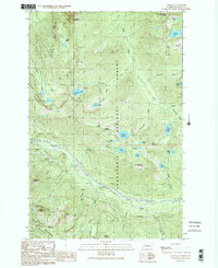
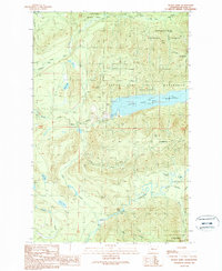
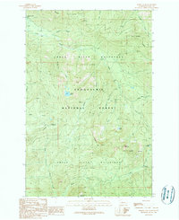
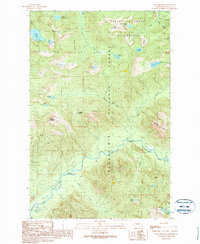
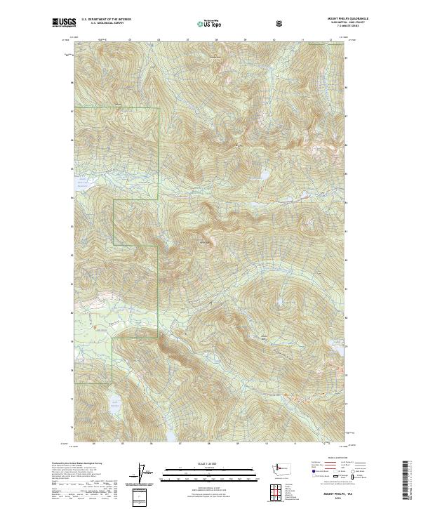
Snoqualmie National Forest and the Alpine Lakes Wilderness dominate this high-elevation landscape, where resource extraction and water management intersect. The map documents a rugged industrial history through the presence of the Damon Mine, Apex Mine, and the Prospect Mill situated along the steep ridges. Central to the area's modern infrastructure is the South Fork Tolt Watershed, which feeds into the South Fork Tolt Reservoir. The terrain is marked by significant peaks such as Mount Phelps and Bare Mountain, while a network of glacial lakes including Loch Katrine and Lake Elizabeth dot the basins. The existence of a Toll Road near the reservoir and several gaging stations underscores the managed nature of this wilderness area at the end of the 1980s.
Find a feature on this map
47 named features on this map. Tap any name to fly to it.
Don’t see what you’re looking for? This feature index may not catch every label — zoom into the map to look around manually.
Map Details
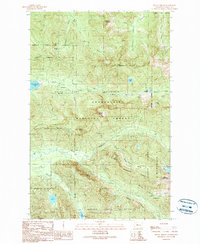
Editions of this 1989 Mount Phelps Map
2 editions found
Historical Maps of King County Through Time
63 maps found
1913 Cedar Lake
King County, WA
1949 Duwamish Head
King County, WA

1949 Poverty Bay
King County, WA
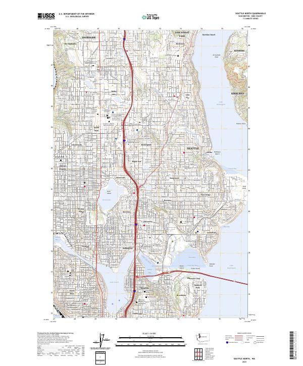
1949 Seattle North
King County, WA
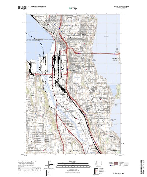
1949 Seattle South
King County, WA

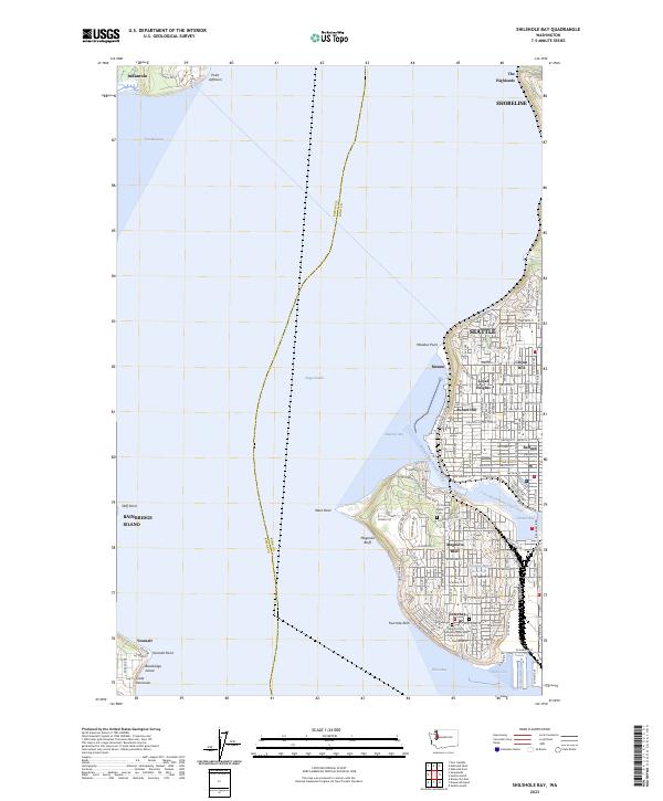
1949 Shilshole Bay
King County, WA
1953 Cumberland
King County, WA
1953 Eagle Gorge
King County, WA
1953 Lake Joy
King County, WA

1960 Bandera
King County, WA
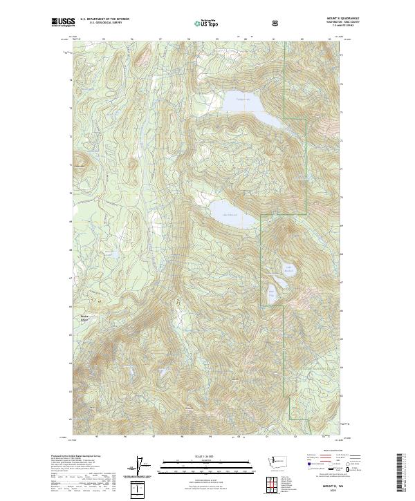
1960 Mount Si
King County, WA
1961 Poverty Bay
King County, WA
1962 Lester
King County, WA
1965 Big Snow Mtn
King County, WA
1965 Grotto
King County, WA

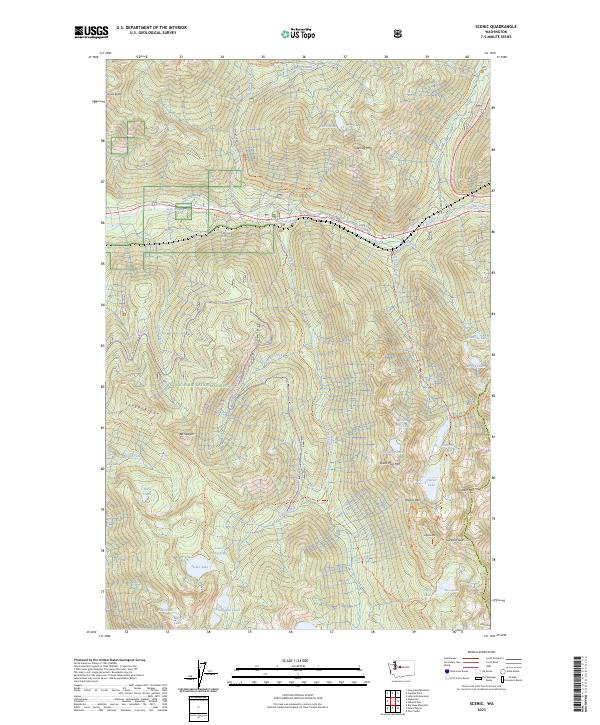
1965 Scenic
King County, WA
1965 Snoqualmie Lake
King County, WA

1968 Duwamish Head
King County, WA

1975 Skykomish River
King County, WA

1983 Bellevue South
King County, WA

1983 Seattle North
King County, WA
1983 Seattle South
King County, WA

1986 Cyclone Creek
King County, WA

1986 Lake Joy
King County, WA

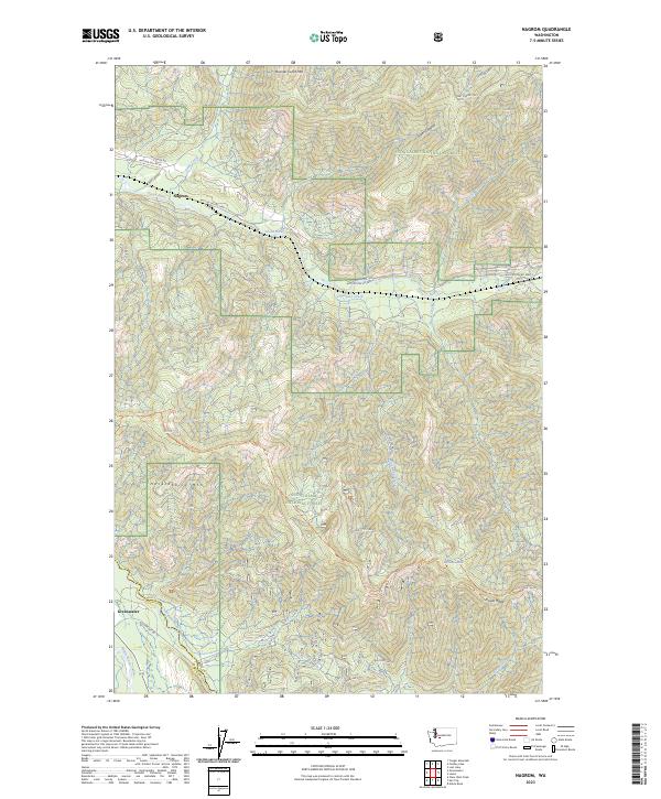
1986 Nagrom
King County, WA
1989 Bandera
King County, WA

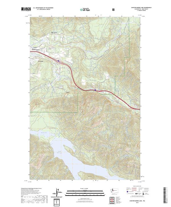
1989 Chester Morse Lake
King County, WA
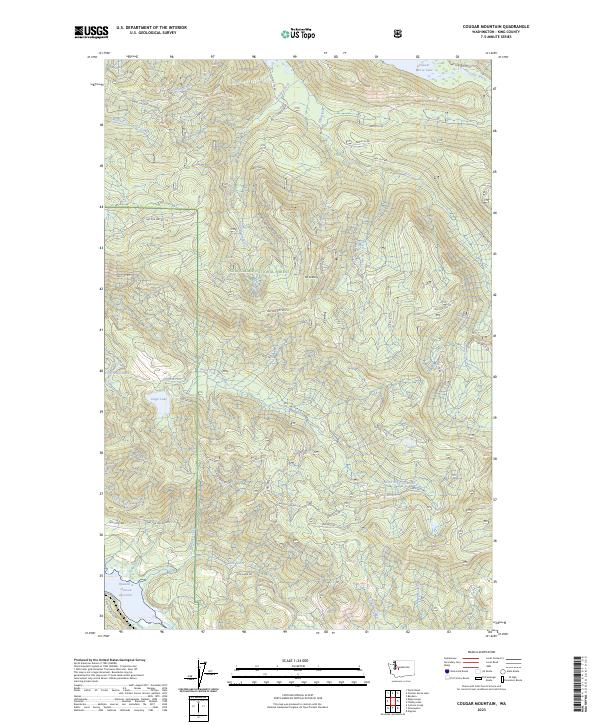
1989 Cougar Mountain
King County, WA
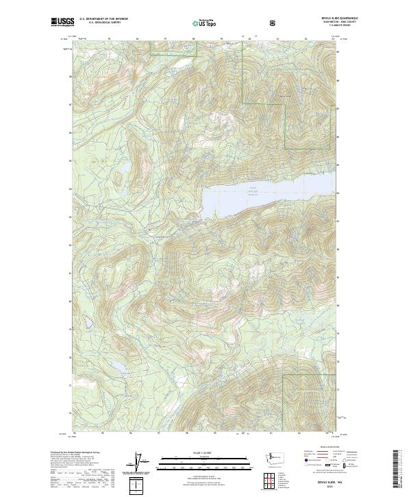
1989 Devils Slide
King County, WA
1989 Findley Lake
King County, WA
1989 Lake Philippa
King County, WA

1989 Lester
King County, WA
1989 Lost Lake
King County, WA
1989 Mount Phelps
King County, WA

1989 Mount Si
King County, WA

1993 Cumberland
King County, WA

1993 Eagle Gorge
King County, WA

1993 Lake Joy
King County, WA

1997 Poverty Bay
King County, WA
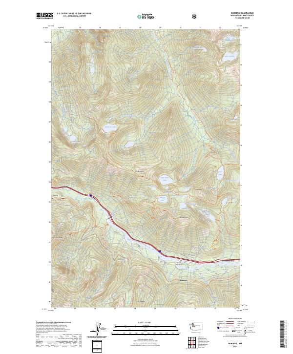
2023 Bandera
King County, WA
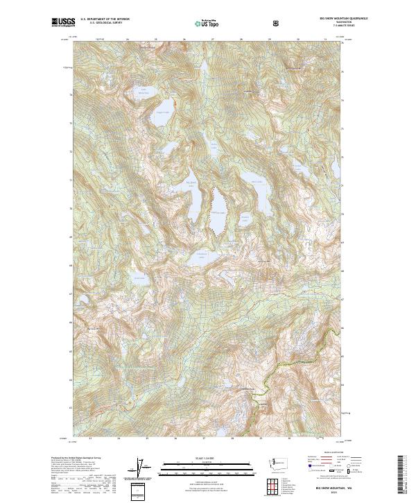
2023 Big Snow Mountain
King County, WA
2023 Chester Morse Lake
King County, WA
2023 Cougar Mountain
King County, WA

2023 Cumberland
King County, WA
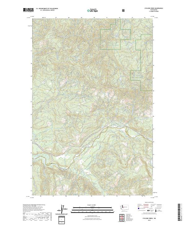
2023 Cyclone Creek
King County, WA
2023 Devils Slide
King County, WA
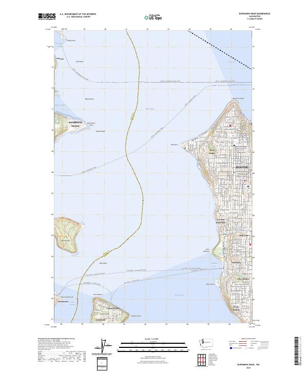
2023 Duwamish Head
King County, WA
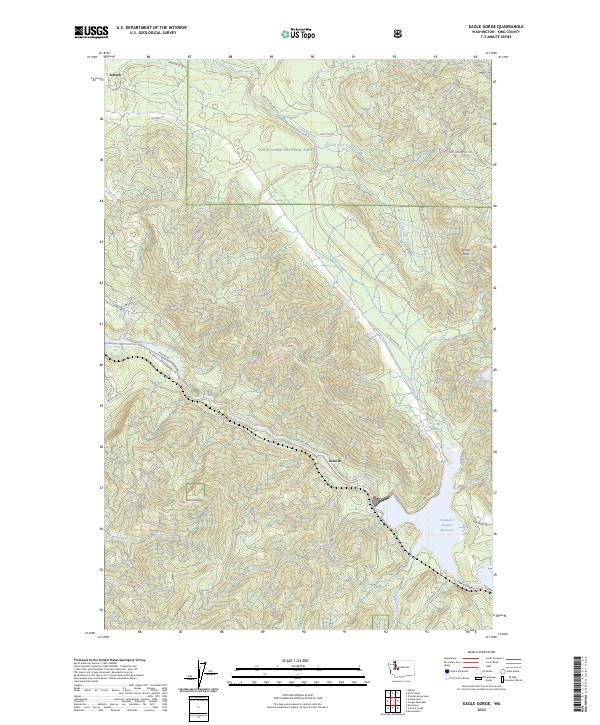
2023 Eagle Gorge
King County, WA
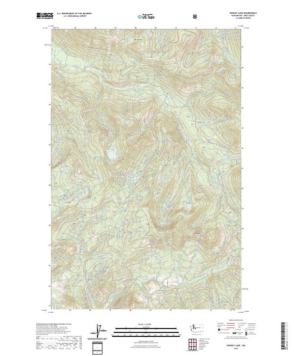
2023 Findley Lake
King County, WA
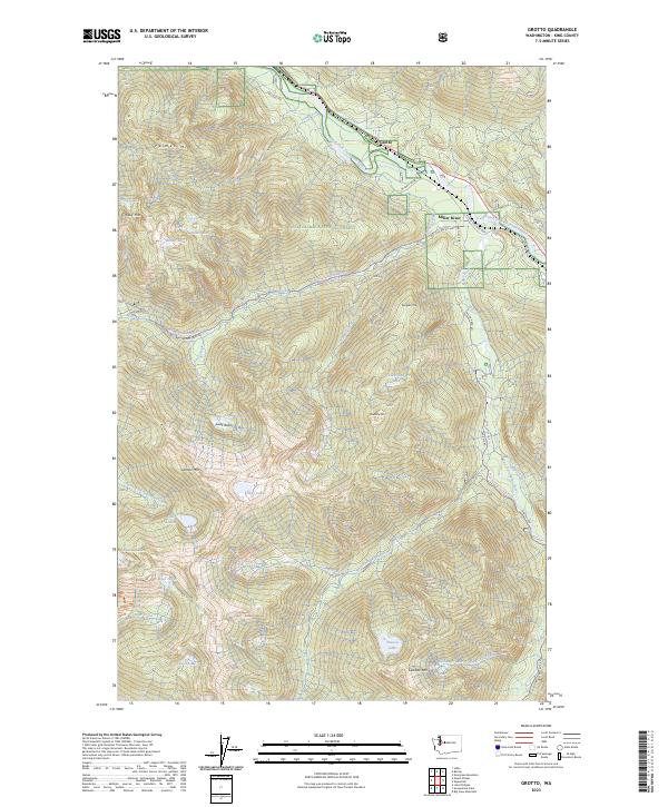
2023 Grotto
King County, WA
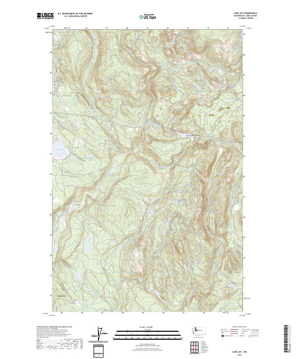
2023 Lake Joy
King County, WA
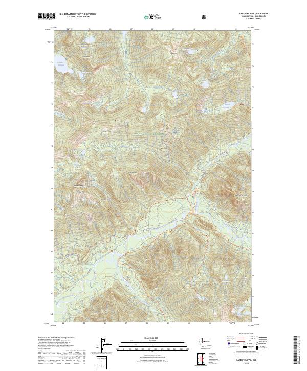
2023 Lake Philippa
King County, WA
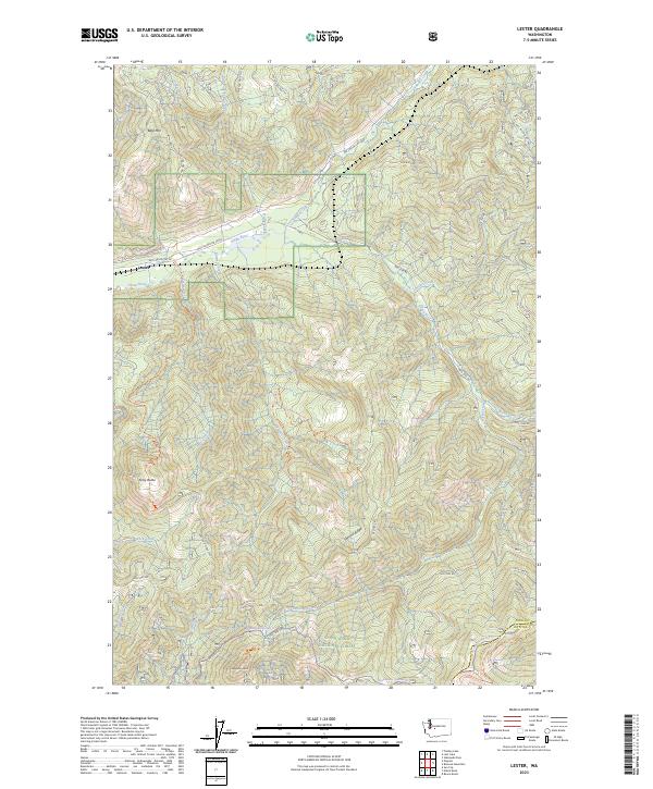
2023 Lester
King County, WA
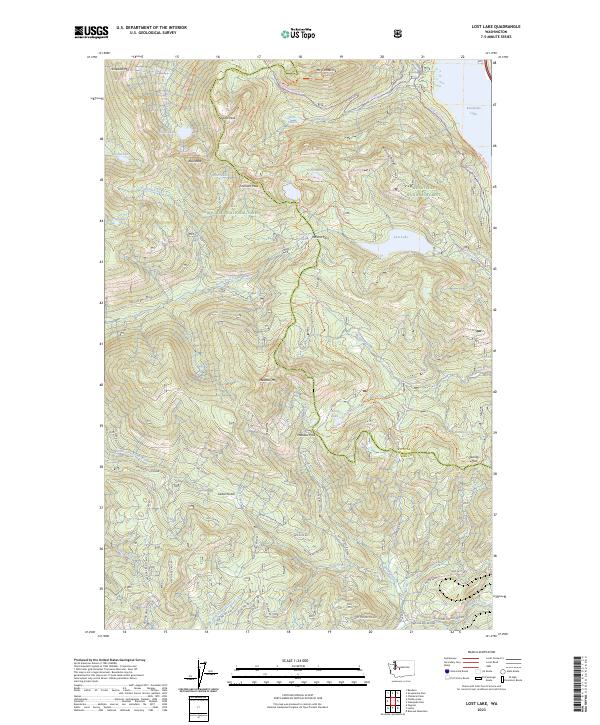
2023 Lost Lake
King County, WA
2023 Mount Phelps
King County, WA
2023 Mount Si
King County, WA
2023 Nagrom
King County, WA

2023 Poverty Bay
King County, WA
2023 Scenic
King County, WA
2023 Seattle North
King County, WA
2023 Seattle South
King County, WA
2023 Shilshole Bay
King County, WA
2023 Snoqualmie Lake
King County, WA