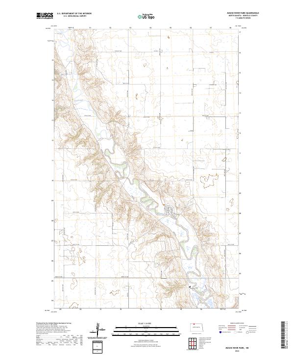
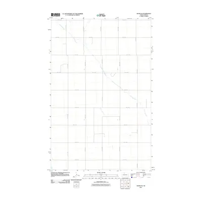
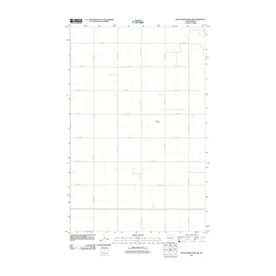
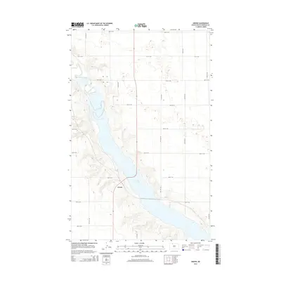
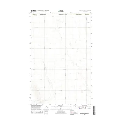
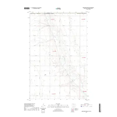
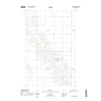
2024 Map of Mouse River Park
USGS Topo · Published 2024About this map
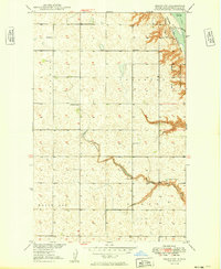
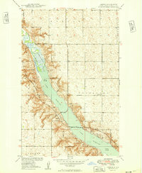
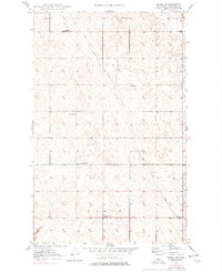
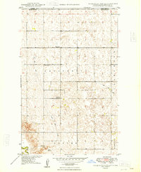
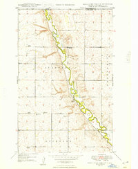
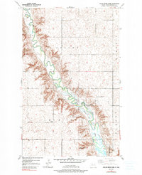
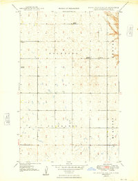
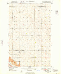
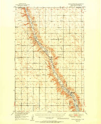
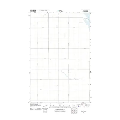
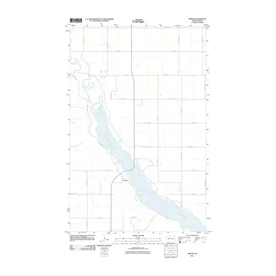
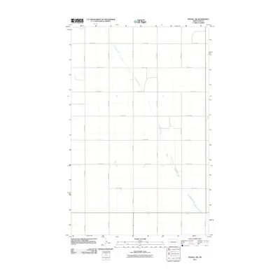
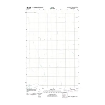
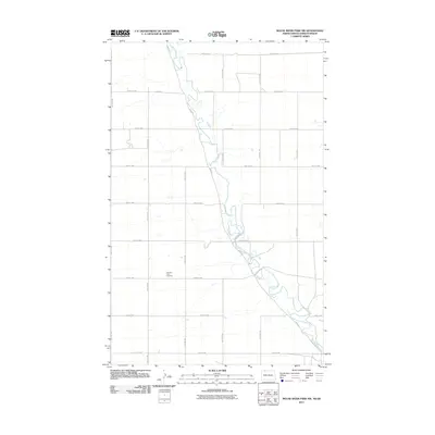
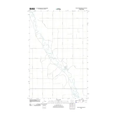
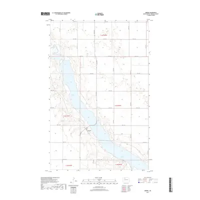
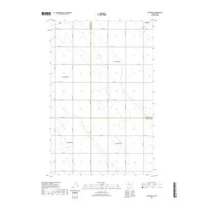
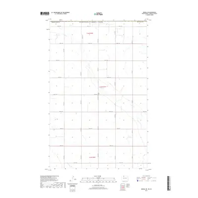
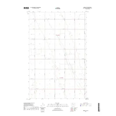
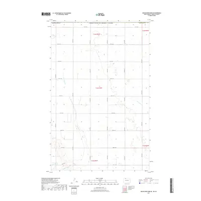
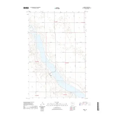
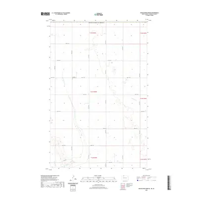
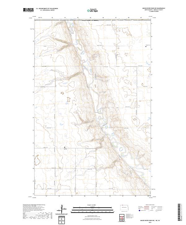
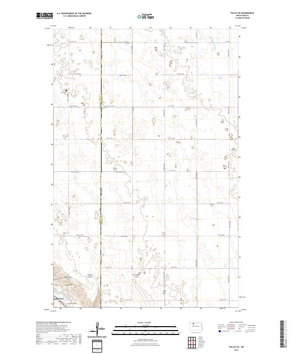
The Souris River meanders through Renville County, carving a distinct valley through the northern plains landscape. Much of this riparian corridor is protected within the Upper Souris National Wildlife Refuge, where the river's path is marked by numerous oxbows and marshy wetlands. This modern survey illustrates the conservation layout of the area, including the Centennial Wildlife Nature Tr and a network of section-line roads such as Co Rd 4 and River Rd that provide access to the refuge perimeter.
Find a feature on this map
25 named features on this map. Tap any name to fly to it.
Don’t see what you’re looking for? This feature index may not catch every label — zoom into the map to look around manually.
Map Details
Editions of this 2024 Mouse River Park Map
This is the sole edition of this map. No revisions or reprints were ever made.
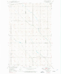
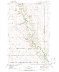
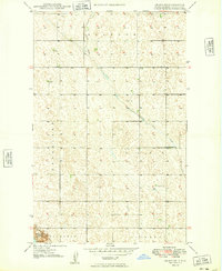
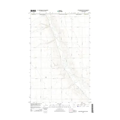
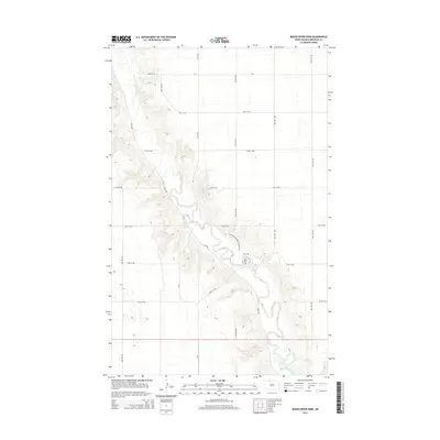
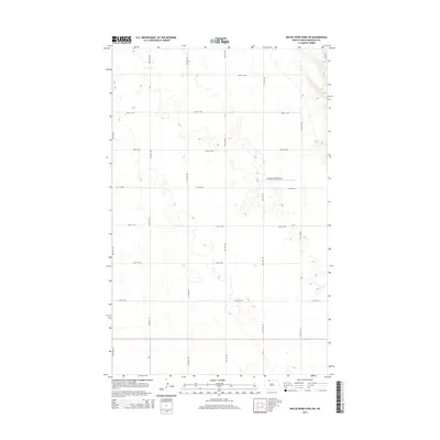
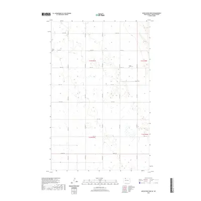
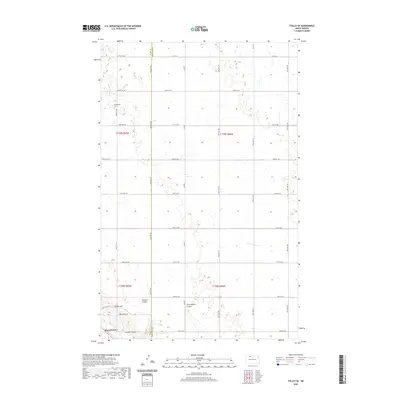
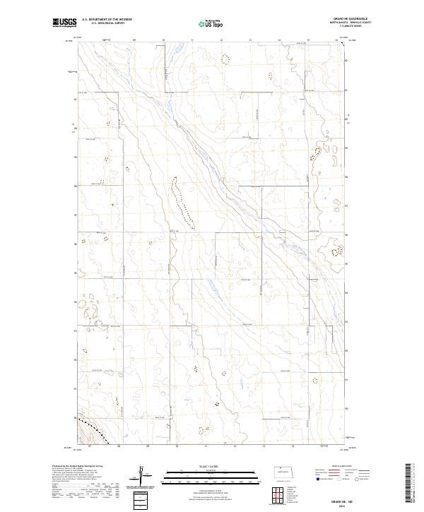
Historical Maps of Renville County Through Time
69 maps found
1948 Lansford SW
Renville County, ND
1948 Mouse River Park NW
Renville County, ND
1949 Grano NE
Renville County, ND
1949 Grano SW
Renville County, ND
1949 Greene
Renville County, ND
1949 Lansford SW
Renville County, ND
1949 Mohall NE
Renville County, ND
1949 Mohall SW
Renville County, ND
1949 Mouse River Park NE
Renville County, ND
1949 Mouse River Park NW
Renville County, ND
1949 Mouse River Park
Renville County, ND
1949 Mouse River Park SW
Renville County, ND
1949 Tolley SE
Renville County, ND
1950 Mouse River Park
Renville County, ND
2011 Grano NE
Renville County, ND
2011 Grano SW
Renville County, ND
2011 Greene
Renville County, ND
2011 Lansford SW
Renville County, ND
2011 Mohall NE
Renville County, ND
2011 Mohall SW
Renville County, ND
2011 Mouse River Park NE
Renville County, ND
2011 Mouse River Park NW
Renville County, ND
2011 Mouse River Park
Renville County, ND
2011 Mouse River Park SW
Renville County, ND
2011 Tolley SE
Renville County, ND
2014 Grano NE
Renville County, ND
2014 Grano SW
Renville County, ND
2014 Greene
Renville County, ND
2014 Lansford SW
Renville County, ND
2014 Mohall NE
Renville County, ND
2014 Mohall SW
Renville County, ND
2014 Mouse River Park NE
Renville County, ND
2014 Mouse River Park NW
Renville County, ND
2014 Mouse River Park
Renville County, ND
2014 Mouse River Park SW
Renville County, ND
2014 Tolley SE
Renville County, ND
2017 Grano NE
Renville County, ND
2017 Grano SW
Renville County, ND
2017 Greene
Renville County, ND
2017 Lansford SW
Renville County, ND
2017 Mohall NE
Renville County, ND
2017 Mohall SW
Renville County, ND
2017 Mouse River Park NE
Renville County, ND
2017 Mouse River Park NW
Renville County, ND
2017 Mouse River Park
Renville County, ND
2017 Mouse River Park SW
Renville County, ND
2017 Tolley SE
Renville County, ND
2020 Grano NE
Renville County, ND
2020 Grano SW
Renville County, ND
2020 Greene
Renville County, ND
2020 Lansford SW
Renville County, ND
2020 Mohall NE
Renville County, ND
2020 Mohall SW
Renville County, ND
2020 Mouse River Park NE
Renville County, ND
2020 Mouse River Park NW
Renville County, ND
2020 Mouse River Park
Renville County, ND
2020 Mouse River Park SW
Renville County, ND
2020 Tolley SE
Renville County, ND
2024 Grano NE
Renville County, ND
2024 Grano SW
Renville County, ND
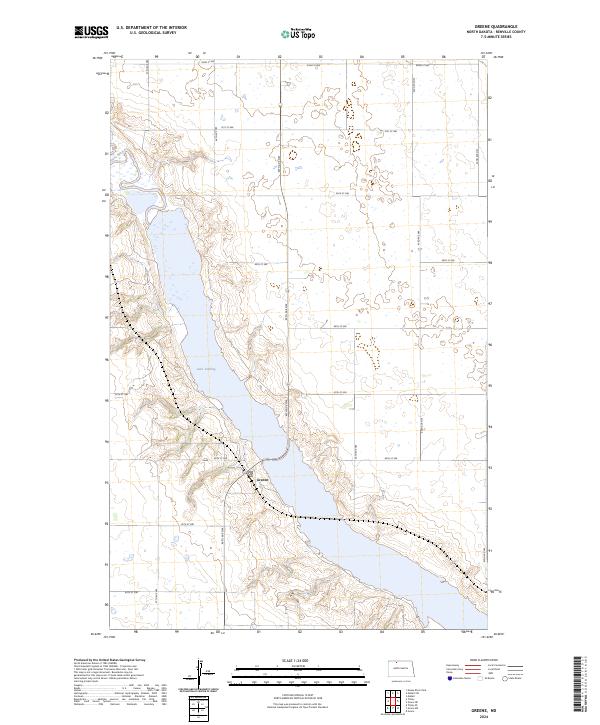
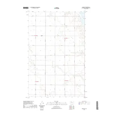
2024 Greene
Renville County, ND
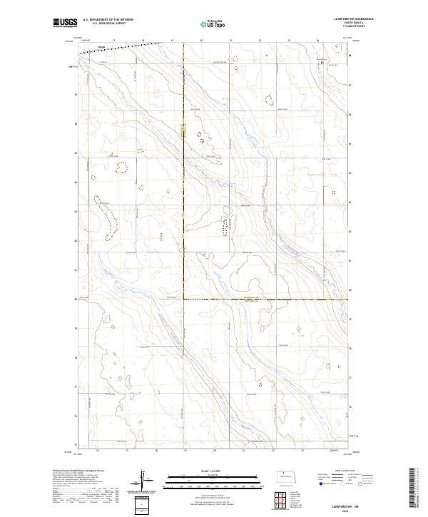
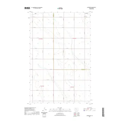
2024 Lansford SW
Renville County, ND
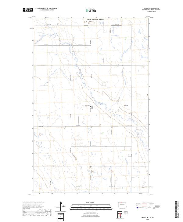
2024 Mohall NE
Renville County, ND
2024 Mohall SW
Renville County, ND
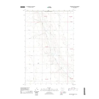
2024 Mouse River Park NE
Renville County, ND
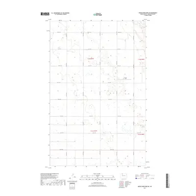
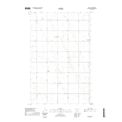
2024 Mouse River Park NW
Renville County, ND
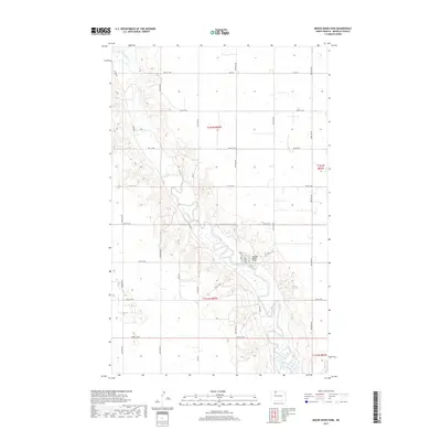
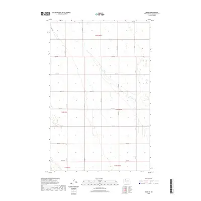
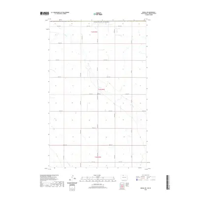
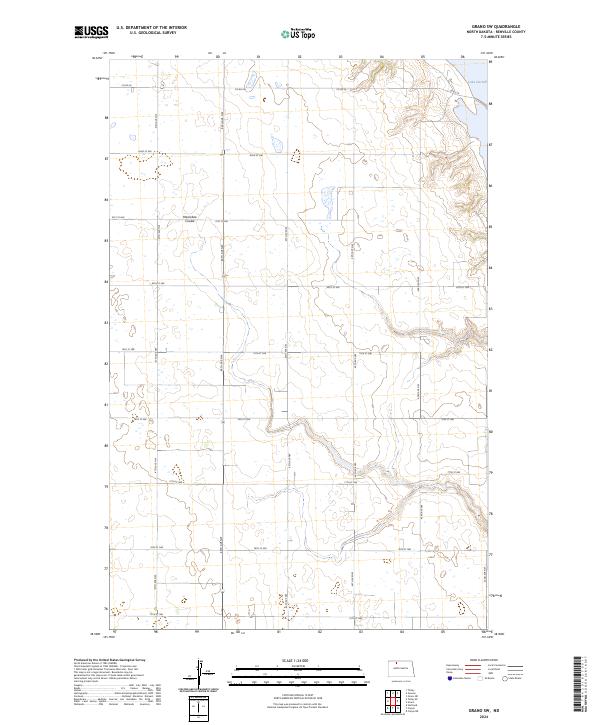
2024 Mouse River Park
Renville County, ND
2024 Mouse River Park SW
Renville County, ND
2024 Tolley SE
Renville County, ND