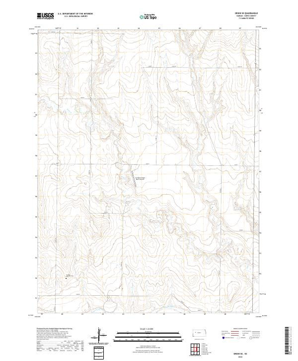
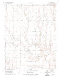
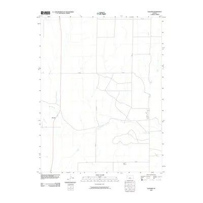
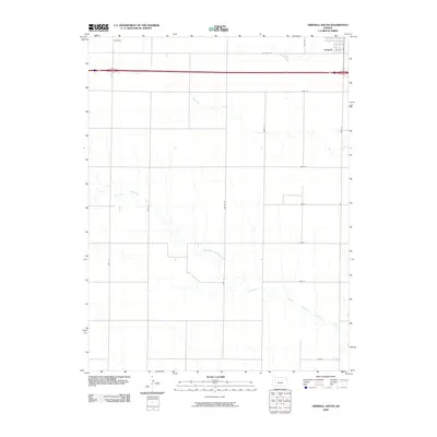
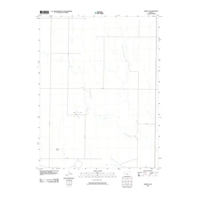
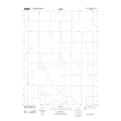
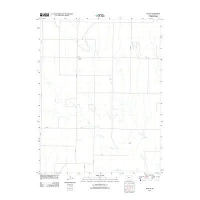
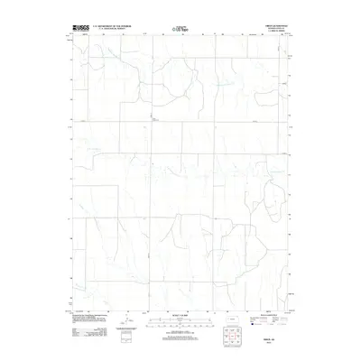
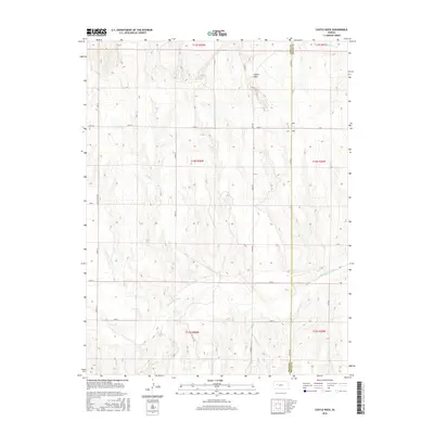
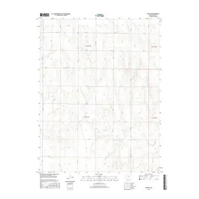
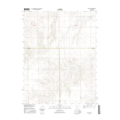
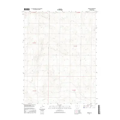
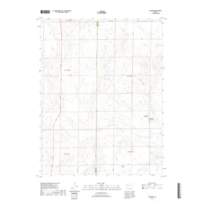
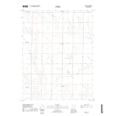
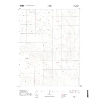
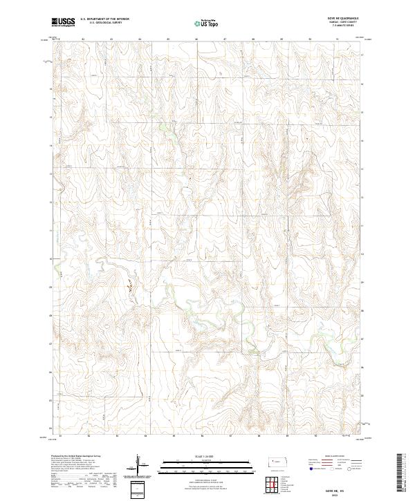
2022 Map of Orion SE
USGS Topo · Published 2022About this map
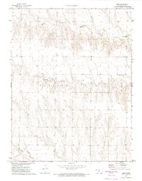
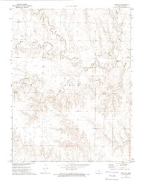
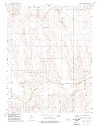
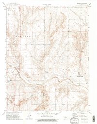
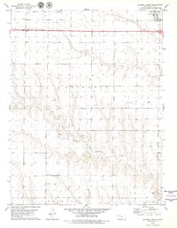
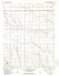
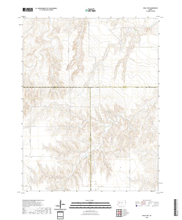
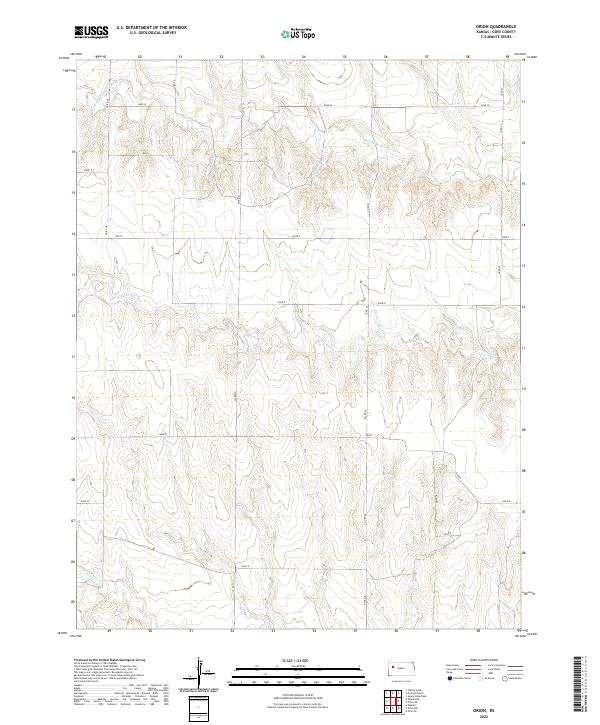
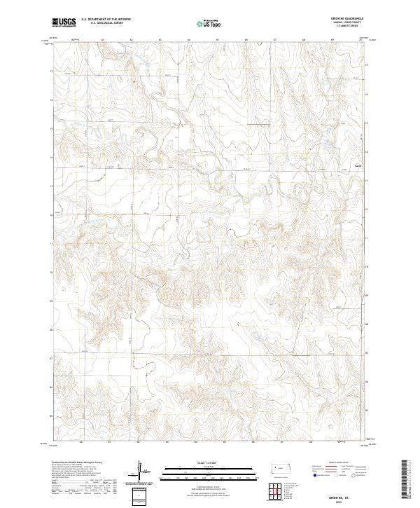
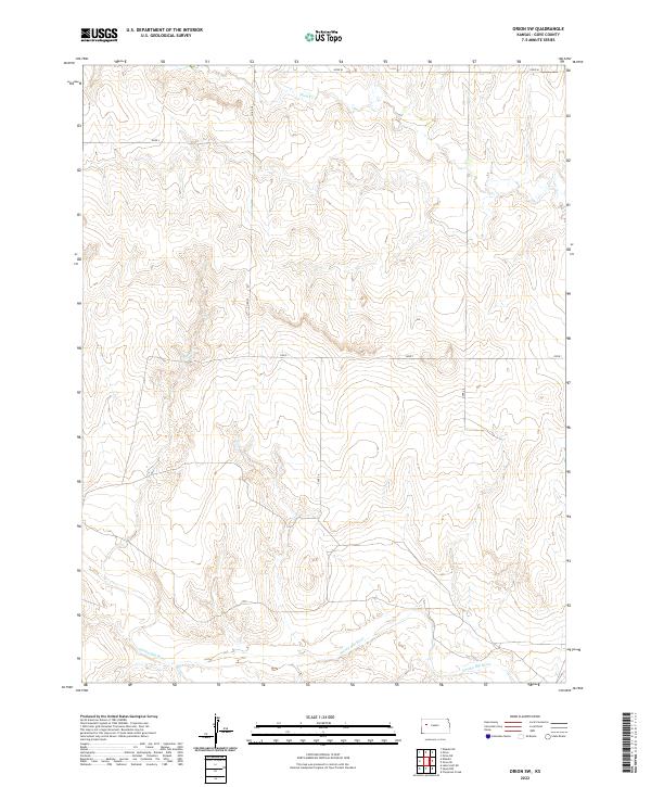
The Smoky Hill River winds across the southern reaches of this Gove County landscape, defining the local drainage patterns that have shaped ranching and settlement for generations. The terrain is largely organized by a grid of rural routes such as Gove I and Gove 34, reflecting the systematic division of the High Plains. A significant point of local heritage is found at the Swedish Lutheran Cem, a site that anchors the genealogical history of the area's early European settlers. Small-scale aviation and modern agricultural operations are represented by the Lundgren Angus Ranch Airport, located near the center of the sheet. Tributaries like Plum Cr cut through the plains, creating the subtle elevation changes that characterize this part of western Kansas.
Find a feature on this map
24 named features on this map. Tap any name to fly to it.
Don’t see what you’re looking for? This feature index may not catch every label — zoom into the map to look around manually.
Map Details
Editions of this 2022 Orion SE Map
This is the sole edition of this map. No revisions or reprints were ever made.
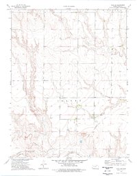
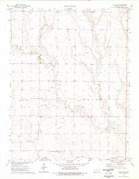
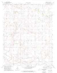
Historical Maps of Gove County Through Time
84 maps found
1972 Castle Rock NW
Gove County, KS
1972 Gove
Gove County, KS
1972 Gove NE
Gove County, KS
1972 Orion
Gove County, KS
1972 Orion NE
Gove County, KS
1974 Castle Rock
Gove County, KS
1974 Elkader
Gove County, KS
1974 Gove SE
Gove County, KS
1974 Gove SW
Gove County, KS

1974 Healy NW
Gove County, KS
1974 Orion SE
Gove County, KS
1974 Orion SW
Gove County, KS
1979 Grinnell South
Gove County, KS
1979 Sunny Slope Lake
Gove County, KS
2009 Castle Rock
Gove County, KS
2009 Castle Rock NW
Gove County, KS
2009 Elkader
Gove County, KS

2009 Gove
Gove County, KS
2009 Gove NE
Gove County, KS
2009 Gove SE
Gove County, KS
2009 Gove SW
Gove County, KS
2009 Grinnell South
Gove County, KS
2009 Healy NW
Gove County, KS
2009 Orion
Gove County, KS
2009 Orion NE
Gove County, KS
2009 Orion SE
Gove County, KS
2009 Orion SW
Gove County, KS
2009 Sunny Slope Lake
Gove County, KS
2012 Castle Rock
Gove County, KS
2012 Castle Rock NW
Gove County, KS
2012 Elkader
Gove County, KS
2012 Gove
Gove County, KS
2012 Gove NE
Gove County, KS
2012 Gove SE
Gove County, KS
2012 Gove SW
Gove County, KS
2012 Grinnell South
Gove County, KS
2012 Healy NW
Gove County, KS
2012 Orion
Gove County, KS
2012 Orion NE
Gove County, KS
2012 Orion SE
Gove County, KS
2012 Orion SW
Gove County, KS

2012 Sunny Slope Lake
Gove County, KS
2015 Castle Rock
Gove County, KS
2015 Castle Rock NW
Gove County, KS
2015 Elkader
Gove County, KS
2015 Gove
Gove County, KS
2015 Gove NE
Gove County, KS
2015 Gove SE
Gove County, KS
2015 Gove SW
Gove County, KS
2015 Grinnell South
Gove County, KS
2015 Healy NW
Gove County, KS
2015 Orion
Gove County, KS
2015 Orion NE
Gove County, KS
2015 Orion SE
Gove County, KS
2015 Orion SW
Gove County, KS
2015 Sunny Slope Lake
Gove County, KS
2018 Castle Rock
Gove County, KS
2018 Castle Rock NW
Gove County, KS
2018 Elkader
Gove County, KS
2018 Gove
Gove County, KS
2018 Gove NE
Gove County, KS
2018 Gove SE
Gove County, KS
2018 Gove SW
Gove County, KS
2018 Grinnell South
Gove County, KS
2018 Healy NW
Gove County, KS
2018 Orion
Gove County, KS
2018 Orion NE
Gove County, KS
2018 Orion SE
Gove County, KS
2018 Orion SW
Gove County, KS
2018 Sunny Slope Lake
Gove County, KS
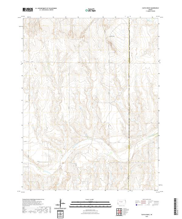
2022 Castle Rock
Gove County, KS
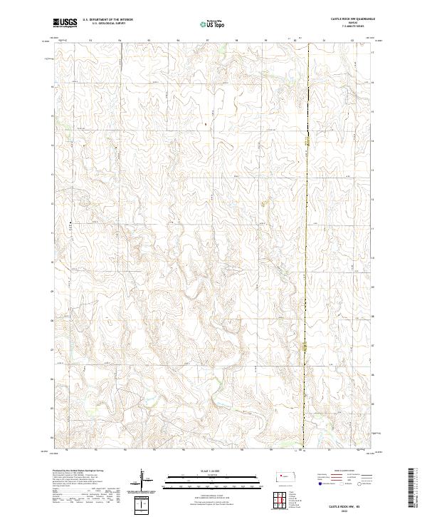
2022 Castle Rock NW
Gove County, KS
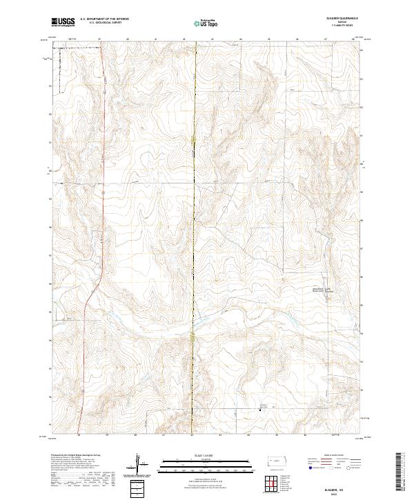
2022 Elkader
Gove County, KS
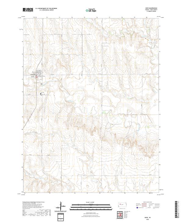
2022 Gove
Gove County, KS
2022 Gove NE
Gove County, KS
2022 Gove SE
Gove County, KS
2022 Gove SW
Gove County, KS
2022 Grinnell South
Gove County, KS
2022 Healy NW
Gove County, KS
2022 Orion
Gove County, KS
2022 Orion NE
Gove County, KS
2022 Orion SE
Gove County, KS
2022 Orion SW
Gove County, KS
2022 Sunny Slope Lake
Gove County, KS