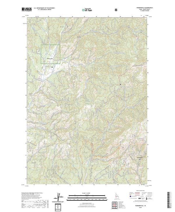
2023 Map of Pioneerville
USGS Topo · Published 2023About this map
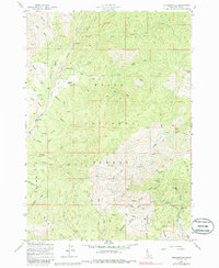
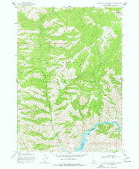
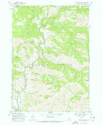
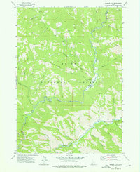
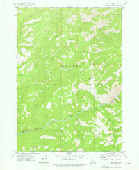
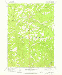
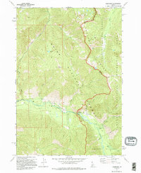
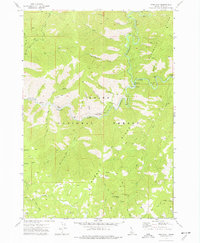
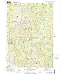
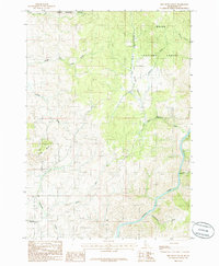
Pioneerville sits at the heart of the historic gold-producing Boise Basin, where narrow roads like Swede Creek Road and Henry Smith Whiskey Road snake through high-elevation terrain. This survey reveals a landscape deeply connected to its 19th-century mining origins, featuring the Pioneerville Cem and the remote Miner Grave near the South Fork Smith Creek. The drainage patterns of Grimes Creek and its many tributaries, such as Lager Beer Creek, define the topography between Wilson Peak and Coulter Summit. In the southern reaches, the location of the Mascot Mine and the Washington Mill near Washington Gulch point to the area's industrial past. Within the Boise National Forest, the map also details numerous ridgeline trails and summits, including Halfmoon Point and the expansive Summit Flat.
Find a feature on this map
67 named features on this map. Tap any name to fly to it.
Don’t see what you’re looking for? This feature index may not catch every label — zoom into the map to look around manually.
Map Details
Editions of this 2023 Pioneerville Map
This is the sole edition of this map. No revisions or reprints were ever made.
Historical Maps of Pioneerville Through Time
64 maps found

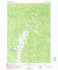
1891 Bear Valley
Boise County, ID
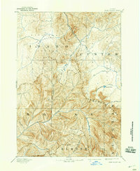
1893 Bear Valley
Boise County, ID
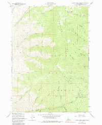
1957 Cartwright Canyon
Boise County, ID
1957 Harris Creek Summit
Boise County, ID
1957 Pioneerville
Boise County, ID
1957 Shafer Butte
Boise County, ID
1957 Warm Springs Point
Boise County, ID
1964 Twin Springs
Boise County, ID
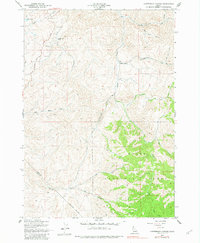
1969 Arrowrock Reservoir NE
Boise County, ID
1969 Dunnigan Creek
Boise County, ID
1972 Barber Flat
Boise County, ID
1972 Bear River
Boise County, ID
1972 Big Owl Creek
Boise County, ID
1972 Bull Trout Point
Boise County, ID
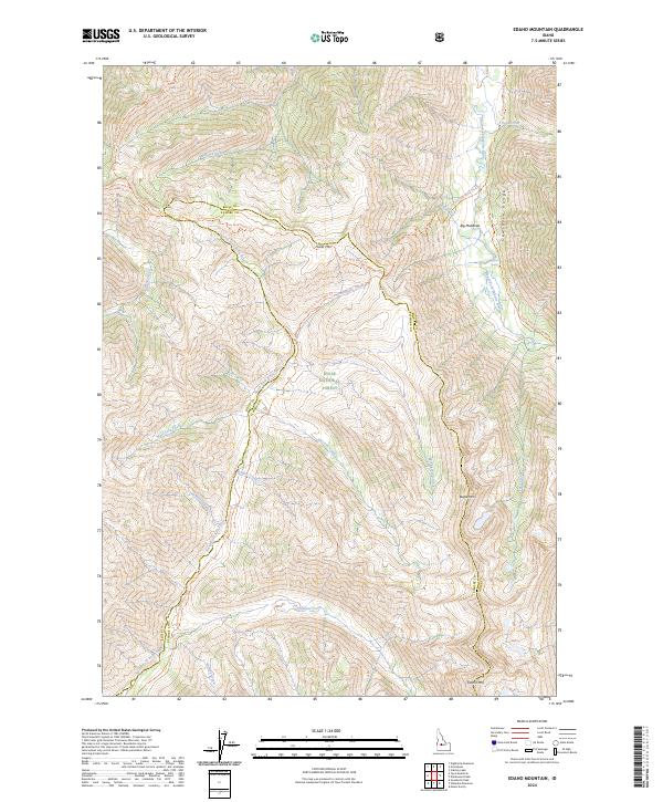
1972 Edaho Mountain
Boise County, ID
1972 Eightmile Mtn
Boise County, ID
1972 Grandjean
Boise County, ID
1972 Jackson Peak
Boise County, ID
1972 Miller Mtn East
Boise County, ID
1972 Miller Mtn West
Boise County, ID
1972 Pine Flat
Boise County, ID
1972 Rabbit Creek Summit
Boise County, ID
1972 Scott Creek
Boise County, ID
1972 Sunset Mtn.
Boise County, ID
1972 Swanholm Peak
Boise County, ID
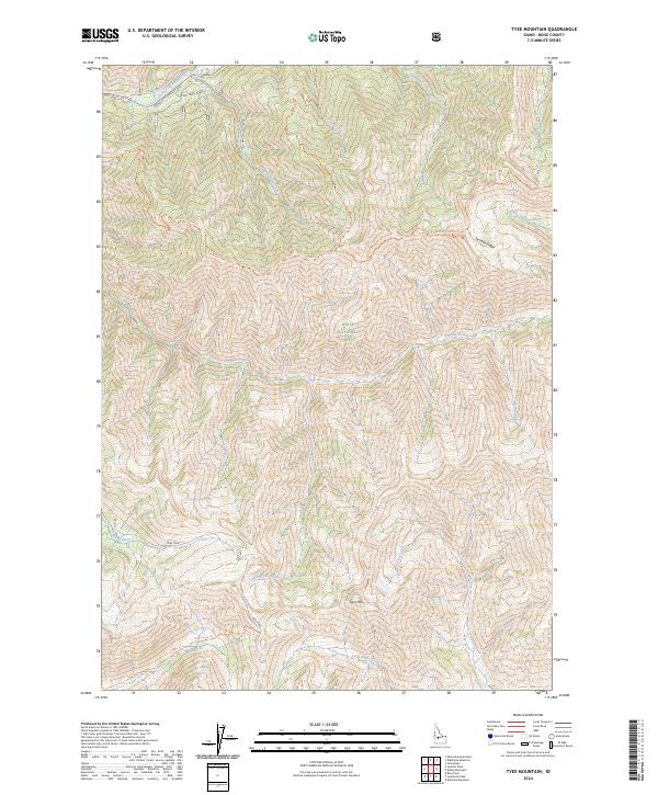
1972 Tyee Mountain
Boise County, ID
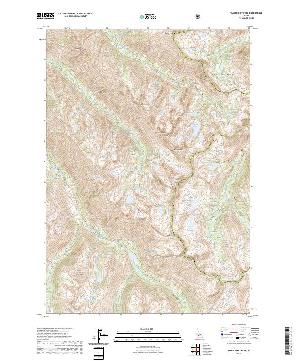
1972 Warbonnet Peak
Boise County, ID
1982 Deadwood River
Boise County, ID
1985 Dry Buck Valley
Boise County, ID
1985 Packer John Mountain
Boise County, ID
1988 Grimes Pass
Boise County, ID
1988 Lightning Ridge
Boise County, ID
1988 Pyle Creek
Boise County, ID
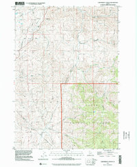
1998 Cartwright Canyon
Boise County, ID
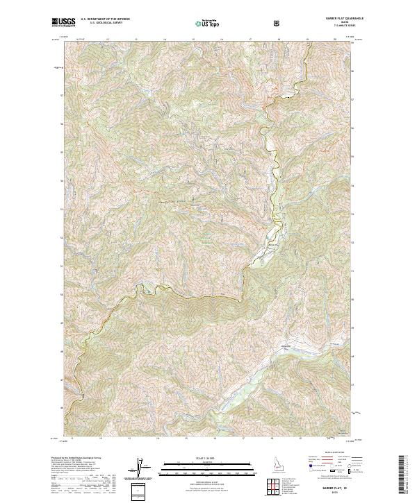
2023 Barber Flat
Boise County, ID
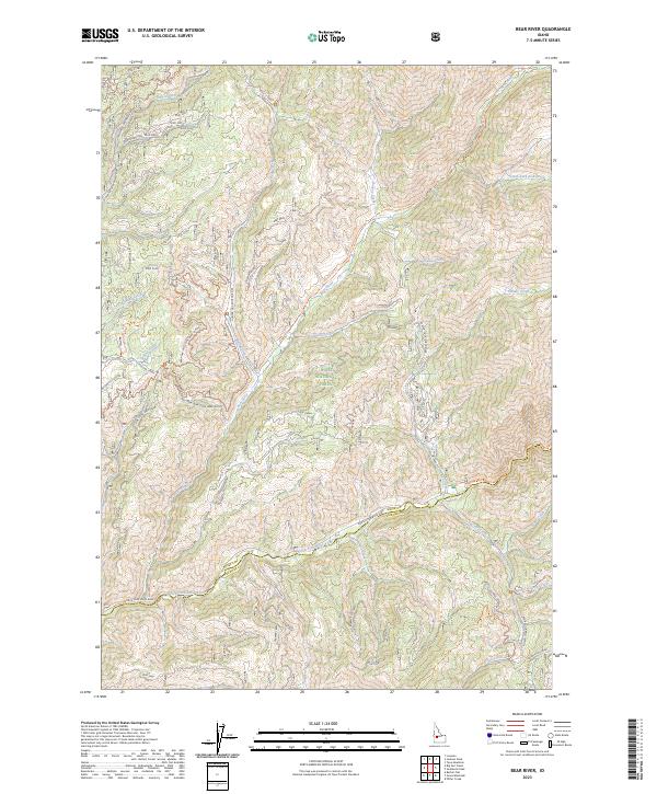
2023 Bear River
Boise County, ID
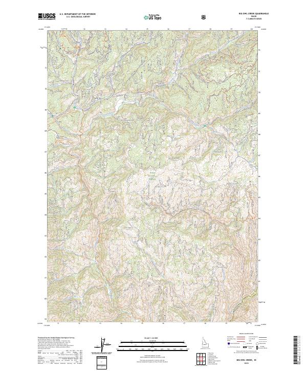
2023 Big Owl Creek
Boise County, ID
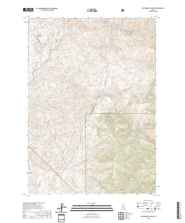
2023 Cartwright Canyon
Boise County, ID
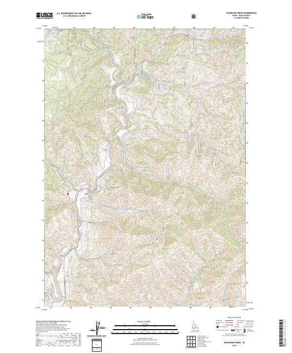
2023 Dunnigan Creek
Boise County, ID
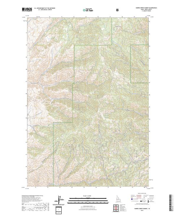
2023 Harris Creek Summit
Boise County, ID
2023 Pioneerville
Boise County, ID
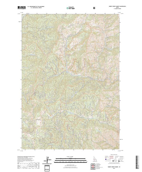
2023 Rabbit Creek Summit
Boise County, ID
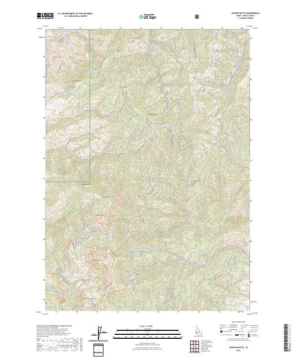
2023 Shafer Butte
Boise County, ID
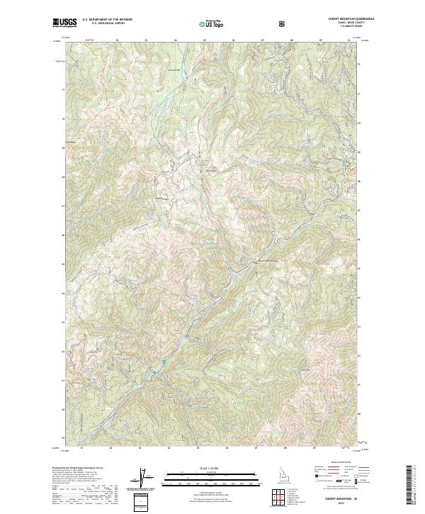
2023 Sunset Mountain
Boise County, ID
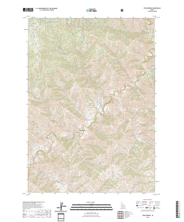
2023 Twin Springs
Boise County, ID
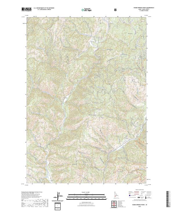
2023 Warm Springs Point
Boise County, ID
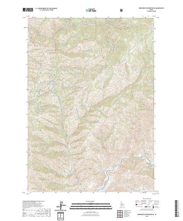
2024 Arrowrock Reservoir NE
Boise County, ID
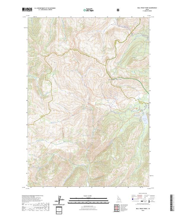
2024 Bull Trout Point
Boise County, ID
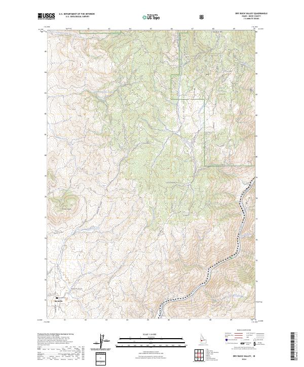
2024 Dry Buck Valley
Boise County, ID
2024 Edaho Mountain
Boise County, ID
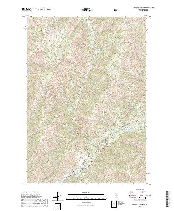
2024 Eightmile Mountain
Boise County, ID
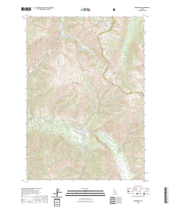
2024 Grandjean
Boise County, ID
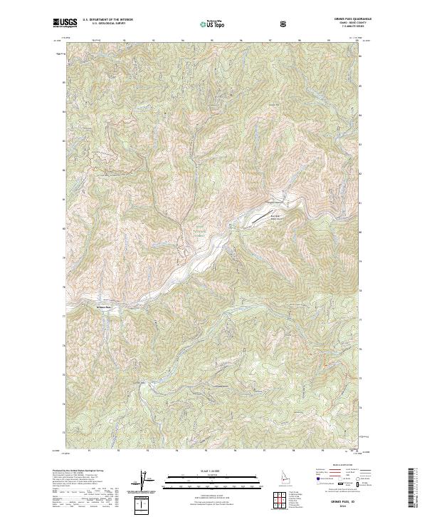
2024 Grimes Pass
Boise County, ID
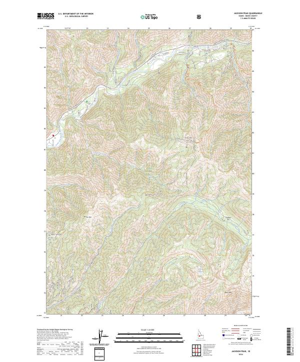
2024 Jackson Peak
Boise County, ID

2024 Lightning Ridge
Boise County, ID
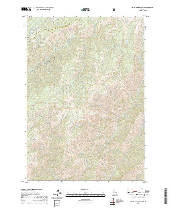
2024 Miller Mountain East
Boise County, ID
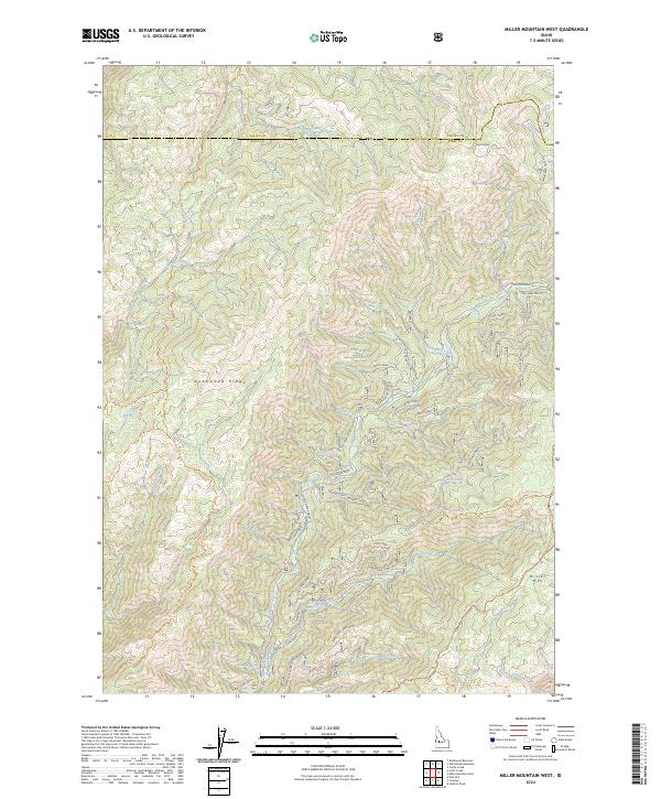
2024 Miller Mountain West
Boise County, ID
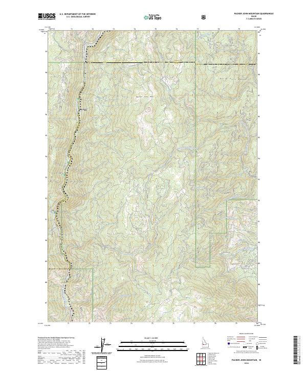
2024 Packer John Mountain
Boise County, ID
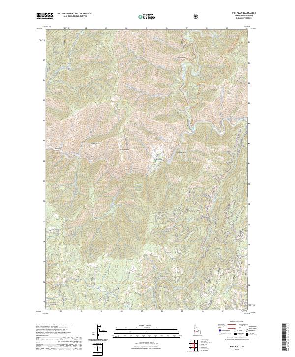
2024 Pine Flat
Boise County, ID
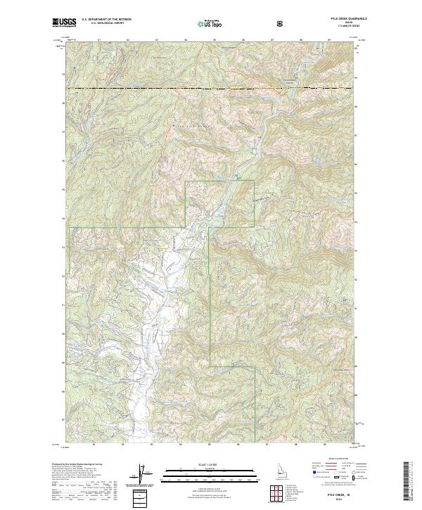
2024 Pyle Creek
Boise County, ID
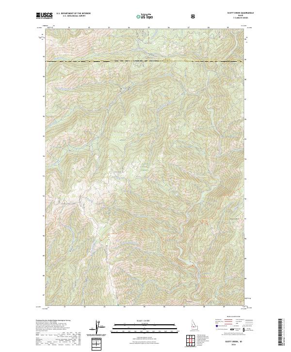
2024 Scott Creek
Boise County, ID
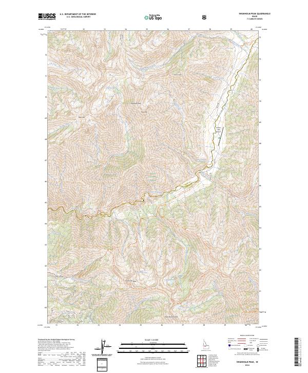
2024 Swanholm Peak
Boise County, ID
2024 Tyee Mountain
Boise County, ID
2024 Warbonnet Peak
Boise County, ID