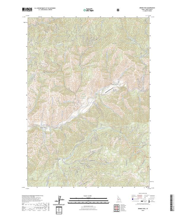
2024 Map of Grimes Pass
USGS Topo · Published 2024About this map
Grimes Pass serves as a critical geographic transition in this high-elevation corner of the Boise National Forest. The landscape is defined by an intricate drainage system where the South Fork Payette River meets numerous tributary creeks and gulches. The presence of the Abelia Mine and family-named landmarks like Gallagher Peak and Jackson Peak point to a history of resource extraction and early ranching. The road network is a mix of the modern Banks-Lowman Hwy and specialized routes such as TV Repeater Road and the Grimes Creek-Summit Flat road. Aviation history is noted by the Black Bear Ranch Airport, tucked along the riverbanks. This map captures the intersection of wilderness management and the enduring infrastructure of Idaho's mountain interior.
Find a feature on this map
71 named features on this map. Tap any name to fly to it.
Don’t see what you’re looking for? This feature index may not catch every label — zoom into the map to look around manually.
Map Details
Editions of this 2024 Grimes Pass Map
This is the sole edition of this map. No revisions or reprints were ever made.
Other maps of this area

1894 · Idaho Basin
USGS Topo · 1:125,000

1909 · Garden Valley
USGS Topo · 1:125,000

1955 · Hailey
USGS Topo · 1:250,000

1957 · Placerville
USGS Topo · 1:24,000

1957 · Pioneerville
USGS Topo · 1:24,000

1957 · Challis
USGS Topo · 1:250,000

1959 · Hailey
USGS Topo · 1:250,000

1959 · Garden Valley
USGS Topo · 1:62,500

1960 · Challis
USGS Topo · 1:250,000

1962 · Hailey
USGS Topo · 1:250,000