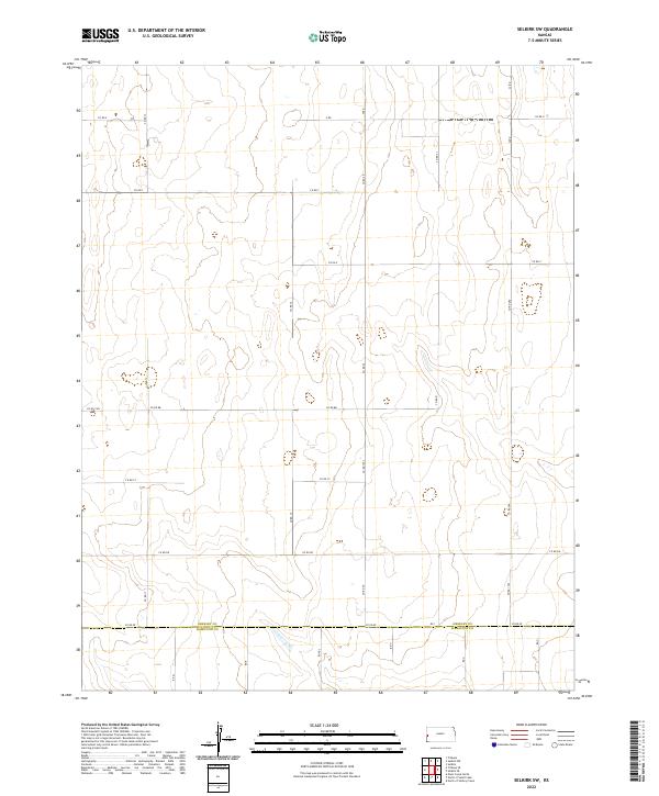
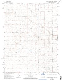
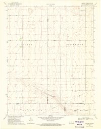
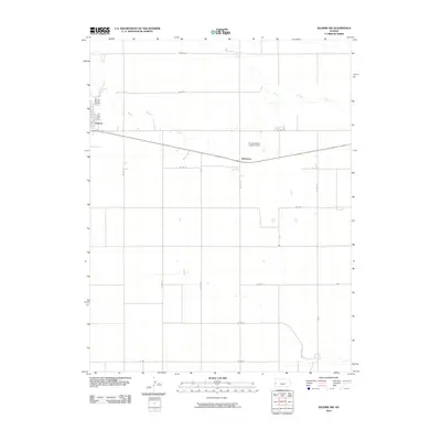
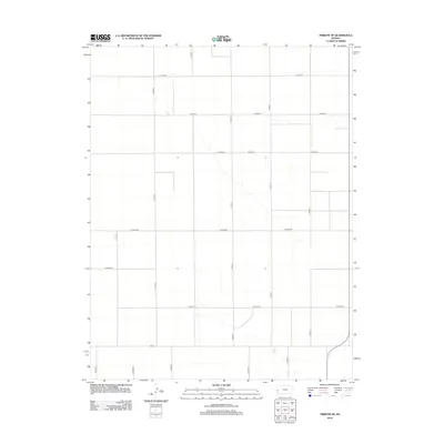
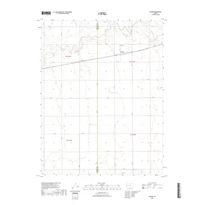
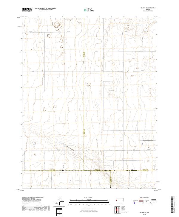
2022 Map of Selkirk SW
USGS Topo · Published 2022About this map
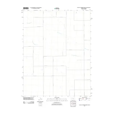
The Greeley Co Hamilton Co boundary line anchors the southern portion of this landscape, marking the transition between two High Plains jurisdictions. This area is defined by a rigorous grid of section lines and gravel roads, including Co Rd 1993 and Co Rd 289, which provide access across the wide township layouts of t20s r40w and t20s r39w. The land remains primarily agricultural, with small depressions and intermittent water features scattered throughout the terrain, reflecting the typical hydrology of the western Kansas prairie.
Find a feature on this map
31 named features on this map. Tap any name to fly to it.
Don’t see what you’re looking for? This feature index may not catch every label — zoom into the map to look around manually.
Map Details
Editions of this 2022 Selkirk SW Map
This is the sole edition of this map. No revisions or reprints were ever made.
Historical Maps of Tribune Township Through Time
84 maps found
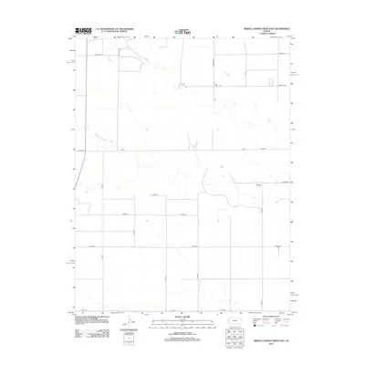
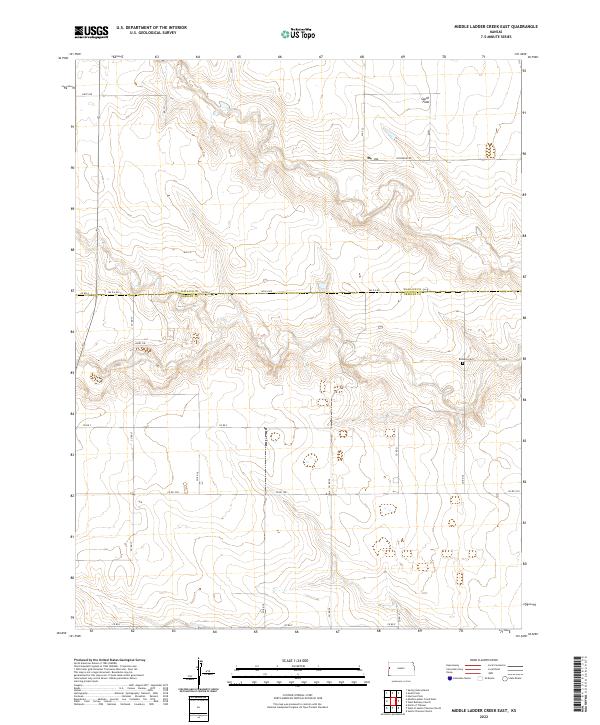
1968 Middle Ladder Creek East
Greeley County, KS
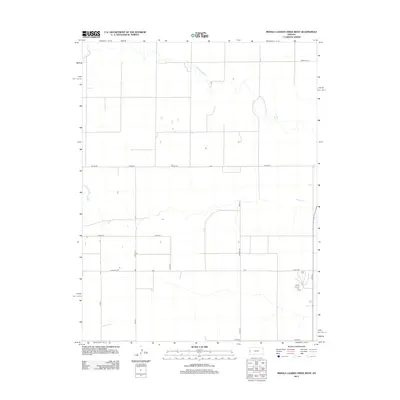
1968 Middle Ladder Creek West
Greeley County, KS
1968 Stockholm Cemetery
Greeley County, KS
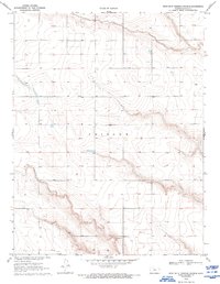
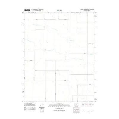
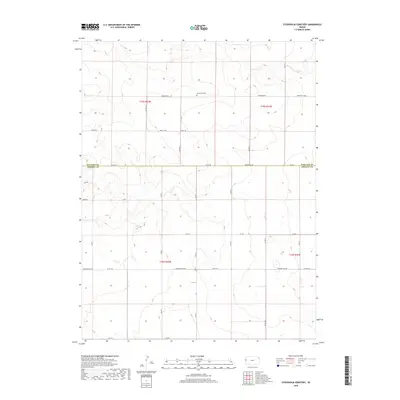
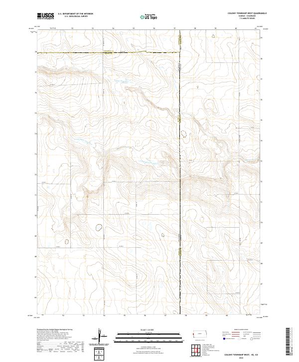
1969 Colony Township West
Greeley County, KS
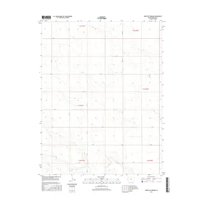
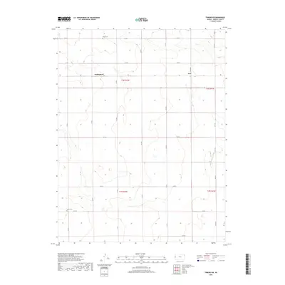
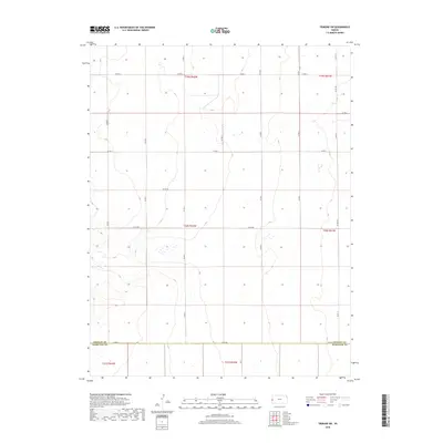
1970 North of Tribune
Greeley County, KS
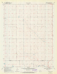
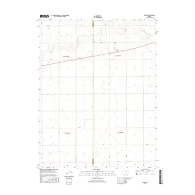
1970 Selkirk
Greeley County, KS
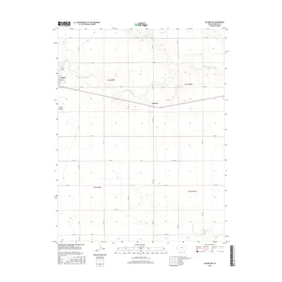
1970 Selkirk NW
Greeley County, KS
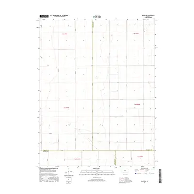
1970 Selkirk SE
Greeley County, KS
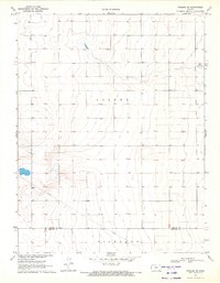
1970 Selkirk SW
Greeley County, KS
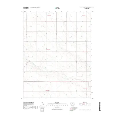
1970 South of Stockholm Cemetery
Greeley County, KS
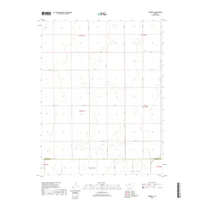
1970 Tribune NW
Greeley County, KS
1970 Tribune SE
Greeley County, KS
1970 Tribune SW
Greeley County, KS
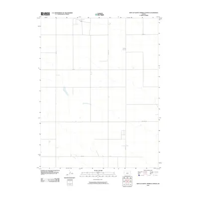
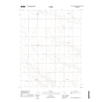
1970 West of St. Theresa Church
Greeley County, KS
2010 Colony Township West
Greeley County, KS
2010 Middle Ladder Creek East
Greeley County, KS
2010 Middle Ladder Creek West
Greeley County, KS
2010 North of Tribune
Greeley County, KS
2010 Selkirk
Greeley County, KS
2010 Selkirk NW
Greeley County, KS
2010 Selkirk SE
Greeley County, KS
2010 Selkirk SW
Greeley County, KS
2010 South of Stockholm Cemetery
Greeley County, KS
2010 Stockholm Cemetery
Greeley County, KS
2010 Tribune NW
Greeley County, KS
2010 Tribune SE
Greeley County, KS
2010 Tribune SW
Greeley County, KS
2010 West of Sainte Theresa Church
Greeley County, KS
2012 Colony Township West
Greeley County, KS
2012 Middle Ladder Creek East
Greeley County, KS
2012 Middle Ladder Creek West
Greeley County, KS
2012 North of Tribune
Greeley County, KS
2012 Selkirk
Greeley County, KS
2012 Selkirk NW
Greeley County, KS
2012 Selkirk SE
Greeley County, KS
2012 Selkirk SW
Greeley County, KS
2012 South of Stockholm Cemetery
Greeley County, KS
2012 Stockholm Cemetery
Greeley County, KS
2012 Tribune NW
Greeley County, KS
2012 Tribune SE
Greeley County, KS
2012 Tribune SW
Greeley County, KS
2012 West of Sainte Theresa Church
Greeley County, KS
2015 Middle Ladder Creek East
Greeley County, KS
2015 North of Tribune
Greeley County, KS
2015 Selkirk
Greeley County, KS
2015 Selkirk NW
Greeley County, KS
2015 Selkirk SE
Greeley County, KS
2015 South of Stockholm Cemetery
Greeley County, KS
2015 Stockholm Cemetery
Greeley County, KS
2015 Tribune NW
Greeley County, KS
2015 Tribune SE
Greeley County, KS
2015 Tribune SW
Greeley County, KS
2015 West of Sainte Theresa Church
Greeley County, KS

2016 Colony Township West
Greeley County, KS
2016 Middle Ladder Creek West
Greeley County, KS
2016 Selkirk SW
Greeley County, KS
2018 Colony Township West
Greeley County, KS
2018 Middle Ladder Creek East
Greeley County, KS
2018 Middle Ladder Creek West
Greeley County, KS
2018 North of Tribune
Greeley County, KS
2018 Selkirk
Greeley County, KS
2018 Selkirk NW
Greeley County, KS
2018 Selkirk SE
Greeley County, KS
2018 Selkirk SW
Greeley County, KS
2018 South of Stockholm Cemetery
Greeley County, KS
2018 Stockholm Cemetery
Greeley County, KS
2018 Tribune NW
Greeley County, KS
2018 Tribune SE
Greeley County, KS
2018 Tribune SW
Greeley County, KS
2018 West of Sainte Theresa Church
Greeley County, KS
2022 Colony Township West
Greeley County, KS
2022 Middle Ladder Creek East
Greeley County, KS
2022 Middle Ladder Creek West
Greeley County, KS
2022 North of Tribune
Greeley County, KS
2022 Selkirk
Greeley County, KS
2022 Selkirk NW
Greeley County, KS
2022 Selkirk SE
Greeley County, KS
2022 Selkirk SW
Greeley County, KS
2022 South of Stockholm Cemetery
Greeley County, KS
2022 Stockholm Cemetery
Greeley County, KS
2022 Tribune NW
Greeley County, KS
2022 Tribune SE
Greeley County, KS
2022 Tribune SW
Greeley County, KS
2022 West of Sainte Theresa Church
Greeley County, KS