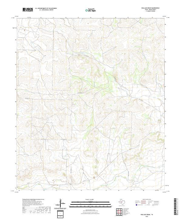
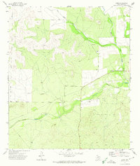
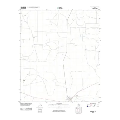
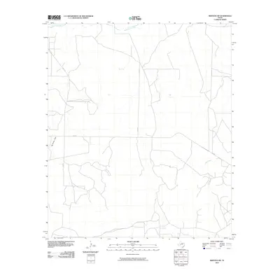
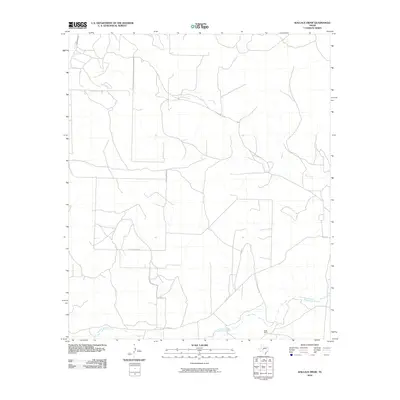
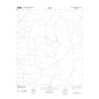
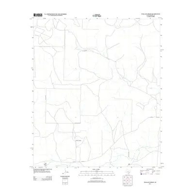
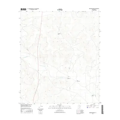
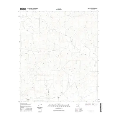
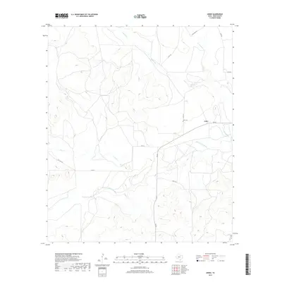
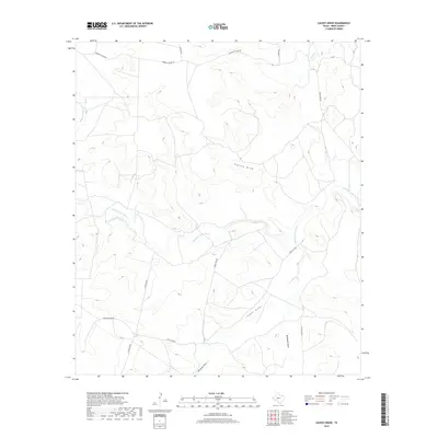
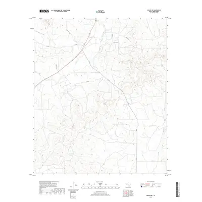
2022 Map of Wallace Draw
USGS Topo · Published 2022About this map
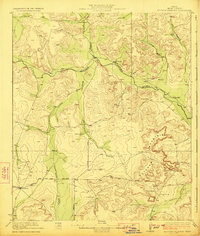
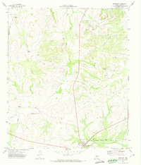
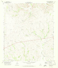
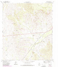
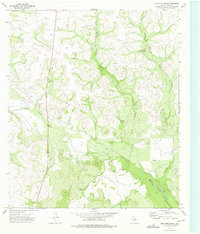
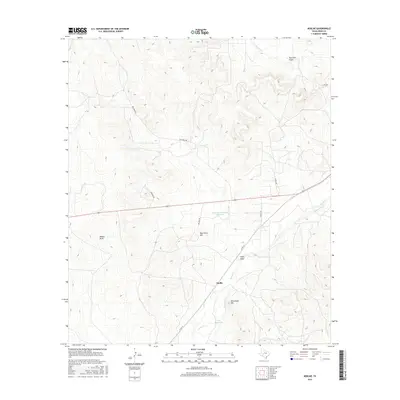
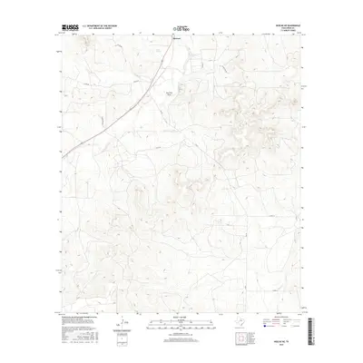
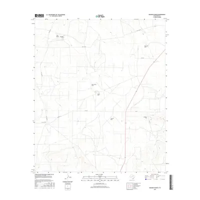
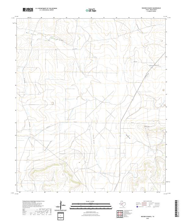
The Middle Concho River cuts across the southern edge of this West Texas landscape, serving as the primary drainage for a network of intermittent watercourses that define the Irion County terrain. Among these is Wallace Draw, which gives this quadrangle its name, alongside the winding path of Dry Cr. The land is marked by a sparse but functional network of ranch roads and thoroughfares that trace the contours of the draws and ridges. Named routes such as Hell Hole Rd and Cattle Guard 8 Rd suggest the practical, rugged nature of land management in this cattle-country environment. This modern survey illustrates the persistent ranching infrastructure of the region, where access is maintained via unpaved connectors like Andy Suggs Rd and Co Rd 411, reflecting the long-term patterns of land use and family holdings in the Concho Valley.
Find a feature on this map
8 named features on this map. Tap any name to fly to it.
Don’t see what you’re looking for? This feature index may not catch every label — zoom into the map to look around manually.
Map Details
Editions of this 2022 Wallace Draw Map
This is the sole edition of this map. No revisions or reprints were ever made.
Historical Maps of Irion County Through Time
71 maps found
1895 Sherwood
Irion County, TX
1920 Barnhart
Irion County, TX
1921 Ketchum Mountain
Irion County, TX

1922 Barnhart
Irion County, TX
1923 Ketchum Mountain
Irion County, TX
1971 Barnhart
Irion County, TX
1971 Barnhart NE
Irion County, TX
1971 Noelke
Irion County, TX
1972 Arden
Irion County, TX
1972 Mertzon SW
Irion County, TX
1972 Noelke NE
Irion County, TX
1972 Wallace Draw
Irion County, TX
1973 Bradford Draw
Irion County, TX
1973 Causey Draw
Irion County, TX
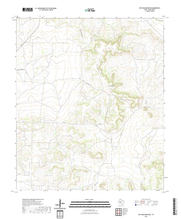
1973 Ketchum Mountain
Irion County, TX

1973 Rocker B Ranch
Irion County, TX
2010 Arden
Irion County, TX
2010 Barnhart
Irion County, TX

2010 Barnhart NE
Irion County, TX
2010 Bradford Draw
Irion County, TX
2010 Causey Draw
Irion County, TX
2010 Ketchum Mountain
Irion County, TX
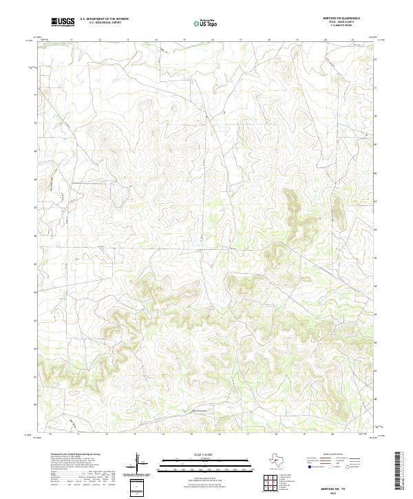
2010 Mertzon SW
Irion County, TX
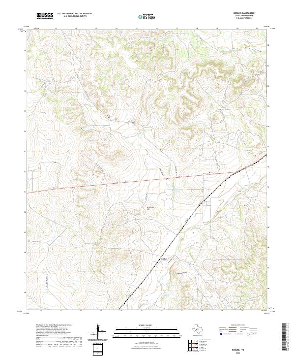
2010 Noelke
Irion County, TX
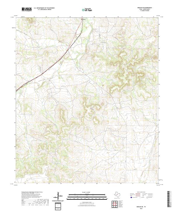
2010 Noelke NE
Irion County, TX
2010 Rocker B Ranch
Irion County, TX
2010 Wallace Draw
Irion County, TX

2012 Arden
Irion County, TX

2012 Barnhart
Irion County, TX
2012 Barnhart NE
Irion County, TX
2012 Bradford Draw
Irion County, TX
2012 Causey Draw
Irion County, TX
2012 Ketchum Mountain
Irion County, TX
2012 Mertzon SW
Irion County, TX

2012 Noelke
Irion County, TX
2012 Noelke NE
Irion County, TX
2012 Rocker B Ranch
Irion County, TX
2013 Wallace Draw
Irion County, TX
2016 Arden
Irion County, TX
2016 Barnhart
Irion County, TX
2016 Barnhart NE
Irion County, TX
2016 Bradford Draw
Irion County, TX
2016 Causey Draw
Irion County, TX
2016 Ketchum Mountain
Irion County, TX
2016 Mertzon SW
Irion County, TX
2016 Noelke
Irion County, TX
2016 Noelke NE
Irion County, TX
2016 Rocker B Ranch
Irion County, TX
2016 Wallace Draw
Irion County, TX
2019 Arden
Irion County, TX
2019 Barnhart
Irion County, TX
2019 Barnhart NE
Irion County, TX
2019 Bradford Draw
Irion County, TX
2019 Causey Draw
Irion County, TX
2019 Ketchum Mountain
Irion County, TX
2019 Mertzon SW
Irion County, TX
2019 Noelke
Irion County, TX
2019 Noelke NE
Irion County, TX
2019 Rocker B Ranch
Irion County, TX
2019 Wallace Draw
Irion County, TX
2022 Arden
Irion County, TX
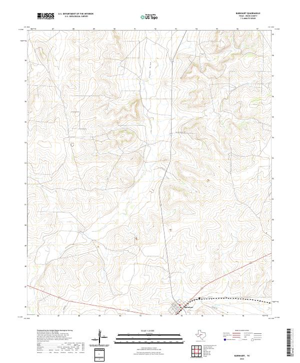
2022 Barnhart
Irion County, TX
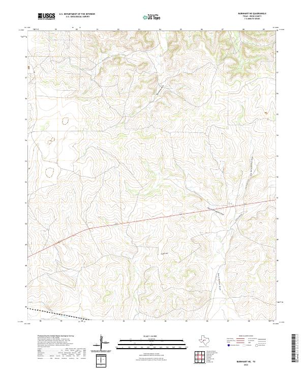
2022 Barnhart NE
Irion County, TX
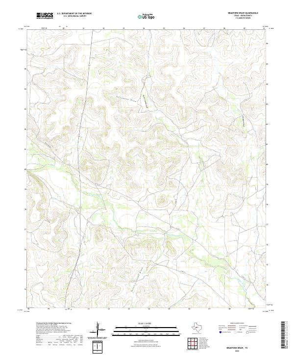
2022 Bradford Draw
Irion County, TX
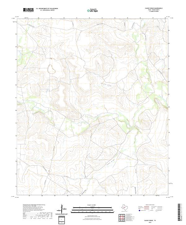
2022 Causey Draw
Irion County, TX
2022 Ketchum Mountain
Irion County, TX
2022 Mertzon SW
Irion County, TX
2022 Noelke
Irion County, TX
2022 Noelke NE
Irion County, TX
2022 Rocker B Ranch
Irion County, TX
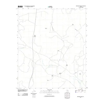
2022 Wallace Draw
Irion County, TX