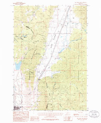
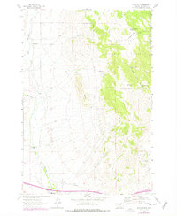
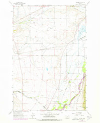
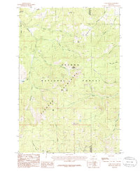
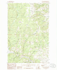
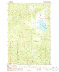
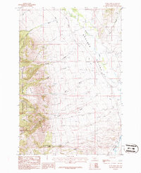
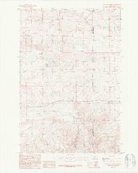
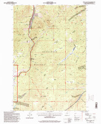
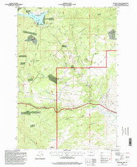
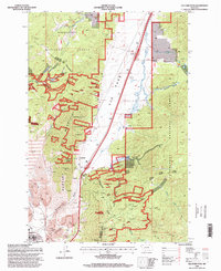
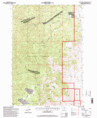
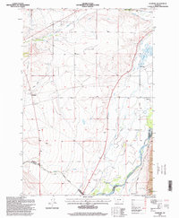
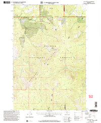
1985 Map of Elk Park Pass
USGS Topo · Published 1986This historical map portrays the area of Elk Park Pass in 1985, primarily covering Jefferson County as well as portions of Silver Bow County. Featuring a scale of 1:24000, this map provides a highly detailed snapshot of the terrain, roads, buildings, counties, and historical landmarks in the Elk Park Pass region at the time. Published in 1986, it is one of 2 known editions of this map due to revisions or reprints.
Find a feature on this map
30 named features on this map. Tap any name to fly to it.
Don’t see what you’re looking for? This feature index may not catch every label — zoom into the map to look around manually.
Map Details
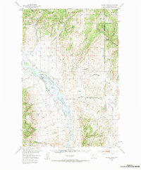
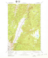
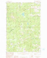
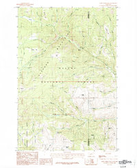
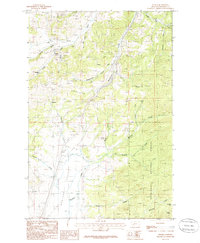
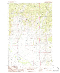
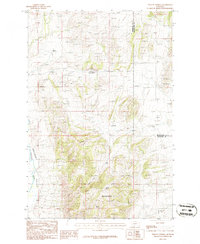
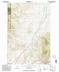
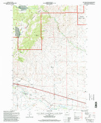
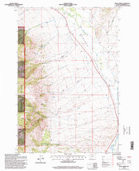
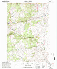
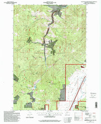
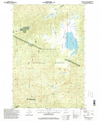
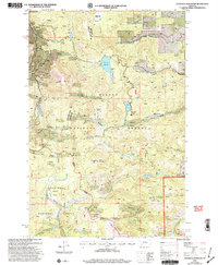
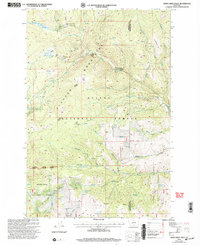
Editions of this 1985 Elk Park Pass Map
2 editions found
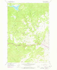
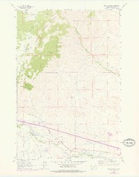
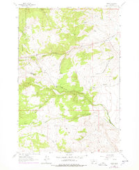
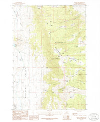
Historical Maps of Jefferson County Through Time
56 maps found
1950 Devils Fence
Jefferson County, MT
1950 Jefferson Island
Jefferson County, MT
1954 Elk Park
Jefferson County, MT
1963 Black Butte
Jefferson County, MT
1963 Delmoe Lake
Jefferson County, MT
1963 Dry Mountain
Jefferson County, MT
1963 Grace
Jefferson County, MT
1963 Vendome
Jefferson County, MT
1985 Bison Canyon
Jefferson County, MT
1985 Boulder East
Jefferson County, MT
1985 Boulder West
Jefferson County, MT
1985 Casey Peak
Jefferson County, MT
1985 Chessman Reservoir
Jefferson County, MT
1985 Crow Creek Falls
Jefferson County, MT
1985 Elk Park Pass
Jefferson County, MT
1985 Mount Thompson
Jefferson County, MT
1985 Ratio Mountain
Jefferson County, MT
1985 Sheepshead Mountain
Jefferson County, MT
1985 Thunderbolt Creek
Jefferson County, MT
1985 Whitetail Peak
Jefferson County, MT
1985 Wickes
Jefferson County, MT
1985 Wilson Park
Jefferson County, MT
1986 Devils Fence
Jefferson County, MT
1986 Dunn Creek
Jefferson County, MT
1986 Tacoma Park
Jefferson County, MT
1986 Willow Springs
Jefferson County, MT
1987 Doherty Mountain
Jefferson County, MT
1987 Milligan Canyon
Jefferson County, MT

1987 Negro Hollow
Jefferson County, MT
1987 Sappington
Jefferson County, MT
1989 Lockhart Meadows
Jefferson County, MT
1994 Butte North
Jefferson County, MT
1996 Bison Canyon
Jefferson County, MT
1996 Black Butte
Jefferson County, MT
1996 Boulder East
Jefferson County, MT
1996 Boulder West
Jefferson County, MT
1996 Delmoe Lake
Jefferson County, MT
1996 Doherty Mountain
Jefferson County, MT
1996 Dry Mountain
Jefferson County, MT
1996 Dunn Creek
Jefferson County, MT
1996 Elk Park Pass
Jefferson County, MT
1996 Grace
Jefferson County, MT
1996 Lockhart Meadows
Jefferson County, MT
1996 Mount Thompson
Jefferson County, MT
1996 Ratio Mountain
Jefferson County, MT
1996 Sheepshead Mountain
Jefferson County, MT
1996 Tacoma Park
Jefferson County, MT
1996 Thunderbolt Creek
Jefferson County, MT
1996 Vendome
Jefferson County, MT
1996 Whitetail Peak
Jefferson County, MT
1996 Wickes
Jefferson County, MT
1996 Wilson Park
Jefferson County, MT
2001 Casey Peak
Jefferson County, MT
2001 Chessman Reservoir
Jefferson County, MT
2001 Crow Creek Falls
Jefferson County, MT
2001 Devils Fence
Jefferson County, MT