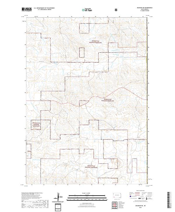
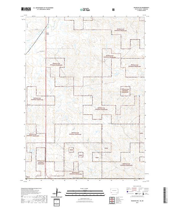
2021 Map of Oelrichs NE
USGS Topo · Published 2021About this map
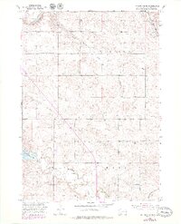
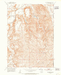
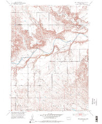
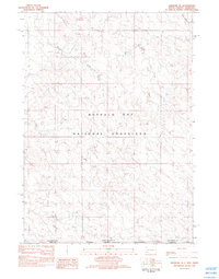
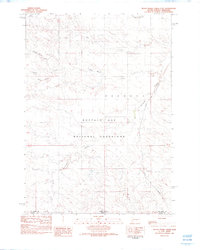
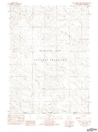
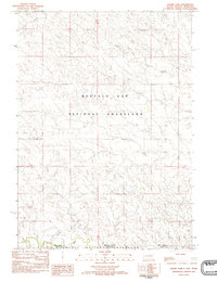
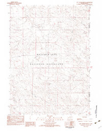
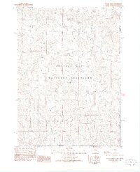
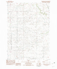
Buffalo Gap National Grassland dominates this landscape in southern South Dakota, where the intricate drainages of the Fall River Co plains shape the local geography. The map reveals a complex network of seasonal waterways, including the various branches of Blacktail Creek, such as the N Fork Blacktail Creek and S Br Blacktail Creek. These creek beds and draws, like West Kneebone Draw and Middle Kneebone Draw, dictate the flow of the land between high points like Rock Butte Creek.
Find a feature on this map
22 named features on this map. Tap any name to fly to it.
Don’t see what you’re looking for? This feature index may not catch every label — zoom into the map to look around manually.
Map Details
Editions of this 2021 Oelrichs NE Map
This is the sole edition of this map. No revisions or reprints were ever made.
Historical Maps of Pine Ridge Through Time
51 maps found
1950 Angostura Reservoir
Fall River County, SD
1950 Burdock
Fall River County, SD
1950 Cascade Springs
Fall River County, SD
1950 Edgemont NE
Fall River County, SD
1950 Edgemont SW
Fall River County, SD
1950 Flint Hill
Fall River County, SD
1950 Heppner
Fall River County, SD
1950 Hot Springs SE
Fall River County, SD
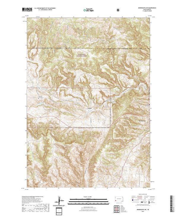
1950 Minnekahta
Fall River County, SD
1950 Rumford
Fall River County, SD
1951 Minnekahta NE
Fall River County, SD
1951 Smithwick NE
Fall River County, SD
1951 Smithwick NW
Fall River County, SD
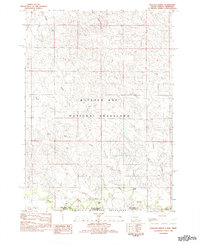
1982 Ardmore SE
Fall River County, SD
1982 Black Banks Creek East
Fall River County, SD
1982 Black Banks Creek West
Fall River County, SD
1982 Crowe Dam
Fall River County, SD
1982 Hay Canyon Butte
Fall River County, SD
1982 Heinne Creek
Fall River County, SD
1982 Lone Well Creek East
Fall River County, SD
1982 Lone Well Creek West
Fall River County, SD
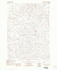
1982 Oelrichs NE
Fall River County, SD
1982 Oelrichs SW
Fall River County, SD
1982 Phister Ranch
Fall River County, SD
1982 Wallace Ranch
Fall River County, SD
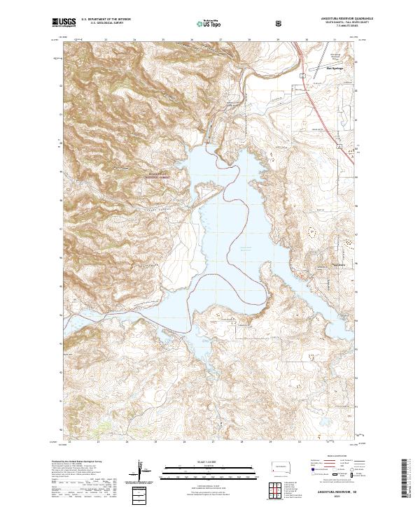
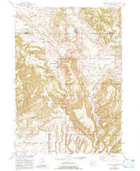
2021 Angostura Reservoir
Fall River County, SD
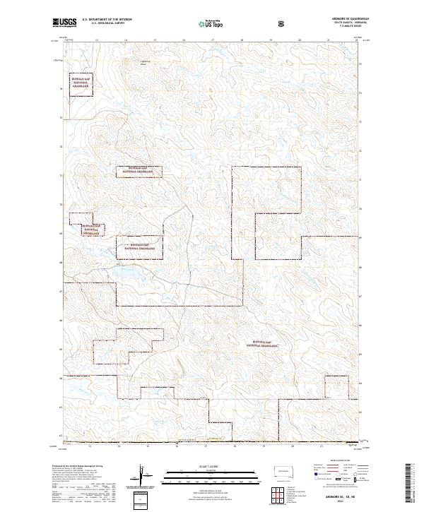
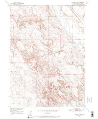
2021 Ardmore SE
Fall River County, SD
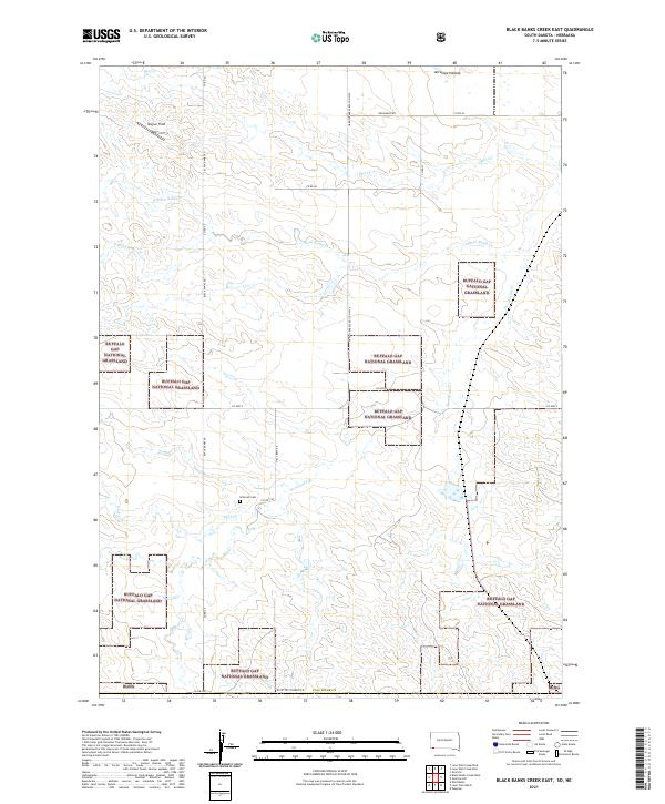
2021 Black Banks Creek East
Fall River County, SD
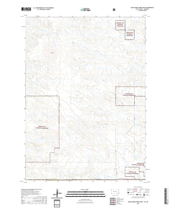
2021 Black Banks Creek West
Fall River County, SD
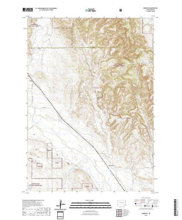
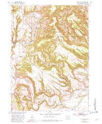
2021 Burdock
Fall River County, SD
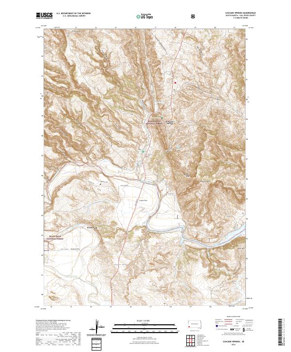
2021 Cascade Springs
Fall River County, SD
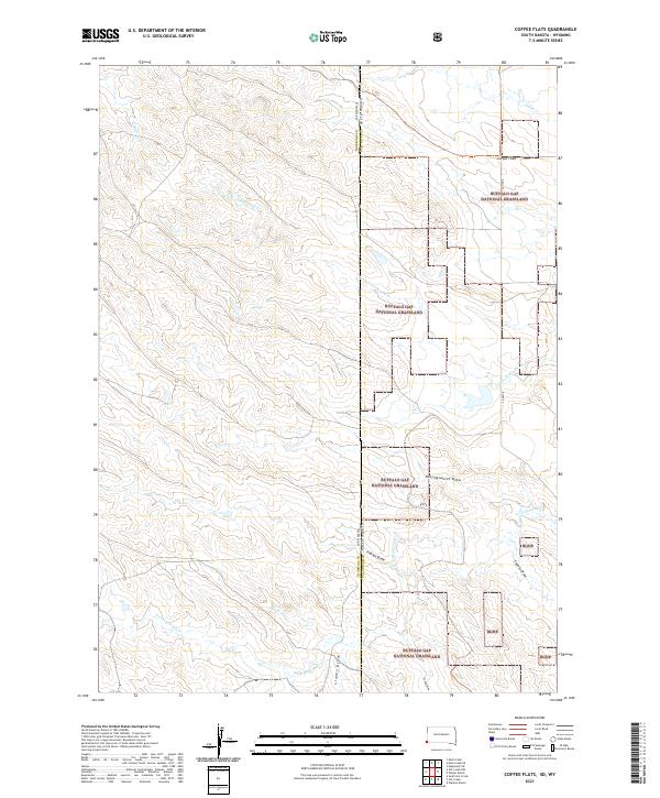
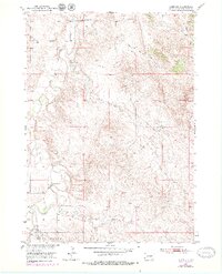
2021 Coffee Flats
Fall River County, SD
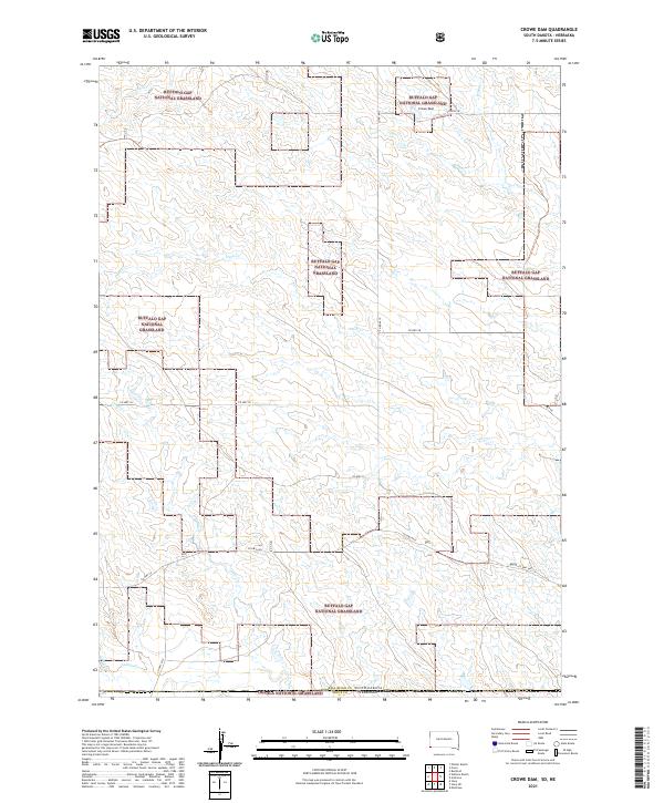
2021 Crowe Dam
Fall River County, SD
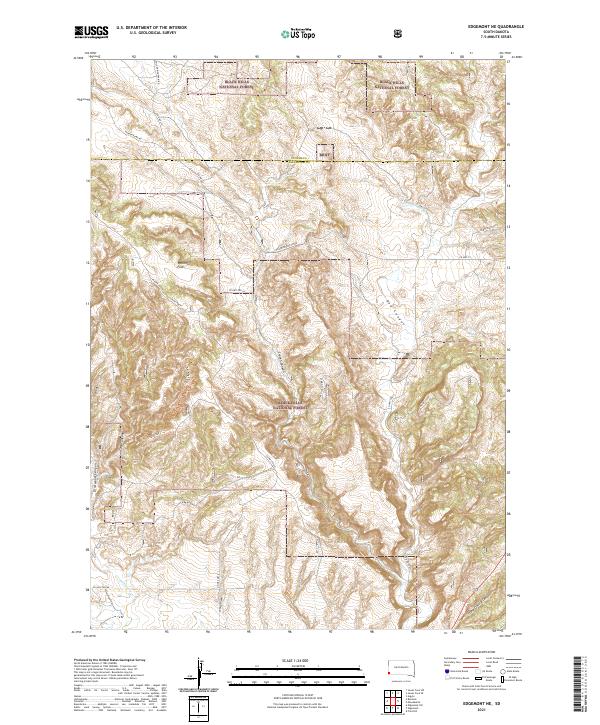
2021 Edgemont NE
Fall River County, SD
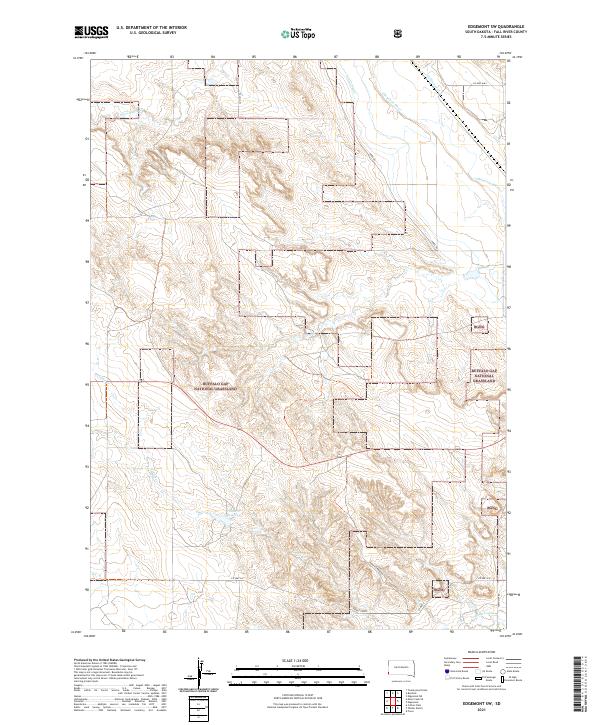
2021 Edgemont SW
Fall River County, SD
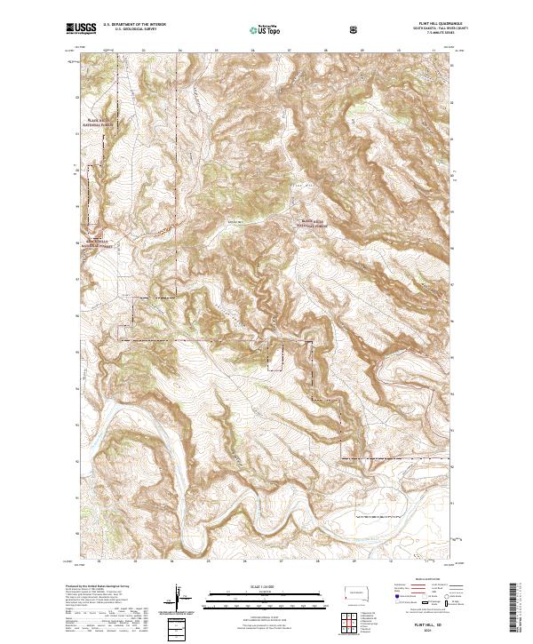
2021 Flint Hill
Fall River County, SD
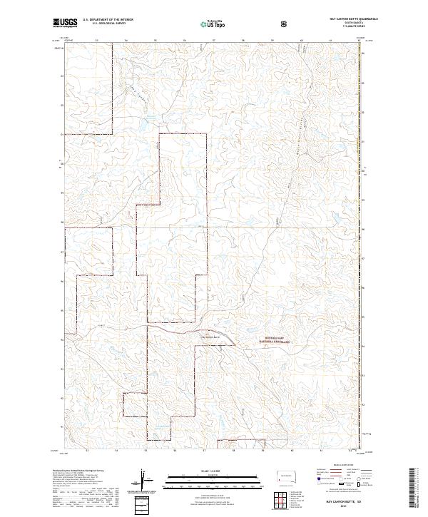
2021 Hay Canyon Butte
Fall River County, SD
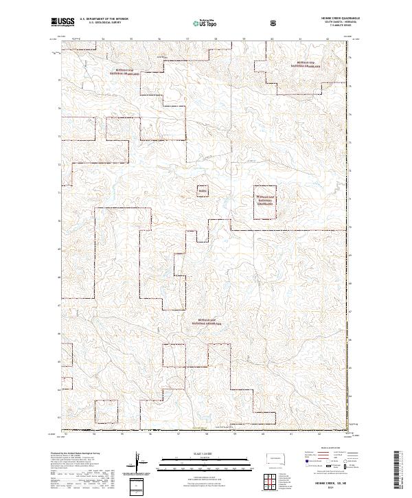
2021 Heinne Creek
Fall River County, SD
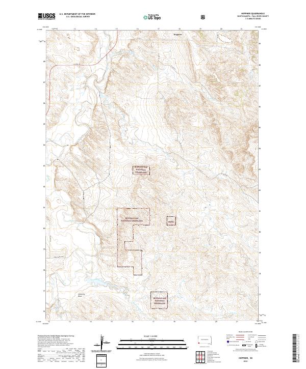
2021 Heppner
Fall River County, SD
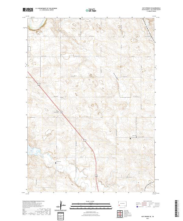
2021 Hot Springs SE
Fall River County, SD
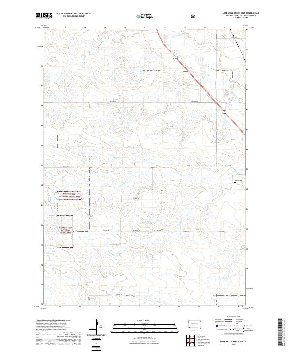
2021 Lone Well Creek East
Fall River County, SD
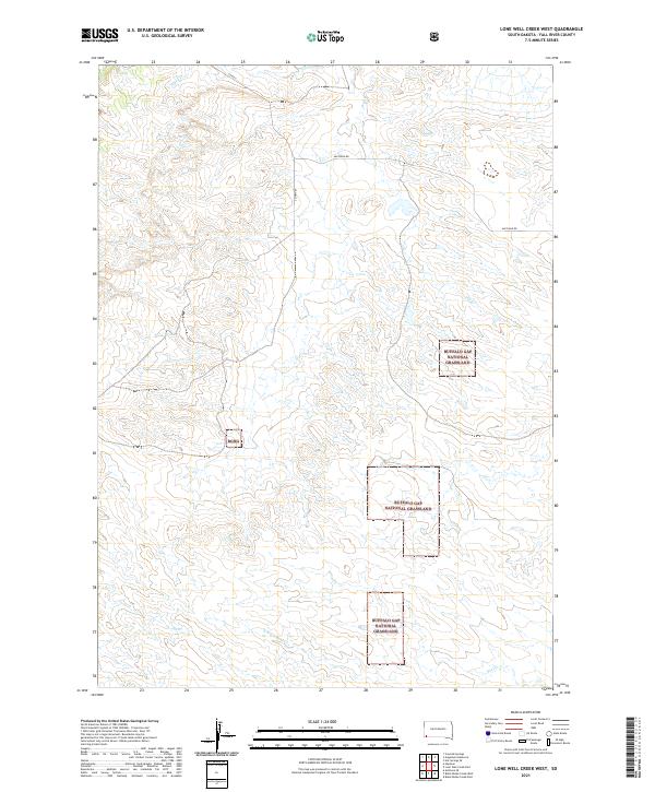
2021 Lone Well Creek West
Fall River County, SD
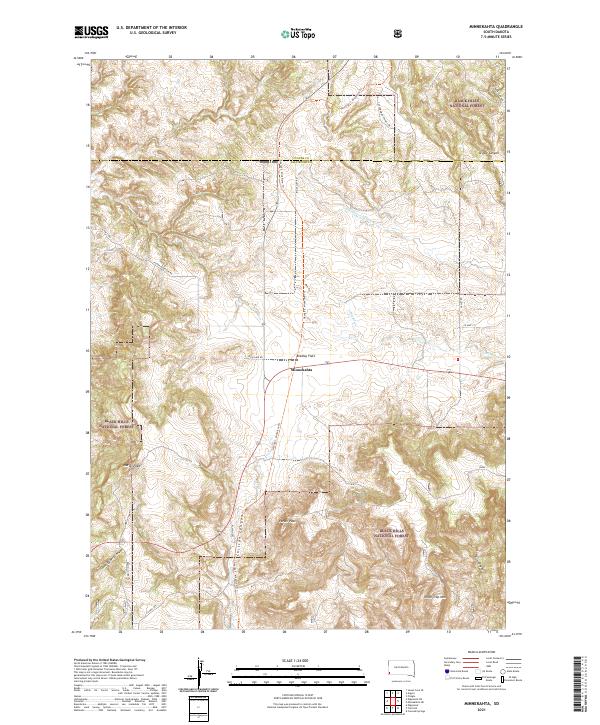
2021 Minnekahta
Fall River County, SD
2021 Minnekahta NE
Fall River County, SD
2021 Oelrichs NE
Fall River County, SD
2021 Oelrichs SW
Fall River County, SD
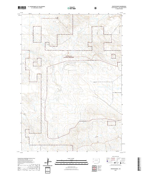
2021 Phister Ranch
Fall River County, SD
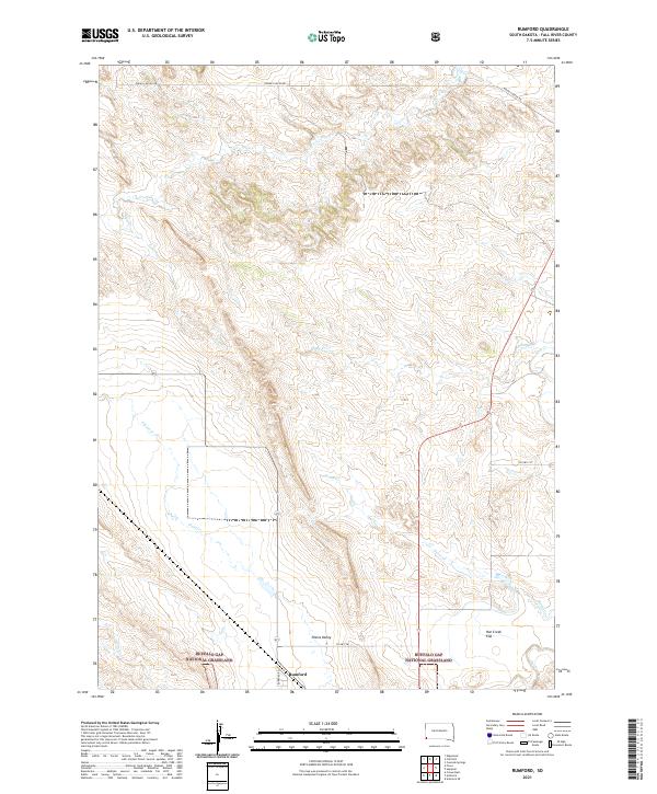
2021 Rumford
Fall River County, SD
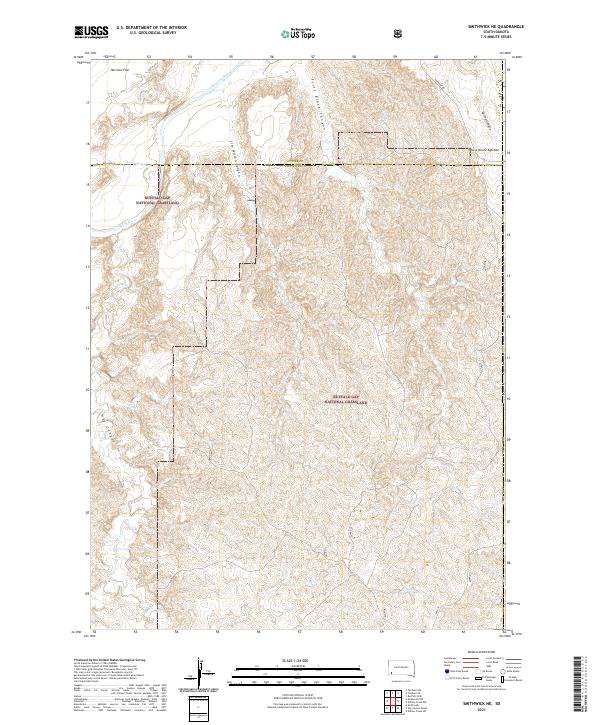
2021 Smithwick NE
Fall River County, SD
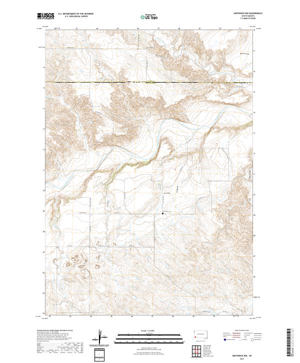
2021 Smithwick NW
Fall River County, SD
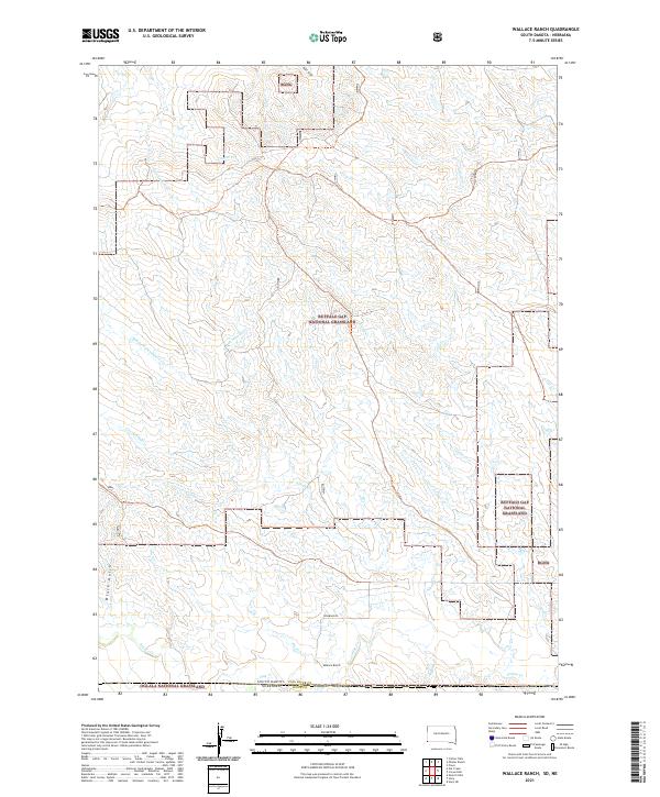
2021 Wallace Ranch
Fall River County, SD