2024 Map of Saint Cloud North
USGS Topo · Published 2024About this map
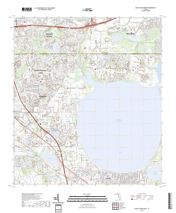
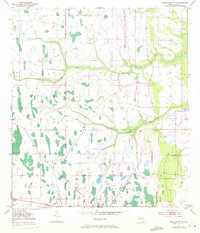
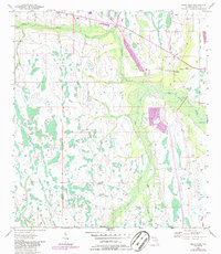
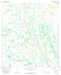
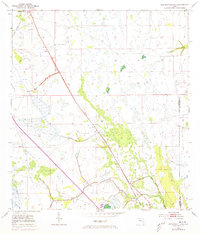
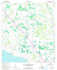
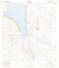
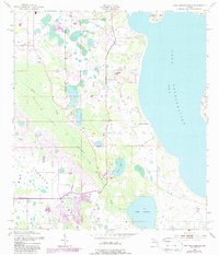
East Lake Tohopekaliga dominates this landscape, its vast shoreline anchoring a rapidly developing corridor between Orlando and St. Cloud. The map illustrates the suburban expansion around Buenaventura Lakes and Meadow Woods, where modern residential street grids like Chicago Woods Cir and Late Morning Cir meet the region's historical wetlands. Significant institutional growth is evident in the north, featuring the University of Central Florida College of Medicine and the University of Florida Academic and Research Center.
Find a feature on this map
137 named features on this map. Tap any name to fly to it.
Don’t see what you’re looking for? This feature index may not catch every label — zoom into the map to look around manually.
Map Details
Editions of this 2024 Saint Cloud North Map
This is the sole edition of this map. No revisions or reprints were ever made.
Historical Maps of Kissimmee Through Time
46 maps found
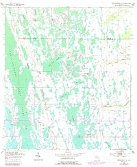
1952 Lake Weohyakapka NE
Osceola County, FL
1953 Ashton
Osceola County, FL
1953 Cypress Lake
Osceola County, FL
1953 Deer Park NW
Osceola County, FL
1953 Deer Park
Osceola County, FL

1953 Fort Drum NW
Osceola County, FL
1953 Fort Kissimmee NE
Osceola County, FL
1953 Holopaw
Osceola County, FL
1953 Holopaw SE
Osceola County, FL
1953 Holopaw SW
Osceola County, FL
1953 Intercession City
Osceola County, FL
1953 Kenansville
Osceola County, FL
1953 Kenansville SW
Osceola County, FL
1953 Lake Marian NE
Osceola County, FL
1953 Lake Marian NW
Osceola County, FL
1953 Lake Marian SE
Osceola County, FL
1953 Lake Marian SW
Osceola County, FL
1953 Lake Poinsett SW
Osceola County, FL
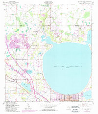
1953 Lake Tohopekaliga
Osceola County, FL
1953 Narcoossee
Osceola County, FL
1953 Narcoossee SE
Osceola County, FL
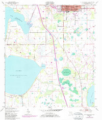
1953 St Cloud North
Osceola County, FL
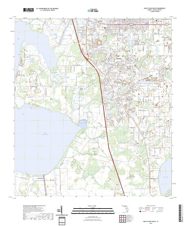
1953 St Cloud South
Osceola County, FL
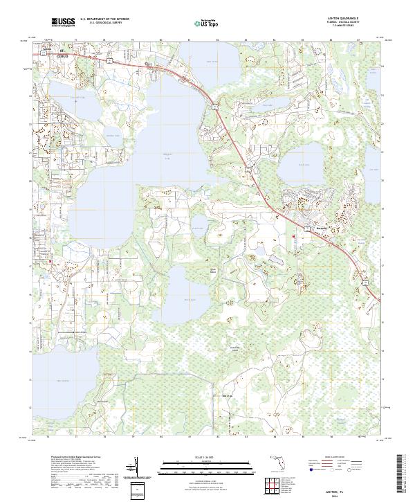
2024 Ashton
Osceola County, FL
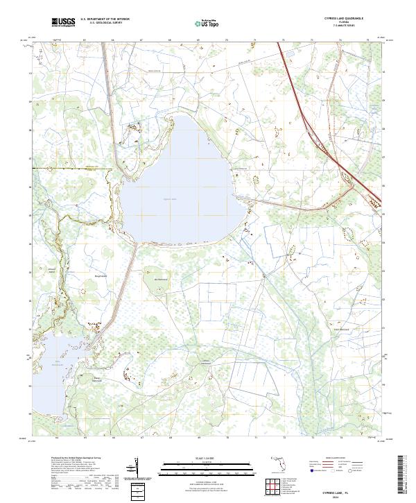
2024 Cypress Lake
Osceola County, FL
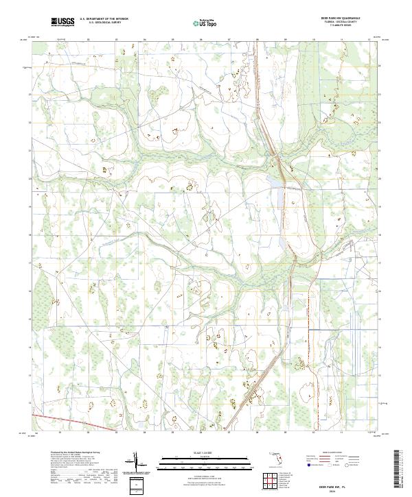
2024 Deer Park NW
Osceola County, FL
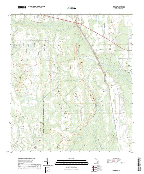
2024 Deer Park
Osceola County, FL
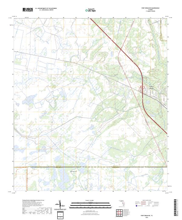
2024 Fort Drum NW
Osceola County, FL
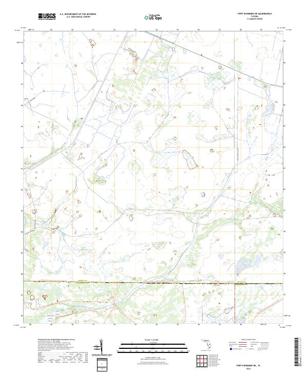
2024 Fort Kissimmee NE
Osceola County, FL
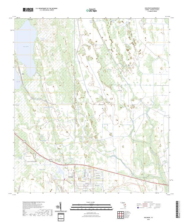
2024 Holopaw
Osceola County, FL
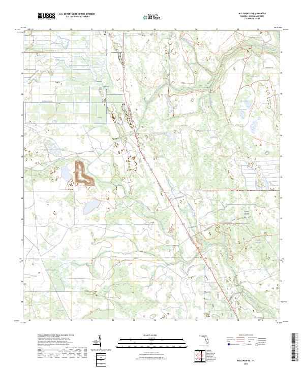
2024 Holopaw SE
Osceola County, FL
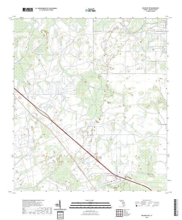
2024 Holopaw SW
Osceola County, FL
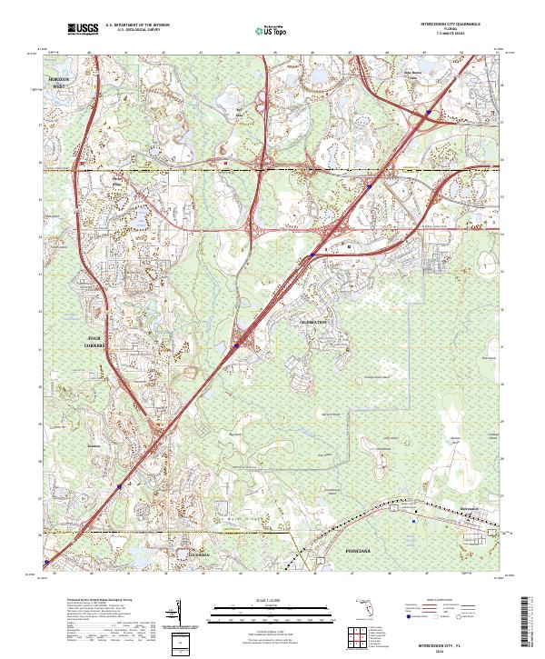
2024 Intercession City
Osceola County, FL
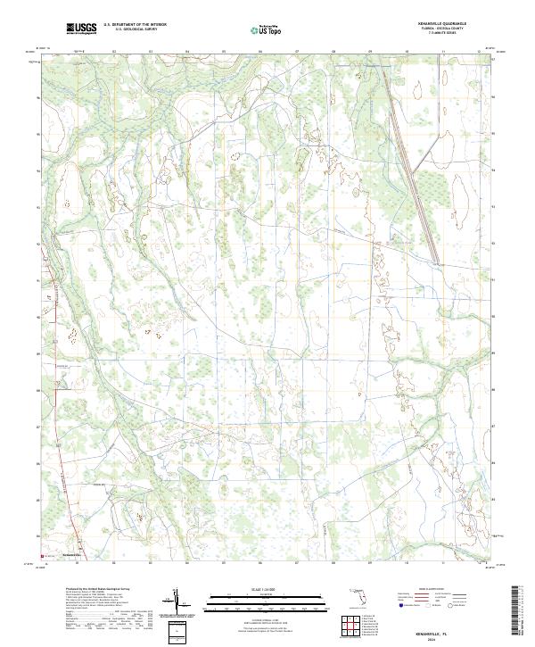
2024 Kenansville
Osceola County, FL
2024 Kenansville SW
Osceola County, FL
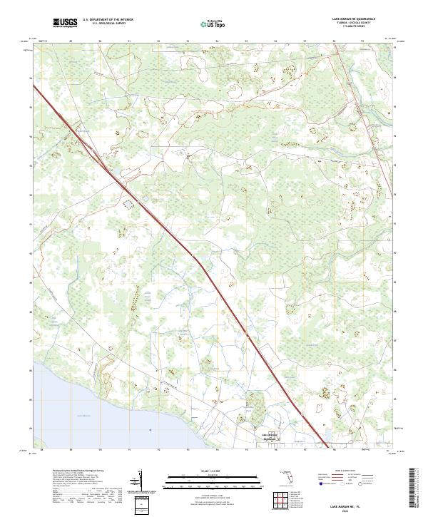
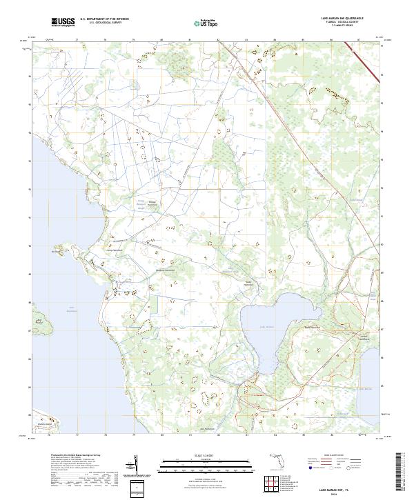
2024 Lake Marian NE
Osceola County, FL
2024 Lake Marian NW
Osceola County, FL
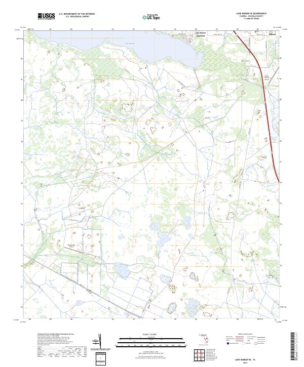
2024 Lake Marian SE
Osceola County, FL
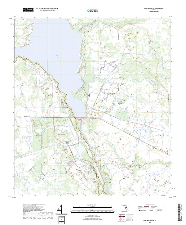
2024 Lake Marian SW
Osceola County, FL
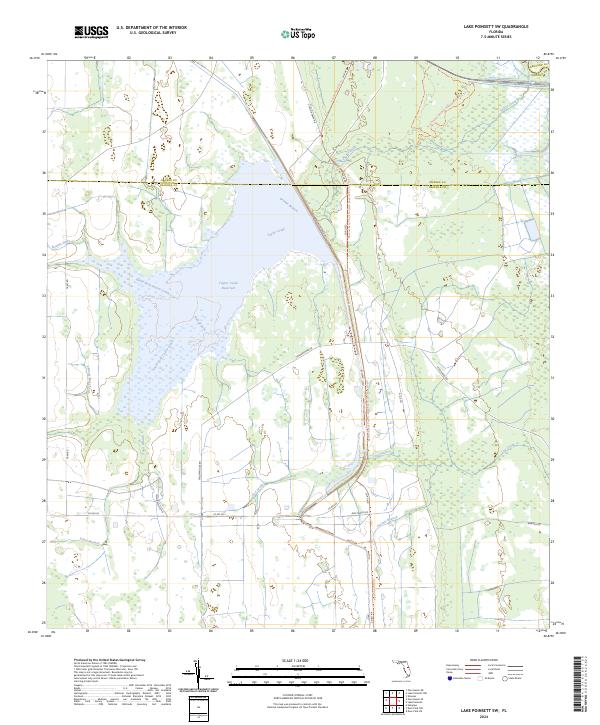
2024 Lake Poinsett SW
Osceola County, FL
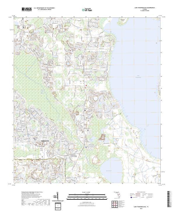
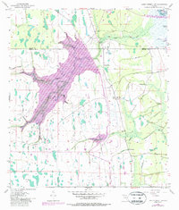
2024 Lake Tohopekaliga
Osceola County, FL
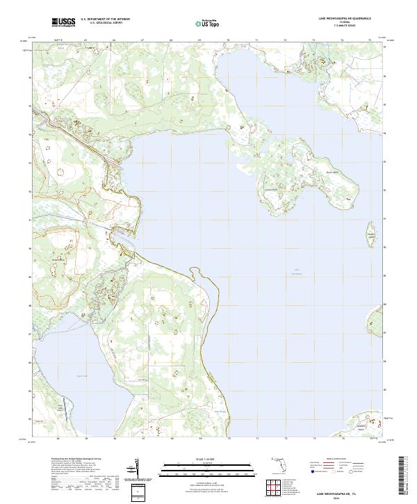
2024 Lake Weohyakapka NE
Osceola County, FL
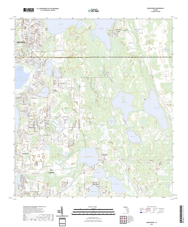
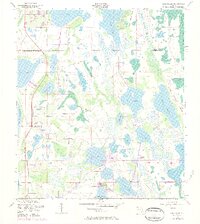
2024 Narcoossee
Osceola County, FL
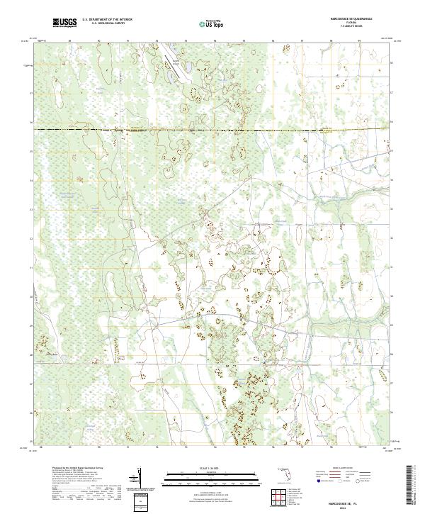
2024 Narcoossee SE
Osceola County, FL
2024 Saint Cloud North
Osceola County, FL
2024 Saint Cloud South
Osceola County, FL