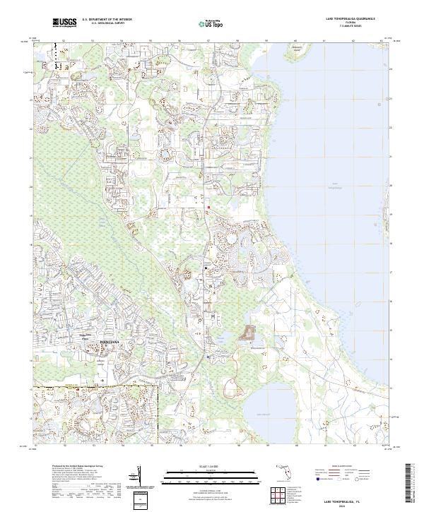
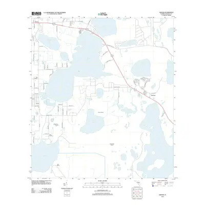
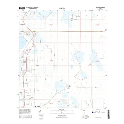
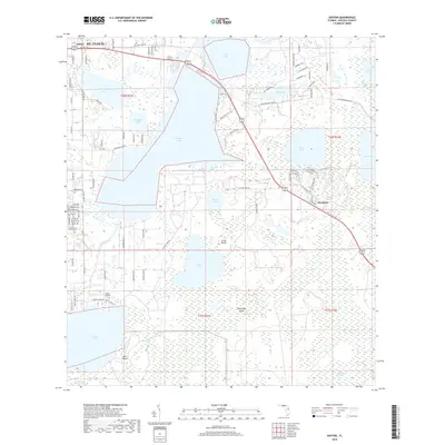
2024 Map of Lake Tohopekaliga
USGS Topo · Published 2024About this map
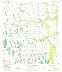
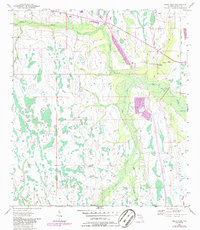
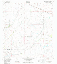
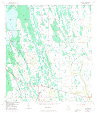
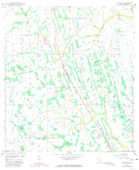
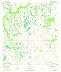
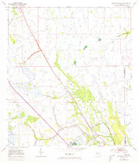
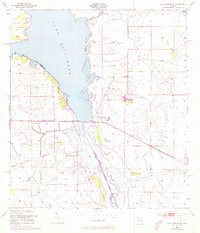
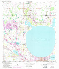
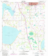
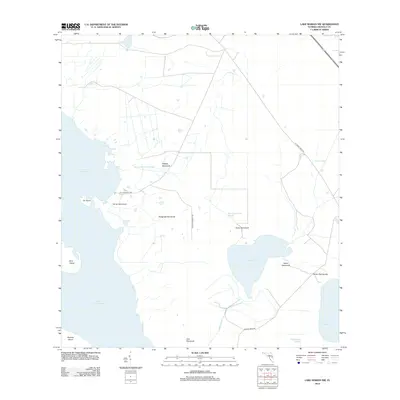
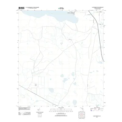
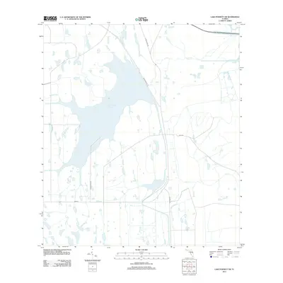
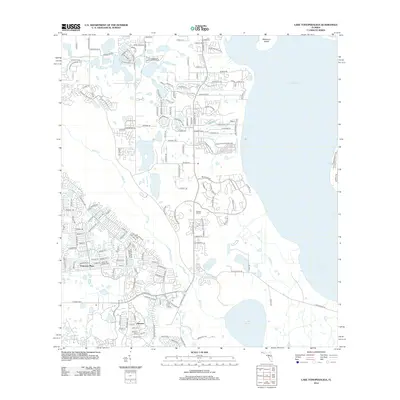
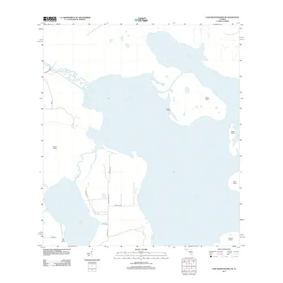
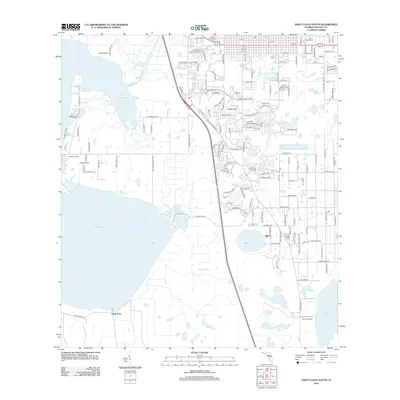
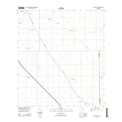
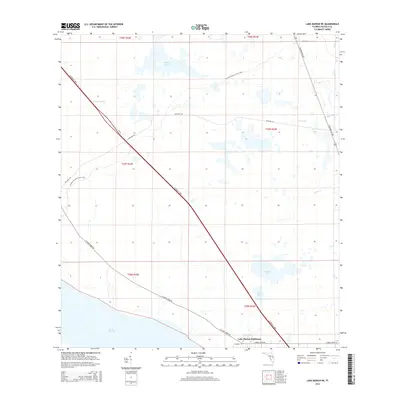
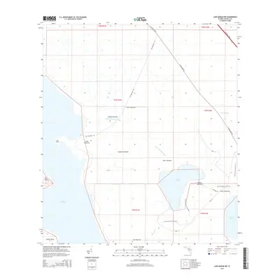
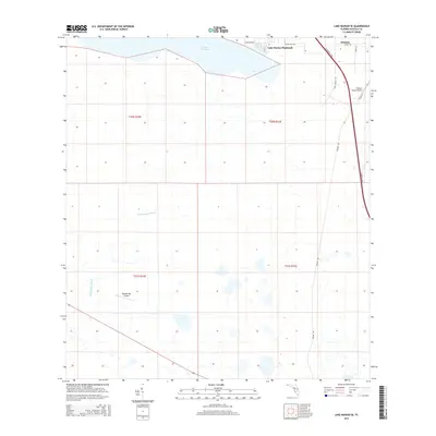
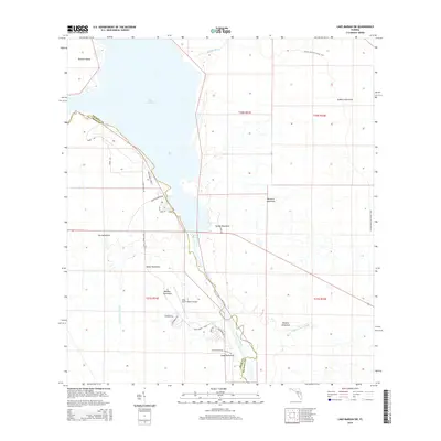
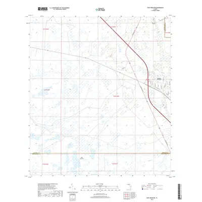
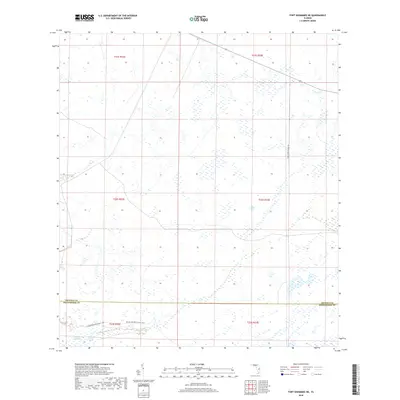
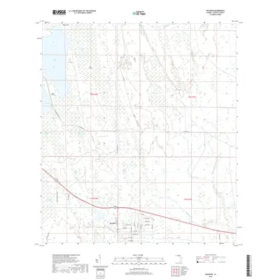
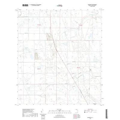
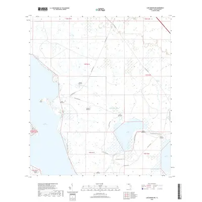
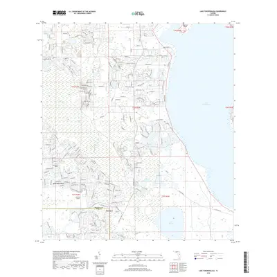
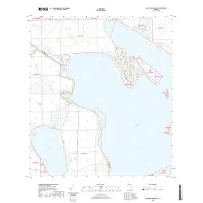
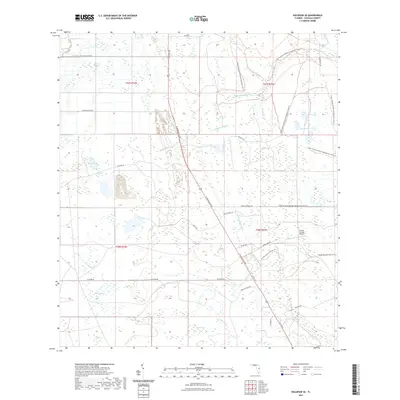
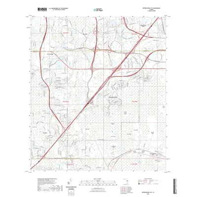
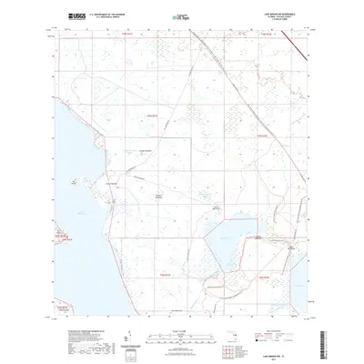
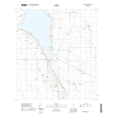
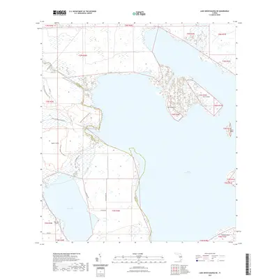
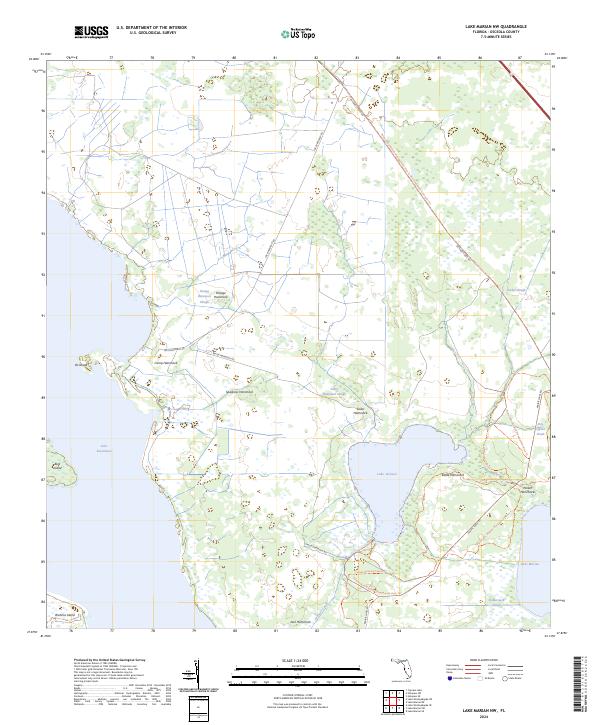
The expanding residential landscape of Poinciana dominates the western half of this Florida terrain, showing a complex network of suburban development reaching toward the shores of Lake Tohopekaliga. This modern survey illustrates the proximity of planned communities like Poinciana Place to significant natural wetlands and water bodies, including the Reedy Creek Swamp and Lake Russell. The eastern edge of the map is defined by the massive aquatic expanse of Lake Tohopekaliga, punctuated by Makinson Island in the northeast.
Find a feature on this map
75 named features on this map. Tap any name to fly to it.
Don’t see what you’re looking for? This feature index may not catch every label — zoom into the map to look around manually.
Map Details
Editions of this 2024 Lake Tohopekaliga Map
This is the sole edition of this map. No revisions or reprints were ever made.
Historical Maps of Poinciana Through Time
138 maps found
1952 Lake Weohyakapka NE
Osceola County, FL
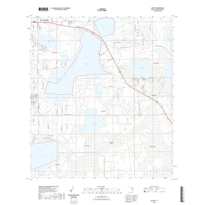
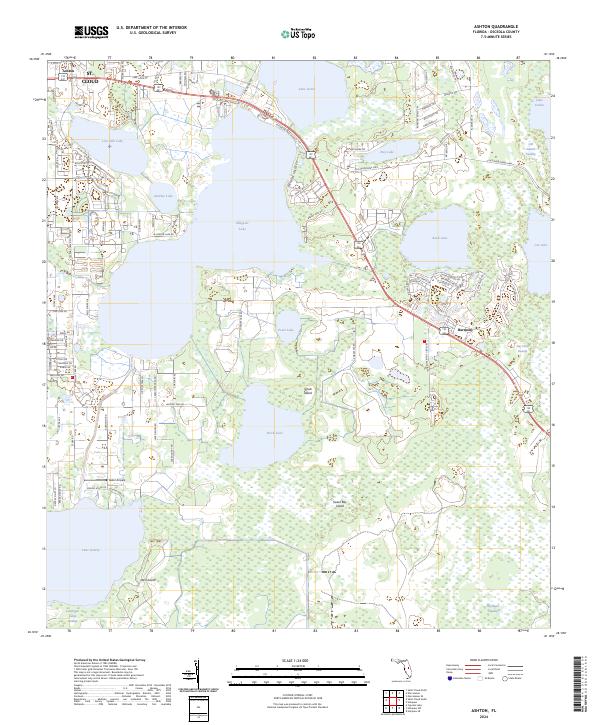
1953 Ashton
Osceola County, FL
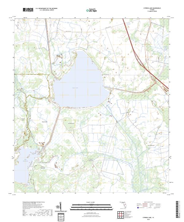
1953 Cypress Lake
Osceola County, FL
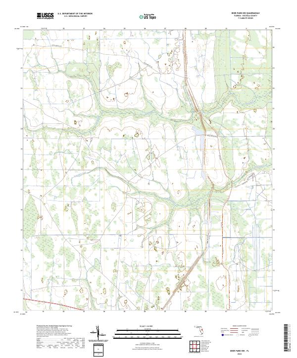
1953 Deer Park NW
Osceola County, FL
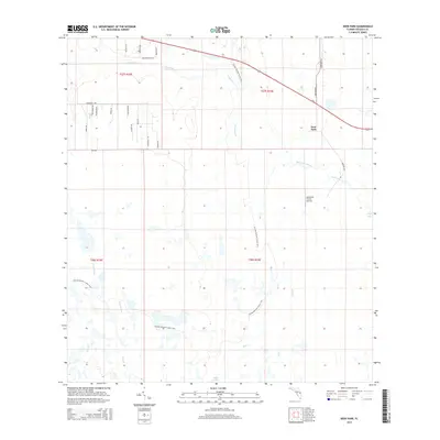
1953 Deer Park
Osceola County, FL

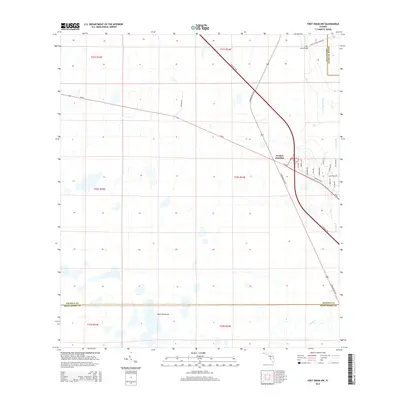
1953 Fort Drum NW
Osceola County, FL
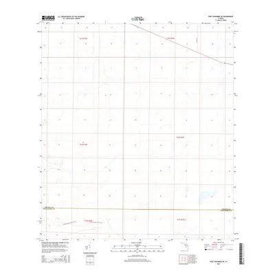
1953 Fort Kissimmee NE
Osceola County, FL
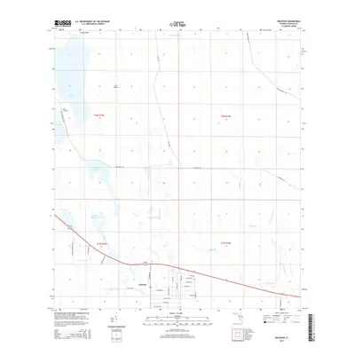
1953 Holopaw
Osceola County, FL
1953 Holopaw SE
Osceola County, FL
1953 Holopaw SW
Osceola County, FL
1953 Intercession City
Osceola County, FL
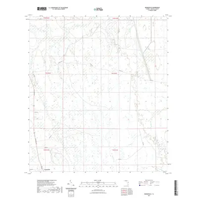
1953 Kenansville
Osceola County, FL
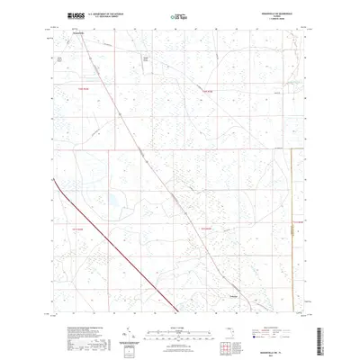
1953 Kenansville SW
Osceola County, FL
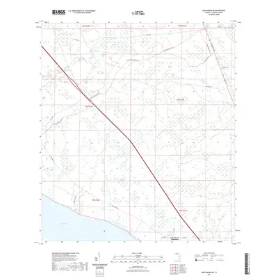
1953 Lake Marian NE
Osceola County, FL
1953 Lake Marian NW
Osceola County, FL
1953 Lake Marian SE
Osceola County, FL
1953 Lake Marian SW
Osceola County, FL
1953 Lake Poinsett SW
Osceola County, FL
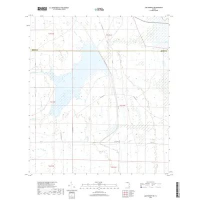
1953 Lake Tohopekaliga
Osceola County, FL
1953 Narcoossee
Osceola County, FL
1953 Narcoossee SE
Osceola County, FL
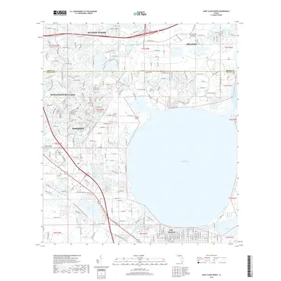
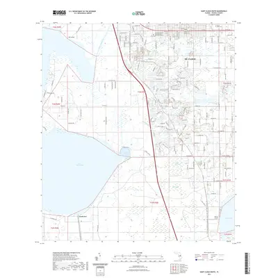
1953 St Cloud North
Osceola County, FL
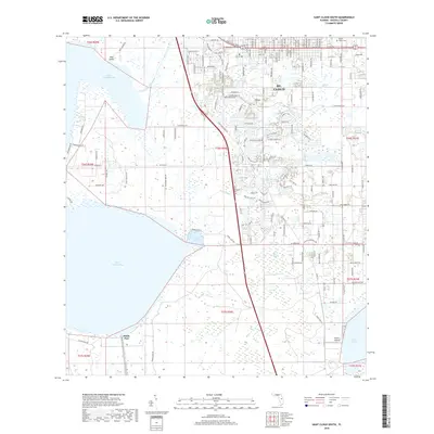
1953 St Cloud South
Osceola County, FL
2012 Ashton
Osceola County, FL
2012 Cypress Lake
Osceola County, FL
2012 Deer Park NW
Osceola County, FL
2012 Deer Park
Osceola County, FL
2012 Fort Drum NW
Osceola County, FL
2012 Fort Kissimmee NE
Osceola County, FL
2012 Holopaw
Osceola County, FL
2012 Holopaw SE
Osceola County, FL
2012 Holopaw SW
Osceola County, FL
2012 Intercession City
Osceola County, FL
2012 Kenansville
Osceola County, FL
2012 Kenansville SW
Osceola County, FL
2012 Lake Marian NE
Osceola County, FL
2012 Lake Marian NW
Osceola County, FL
2012 Lake Marian SE
Osceola County, FL

2012 Lake Marian SW
Osceola County, FL
2012 Lake Poinsett SW
Osceola County, FL
2012 Lake Tohopekaliga
Osceola County, FL
2012 Lake Weohyakapka NE
Osceola County, FL
2012 Narcoossee
Osceola County, FL
2012 Narcoossee SE
Osceola County, FL
2012 Saint Cloud North
Osceola County, FL
2012 Saint Cloud South
Osceola County, FL
2015 Ashton
Osceola County, FL
2015 Cypress Lake
Osceola County, FL
2015 Deer Park NW
Osceola County, FL
2015 Deer Park
Osceola County, FL
2015 Fort Drum NW
Osceola County, FL
2015 Fort Kissimmee NE
Osceola County, FL
2015 Holopaw
Osceola County, FL
2015 Holopaw SE
Osceola County, FL
2015 Holopaw SW
Osceola County, FL
2015 Intercession City
Osceola County, FL
2015 Kenansville
Osceola County, FL
2015 Kenansville SW
Osceola County, FL
2015 Lake Marian NE
Osceola County, FL
2015 Lake Marian NW
Osceola County, FL
2015 Lake Marian SE
Osceola County, FL
2015 Lake Marian SW
Osceola County, FL
2015 Lake Poinsett SW
Osceola County, FL
2015 Lake Tohopekaliga
Osceola County, FL
2015 Lake Weohyakapka NE
Osceola County, FL
2015 Narcoossee
Osceola County, FL
2015 Narcoossee SE
Osceola County, FL
2015 Saint Cloud North
Osceola County, FL
2015 Saint Cloud South
Osceola County, FL
2018 Ashton
Osceola County, FL
2018 Cypress Lake
Osceola County, FL
2018 Deer Park NW
Osceola County, FL
2018 Deer Park
Osceola County, FL
2018 Fort Drum NW
Osceola County, FL
2018 Fort Kissimmee NE
Osceola County, FL
2018 Holopaw
Osceola County, FL
2018 Holopaw SE
Osceola County, FL
2018 Holopaw SW
Osceola County, FL
2018 Intercession City
Osceola County, FL
2018 Kenansville
Osceola County, FL
2018 Kenansville SW
Osceola County, FL
2018 Lake Marian NE
Osceola County, FL
2018 Lake Marian NW
Osceola County, FL
2018 Lake Marian SE
Osceola County, FL
2018 Lake Marian SW
Osceola County, FL
2018 Lake Poinsett SW
Osceola County, FL
2018 Lake Tohopekaliga
Osceola County, FL
2018 Lake Weohyakapka NE
Osceola County, FL
2018 Narcoossee
Osceola County, FL
2018 Narcoossee SE
Osceola County, FL
2018 Saint Cloud North
Osceola County, FL
2018 Saint Cloud South
Osceola County, FL
2021 Ashton
Osceola County, FL
2021 Cypress Lake
Osceola County, FL
2021 Deer Park NW
Osceola County, FL
2021 Deer Park
Osceola County, FL
2021 Fort Drum NW
Osceola County, FL
2021 Fort Kissimmee NE
Osceola County, FL
2021 Holopaw
Osceola County, FL
2021 Holopaw SE
Osceola County, FL
2021 Holopaw SW
Osceola County, FL
2021 Intercession City
Osceola County, FL
2021 Kenansville
Osceola County, FL
2021 Kenansville SW
Osceola County, FL
2021 Lake Marian NE
Osceola County, FL
2021 Lake Marian NW
Osceola County, FL

2021 Lake Marian SE
Osceola County, FL
2021 Lake Marian SW
Osceola County, FL
2021 Lake Poinsett SW
Osceola County, FL
2021 Lake Tohopekaliga
Osceola County, FL
2021 Lake Weohyakapka NE
Osceola County, FL
2021 Narcoossee
Osceola County, FL
2021 Narcoossee SE
Osceola County, FL
2021 Saint Cloud North
Osceola County, FL
2021 Saint Cloud South
Osceola County, FL
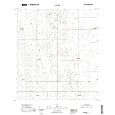
2024 Ashton
Osceola County, FL
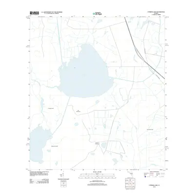
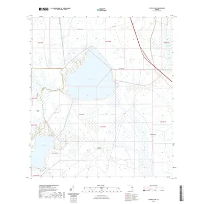
2024 Cypress Lake
Osceola County, FL
2024 Deer Park NW
Osceola County, FL
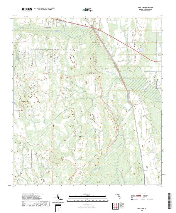
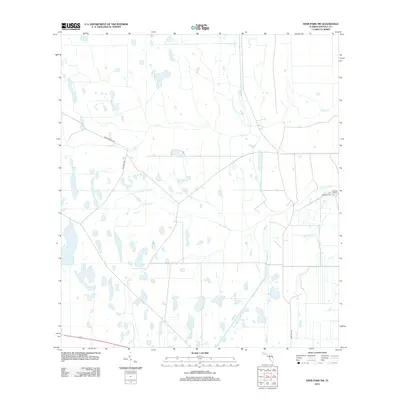
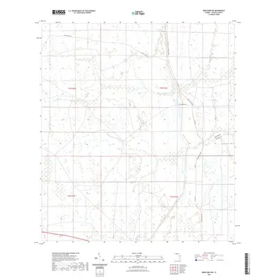
2024 Deer Park
Osceola County, FL
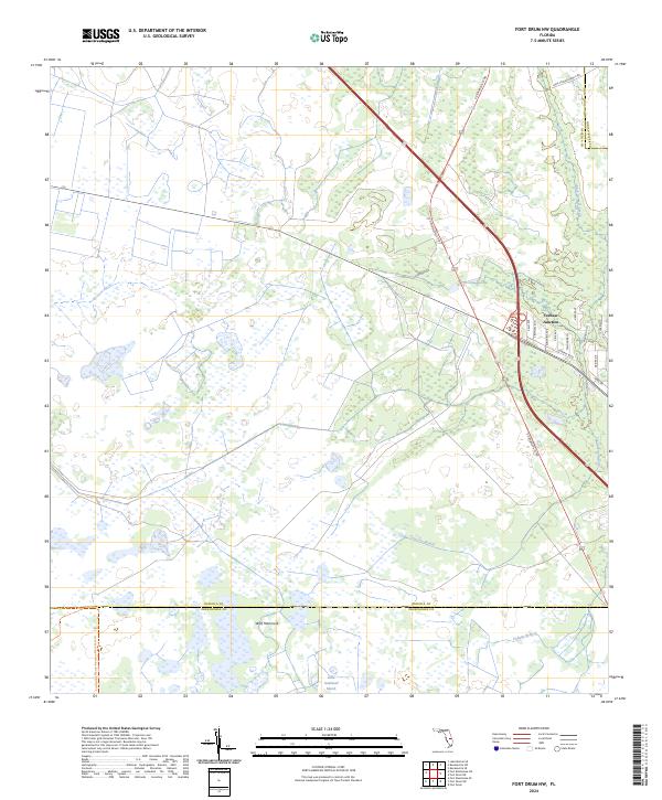
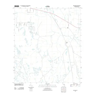
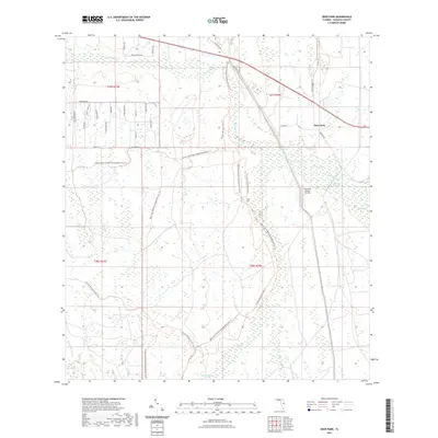
2024 Fort Drum NW
Osceola County, FL
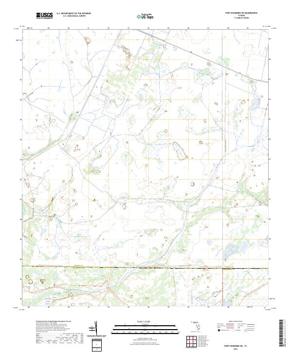
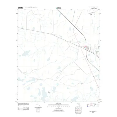
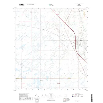
2024 Fort Kissimmee NE
Osceola County, FL
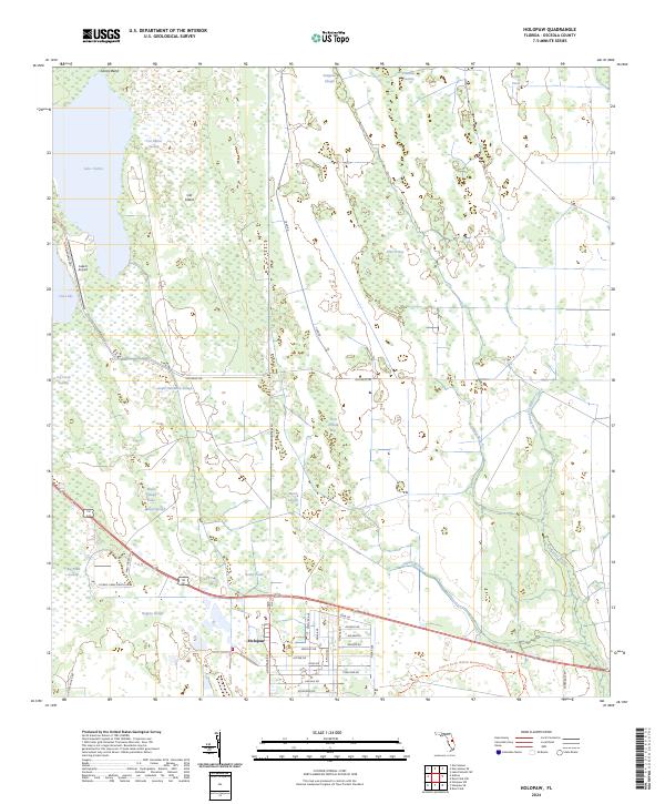
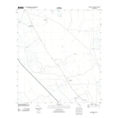
2024 Holopaw
Osceola County, FL
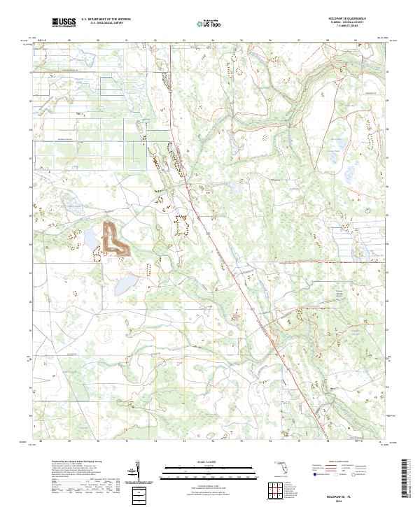
2024 Holopaw SE
Osceola County, FL
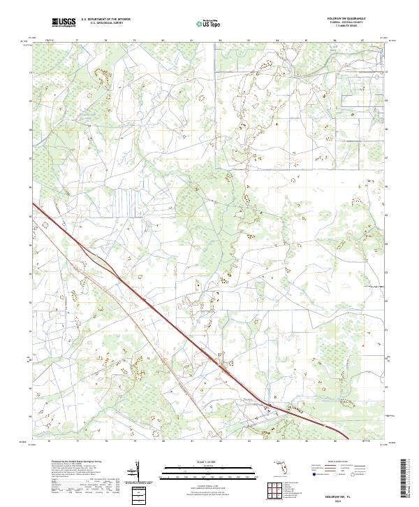
2024 Holopaw SW
Osceola County, FL
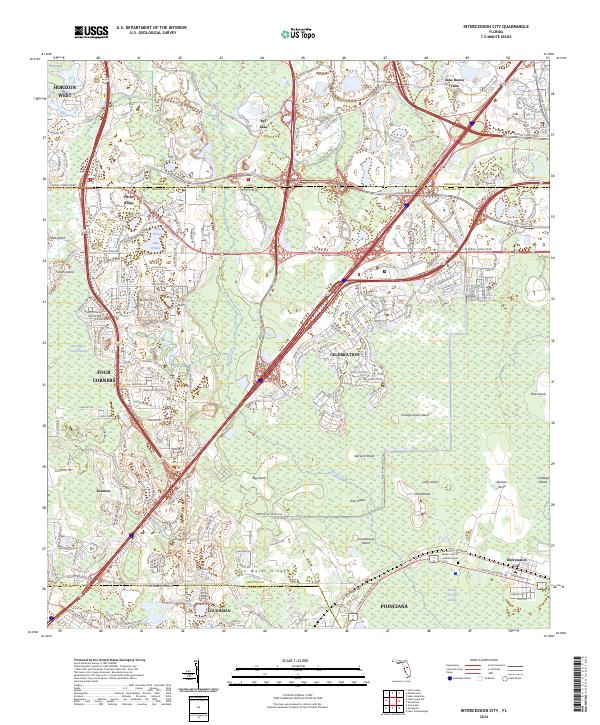
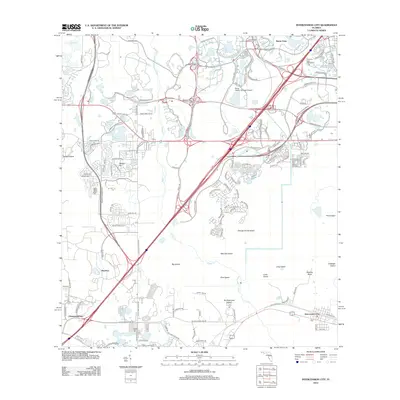
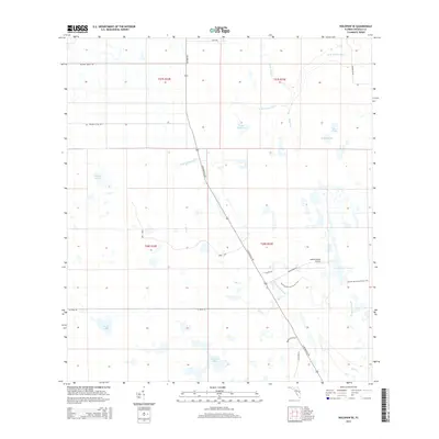
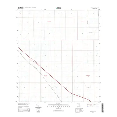
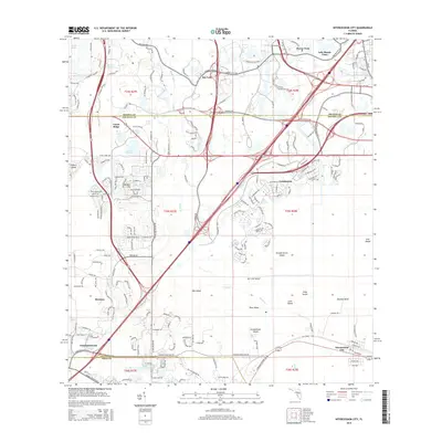
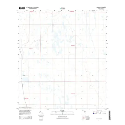
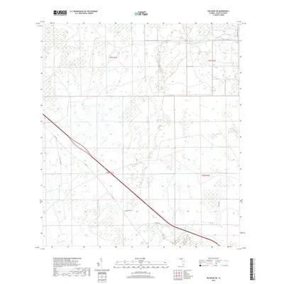
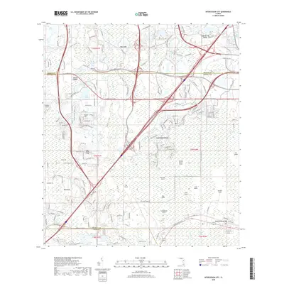
2024 Intercession City
Osceola County, FL
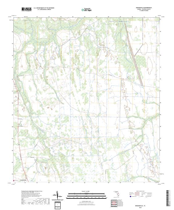
2024 Kenansville
Osceola County, FL
2024 Kenansville SW
Osceola County, FL
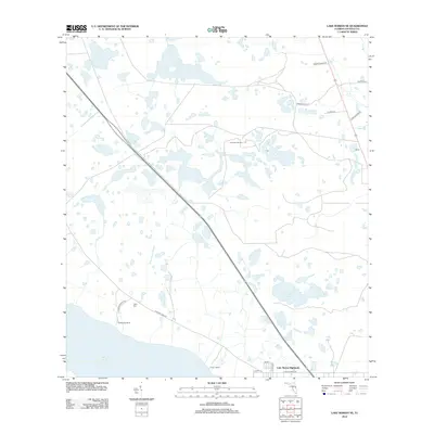
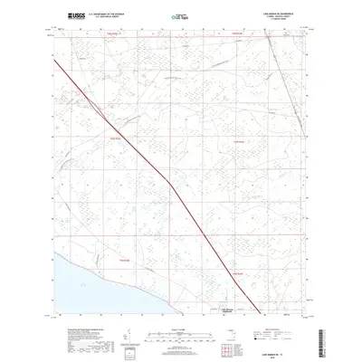
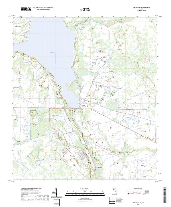
2024 Lake Marian NE
Osceola County, FL
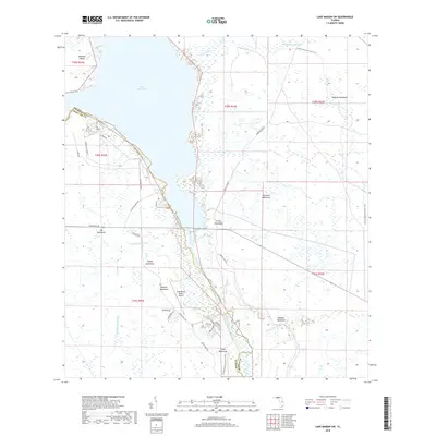
2024 Lake Marian NW
Osceola County, FL
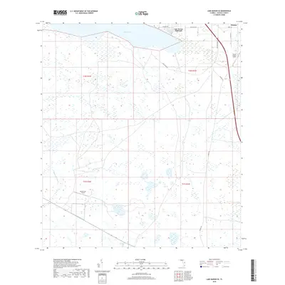
2024 Lake Marian SE
Osceola County, FL
2024 Lake Marian SW
Osceola County, FL
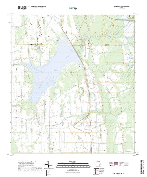
2024 Lake Poinsett SW
Osceola County, FL
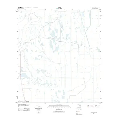
2024 Lake Tohopekaliga
Osceola County, FL
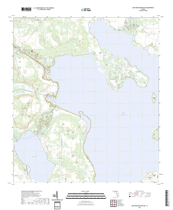
2024 Lake Weohyakapka NE
Osceola County, FL
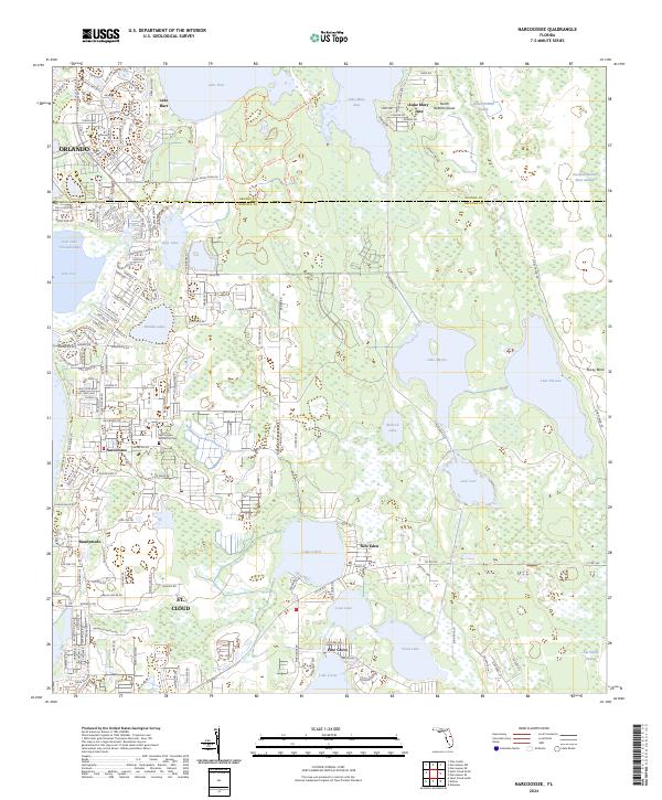
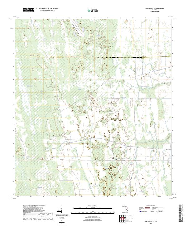
2024 Narcoossee
Osceola County, FL
2024 Narcoossee SE
Osceola County, FL
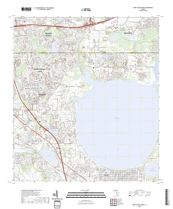
2024 Saint Cloud North
Osceola County, FL
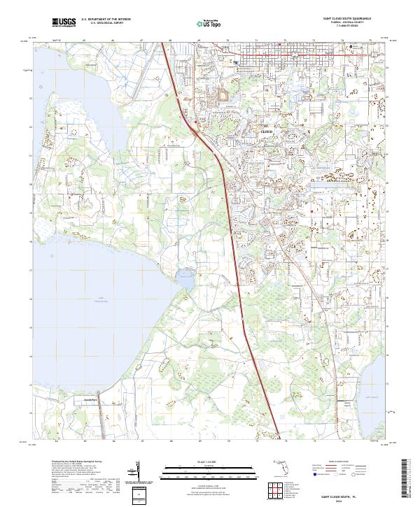
2024 Saint Cloud South
Osceola County, FL