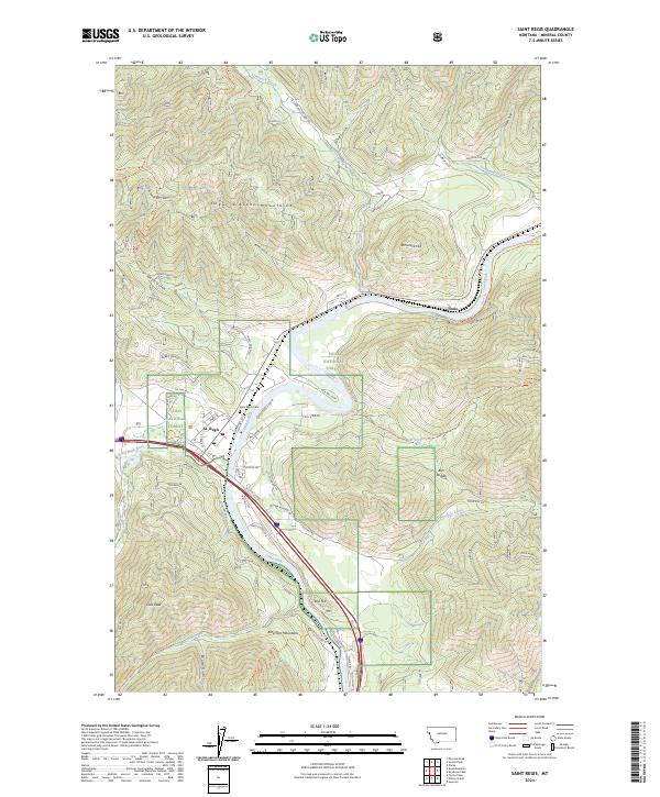
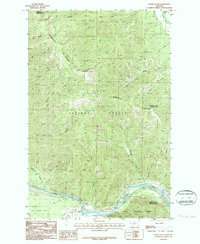
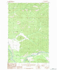
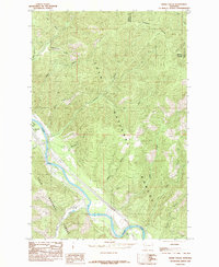
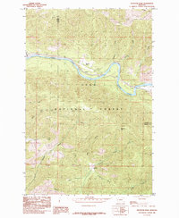
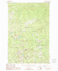
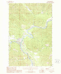
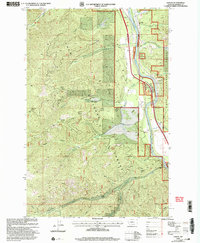
2024 Map of Saint Regis
USGS Topo · Published 2024About this map
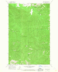
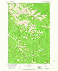
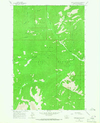
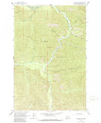
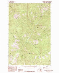
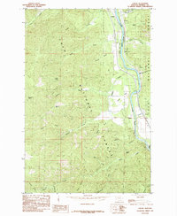
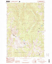
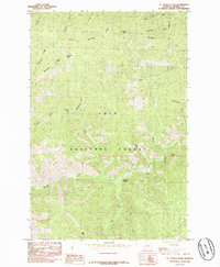
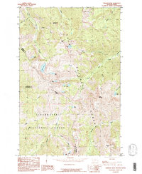
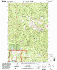
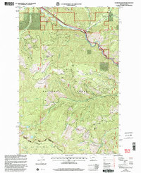
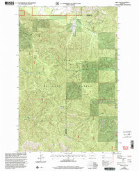
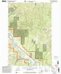
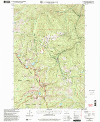
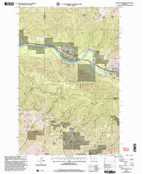
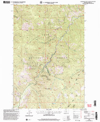
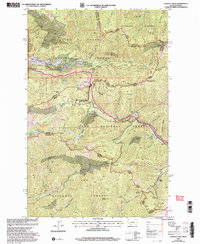
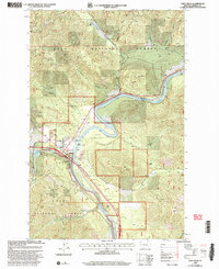
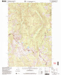
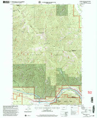
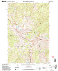
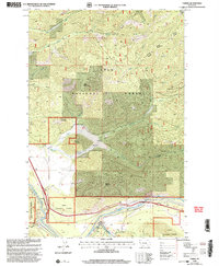
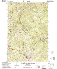
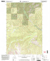
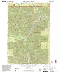
The Saint Regis River converges with the Clark Fork in this mountainous region of Mineral County, where the valley floor provides a narrow corridor for commerce and settlement. The town of St. Regis serves as the central hub, situated where the river canyons open into broader meadows. Surrounded by the Lolo National Forest, the landscape is defined by the high ridges of the Coeur d'Alene Mountains to the north and the Bitterroot Mountains to the south.
Find a feature on this map
55 named features on this map. Tap any name to fly to it.
Don’t see what you’re looking for? This feature index may not catch every label — zoom into the map to look around manually.
Map Details
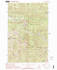
Editions of this 2024 Saint Regis Map
This is the sole edition of this map. No revisions or reprints were ever made.
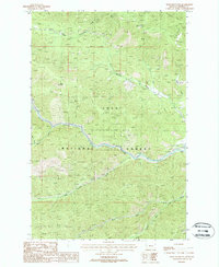
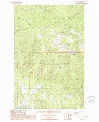
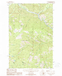
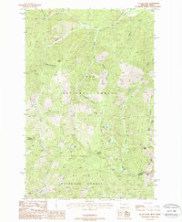
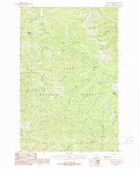
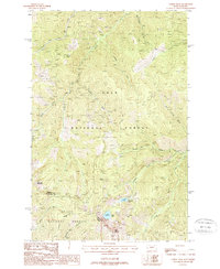
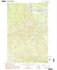
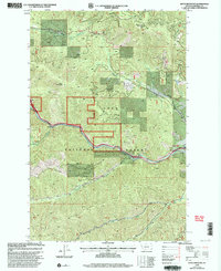
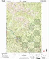
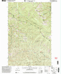
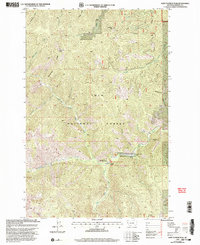
Historical Maps of Toole Through Time
74 maps found

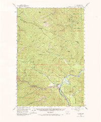
1918 St Regis
Mineral County, MT
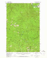
1956 St Regis
Mineral County, MT
1957 Illinois Peak
Mineral County, MT
1959 Tarkio
Mineral County, MT

1960 Straight Peak
Mineral County, MT
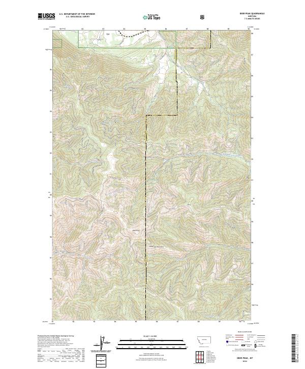
1964 Deer Peak
Mineral County, MT
1964 Lupine Creek
Mineral County, MT
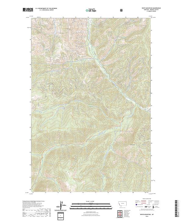
1964 White Mountain
Mineral County, MT
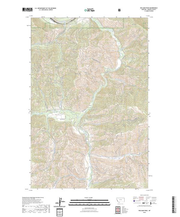
1964 Williams Peak
Mineral County, MT
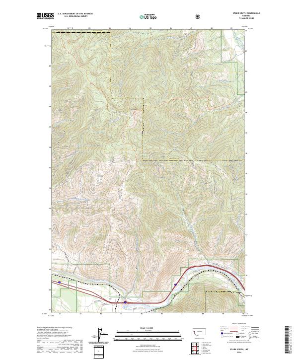
1983 Stark South
Mineral County, MT
1983 Tarkio
Mineral County, MT
1985 Idaho Gulch
Mineral County, MT
1985 Keystone Peak
Mineral County, MT
1985 Landowner Mountain
Mineral County, MT
1985 Lozeau
Mineral County, MT
1985 Schley Mountain
Mineral County, MT
1985 St Patrick Peak
Mineral County, MT
1985 Straight Peak
Mineral County, MT
1988 Boyd Mountain
Mineral County, MT
1988 De Borgia North
Mineral County, MT
1988 De Borgia South
Mineral County, MT
1988 Illinois Peak
Mineral County, MT
1988 Lookout Pass
Mineral County, MT
1988 McGee Peak
Mineral County, MT
1988 Penrose Peak
Mineral County, MT
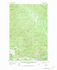
1988 St Regis
Mineral County, MT
1988 Torino Peak
Mineral County, MT
1988 Wilson Gulch
Mineral County, MT
1999 Boyd Mountain
Mineral County, MT
1999 De Borgia North
Mineral County, MT
1999 De Borgia South
Mineral County, MT
1999 Deer Peak
Mineral County, MT
1999 Idaho Gulch
Mineral County, MT
1999 Illinois Peak
Mineral County, MT
1999 Keystone Peak
Mineral County, MT
1999 Landowner Mountain
Mineral County, MT
1999 Lookout Pass
Mineral County, MT
1999 Lozeau
Mineral County, MT
1999 Lupine Creek
Mineral County, MT

1999 McGee Peak
Mineral County, MT
1999 Penrose Peak
Mineral County, MT
1999 Saint Patrick Peak
Mineral County, MT
1999 Saint Regis
Mineral County, MT
1999 Schley Mountain
Mineral County, MT
1999 Stark South
Mineral County, MT
1999 Straight Peak
Mineral County, MT
1999 Tarkio
Mineral County, MT
1999 Torino Peak
Mineral County, MT
1999 White Mountain
Mineral County, MT
1999 Williams Peak
Mineral County, MT
1999 Wilson Gulch
Mineral County, MT
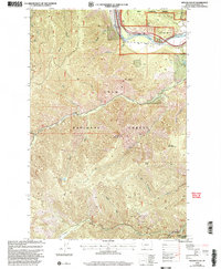
2024 Boyd Mountain
Mineral County, MT
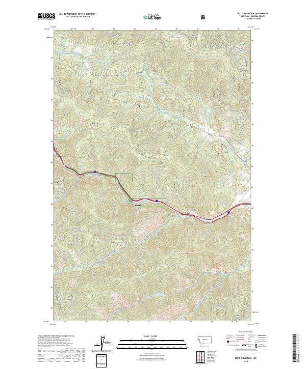
2024 De Borgia North
Mineral County, MT
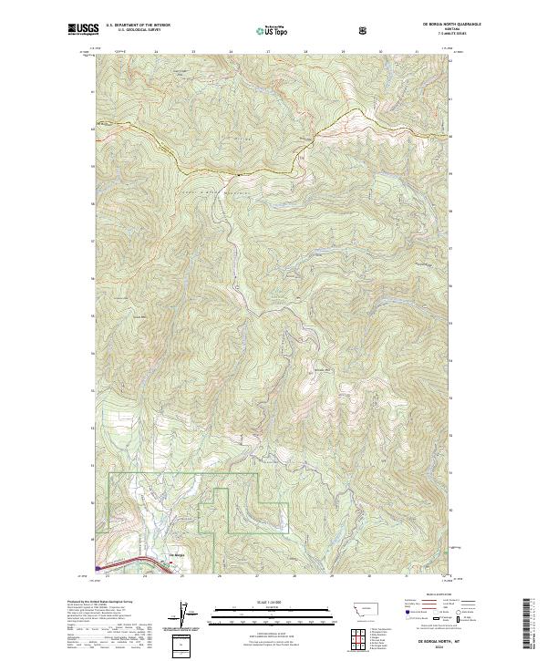
2024 De Borgia South
Mineral County, MT
2024 Deer Peak
Mineral County, MT
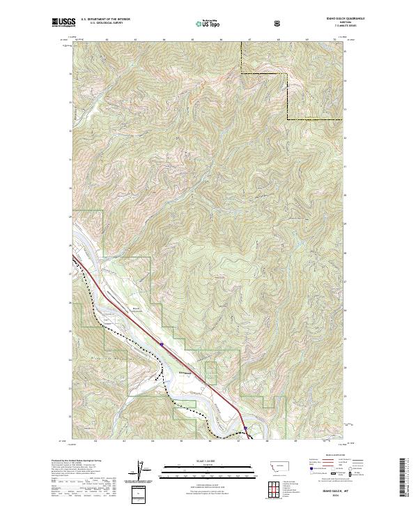
2024 Idaho Gulch
Mineral County, MT
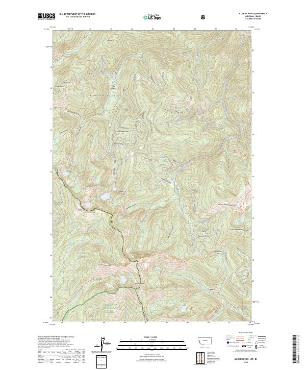
2024 Illinois Peak
Mineral County, MT
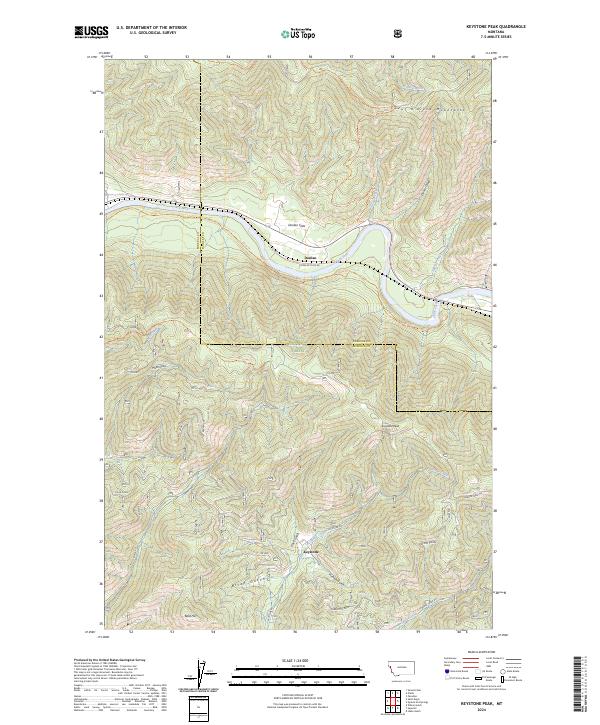
2024 Keystone Peak
Mineral County, MT
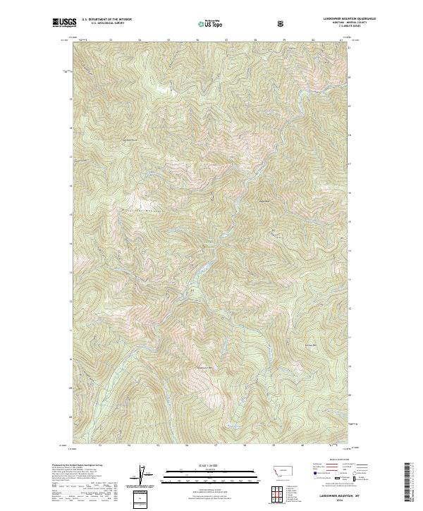
2024 Landowner Mountain
Mineral County, MT
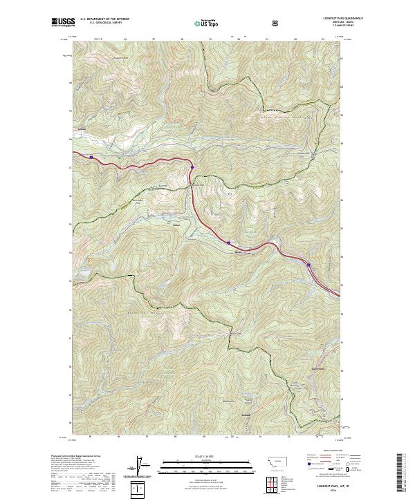
2024 Lookout Pass
Mineral County, MT
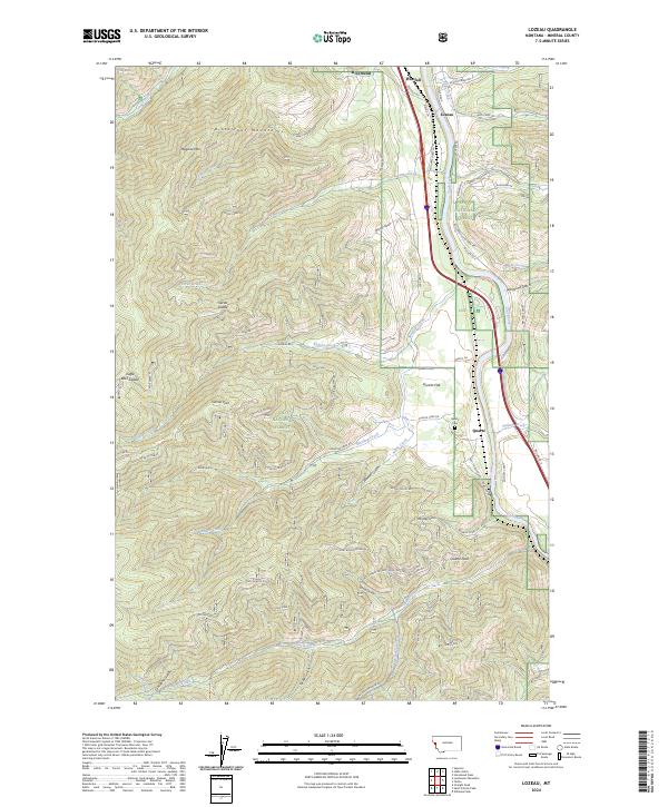
2024 Lozeau
Mineral County, MT
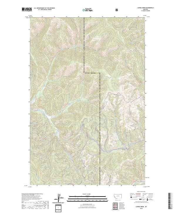
2024 Lupine Creek
Mineral County, MT
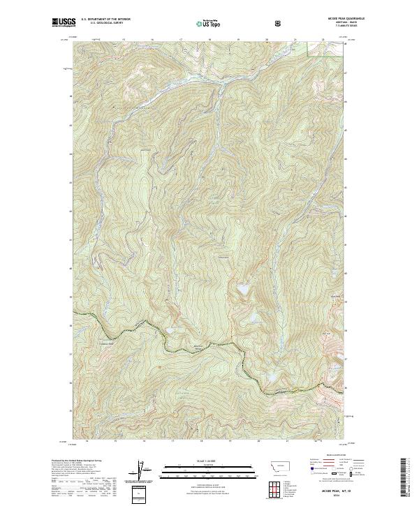
2024 McGee Peak
Mineral County, MT
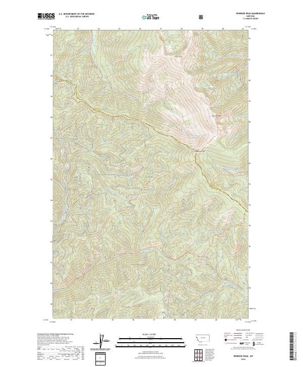
2024 Penrose Peak
Mineral County, MT
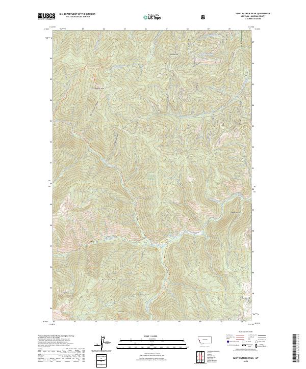
2024 Saint Patrick Peak
Mineral County, MT
2024 Saint Regis
Mineral County, MT
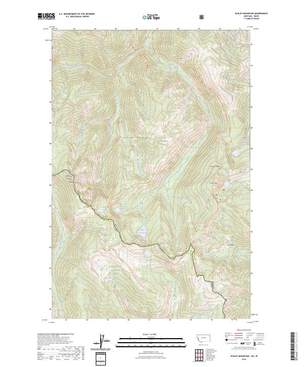
2024 Schley Mountain
Mineral County, MT
2024 Stark South
Mineral County, MT
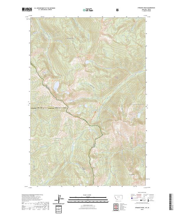
2024 Straight Peak
Mineral County, MT
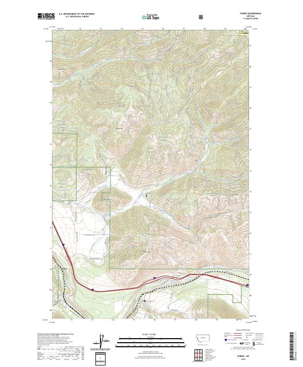
2024 Tarkio
Mineral County, MT
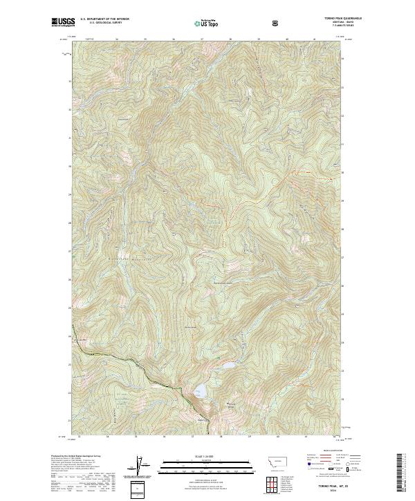
2024 Torino Peak
Mineral County, MT
2024 White Mountain
Mineral County, MT
2024 Williams Peak
Mineral County, MT
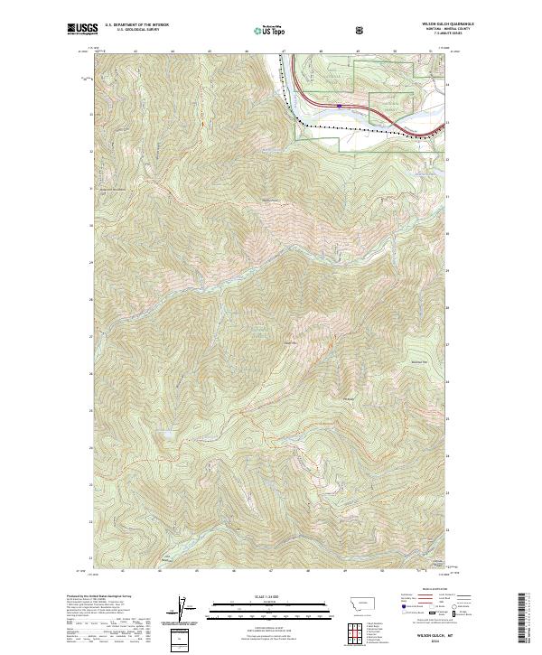
2024 Wilson Gulch
Mineral County, MT