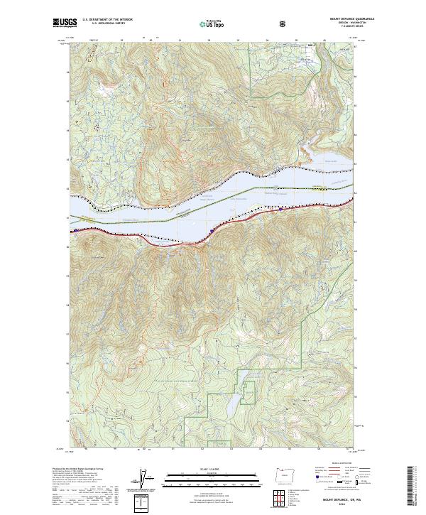
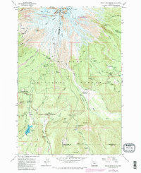
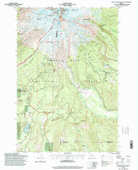
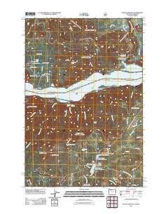
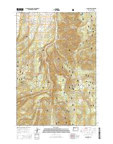
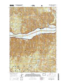
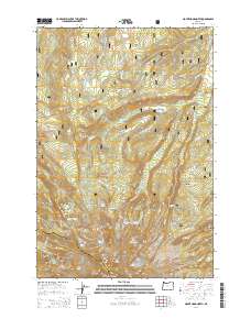
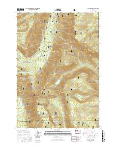
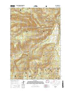
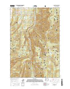
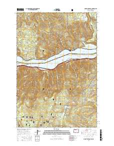
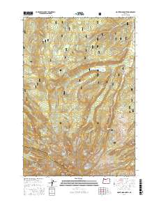
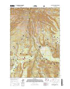
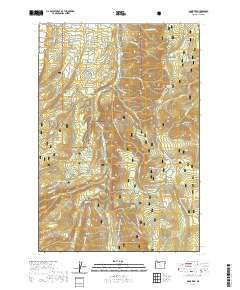
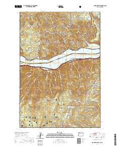
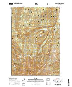
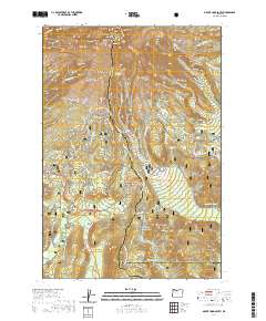
2024 Map of Mount Defiance
USGS Topo · Published 2024About this map
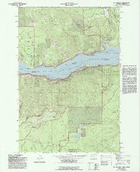
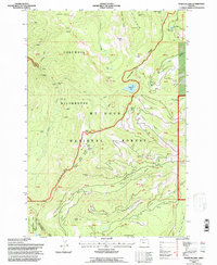
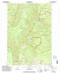
Columbia Gorge dominates this landscape where the Columbia River carves a path between the Gifford Pinchot National Forest in Washington and the Mount Hood National Forest in Oregon. The map illustrates a high-elevation environment defined by steep ridges like Viento Ridge and prominent peaks including Mt Defiance and Shellrock Mtn. Settlement is concentrated primarily along the river and northern plateaus, notably at Mill A Flat and Mill B Flat.
Find a feature on this map
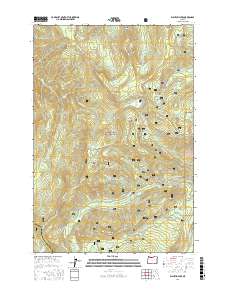
75 named features on this map. Tap any name to fly to it.
Don’t see what you’re looking for? This feature index may not catch every label — zoom into the map to look around manually.
Map Details
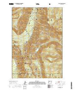
Editions of this 2024 Mount Defiance Map
This is the sole edition of this map. No revisions or reprints were ever made.
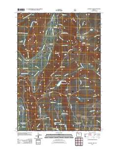
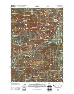
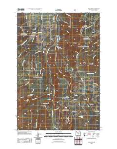
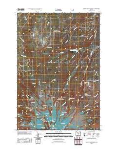
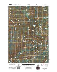
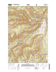
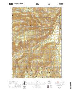
Historical Maps of Cook Through Time
51 maps found
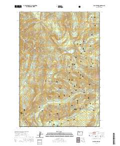
1962 Badger Lake
Hood River County, OR
1962 Dog River
Hood River County, OR
1962 Mount Hood North
Hood River County, OR
1962 Mount Hood South
Hood River County, OR
1975 Hood River NE
Hood River County, OR
1979 Badger Lake
Hood River County, OR
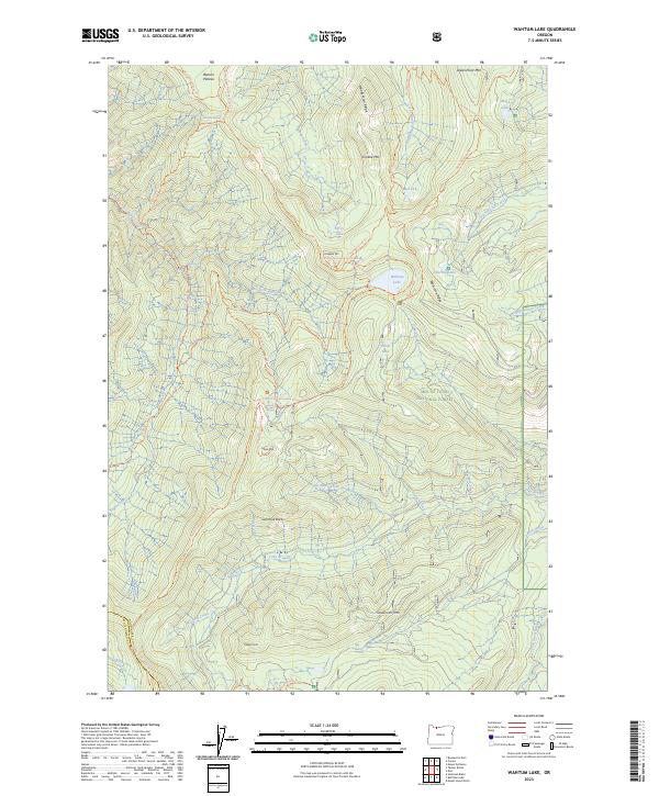
1979 Dee
Hood River County, OR
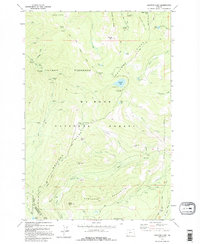
1979 Mt. Defiance
Hood River County, OR
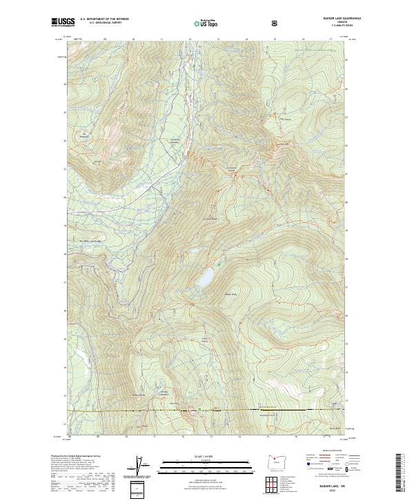
1979 Wahtum Lake
Hood River County, OR
1994 Dee
Hood River County, OR
1994 Mt. Defiance
Hood River County, OR
1994 Wahtum Lake
Hood River County, OR
1996 Badger Lake
Hood River County, OR
1996 Dog River
Hood River County, OR
1996 Mount Hood North
Hood River County, OR
1996 Mount Hood South
Hood River County, OR
2011 Badger Lake
Hood River County, OR
2011 Dee
Hood River County, OR
2011 Dog River
Hood River County, OR
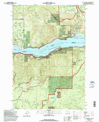
2011 Mount Defiance
Hood River County, OR
2011 Mount Hood North
Hood River County, OR

2011 Mount Hood South
Hood River County, OR
2011 Wahtum Lake
Hood River County, OR

2014 Badger Lake
Hood River County, OR
2014 Dee
Hood River County, OR
2014 Dog River
Hood River County, OR
2014 Mount Defiance
Hood River County, OR
2014 Mount Hood North
Hood River County, OR

2014 Mount Hood South
Hood River County, OR

2014 Wahtum Lake
Hood River County, OR
2017 Badger Lake
Hood River County, OR
2017 Dee
Hood River County, OR
2017 Dog River
Hood River County, OR
2017 Mount Defiance
Hood River County, OR
2017 Mount Hood North
Hood River County, OR
2017 Mount Hood South
Hood River County, OR
2017 Wahtum Lake
Hood River County, OR
2020 Badger Lake
Hood River County, OR
2020 Dee
Hood River County, OR
2020 Dog River
Hood River County, OR
2020 Mount Defiance
Hood River County, OR
2020 Mount Hood North
Hood River County, OR
2020 Mount Hood South
Hood River County, OR
2020 Wahtum Lake
Hood River County, OR
2023 Badger Lake
Hood River County, OR
2023 Wahtum Lake
Hood River County, OR
2024 Dee
Hood River County, OR
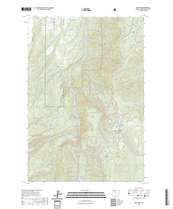
2024 Dog River
Hood River County, OR
2024 Mount Defiance
Hood River County, OR
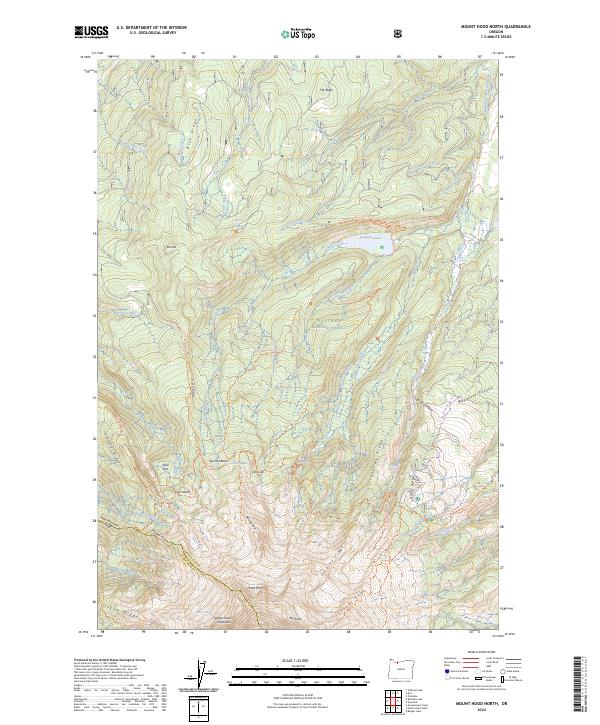
2024 Mount Hood North
Hood River County, OR
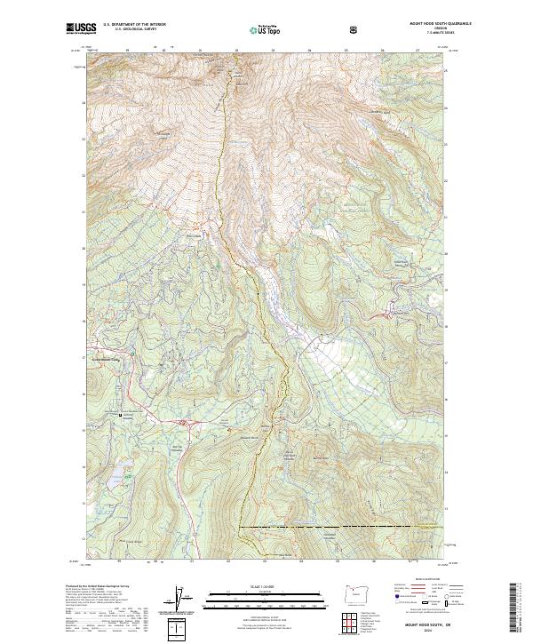
2024 Mount Hood South
Hood River County, OR