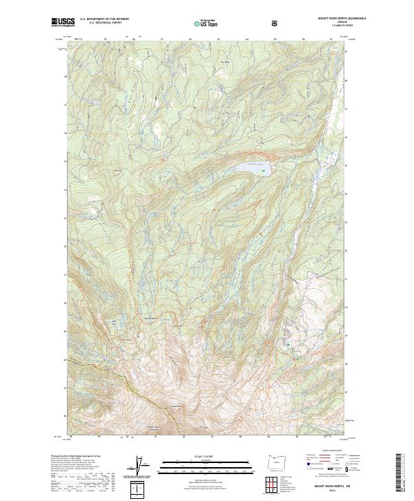
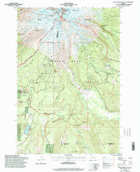
2024 Map of Mount Hood North
USGS Topo · Published 2024About this map
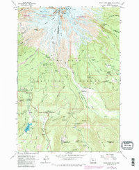
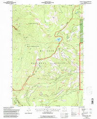
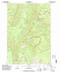
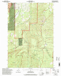
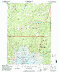
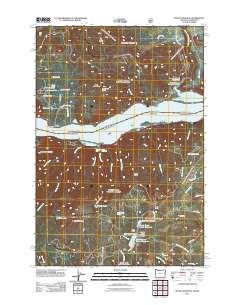
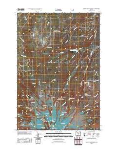
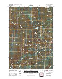
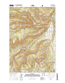
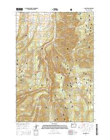
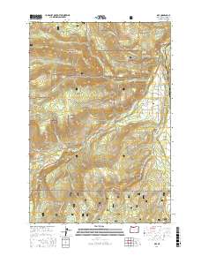
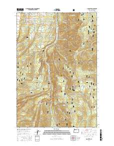
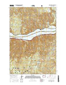
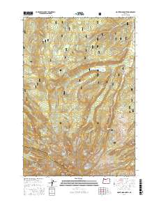
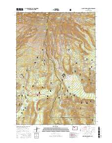
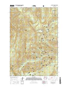
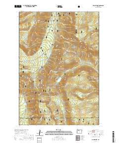
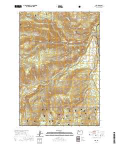
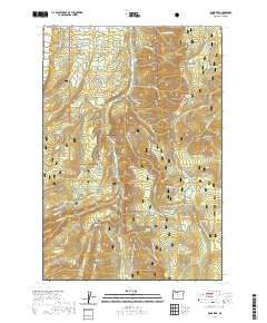
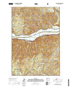
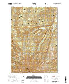
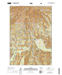
Mt Hood dominates the southern reaches of this landscape, its icy northern slopes feeding a complex network of glacial meltwater streams like the Coe Branch and Eliot Branch. This modern survey documents the high-elevation terrain of the Mount Hood Wilderness, where the Timberline Trl circumnavigates the peak, crossing distinctive landmarks such as McNeil Point and Cairn Basin. To the north, the waters of the Clear Branch collect in Laurance Lake, a primary hydrologic feature within the Mount Hood National Forest. The map detail captures the specialized recreation and preservation character of the area, including the Middle Fork Hood Wild and Scenic River corridor. From the high crags of Barrett Spur to the named drainages like Tony Creek, the sheet provides a precise record of the current trail systems and glacial margins defining the northern approach to Oregon's highest summit.
Find a feature on this map
64 named features on this map. Tap any name to fly to it.
Don’t see what you’re looking for? This feature index may not catch every label — zoom into the map to look around manually.
Map Details
Editions of this 2024 Mount Hood North Map
This is the sole edition of this map. No revisions or reprints were ever made.
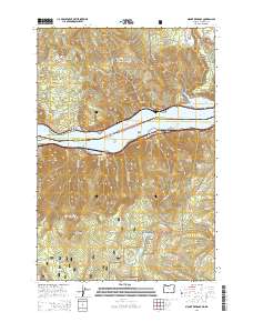
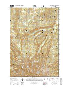
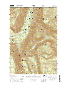
Historical Maps of Clackamas County Through Time
51 maps found
1962 Badger Lake
Hood River County, OR
1962 Dog River
Hood River County, OR
1962 Mount Hood North
Hood River County, OR
1962 Mount Hood South
Hood River County, OR
1975 Hood River NE
Hood River County, OR
1979 Badger Lake
Hood River County, OR
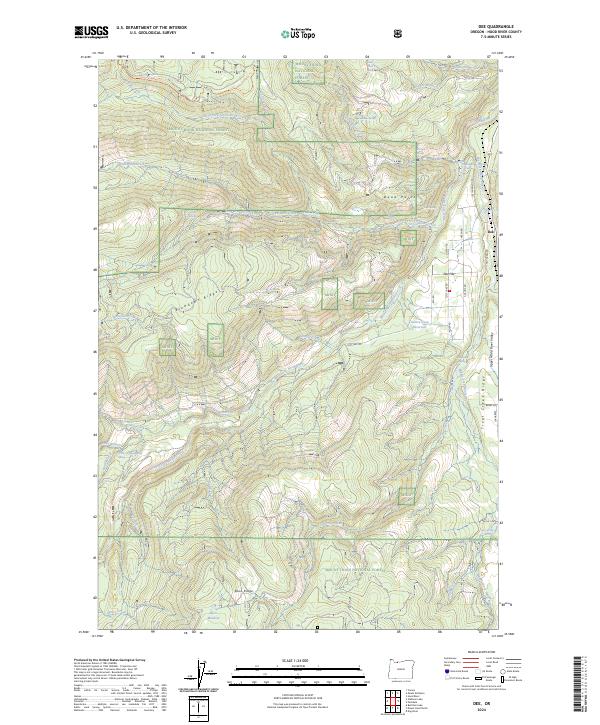
1979 Dee
Hood River County, OR
1979 Mt. Defiance
Hood River County, OR
1979 Wahtum Lake
Hood River County, OR
1994 Dee
Hood River County, OR
1994 Mt. Defiance
Hood River County, OR
1994 Wahtum Lake
Hood River County, OR
1996 Badger Lake
Hood River County, OR
1996 Dog River
Hood River County, OR
1996 Mount Hood North
Hood River County, OR
1996 Mount Hood South
Hood River County, OR
2011 Badger Lake
Hood River County, OR
2011 Dee
Hood River County, OR
2011 Dog River
Hood River County, OR
2011 Mount Defiance
Hood River County, OR
2011 Mount Hood North
Hood River County, OR

2011 Mount Hood South
Hood River County, OR
2011 Wahtum Lake
Hood River County, OR

2014 Badger Lake
Hood River County, OR
2014 Dee
Hood River County, OR
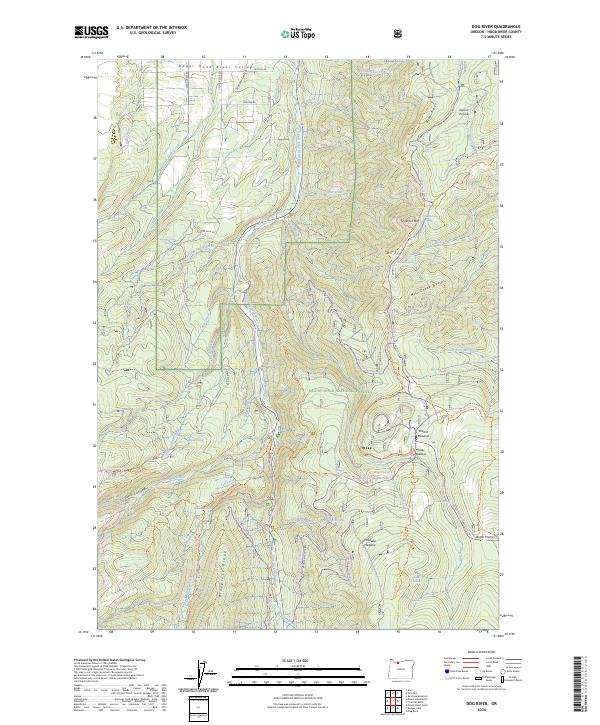
2014 Dog River
Hood River County, OR
2014 Mount Defiance
Hood River County, OR
2014 Mount Hood North
Hood River County, OR

2014 Mount Hood South
Hood River County, OR

2014 Wahtum Lake
Hood River County, OR
2017 Badger Lake
Hood River County, OR
2017 Dee
Hood River County, OR
2017 Dog River
Hood River County, OR
2017 Mount Defiance
Hood River County, OR
2017 Mount Hood North
Hood River County, OR
2017 Mount Hood South
Hood River County, OR
2017 Wahtum Lake
Hood River County, OR
2020 Badger Lake
Hood River County, OR
2020 Dee
Hood River County, OR
2020 Dog River
Hood River County, OR
2020 Mount Defiance
Hood River County, OR
2020 Mount Hood North
Hood River County, OR
2020 Mount Hood South
Hood River County, OR
2020 Wahtum Lake
Hood River County, OR
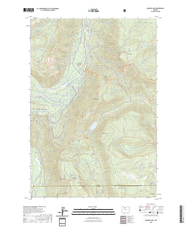
2023 Badger Lake
Hood River County, OR
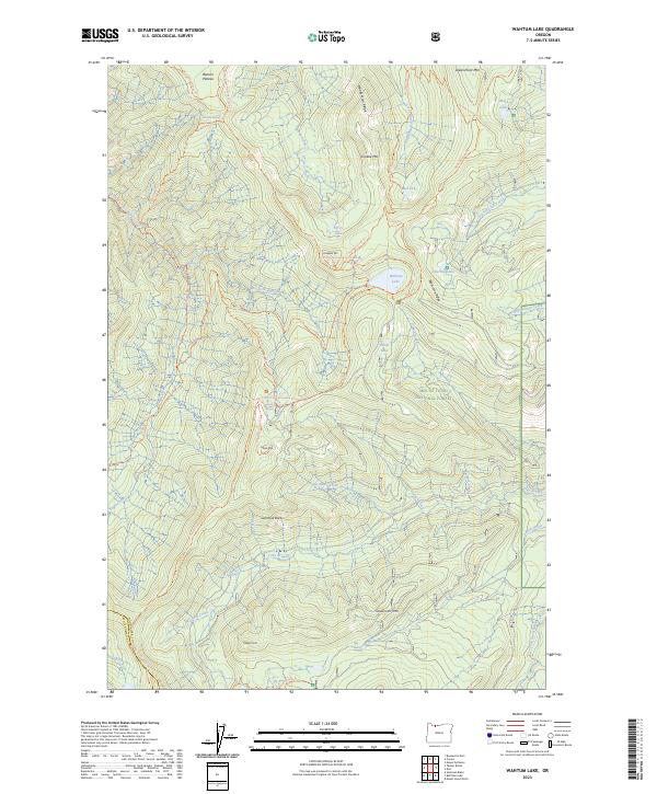
2023 Wahtum Lake
Hood River County, OR
2024 Dee
Hood River County, OR
2024 Dog River
Hood River County, OR
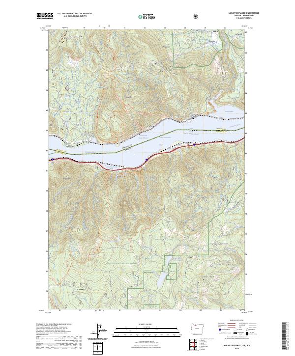
2024 Mount Defiance
Hood River County, OR
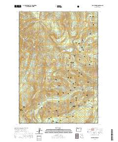
2024 Mount Hood North
Hood River County, OR
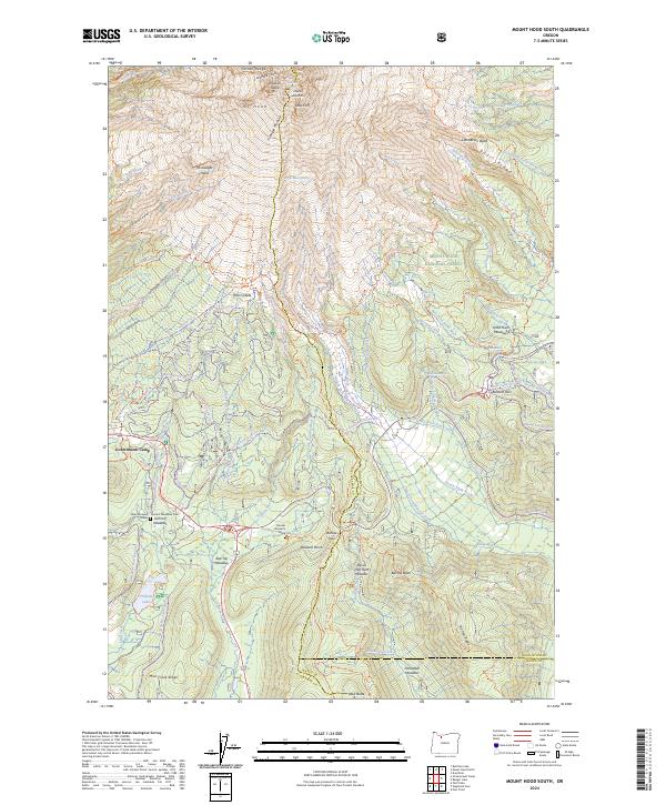
2024 Mount Hood South
Hood River County, OR