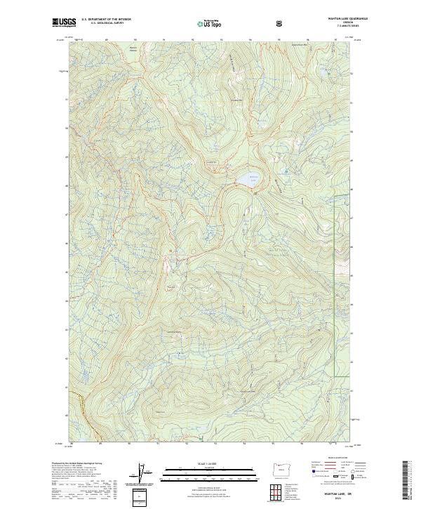
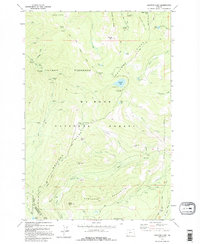
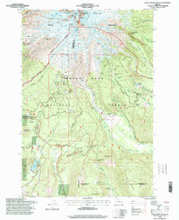
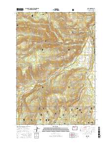
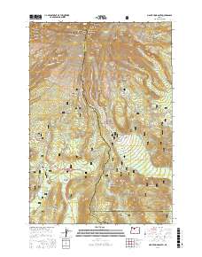
2023 Map of Wahtum Lake
USGS Topo · Published 2023About this map
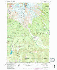
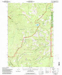
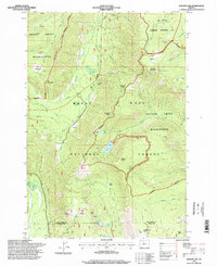
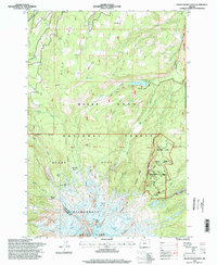
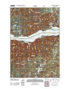
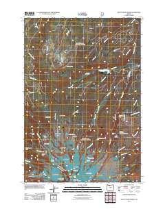
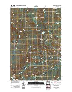
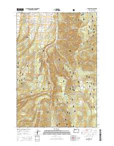
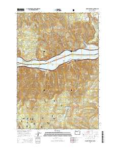
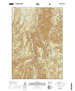
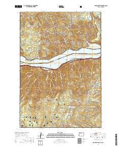
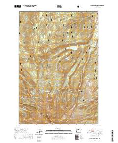
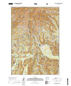
Wahtum Lake sits at the heart of this high-elevation landscape, where the Mark O Hatfield Wilderness meets the broader expanse of the Mount Hood National Forest. The terrain is defined by a series of prominent peaks and ridgelines, including Chinidere Mtn and Indian Mtn, which overlook a network of alpine basins and drainages. The map traces the critical route of the Pacific Crest National Scenic Trl as it winds across Waucoma Ridge and drops toward the lake, intersecting with local spurs like the Chinidere Cutoff Trl.
Find a feature on this map
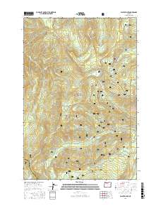
54 named features on this map. Tap any name to fly to it.
Don’t see what you’re looking for? This feature index may not catch every label — zoom into the map to look around manually.
Map Details
Editions of this 2023 Wahtum Lake Map
This is the sole edition of this map. No revisions or reprints were ever made.
Historical Maps of Multnomah County Through Time
51 maps found
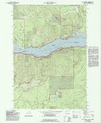
1962 Badger Lake
Hood River County, OR
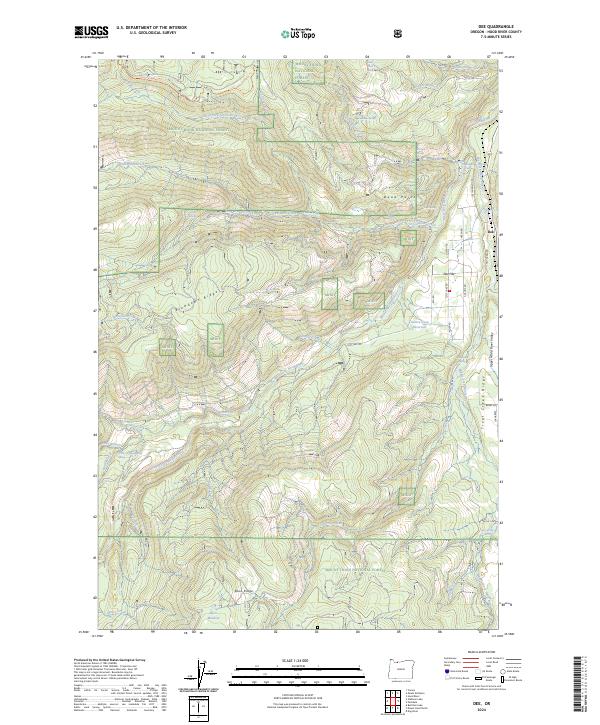
1962 Dog River
Hood River County, OR
1962 Mount Hood North
Hood River County, OR
1962 Mount Hood South
Hood River County, OR
1975 Hood River NE
Hood River County, OR
1979 Badger Lake
Hood River County, OR
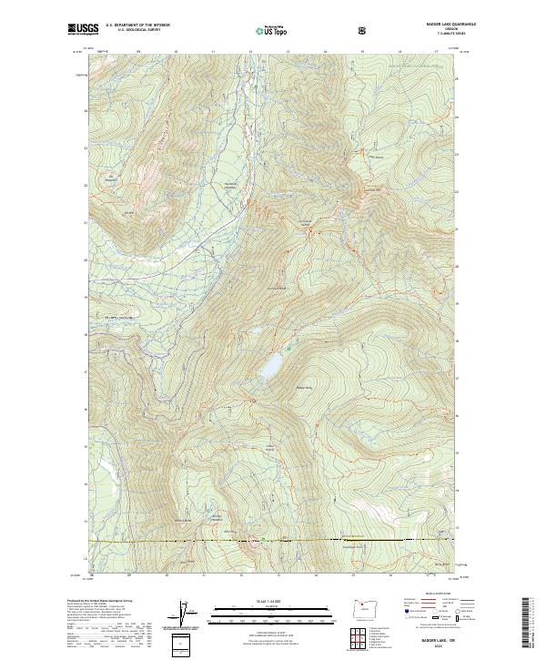
1979 Dee
Hood River County, OR
1979 Mt. Defiance
Hood River County, OR
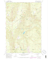
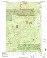
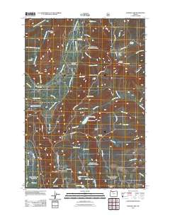
1979 Wahtum Lake
Hood River County, OR
1994 Dee
Hood River County, OR
1994 Mt. Defiance
Hood River County, OR
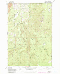
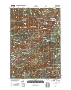
1994 Wahtum Lake
Hood River County, OR
1996 Badger Lake
Hood River County, OR
1996 Dog River
Hood River County, OR
1996 Mount Hood North
Hood River County, OR
1996 Mount Hood South
Hood River County, OR
2011 Badger Lake
Hood River County, OR
2011 Dee
Hood River County, OR
2011 Dog River
Hood River County, OR
2011 Mount Defiance
Hood River County, OR
2011 Mount Hood North
Hood River County, OR

2011 Mount Hood South
Hood River County, OR
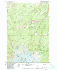
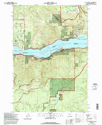
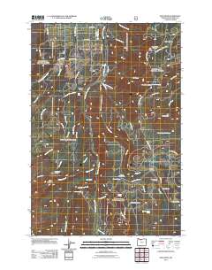
2011 Wahtum Lake
Hood River County, OR

2014 Badger Lake
Hood River County, OR
2014 Dee
Hood River County, OR
2014 Dog River
Hood River County, OR
2014 Mount Defiance
Hood River County, OR
2014 Mount Hood North
Hood River County, OR

2014 Mount Hood South
Hood River County, OR

2014 Wahtum Lake
Hood River County, OR
2017 Badger Lake
Hood River County, OR
2017 Dee
Hood River County, OR
2017 Dog River
Hood River County, OR
2017 Mount Defiance
Hood River County, OR
2017 Mount Hood North
Hood River County, OR
2017 Mount Hood South
Hood River County, OR
2017 Wahtum Lake
Hood River County, OR
2020 Badger Lake
Hood River County, OR
2020 Dee
Hood River County, OR
2020 Dog River
Hood River County, OR
2020 Mount Defiance
Hood River County, OR
2020 Mount Hood North
Hood River County, OR
2020 Mount Hood South
Hood River County, OR
2020 Wahtum Lake
Hood River County, OR
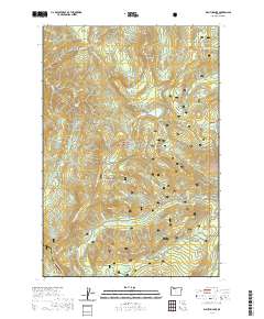
2023 Badger Lake
Hood River County, OR
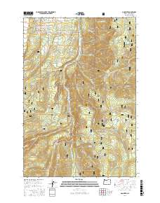
2023 Wahtum Lake
Hood River County, OR
2024 Dee
Hood River County, OR
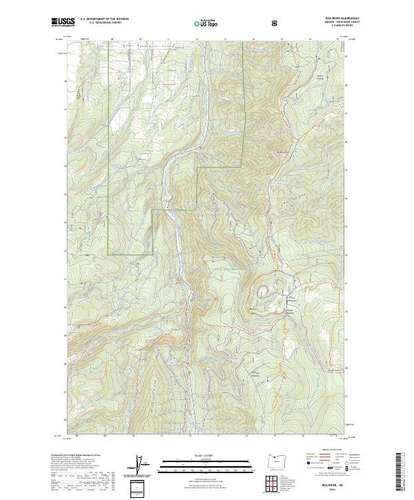
2024 Dog River
Hood River County, OR
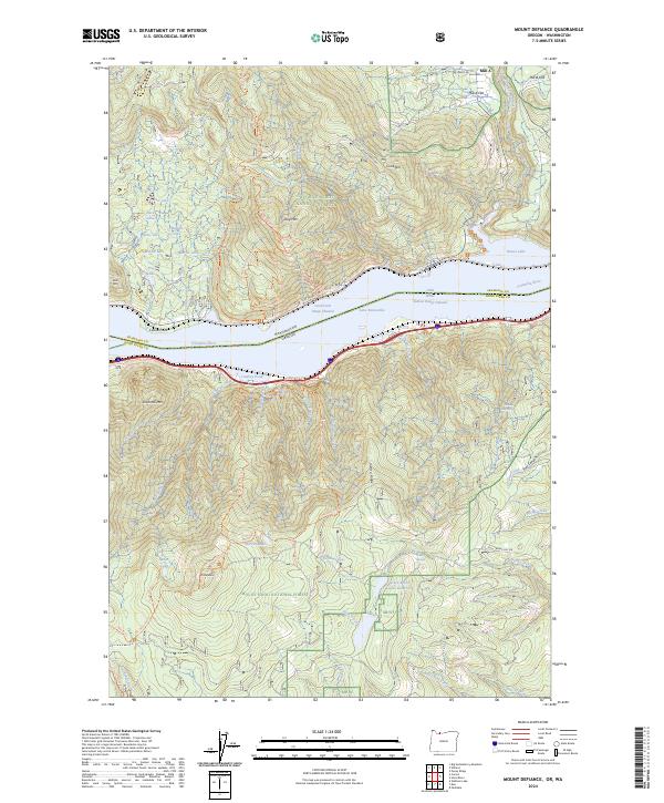
2024 Mount Defiance
Hood River County, OR
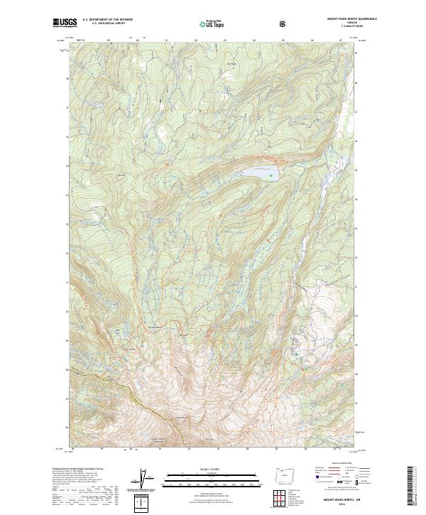
2024 Mount Hood North
Hood River County, OR
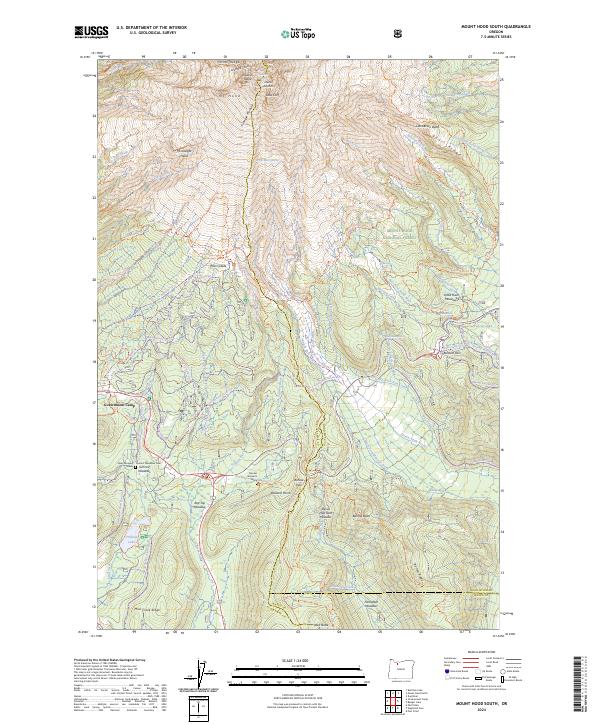
2024 Mount Hood South
Hood River County, OR