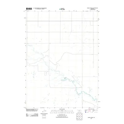
2021 Map of Park Church
USGS Topo · Published 2021About this map
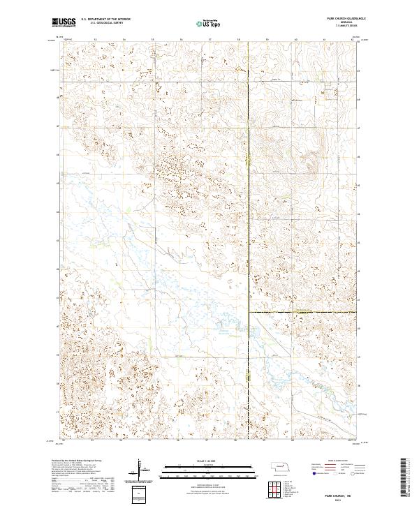
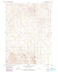
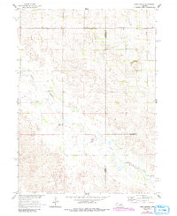
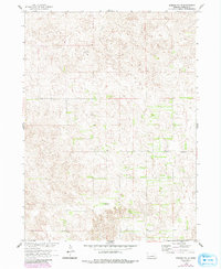
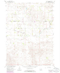
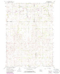
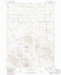
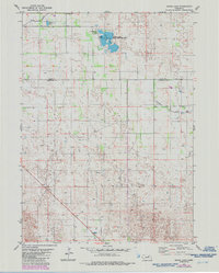
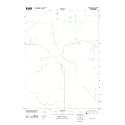
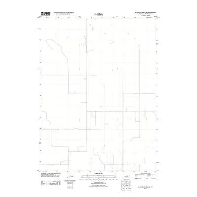
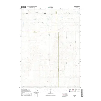
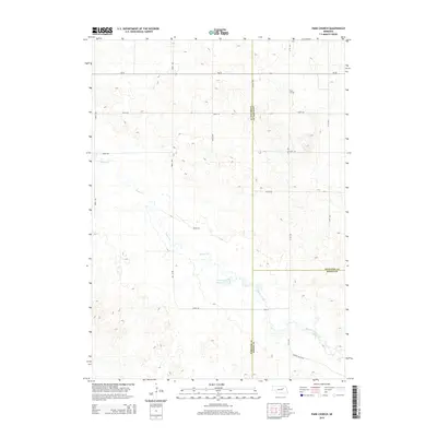
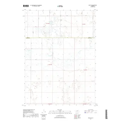
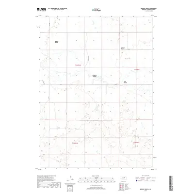
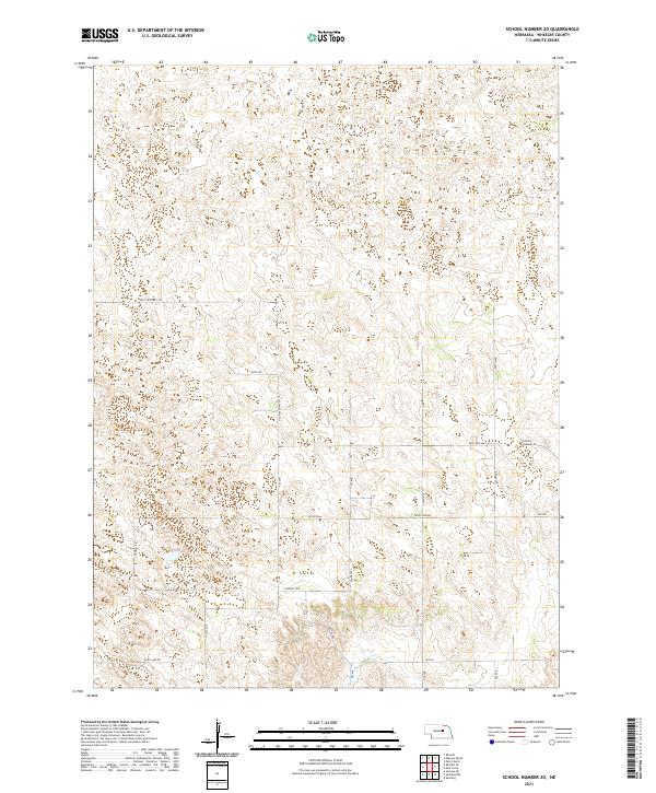
Park Church stands as a focal point in this rural landscape at the intersection of Wheeler, Antelope, and Boone Counties. The terrain is defined by the winding course of Beaver Creek (also labeled Beaver Cr in its upper reaches), which feeds into the Jennings Reservoir in the southern portion of the quadrangle. This 2021 survey illustrates a highly organized section-line road network, including Beaver Valley Rd and Valley Rd, which facilitate movement through the agricultural heartland. The convergence of multiple township boundaries, such as t23n r9w and t23n r8w, underscores the precise cadastral division of the Nebraska plains, where remote ranching and farming operations rely on these established corridors and water sources.
Find a feature on this map
23 named features on this map. Tap any name to fly to it.
Don’t see what you’re looking for? This feature index may not catch every label — zoom into the map to look around manually.
Map Details
Editions of this 2021 Park Church Map
This is the sole edition of this map. No revisions or reprints were ever made.
Historical Maps of Wheeler County Through Time
50 maps found
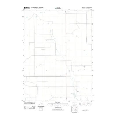
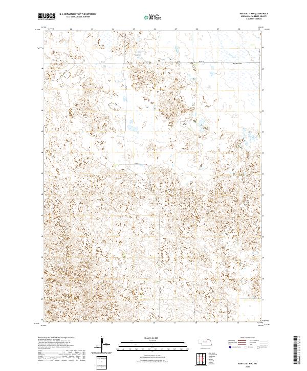
1954 Bartlett NW
Wheeler County, NE
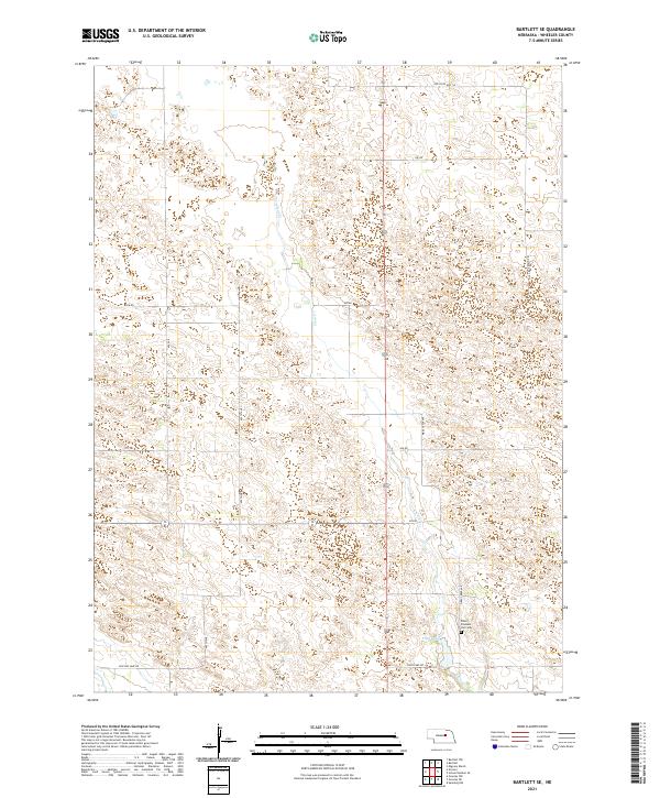
1954 Bartlett SE
Wheeler County, NE
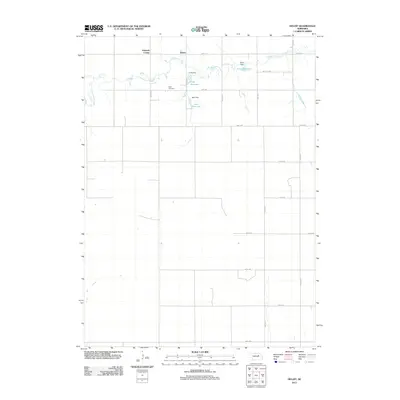
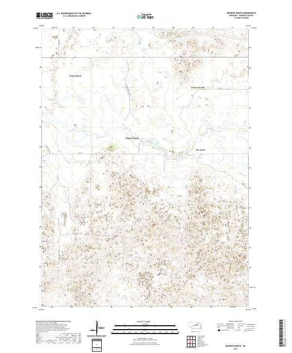
1960 Mignery Ranch
Wheeler County, NE
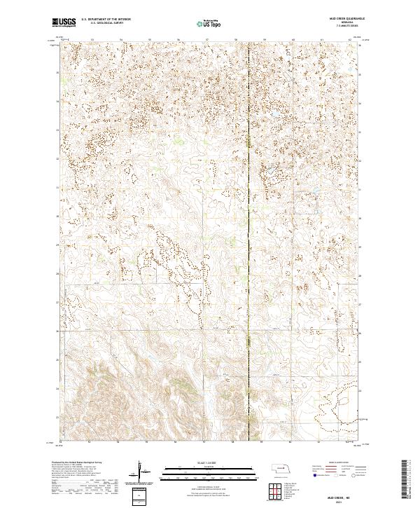
1960 Mud Creek
Wheeler County, NE
1960 Park Church
Wheeler County, NE
1960 School No. 20
Wheeler County, NE
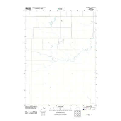
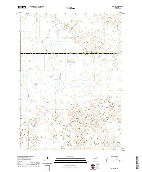
1963 Deloit SW
Wheeler County, NE
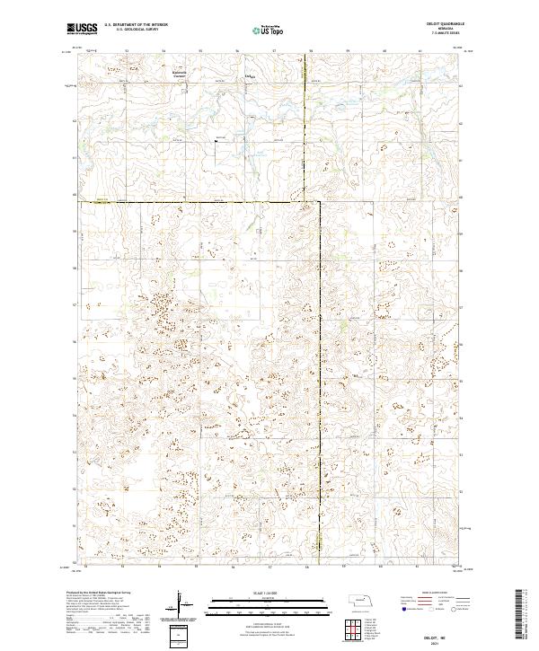
1963 Deloit
Wheeler County, NE
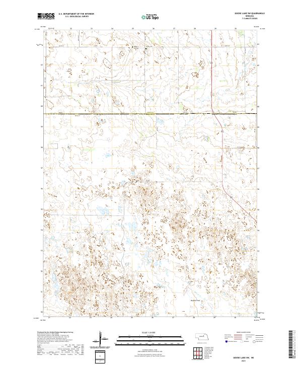
1981 Goose Lake SW
Wheeler County, NE
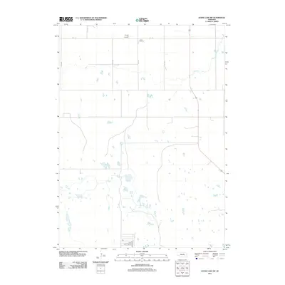
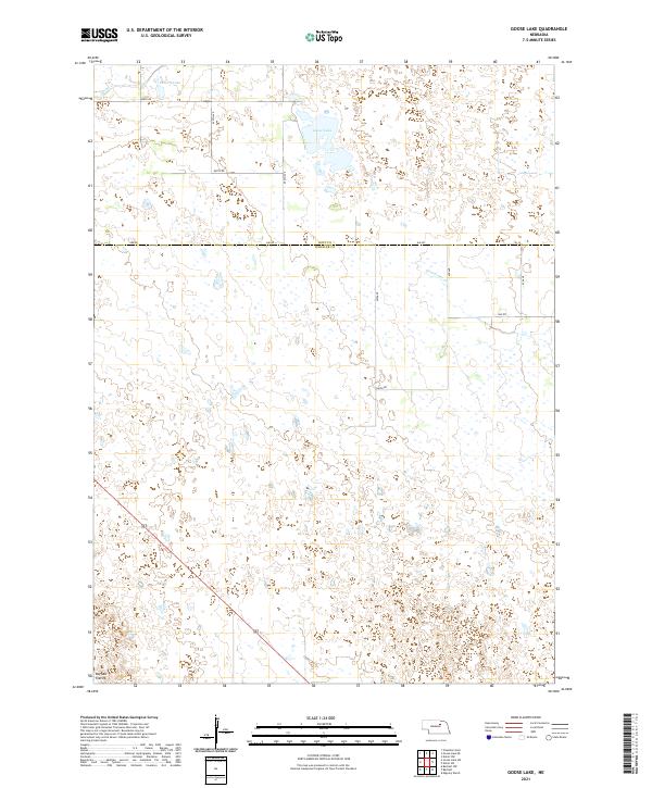
1981 Goose Lake
Wheeler County, NE
2011 Bartlett NW
Wheeler County, NE
2011 Bartlett SE
Wheeler County, NE
2011 Deloit SW
Wheeler County, NE
2011 Deloit
Wheeler County, NE
2011 Goose Lake SW
Wheeler County, NE
2011 Goose Lake
Wheeler County, NE
2011 Mignery Ranch
Wheeler County, NE
2011 Mud Creek
Wheeler County, NE
2011 Park Church
Wheeler County, NE
2011 School Number 20
Wheeler County, NE
2014 Bartlett NW
Wheeler County, NE
2014 Bartlett SE
Wheeler County, NE
2014 Deloit SW
Wheeler County, NE
2014 Deloit
Wheeler County, NE
2014 Goose Lake SW
Wheeler County, NE
2014 Goose Lake
Wheeler County, NE

2014 Mignery Ranch
Wheeler County, NE
2014 Mud Creek
Wheeler County, NE
2014 Park Church
Wheeler County, NE
2014 School Number 20
Wheeler County, NE
2017 Bartlett NW
Wheeler County, NE
2017 Bartlett SE
Wheeler County, NE
2017 Deloit SW
Wheeler County, NE
2017 Deloit
Wheeler County, NE
2017 Goose Lake SW
Wheeler County, NE
2017 Goose Lake
Wheeler County, NE
2017 Mignery Ranch
Wheeler County, NE
2017 Mud Creek
Wheeler County, NE
2017 Park Church
Wheeler County, NE
2017 School Number 20
Wheeler County, NE
2021 Bartlett NW
Wheeler County, NE
2021 Bartlett SE
Wheeler County, NE
2021 Deloit SW
Wheeler County, NE
2021 Deloit
Wheeler County, NE
2021 Goose Lake SW
Wheeler County, NE
2021 Goose Lake
Wheeler County, NE
2021 Mignery Ranch
Wheeler County, NE
2021 Mud Creek
Wheeler County, NE
2021 Park Church
Wheeler County, NE
2021 School Number 20
Wheeler County, NE