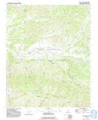
1991 Map of Reyes Peak
USGS Topo · Published 1991About this map
Pine Mountain and the prominent Reyes Peak dominate this portion of the Los Padres National Forest in the early 1990s. The landscape is defined by its network of water sources and seasonal drainages, where the Cuyama River and Reyes Creek provide the focus for several backcountry sites. This era shows a well-established recreational infrastructure, including the Ozena Campground and the remote Beartrap No 1 Campsite.
Find a feature on this map
40 named features on this map. Tap any name to fly to it.
Don’t see what you’re looking for? This feature index may not catch every label — zoom into the map to look around manually.
Map Details
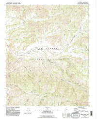
Editions of this 1991 Reyes Peak Map
2 editions found
Other maps of this area

1903 · Mt. Pinos
USGS Topo · 1:125,000

1942 · Wheeler Springs
USGS Topo · 1:24,000

1943 · Rancho Nuevo Creek
USGS Topo · 1:24,000

1943 · Old Man Mountain
USGS Topo · 1:24,000

1943 · Apache Canyon
USGS Topo · 1:24,000

1943 · San Guillermo
USGS Topo · 1:24,000

1943 · Sawmill Mountain
USGS Topo · 1:24,000

1943 · Cuyama Peak
USGS Topo · 1:24,000

1943 · Lion Canyon
USGS Topo · 1:24,000

1943 · Reyes Peak
USGS Topo · 1:24,000