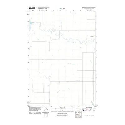
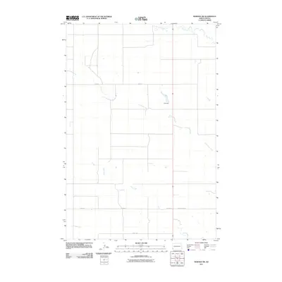
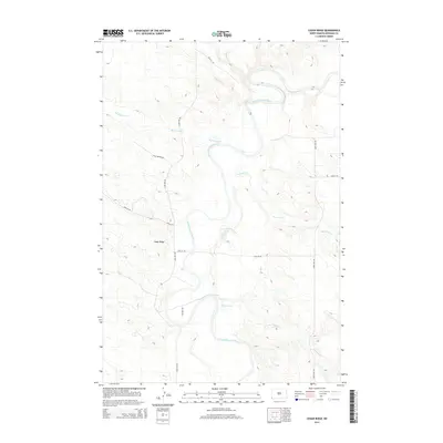
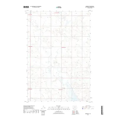
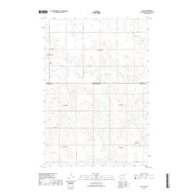
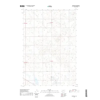
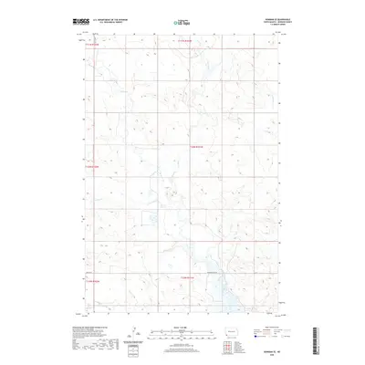
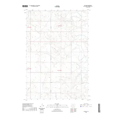
2024 Map of Rhame SE
USGS Topo · Published 2024About this map
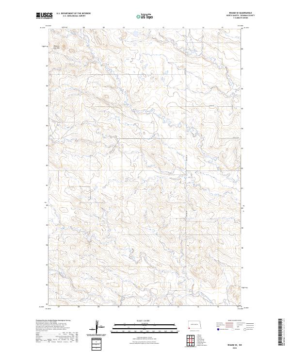
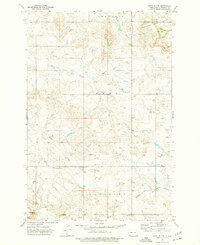
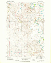
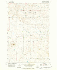
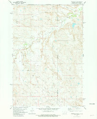
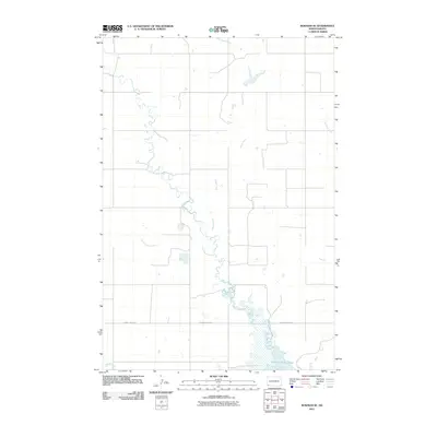
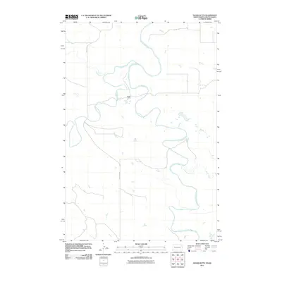
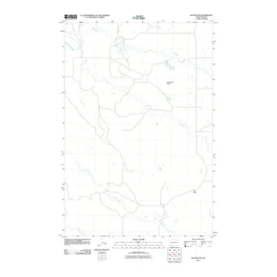
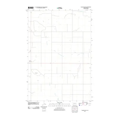
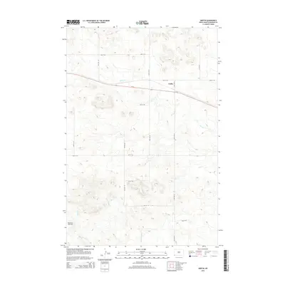
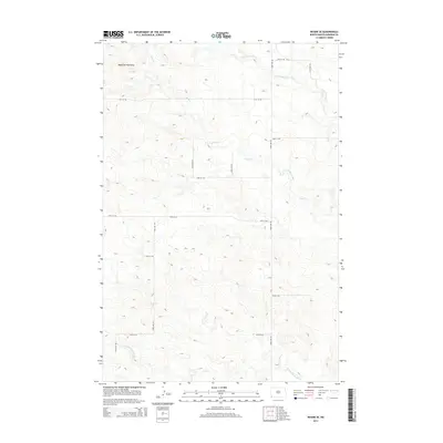
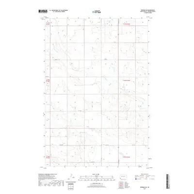
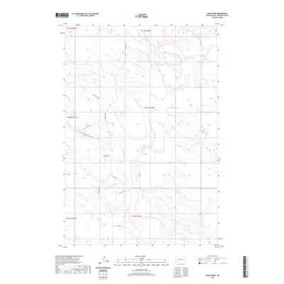
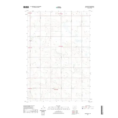
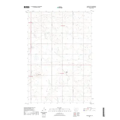
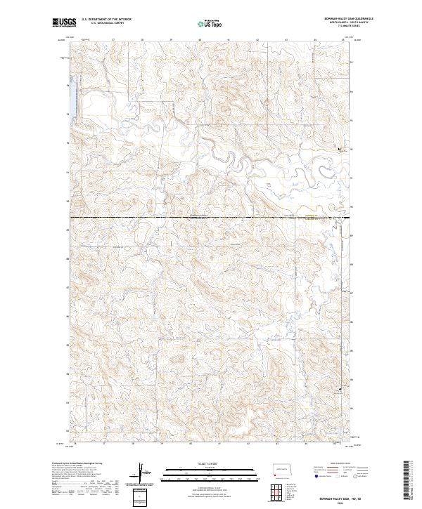
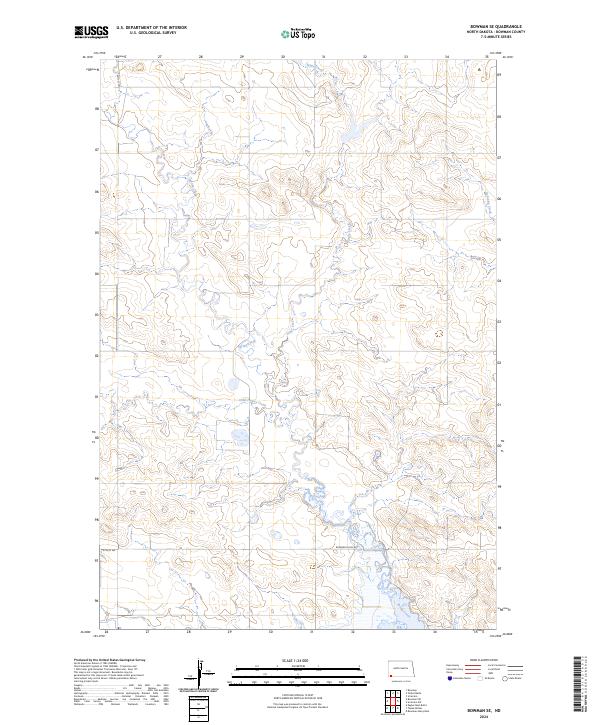
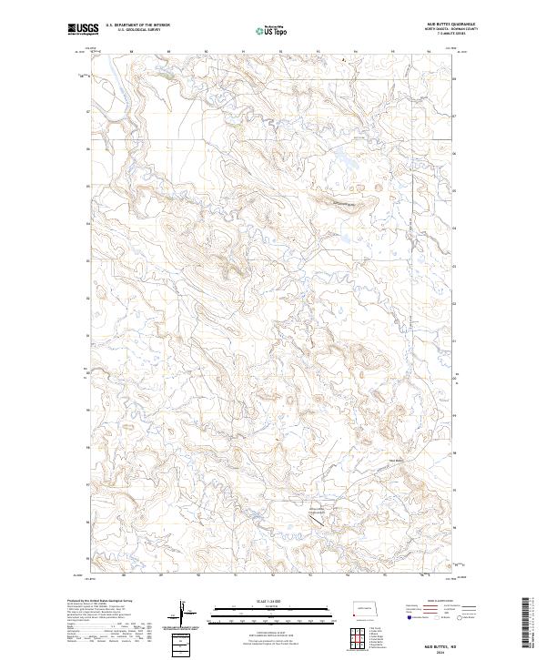
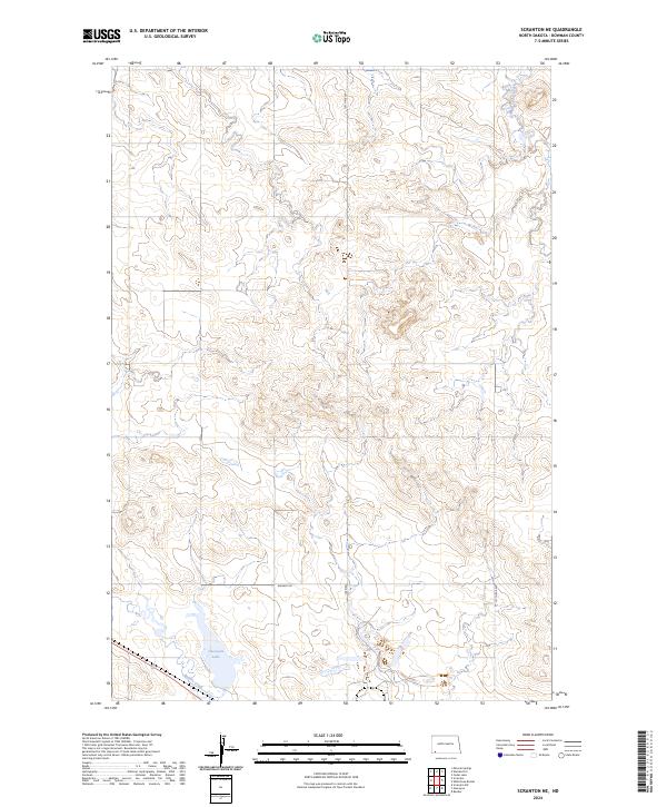
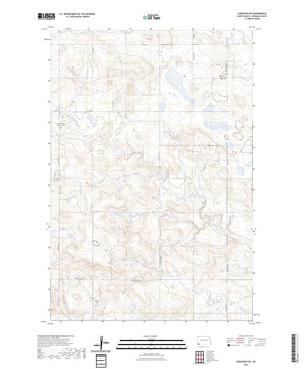
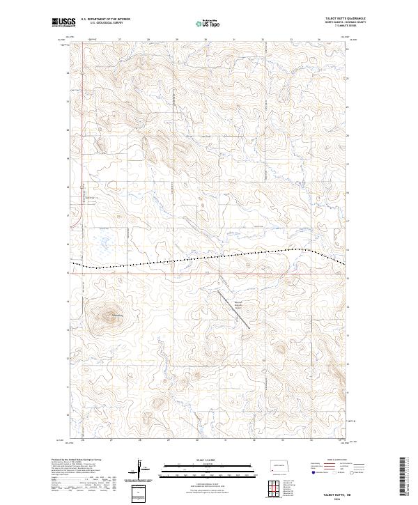
Medicine Pole Hills rise as a prominent topographic landmark in this southwestern corner of North Dakota, overlooking a landscape defined by the drainage patterns of the North Fork Grand River. The terrain is deeply etched by watercourses such as Alkali Creek and Cold Turkey Creek, which have carved intricate contour patterns across the Bowman County prairie. The map reflects a structured grid of rural infrastructure, where routes like Griffin Rd, Amor Rd, and 93rd St SW follow the section lines established by the Public Land Survey System. These roads provide the primary access to the scattered farmsteads and ranchlands that characterize the region's agricultural economy. The precision of the 2024 data highlights the subtle changes in elevation and the persistent importance of natural water sources in this high plains environment.
Find a feature on this map
13 named features on this map. Tap any name to fly to it.
Don’t see what you’re looking for? This feature index may not catch every label — zoom into the map to look around manually.
Map Details
Editions of this 2024 Rhame SE Map
This is the sole edition of this map. No revisions or reprints were ever made.
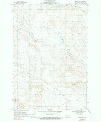
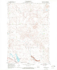
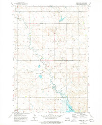
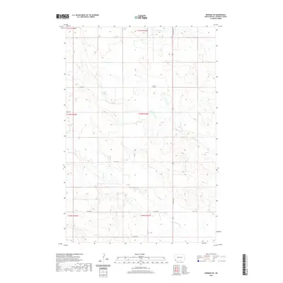
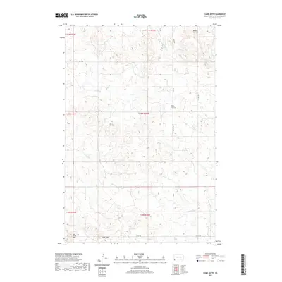
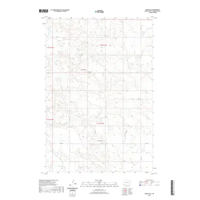
Historical Maps of Bowman County Through Time
88 maps found
1968 Bowman SW
Bowman County, ND
1969 Scranton NE
Bowman County, ND
1973 Bowman SE
Bowman County, ND
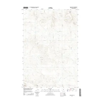
1973 Camel Butte
Bowman County, ND
1973 Cedar Hills
Bowman County, ND
1973 Cedar Ridge
Bowman County, ND
1973 Griffin
Bowman County, ND
1973 Kid Creek
Bowman County, ND
1973 Mud Buttes
Bowman County, ND
1973 Rhame SE
Bowman County, ND
1973 Scranton SW
Bowman County, ND
1973 Talbot Butte
Bowman County, ND
1981 Webster NE
Bowman County, ND
2011 Bowman-Haley Dam
Bowman County, ND
2011 Bowman SE
Bowman County, ND
2011 Bowman SW
Bowman County, ND
2011 Camel Butte
Bowman County, ND
2011 Cedar Hills
Bowman County, ND
2011 Cedar Ridge
Bowman County, ND
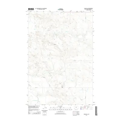
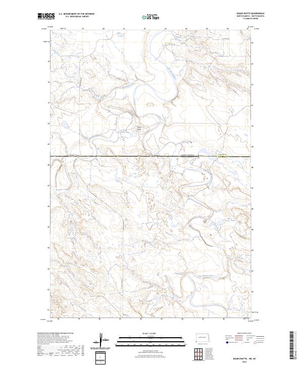
2011 Doaks Butte
Bowman County, ND
2011 Griffin
Bowman County, ND
2011 Haley
Bowman County, ND
2011 Kid Creek
Bowman County, ND
2011 Mud Buttes
Bowman County, ND
2011 Rhame SE
Bowman County, ND
2011 Scranton NE
Bowman County, ND
2011 Scranton SW
Bowman County, ND
2011 Talbot Butte
Bowman County, ND
2014 Bowman-Haley Dam
Bowman County, ND
2014 Bowman SE
Bowman County, ND
2014 Bowman SW
Bowman County, ND
2014 Camel Butte
Bowman County, ND
2014 Cedar Hills
Bowman County, ND
2014 Cedar Ridge
Bowman County, ND
2014 Doaks Butte
Bowman County, ND
2014 Griffin
Bowman County, ND
2014 Haley
Bowman County, ND
2014 Kid Creek
Bowman County, ND
2014 Mud Buttes
Bowman County, ND
2014 Rhame SE
Bowman County, ND
2014 Scranton NE
Bowman County, ND
2014 Scranton SW
Bowman County, ND
2014 Talbot Butte
Bowman County, ND
2017 Bowman SW
Bowman County, ND
2017 Camel Butte
Bowman County, ND
2017 Cedar Hills
Bowman County, ND
2018 Bowman-Haley Dam
Bowman County, ND
2018 Bowman SE
Bowman County, ND
2018 Cedar Ridge
Bowman County, ND
2018 Doaks Butte
Bowman County, ND
2018 Griffin
Bowman County, ND
2018 Haley
Bowman County, ND
2018 Kid Creek
Bowman County, ND
2018 Mud Buttes
Bowman County, ND
2018 Rhame SE
Bowman County, ND
2018 Scranton NE
Bowman County, ND
2018 Scranton SW
Bowman County, ND
2018 Talbot Butte
Bowman County, ND
2020 Bowman-Haley Dam
Bowman County, ND
2020 Bowman SE
Bowman County, ND
2020 Bowman SW
Bowman County, ND
2020 Camel Butte
Bowman County, ND
2020 Cedar Hills
Bowman County, ND
2020 Cedar Ridge
Bowman County, ND
2020 Doaks Butte
Bowman County, ND
2020 Griffin
Bowman County, ND
2020 Haley
Bowman County, ND
2020 Kid Creek
Bowman County, ND
2020 Mud Buttes
Bowman County, ND
2020 Rhame SE
Bowman County, ND
2020 Scranton NE
Bowman County, ND
2020 Scranton SW
Bowman County, ND
2020 Talbot Butte
Bowman County, ND
2024 Bowman-Haley Dam
Bowman County, ND
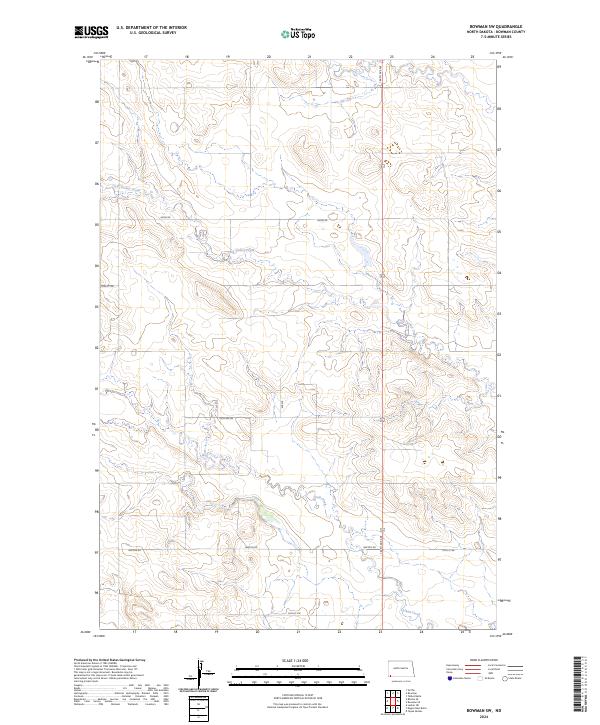
2024 Bowman SE
Bowman County, ND
2024 Bowman SW
Bowman County, ND
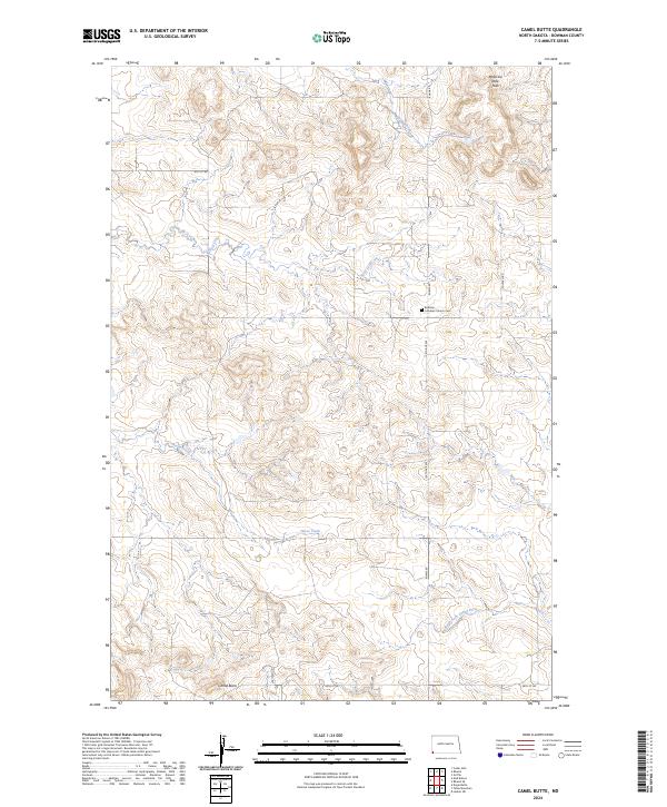
2024 Camel Butte
Bowman County, ND
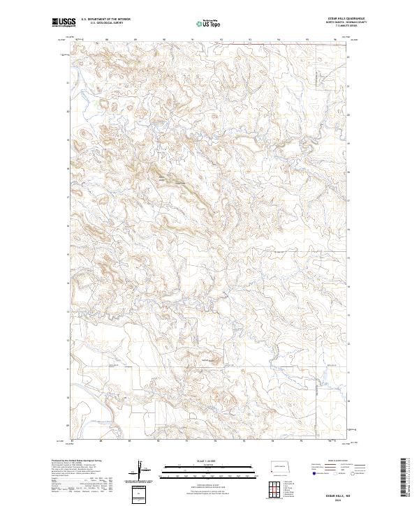
2024 Cedar Hills
Bowman County, ND
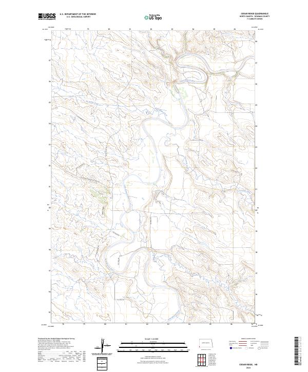
2024 Cedar Ridge
Bowman County, ND
2024 Doaks Butte
Bowman County, ND
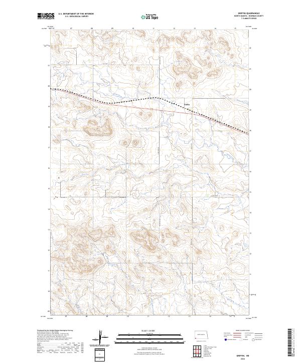
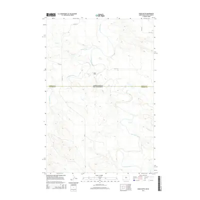
2024 Griffin
Bowman County, ND
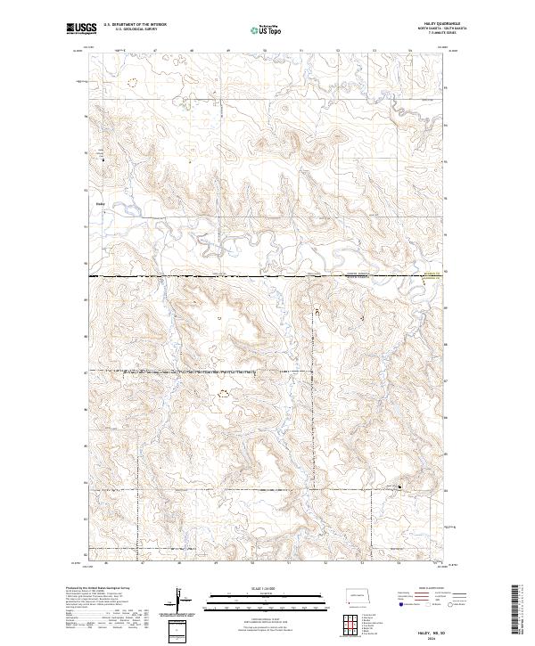
2024 Haley
Bowman County, ND
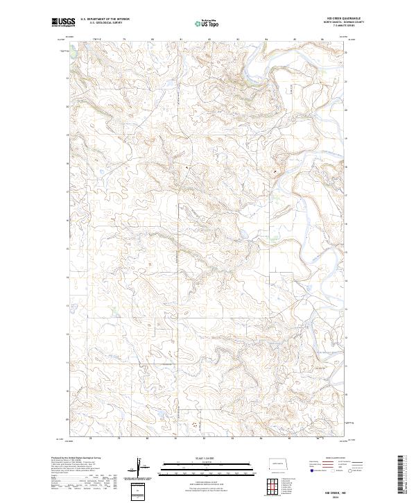
2024 Kid Creek
Bowman County, ND
2024 Mud Buttes
Bowman County, ND
2024 Rhame SE
Bowman County, ND
2024 Scranton NE
Bowman County, ND
2024 Scranton SW
Bowman County, ND
2024 Talbot Butte
Bowman County, ND