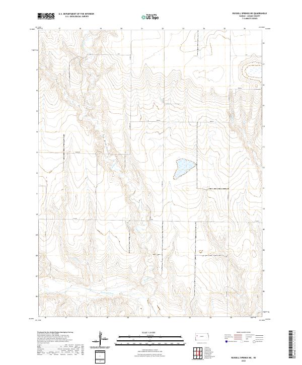
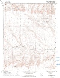
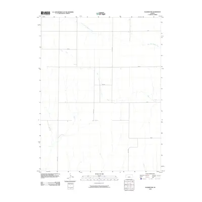
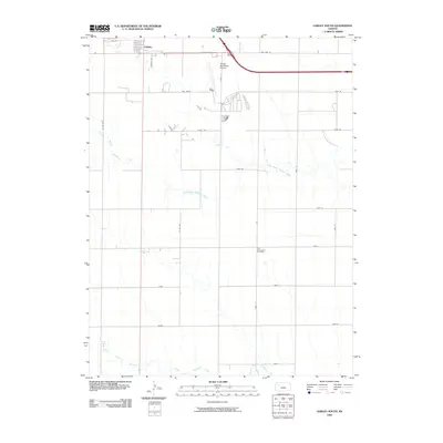
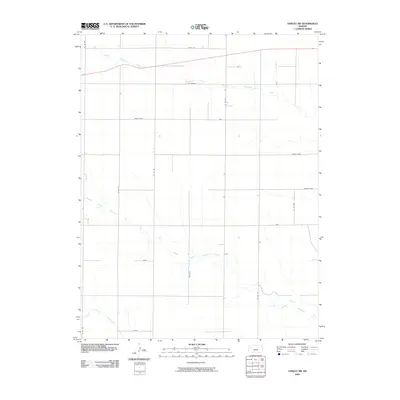
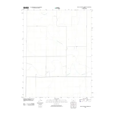
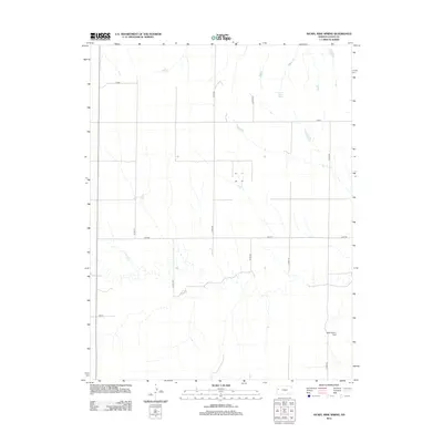
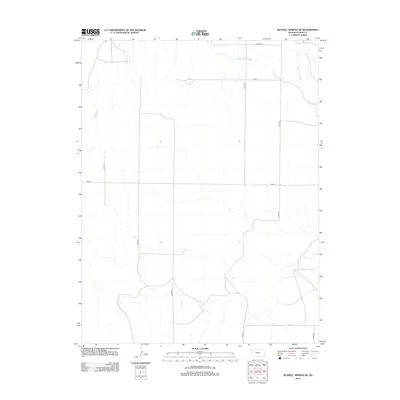
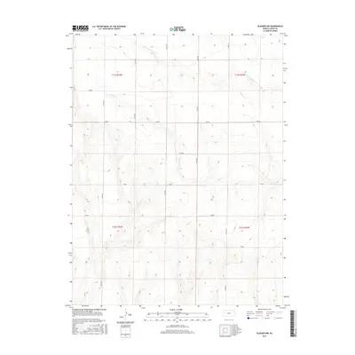
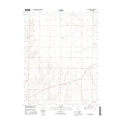
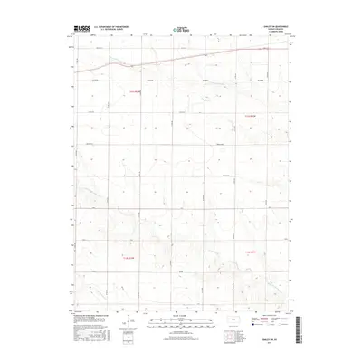
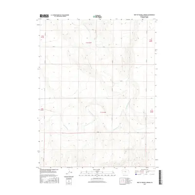
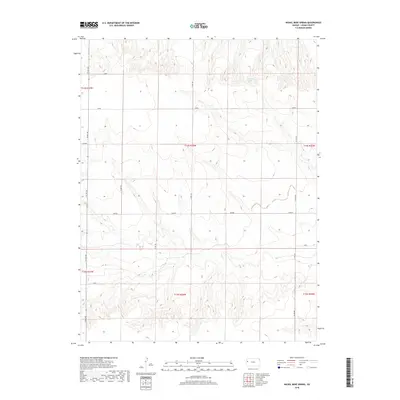
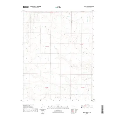
2022 Map of Russell Springs NE
USGS Topo · Published 2022About this map
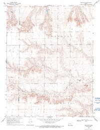
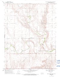
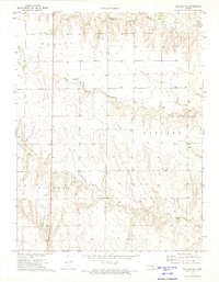
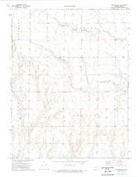
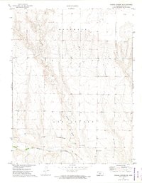
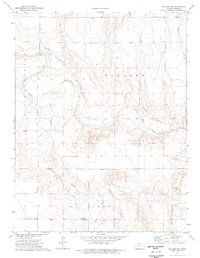
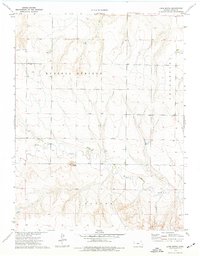
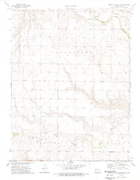
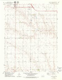
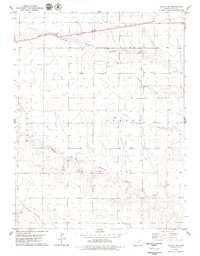
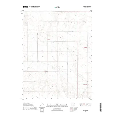
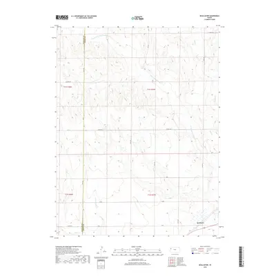
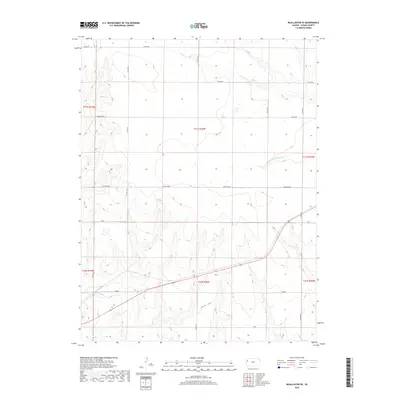
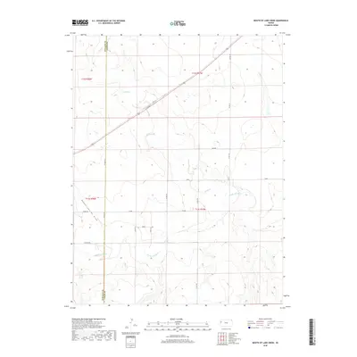
The Smoky Hill River flows through the southern section of this Logan County landscape, a vital watercourse in an otherwise arid expanse of Kansas prairie. The topography is defined by the winding course of Sixmile Cr, which meanders through the central and northern reaches, and the distinct incision of Six Mile Gulch. The grid of the Public Land Survey System is overlaid by a network of rural routes that bear evocative names such as Topeka, Seneca, and Rawhide. These named roads, along with tracks like Ute and Plains, follow the section lines and natural contours, illustrating the enduring relationship between the region's agricultural layout and its drainage patterns. The map highlights the intersection of modern cartographic precision with the traditional township and range divisions of t12s r34w and its neighboring blocks.
Find a feature on this map
17 named features on this map. Tap any name to fly to it.
Don’t see what you’re looking for? This feature index may not catch every label — zoom into the map to look around manually.
Map Details
Editions of this 2022 Russell Springs NE Map
This is the sole edition of this map. No revisions or reprints were ever made.
Historical Maps of Logan County Through Time
84 maps found
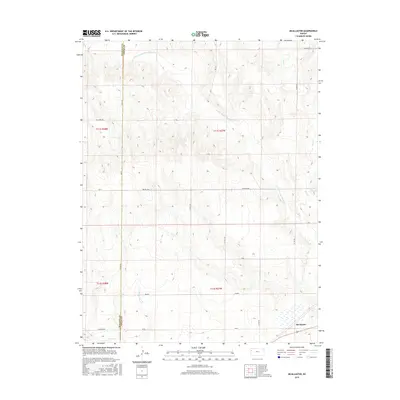
1969 Mc Allaster
Logan County, KS
1969 Mc Allaster SE
Logan County, KS
1969 Mouth of Lake Creek
Logan County, KS
1969 Nickel Mine Spring
Logan County, KS
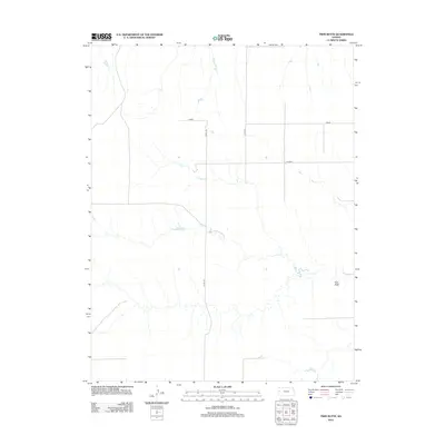
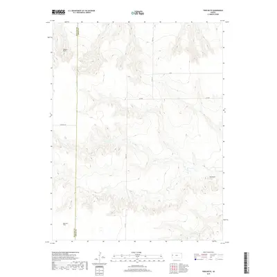
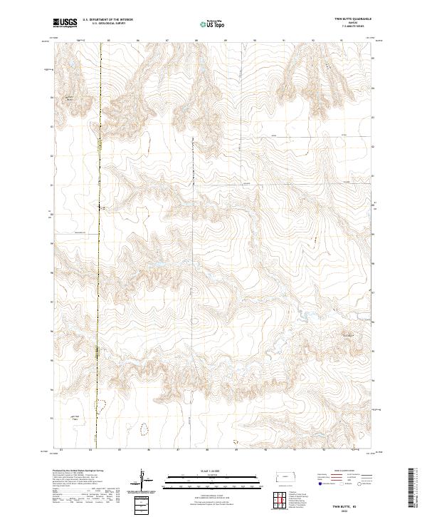
1969 Twin Butte
Logan County, KS
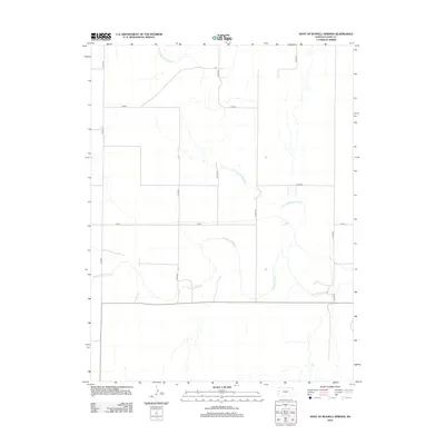
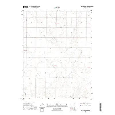
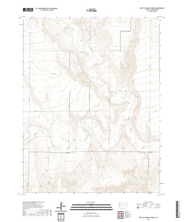
1969 West of Russell Springs
Logan County, KS
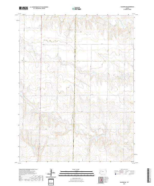
1972 Elkader NE
Logan County, KS
1972 Elkader NW
Logan County, KS
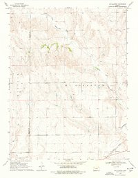
1972 Russell Springs NE
Logan County, KS
1974 Elkader SW
Logan County, KS
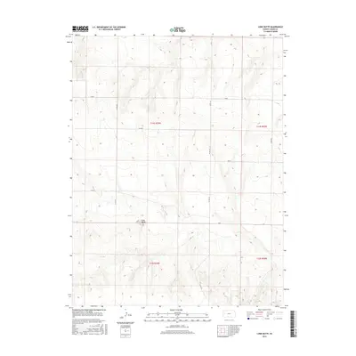
1974 Lone Butte
Logan County, KS
1974 Russell Springs SE
Logan County, KS
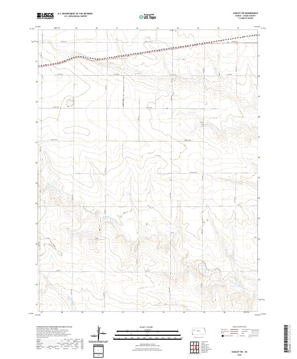
1979 Oakley South
Logan County, KS
1979 Oakley SW
Logan County, KS
2009 Elkader NE
Logan County, KS
2009 Elkader NW
Logan County, KS
2009 Elkader SW
Logan County, KS
2009 Lone Butte
Logan County, KS
2009 McAllaster
Logan County, KS
2009 McAllaster SE
Logan County, KS
2009 Mouth of Lake Creek
Logan County, KS
2009 Nickel Mine Spring
Logan County, KS
2009 Oakley South
Logan County, KS
2009 Oakley SW
Logan County, KS
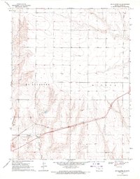
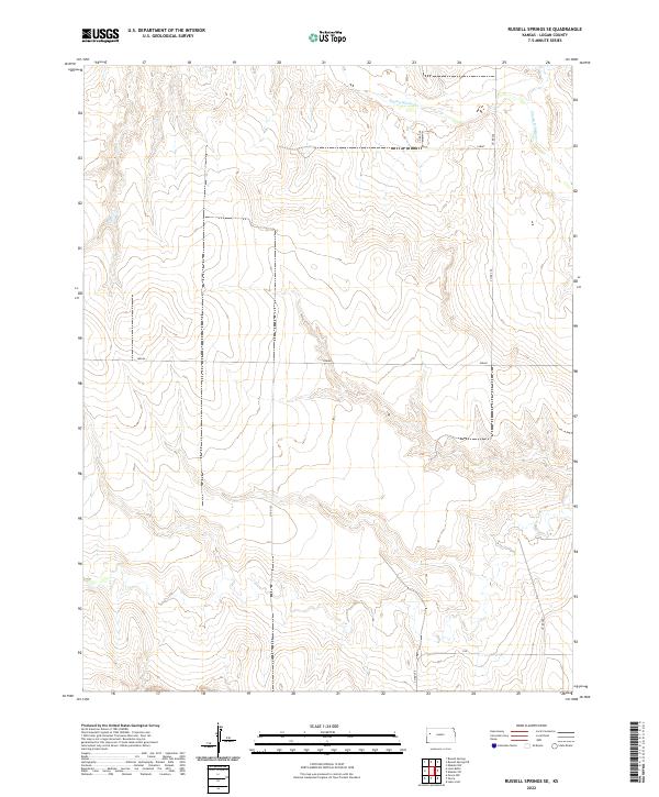
2009 Russell Springs NE
Logan County, KS
2009 Russell Springs SE
Logan County, KS
2009 Twin Butte
Logan County, KS
2009 West of Russell Springs
Logan County, KS
2012 Elkader NE
Logan County, KS
2012 Elkader NW
Logan County, KS
2012 Elkader SW
Logan County, KS
2012 Lone Butte
Logan County, KS
2012 McAllaster
Logan County, KS
2012 McAllaster SE
Logan County, KS
2012 Mouth of Lake Creek
Logan County, KS
2012 Nickel Mine Spring
Logan County, KS
2012 Oakley South
Logan County, KS
2012 Oakley SW
Logan County, KS
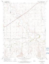
2012 Russell Springs NE
Logan County, KS
2012 Russell Springs SE
Logan County, KS
2012 Twin Butte
Logan County, KS
2012 West of Russell Springs
Logan County, KS
2015 Elkader NE
Logan County, KS
2015 Elkader NW
Logan County, KS
2015 Elkader SW
Logan County, KS
2015 Lone Butte
Logan County, KS
2015 McAllaster
Logan County, KS
2015 McAllaster SE
Logan County, KS
2015 Mouth of Lake Creek
Logan County, KS
2015 Nickel Mine Spring
Logan County, KS
2015 Oakley South
Logan County, KS
2015 Oakley SW
Logan County, KS
2015 Russell Springs NE
Logan County, KS
2015 Russell Springs SE
Logan County, KS
2015 Twin Butte
Logan County, KS
2015 West of Russell Springs
Logan County, KS
2018 Elkader NE
Logan County, KS
2018 Elkader NW
Logan County, KS
2018 Elkader SW
Logan County, KS
2018 Lone Butte
Logan County, KS
2018 McAllaster
Logan County, KS
2018 McAllaster SE
Logan County, KS
2018 Mouth of Lake Creek
Logan County, KS
2018 Nickel Mine Spring
Logan County, KS
2018 Oakley South
Logan County, KS
2018 Oakley SW
Logan County, KS
2018 Russell Springs NE
Logan County, KS
2018 Russell Springs SE
Logan County, KS
2018 Twin Butte
Logan County, KS
2018 West of Russell Springs
Logan County, KS
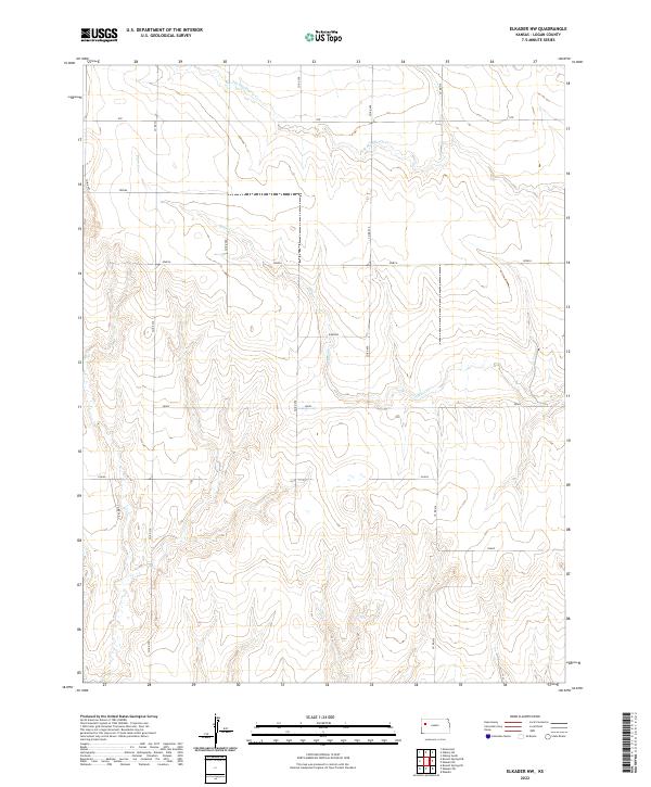
2022 Elkader NE
Logan County, KS
2022 Elkader NW
Logan County, KS
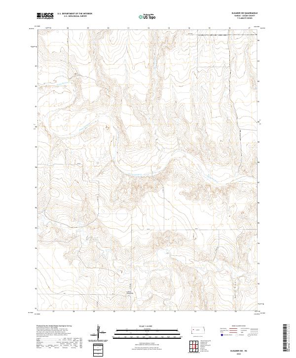
2022 Elkader SW
Logan County, KS
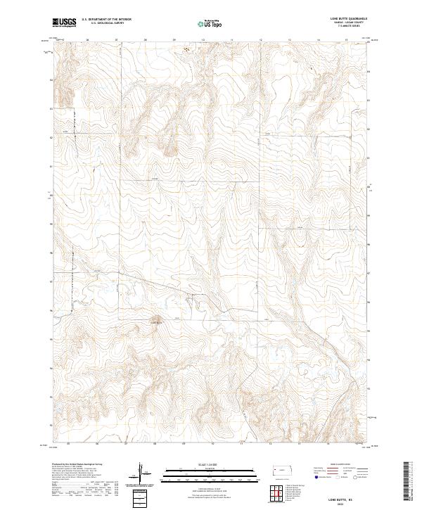
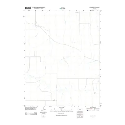
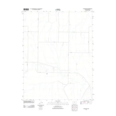
2022 Lone Butte
Logan County, KS
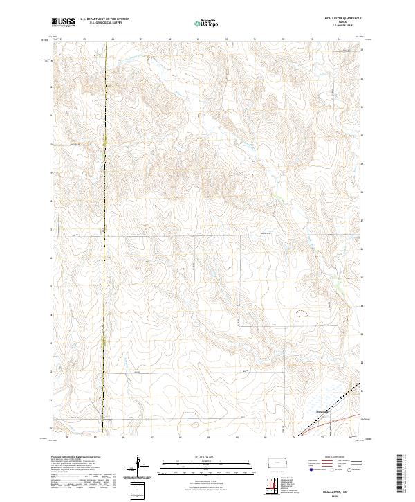
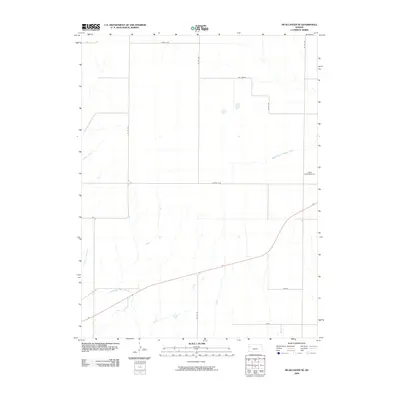
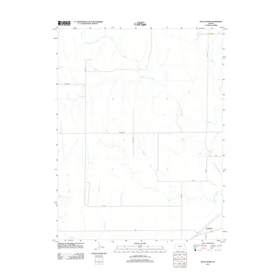
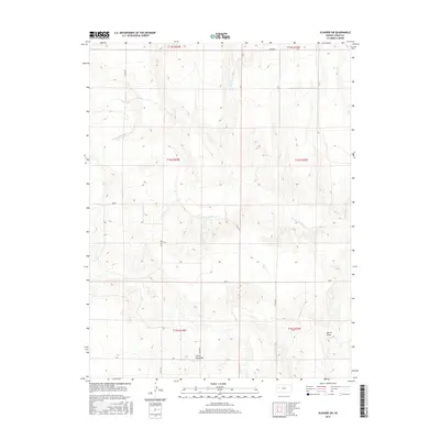
2022 McAllaster
Logan County, KS
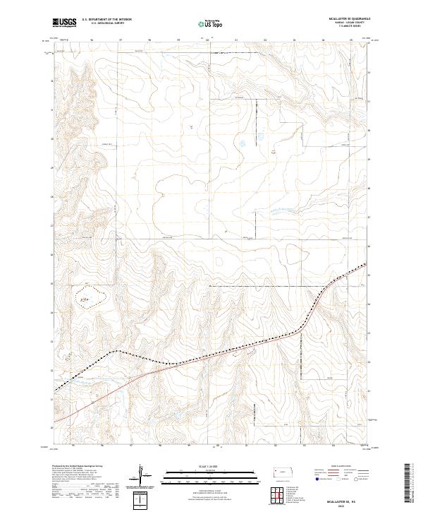
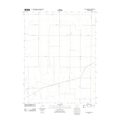
2022 McAllaster SE
Logan County, KS
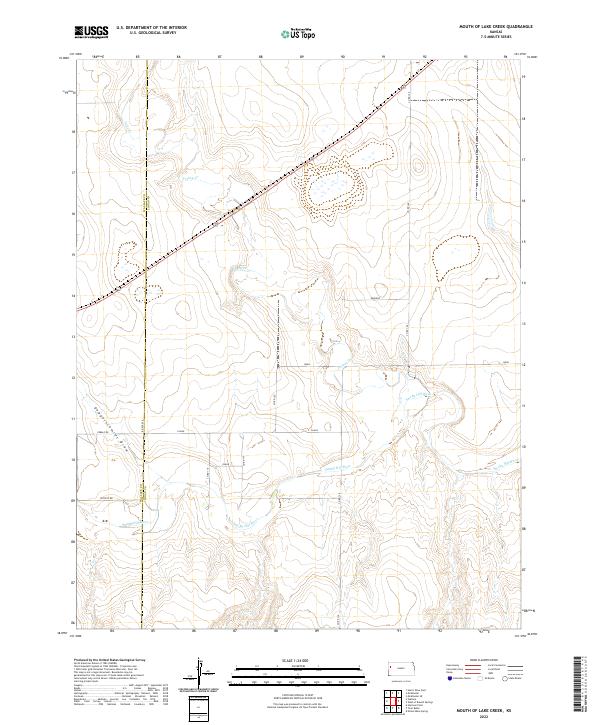
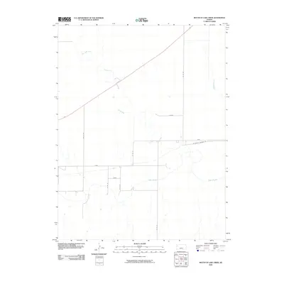
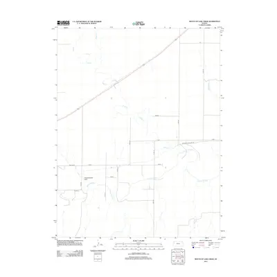
2022 Mouth of Lake Creek
Logan County, KS
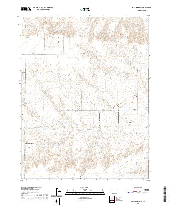
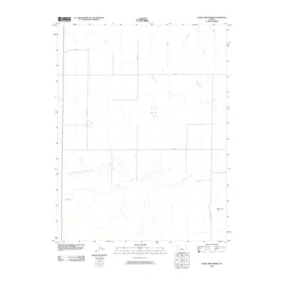
2022 Nickel Mine Spring
Logan County, KS
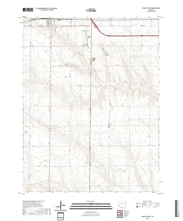
2022 Oakley South
Logan County, KS
2022 Oakley SW
Logan County, KS
2022 Russell Springs NE
Logan County, KS
2022 Russell Springs SE
Logan County, KS
2022 Twin Butte
Logan County, KS
2022 West of Russell Springs
Logan County, KS