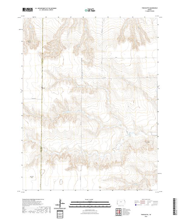
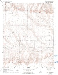
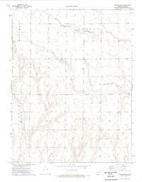
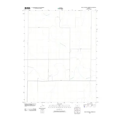
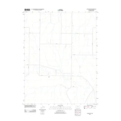
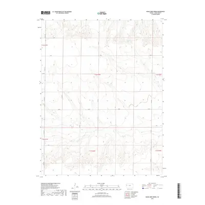
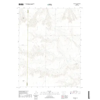
2022 Map of Twin Butte
USGS Topo · Published 2022About this map
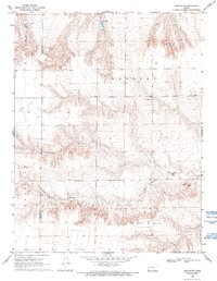
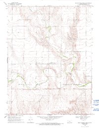
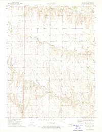
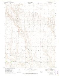
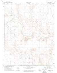
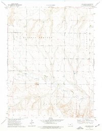
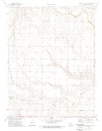
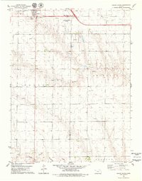
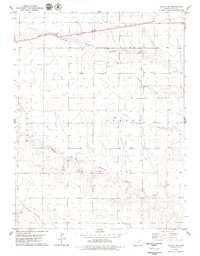
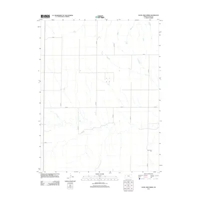
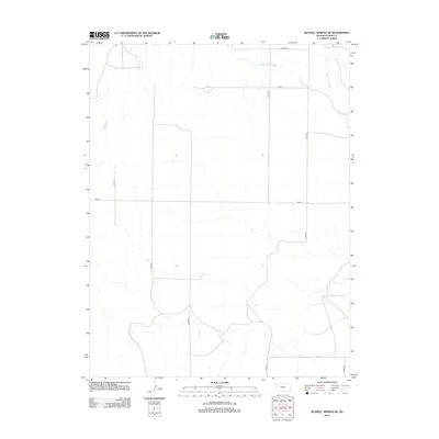
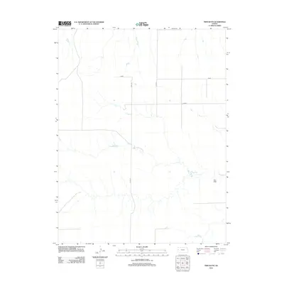
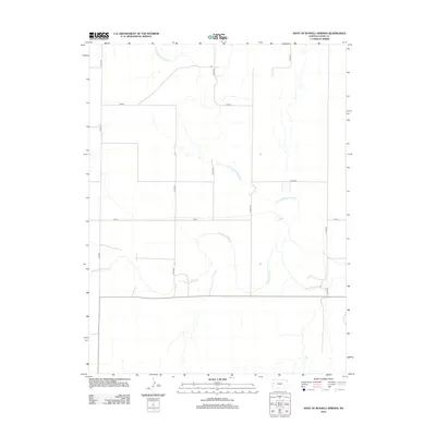
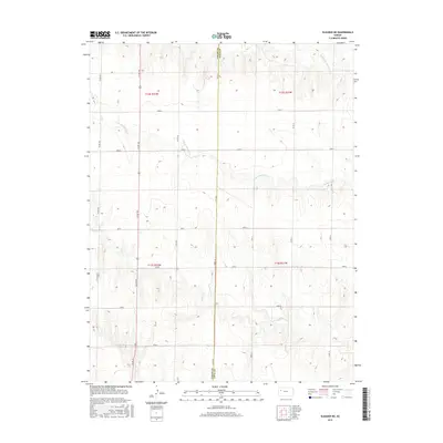
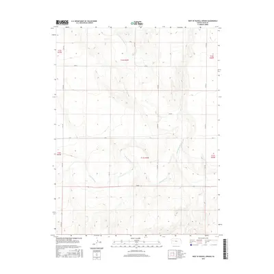
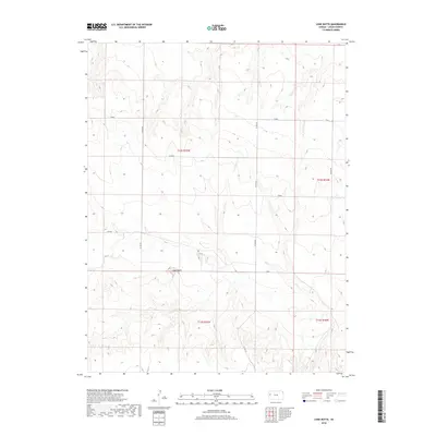
The High Plains of Western Kansas define this landscape along the border of Logan and Wallace Counties, where the terrain breaks from flat prairie into the distinct elevations of Wallace Bluffs and the isolated summit of Twin Butte. This modern survey illustrates a sparsely populated agricultural and ranching corridor, marked by extensive upland plateaus like Harrison Flats. The map documents a grid of section lines and rural connectors such as Ironhorse Rd and Co Rd 130, which support the remote farmsteads and rangelands characteristic of the region. Local cultural or geographic identifiers like Kiowa and Jayhawk appear across the township lines, likely referencing historical schools, stations, or community districts that once anchored this portion of the Kansas interior. The survey provides a clear view of the drainage patterns and contour shifts that dictate the placement of roads and homesteads in this arid environment.
Find a feature on this map
16 named features on this map. Tap any name to fly to it.
Don’t see what you’re looking for? This feature index may not catch every label — zoom into the map to look around manually.
Map Details
Editions of this 2022 Twin Butte Map
This is the sole edition of this map. No revisions or reprints were ever made.
Historical Maps of Harrison Township Through Time
84 maps found
1969 Mc Allaster
Logan County, KS
1969 Mc Allaster SE
Logan County, KS
1969 Mouth of Lake Creek
Logan County, KS
1969 Nickel Mine Spring
Logan County, KS
1969 Twin Butte
Logan County, KS
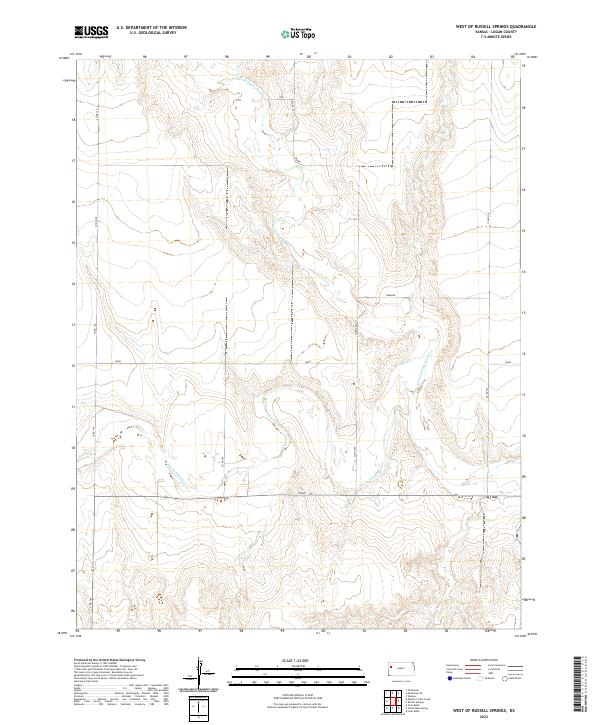
1969 West of Russell Springs
Logan County, KS
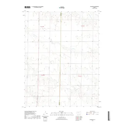
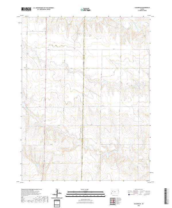
1972 Elkader NE
Logan County, KS
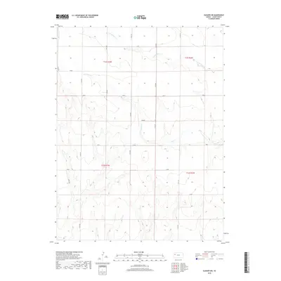
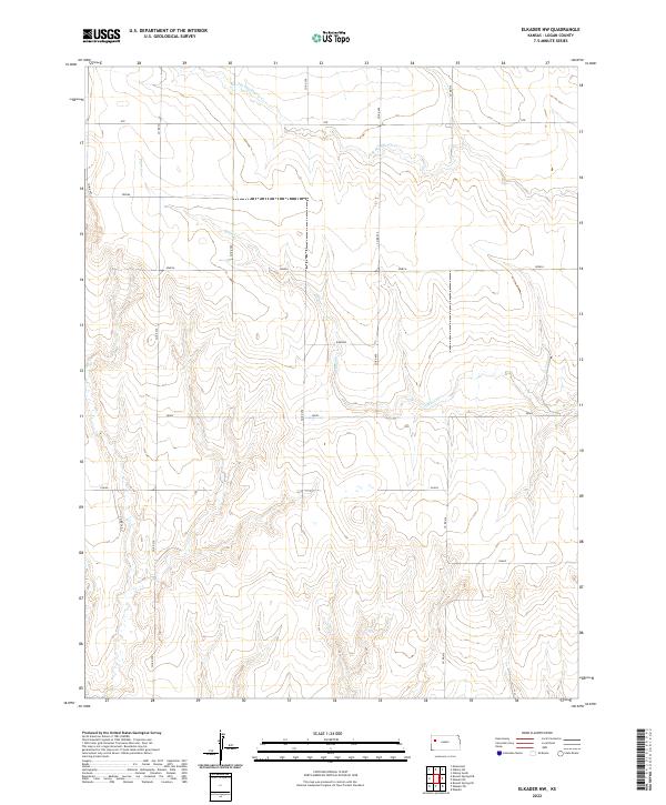
1972 Elkader NW
Logan County, KS
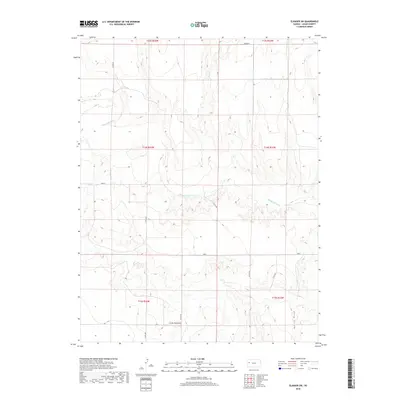
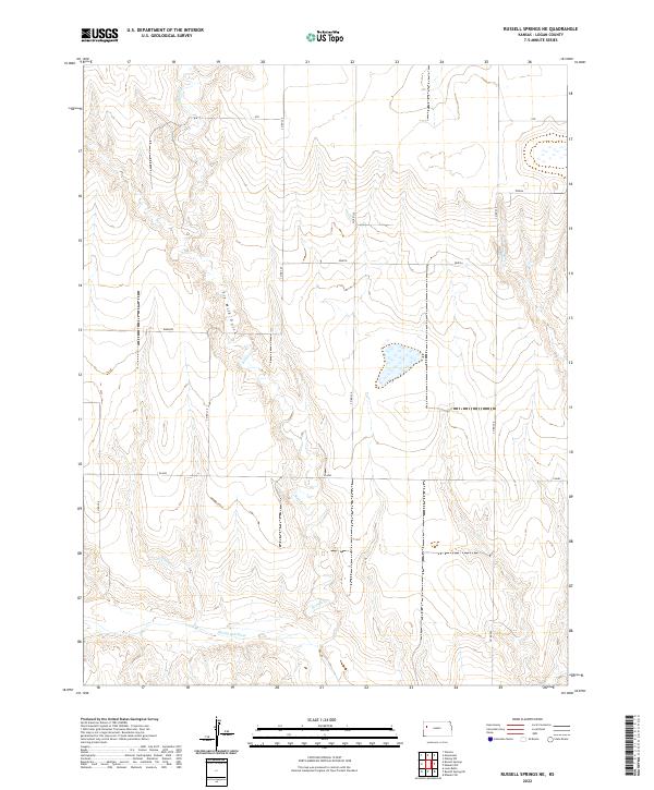
1972 Russell Springs NE
Logan County, KS
1974 Elkader SW
Logan County, KS
1974 Lone Butte
Logan County, KS
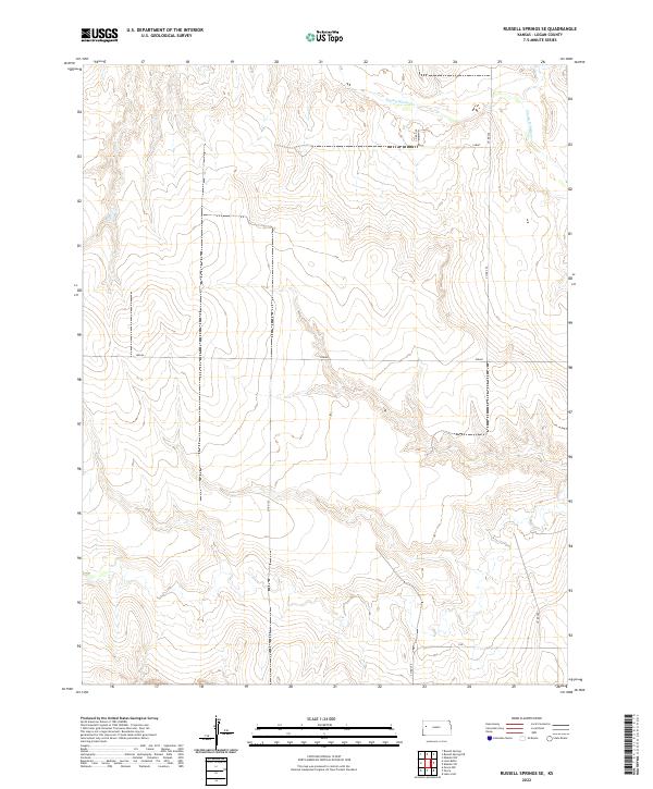
1974 Russell Springs SE
Logan County, KS
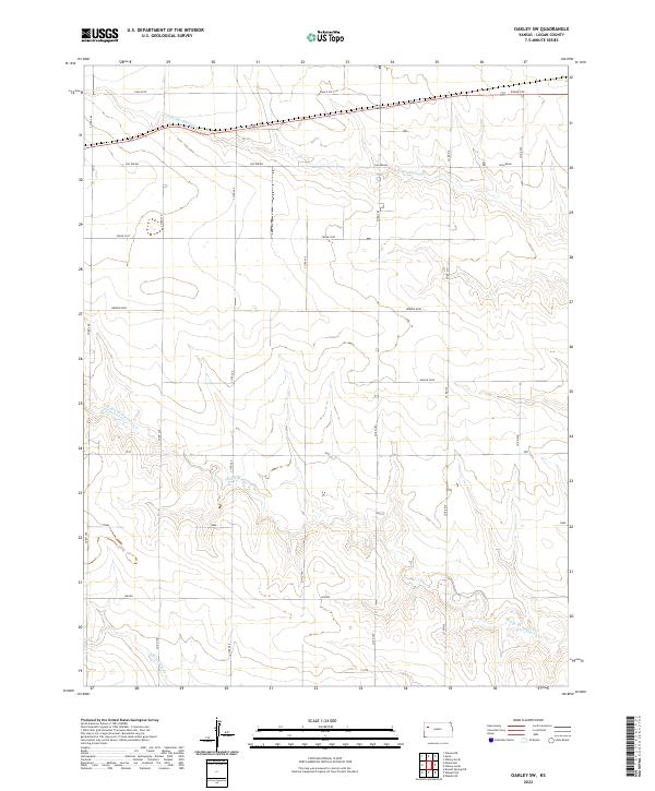
1979 Oakley South
Logan County, KS
1979 Oakley SW
Logan County, KS
2009 Elkader NE
Logan County, KS
2009 Elkader NW
Logan County, KS
2009 Elkader SW
Logan County, KS
2009 Lone Butte
Logan County, KS
2009 McAllaster
Logan County, KS
2009 McAllaster SE
Logan County, KS
2009 Mouth of Lake Creek
Logan County, KS
2009 Nickel Mine Spring
Logan County, KS
2009 Oakley South
Logan County, KS
2009 Oakley SW
Logan County, KS
2009 Russell Springs NE
Logan County, KS
2009 Russell Springs SE
Logan County, KS
2009 Twin Butte
Logan County, KS
2009 West of Russell Springs
Logan County, KS
2012 Elkader NE
Logan County, KS
2012 Elkader NW
Logan County, KS
2012 Elkader SW
Logan County, KS
2012 Lone Butte
Logan County, KS
2012 McAllaster
Logan County, KS
2012 McAllaster SE
Logan County, KS
2012 Mouth of Lake Creek
Logan County, KS
2012 Nickel Mine Spring
Logan County, KS
2012 Oakley South
Logan County, KS
2012 Oakley SW
Logan County, KS
2012 Russell Springs NE
Logan County, KS
2012 Russell Springs SE
Logan County, KS
2012 Twin Butte
Logan County, KS
2012 West of Russell Springs
Logan County, KS
2015 Elkader NE
Logan County, KS
2015 Elkader NW
Logan County, KS
2015 Elkader SW
Logan County, KS
2015 Lone Butte
Logan County, KS
2015 McAllaster
Logan County, KS
2015 McAllaster SE
Logan County, KS
2015 Mouth of Lake Creek
Logan County, KS
2015 Nickel Mine Spring
Logan County, KS
2015 Oakley South
Logan County, KS
2015 Oakley SW
Logan County, KS
2015 Russell Springs NE
Logan County, KS
2015 Russell Springs SE
Logan County, KS
2015 Twin Butte
Logan County, KS
2015 West of Russell Springs
Logan County, KS
2018 Elkader NE
Logan County, KS
2018 Elkader NW
Logan County, KS
2018 Elkader SW
Logan County, KS
2018 Lone Butte
Logan County, KS
2018 McAllaster
Logan County, KS
2018 McAllaster SE
Logan County, KS
2018 Mouth of Lake Creek
Logan County, KS
2018 Nickel Mine Spring
Logan County, KS
2018 Oakley South
Logan County, KS
2018 Oakley SW
Logan County, KS
2018 Russell Springs NE
Logan County, KS
2018 Russell Springs SE
Logan County, KS
2018 Twin Butte
Logan County, KS
2018 West of Russell Springs
Logan County, KS
2022 Elkader NE
Logan County, KS
2022 Elkader NW
Logan County, KS
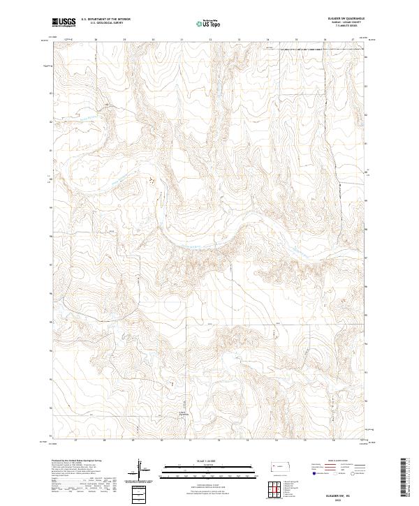
2022 Elkader SW
Logan County, KS
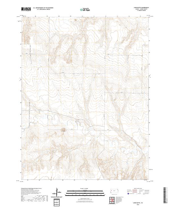
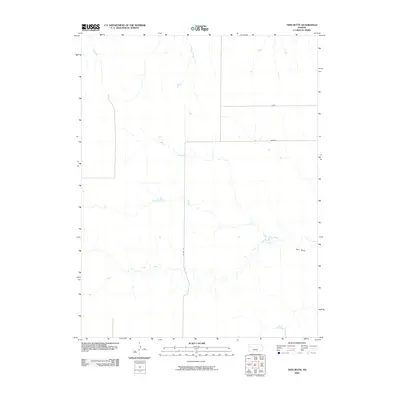
2022 Lone Butte
Logan County, KS
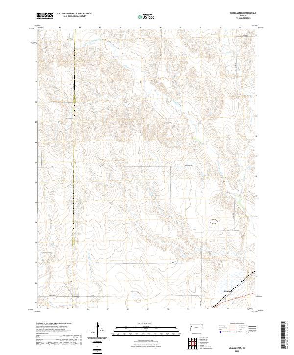
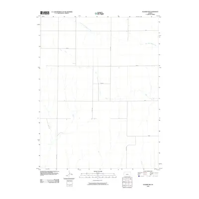
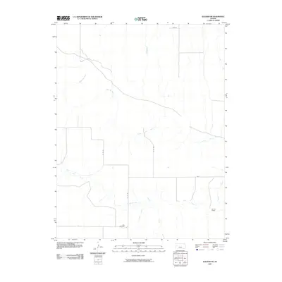
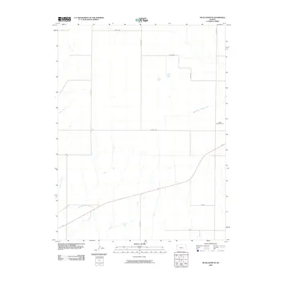
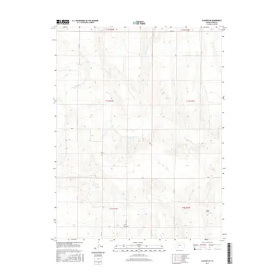
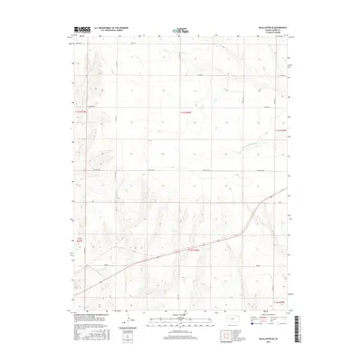
2022 McAllaster
Logan County, KS
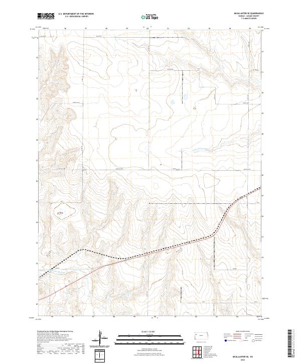
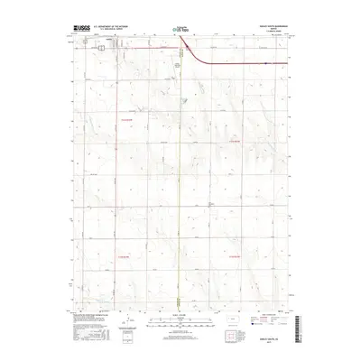
2022 McAllaster SE
Logan County, KS
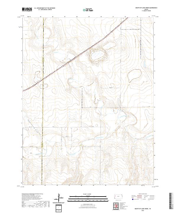
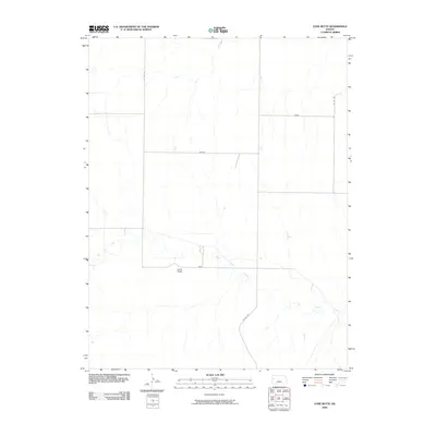
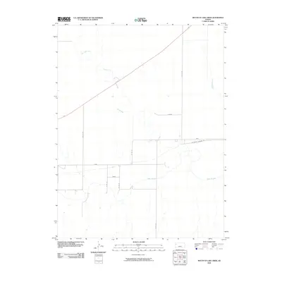
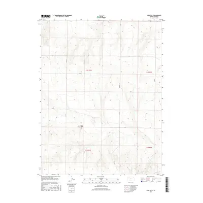
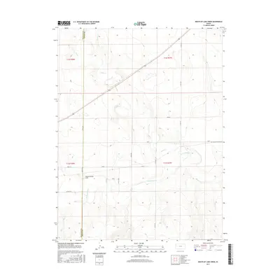
2022 Mouth of Lake Creek
Logan County, KS
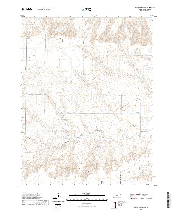
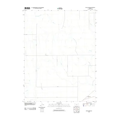
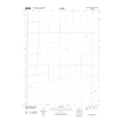
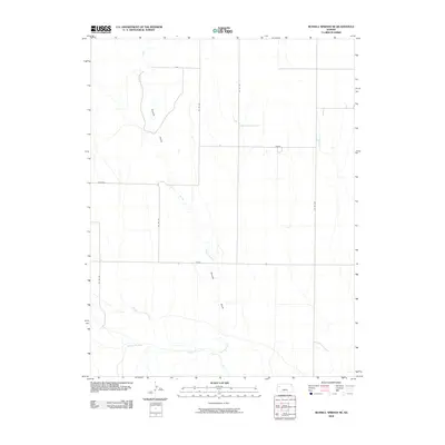
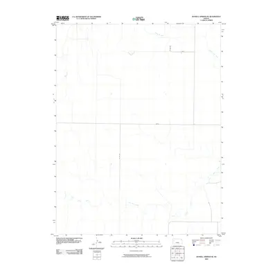
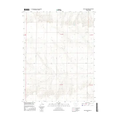
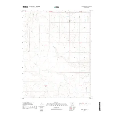
2022 Nickel Mine Spring
Logan County, KS
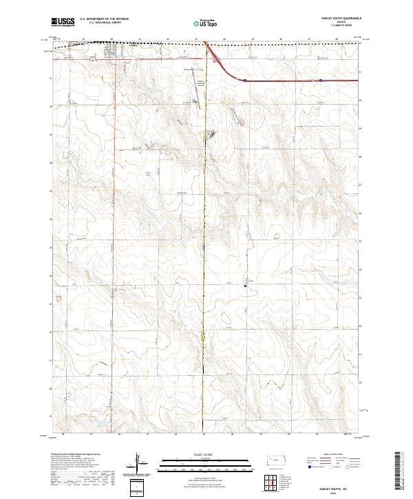
2022 Oakley South
Logan County, KS
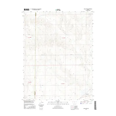
2022 Oakley SW
Logan County, KS
2022 Russell Springs NE
Logan County, KS
2022 Russell Springs SE
Logan County, KS
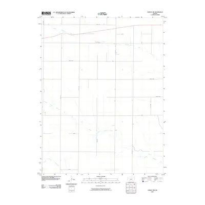
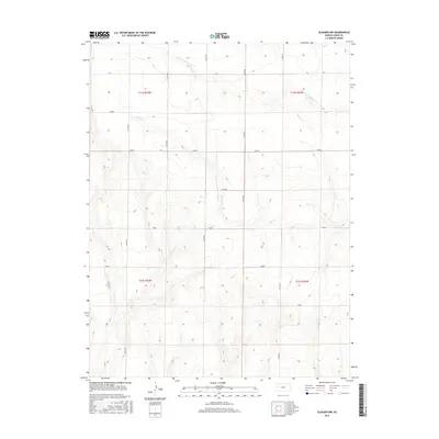
2022 Twin Butte
Logan County, KS
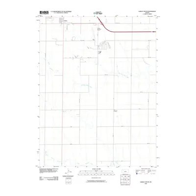
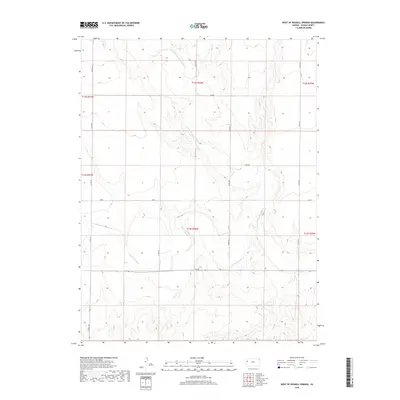
2022 West of Russell Springs
Logan County, KS