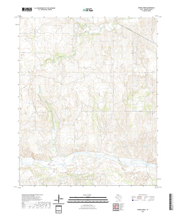
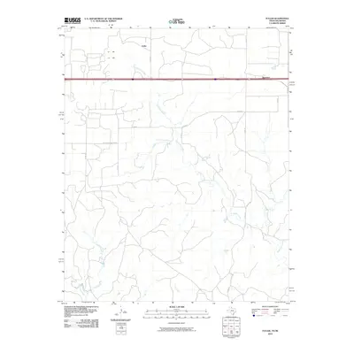
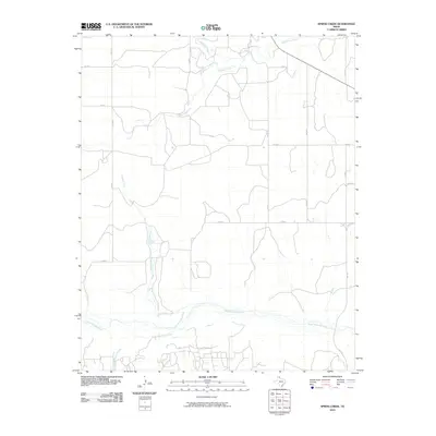
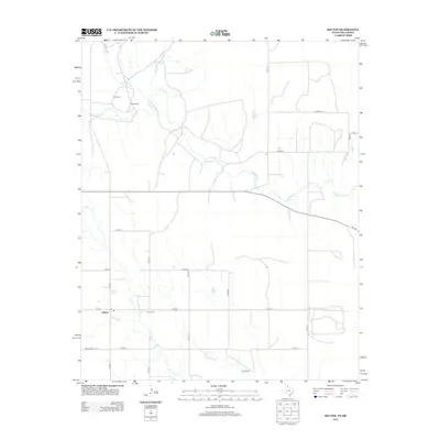
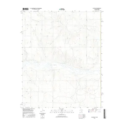
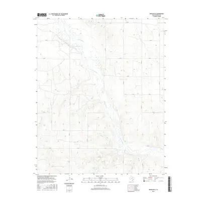
2022 Map of Spring Creek
USGS Topo · Published 2022About this map
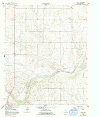
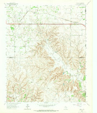
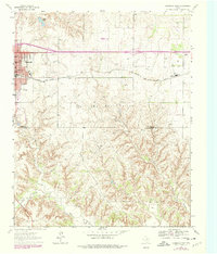
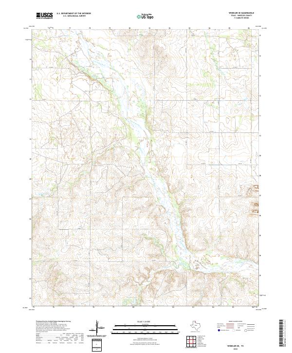
N Fork Red River dominates the southern portion of this Wheeler County landscape, cutting a wide braided channel across the Texas Panhandle. The terrain is defined by a series of north-south drainage systems, including Spring Creek and Graham Creek, which feed into the primary river valley. These watercourses have carved out significant topographic relief, creating a network of draws and ridges that dictate the placement of local infrastructure. A rigid grid of county roads, such as Co RD 7 and Co RD 5, navigates this complex drainage pattern, while W Oklahoma Ave and state-maintained routes like FM 3104 provide vital connections through the ranchlands. This map illustrates the intersection of modern transportation with the ancient hydrology of the Red River basin, showing how agricultural access roads follow the natural divides between Sweetwater Creek and Little Hackberry Creek.
Find a feature on this map
17 named features on this map. Tap any name to fly to it.
Don’t see what you’re looking for? This feature index may not catch every label — zoom into the map to look around manually.
Map Details
Editions of this 2022 Spring Creek Map
This is the sole edition of this map. No revisions or reprints were ever made.
Historical Maps of Wheeler County Through Time
78 maps found
1962 Kelton SE
Wheeler County, TX
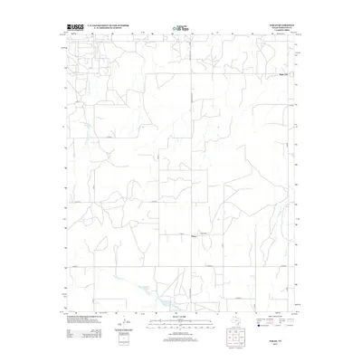
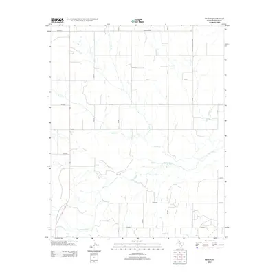
1962 Pakan
Wheeler County, TX
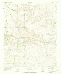
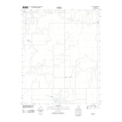
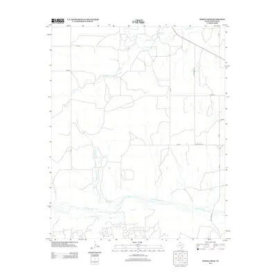
1962 Spring Creek
Wheeler County, TX
1962 Twitty
Wheeler County, TX
1962 Wheeler SE
Wheeler County, TX
1963 Allison SW
Wheeler County, TX
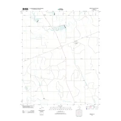
1963 Briscoe
Wheeler County, TX
1963 Fulller
Wheeler County, TX
1963 Kelton NW
Wheeler County, TX
1963 Kelton
Wheeler County, TX
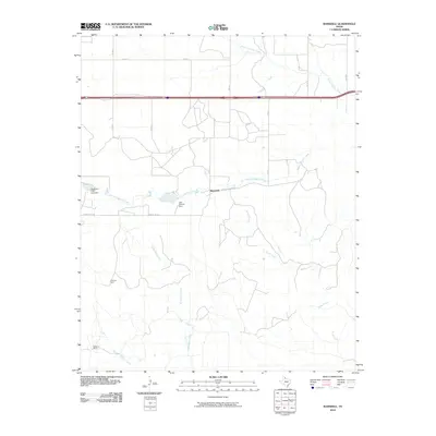
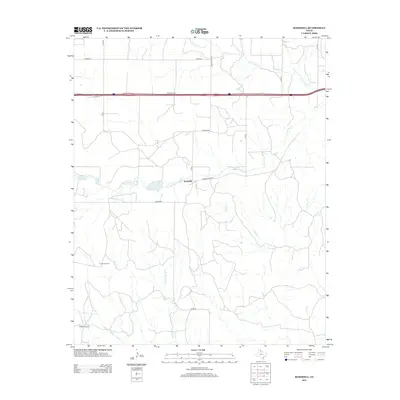
1963 Ramsdell
Wheeler County, TX
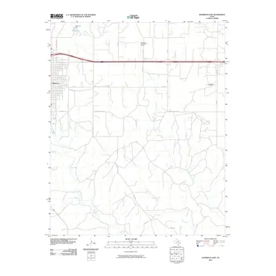
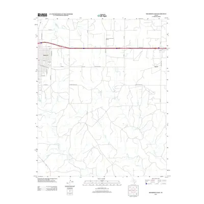
1963 Shamrock East
Wheeler County, TX
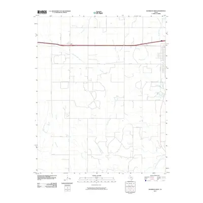
1963 Shamrock West
Wheeler County, TX
2010 Allison SW
Wheeler County, TX
2010 Briscoe
Wheeler County, TX
2010 Fuller
Wheeler County, TX
2010 Kelton NW
Wheeler County, TX
2010 Kelton SE
Wheeler County, TX
2010 Kelton
Wheeler County, TX
2010 Pakan
Wheeler County, TX
2010 Ramsdell
Wheeler County, TX
2010 Shamrock East
Wheeler County, TX
2010 Shamrock West
Wheeler County, TX
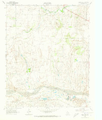
2010 Spring Creek
Wheeler County, TX
2010 Twitty
Wheeler County, TX
2010 Wheeler SE
Wheeler County, TX
2012 Allison SW
Wheeler County, TX
2012 Briscoe
Wheeler County, TX
2012 Fuller
Wheeler County, TX
2012 Kelton NW
Wheeler County, TX
2012 Kelton SE
Wheeler County, TX
2012 Kelton
Wheeler County, TX
2012 Pakan
Wheeler County, TX
2012 Ramsdell
Wheeler County, TX
2012 Shamrock East
Wheeler County, TX
2012 Shamrock West
Wheeler County, TX
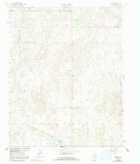
2012 Spring Creek
Wheeler County, TX
2012 Twitty
Wheeler County, TX
2012 Wheeler SE
Wheeler County, TX
2016 Allison SW
Wheeler County, TX
2016 Briscoe
Wheeler County, TX
2016 Fuller
Wheeler County, TX
2016 Kelton NW
Wheeler County, TX
2016 Kelton SE
Wheeler County, TX
2016 Kelton
Wheeler County, TX
2016 Pakan
Wheeler County, TX
2016 Ramsdell
Wheeler County, TX
2016 Shamrock East
Wheeler County, TX
2016 Shamrock West
Wheeler County, TX
2016 Spring Creek
Wheeler County, TX
2016 Twitty
Wheeler County, TX
2016 Wheeler SE
Wheeler County, TX
2019 Allison SW
Wheeler County, TX
2019 Briscoe
Wheeler County, TX
2019 Fuller
Wheeler County, TX
2019 Kelton NW
Wheeler County, TX
2019 Kelton SE
Wheeler County, TX
2019 Kelton
Wheeler County, TX
2019 Pakan
Wheeler County, TX
2019 Ramsdell
Wheeler County, TX

2019 Shamrock East
Wheeler County, TX
2019 Shamrock West
Wheeler County, TX
2019 Spring Creek
Wheeler County, TX
2019 Twitty
Wheeler County, TX
2019 Wheeler SE
Wheeler County, TX
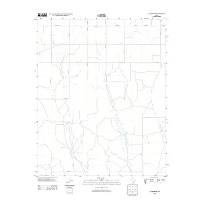
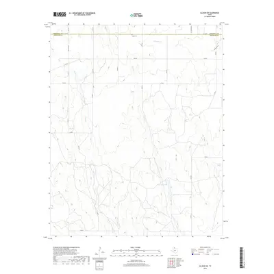
2022 Allison SW
Wheeler County, TX
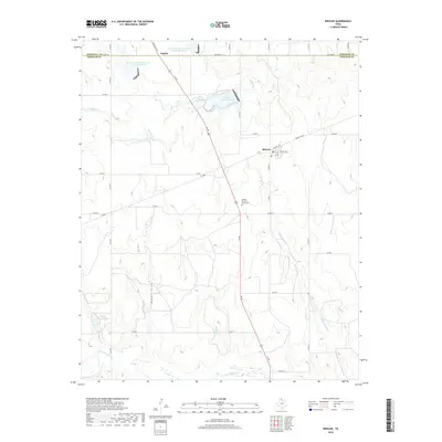
2022 Briscoe
Wheeler County, TX
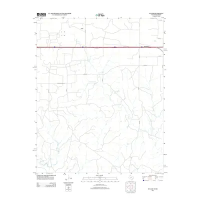
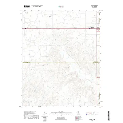
2022 Fuller
Wheeler County, TX
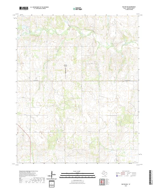
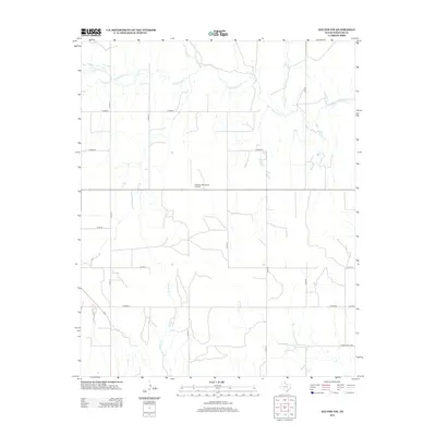
2022 Kelton NW
Wheeler County, TX
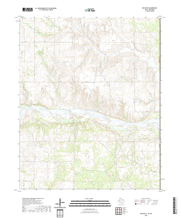
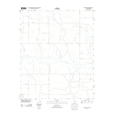
2022 Kelton SE
Wheeler County, TX
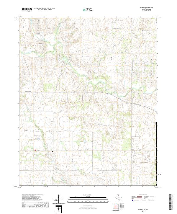
2022 Kelton
Wheeler County, TX
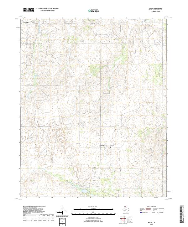
2022 Pakan
Wheeler County, TX
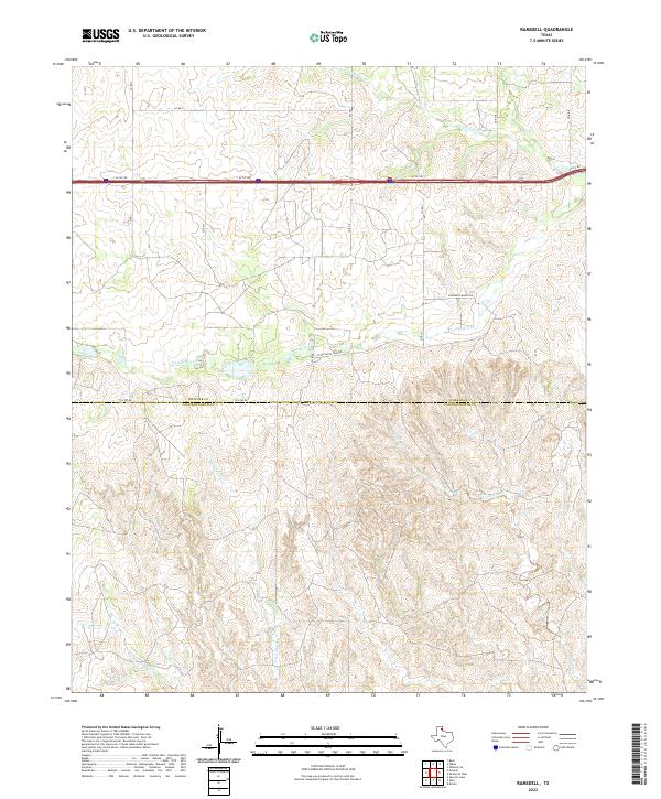
2022 Ramsdell
Wheeler County, TX
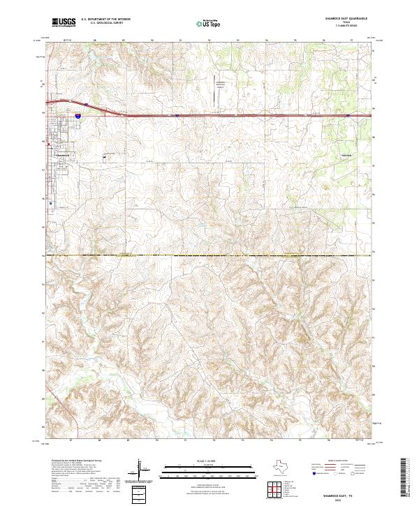
2022 Shamrock East
Wheeler County, TX
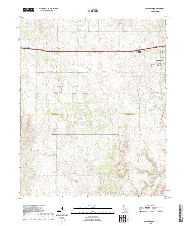
2022 Shamrock West
Wheeler County, TX
2022 Spring Creek
Wheeler County, TX
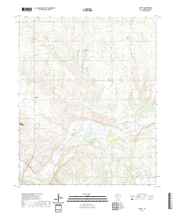
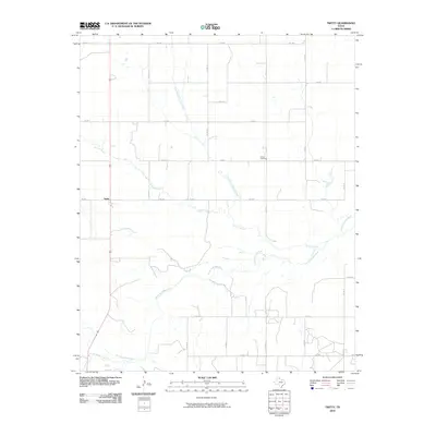
2022 Twitty
Wheeler County, TX
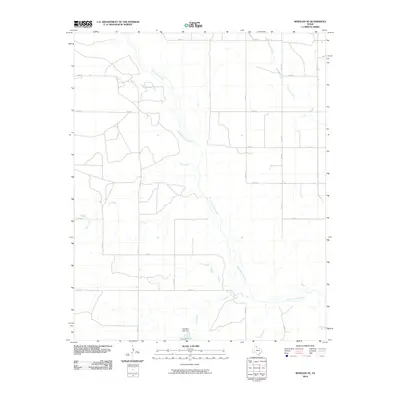
2022 Wheeler SE
Wheeler County, TX