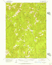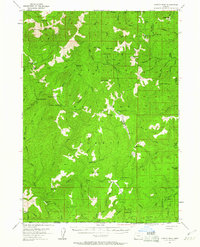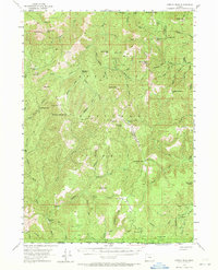
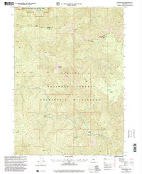
1954 Map of Chetco Peak
USGS Topo · Published 1971This historical map portrays the area of Chetco Peak in 1954, primarily covering Curry County as well as portions of Josephine County. Featuring a scale of 1:62500, this map provides a highly detailed snapshot of the terrain, roads, buildings, counties, and historical landmarks in the Chetco Peak region at the time. Published in 1971, it is one of 4 known editions of this map due to revisions or reprints.
Map Details
Editions of this 1954 Chetco Peak Map
4 editions found
Historical Maps of Curry County Through Time
66 maps found
1954 Agness
Curry County, OR
1954 Cape Blanco
Curry County, OR
1954 Cape Ferrelo
Curry County, OR
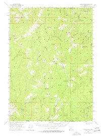
1954 Chetco Peak
Curry County, OR
1954 Collier Butte
Curry County, OR
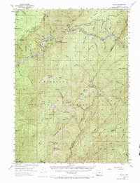
1954 Marial
Curry County, OR
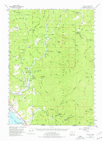
1954 Mt. Emily
Curry County, OR
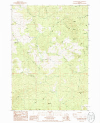
1985 Calf Ranch Mtn
Curry County, OR
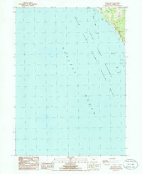
1985 Mack Point
Curry County, OR
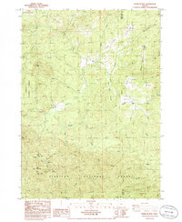
1986 Barklow Mountain
Curry County, OR
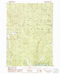
1986 Brushy Bald Mountain
Curry County, OR
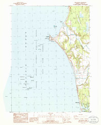
1986 Cape Blanco
Curry County, OR
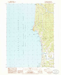
1986 Cape Sebastian
Curry County, OR
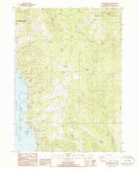
1986 Carpenterville
Curry County, OR
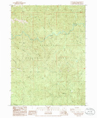
1986 Father Mountain
Curry County, OR
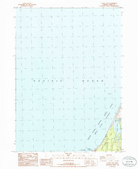
1986 Floras Lake
Curry County, OR
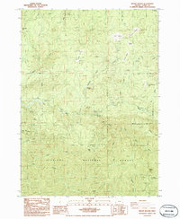
1986 Mount Butler
Curry County, OR
1986 Ophir
Curry County, OR
1986 Signal Buttes
Curry County, OR
1986 Sixes
Curry County, OR
1986 Sundown Mtn
Curry County, OR
1989 Agness
Curry County, OR
1989 Big Craggies
Curry County, OR
1989 Biscuit Hill
Curry County, OR
1989 Bosley Butte
Curry County, OR
1989 Brandy Peak
Curry County, OR
1989 Chetco Peak
Curry County, OR
1989 Collier Butte
Curry County, OR
1989 Fourth of July Creek
Curry County, OR
1989 Horse Sign Butte
Curry County, OR
1989 Kelsey Peak
Curry County, OR
1989 Marial
Curry County, OR
1989 Mt. Emily
Curry County, OR
1989 Ophir Mountain
Curry County, OR
1989 Quail Prairie Mtn
Curry County, OR
1989 Quosatana Butte
Curry County, OR
1989 Soldier Camp Mtn
Curry County, OR
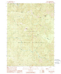
1989 Tincup Peak
Curry County, OR
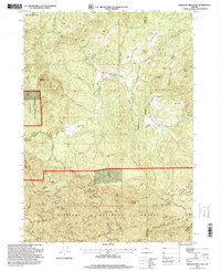
1996 Barklow Mountain
Curry County, OR
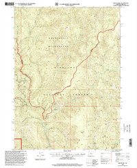
1996 Biscuit Hill
Curry County, OR
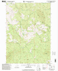
1996 Calf Ranch Mountain
Curry County, OR
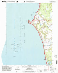
1996 Cape Blanco
Curry County, OR
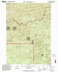
1996 Father Mountain
Curry County, OR
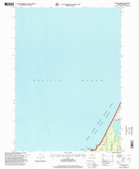
1996 Floras Lake
Curry County, OR
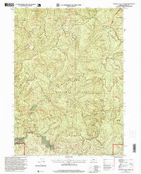
1996 Fourth of July Creek
Curry County, OR
1996 Mount Butler
Curry County, OR
1996 Mount Emily
Curry County, OR
1996 Sixes
Curry County, OR
1998 Agness
Curry County, OR
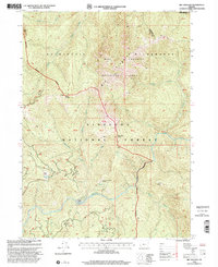
1998 Big Craggies
Curry County, OR
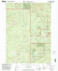
1998 Bosley Butte
Curry County, OR
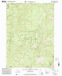
1998 Brandy Peak
Curry County, OR
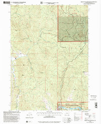
1998 Brushy Bald Mountain
Curry County, OR
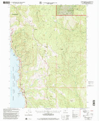
1998 Carpenterville
Curry County, OR
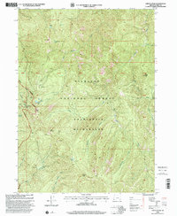
1998 Chetco Peak
Curry County, OR
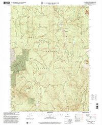
1998 Collier Butte
Curry County, OR
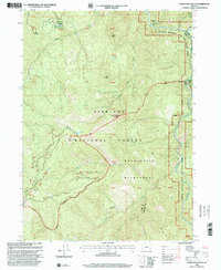
1998 Horse Sign Butte
Curry County, OR
1998 Kelsey Peak
Curry County, OR
1998 Marial
Curry County, OR
1998 Ophir Mountain
Curry County, OR
1998 Quail Prairie Mountain
Curry County, OR
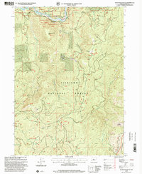
1998 Quosatana Butte
Curry County, OR
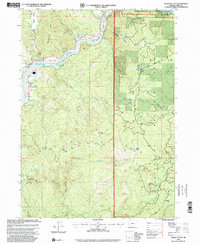
1998 Signal Buttes
Curry County, OR
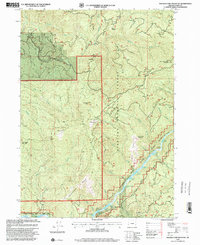
1998 Soldier Camp Mountain
Curry County, OR
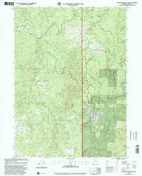
1998 Sundown Mountain
Curry County, OR
1998 Tincup Peak
Curry County, OR
