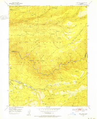
1950 Map of Devil Peak
USGS Topo · Published 1952About this map
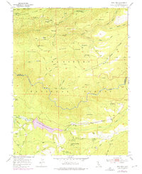
Eldorado National Forest defines this mid-century landscape where the Rubicon River carves a deep path between Placer and El Dorado counties. The map captures a quiet era of transition in the Sierra Nevada, where the extraction economy is visible through several inactive workings such as the Zuver Mine and Clydesdale Mine. Traces of earlier industrial infrastructure remain, most notably a Dismantled Railroad that snakes through the southern section near Lookout Mountain. Small residential and agricultural outposts like the Bacchi Ranch and Pilot Creek House provide evidence of isolated settlement amidst the ridges and canyons. The presence of numerous named water sources, including Ramsey Crossing Spring and Sawpit Spring, underscores the critical importance of water management in this high-altitude terrain before the further development of local reservoirs.
Find a feature on this map
66 named features on this map. Tap any name to fly to it.
Don’t see what you’re looking for? This feature index may not catch every label — zoom into the map to look around manually.
Map Details
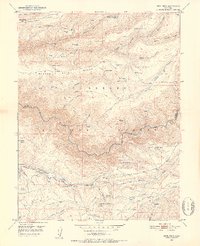
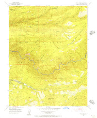
Editions of this 1950 Devil Peak Map
7 editions found
Other maps of this area

1889 · Pyramid Peak
USGS Topo · 1:125,000

1891 · Colfax
USGS Topo · 1:125,000

1891 · Truckee
USGS Topo · 1:125,000

1891 · Placerville
USGS Topo · 1:125,000

1891 · Pyramid Peak
USGS Topo · 1:125,000

1892 · Placerville
USGS Topo · 1:125,000

1892 · Colfax
USGS Topo · 1:125,000

1893 · Placerville
USGS Topo · 1:125,000

1893 · Truckee
USGS Topo · 1:125,000

1894 · Colfax
USGS Topo · 1:125,000