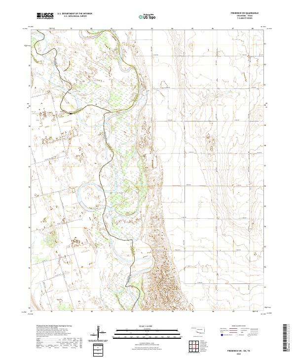
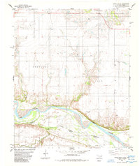
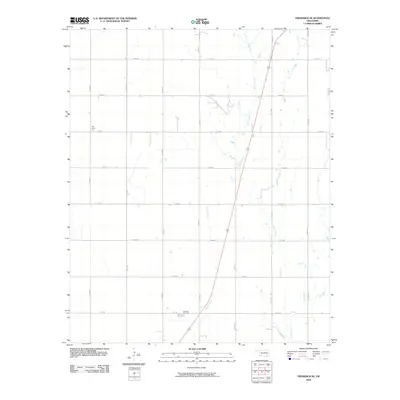
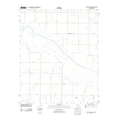
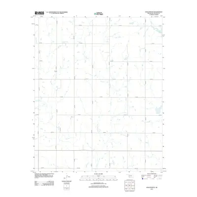
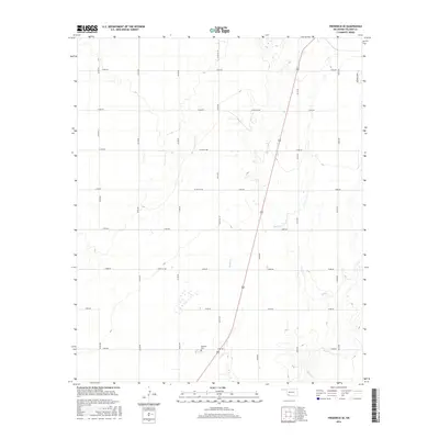
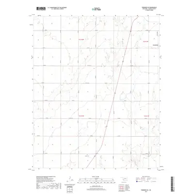
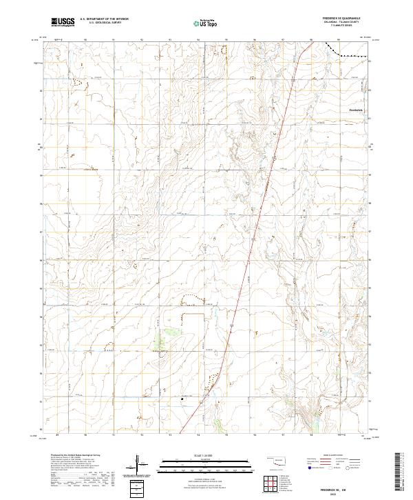
2022 Map of Frederick SW
USGS Topo · Published 2022About this map
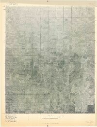
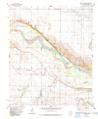
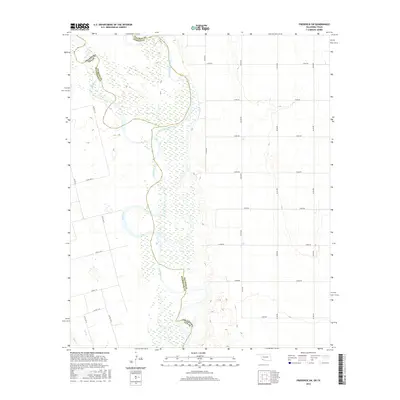
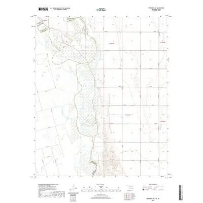
The Red River defines the border between Oklahoma and Texas on this southwestern Oklahoma sheet, where the North Fork Red River joins the main channel. This landscape is a vast network of shifting riverbeds and wetlands, carved by the braided path of the river as it winds through Tillman Co Wilbarger Co and Jackson Co Tillman Co. The terrain is characterized by broad alluvial flats and active river channels that have historically influenced the boundary lines between the two states.
Find a feature on this map
31 named features on this map. Tap any name to fly to it.
Don’t see what you’re looking for? This feature index may not catch every label — zoom into the map to look around manually.
Map Details
Editions of this 2022 Frederick SW Map
This is the sole edition of this map. No revisions or reprints were ever made.
Historical Maps of Jackson County Through Time
63 maps found
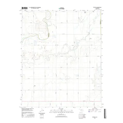
1964 Tipton SE
Tillman County, OK

1974 Hackberry Flat
Tillman County, OK
1974 Hollister NE
Tillman County, OK
1974 Hollister NW
Tillman County, OK
1975 Frederick NE
Tillman County, OK
1975 Frederick NW
Tillman County, OK
1975 Frederick SE
Tillman County, OK
1975 Frederick SW
Tillman County, OK
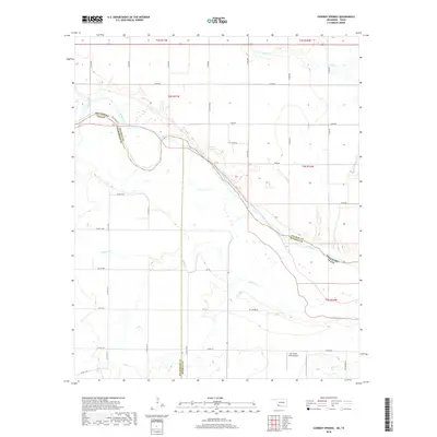
1984 Cowboy Springs
Tillman County, OK
1984 Frederick SE
Tillman County, OK
1984 Frederick SW
Tillman County, OK
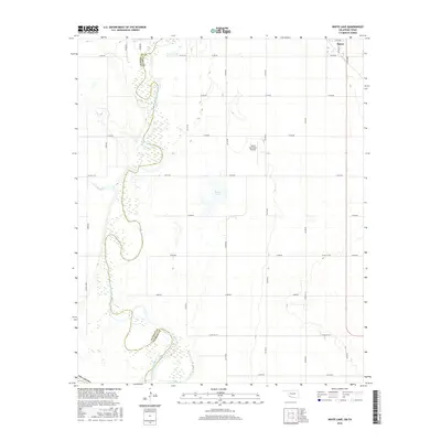
1984 White Lake
Tillman County, OK
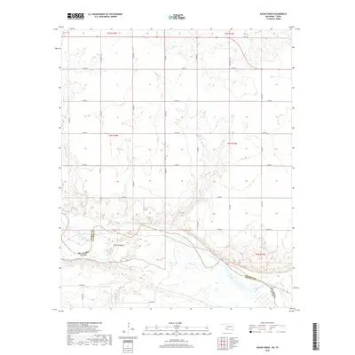
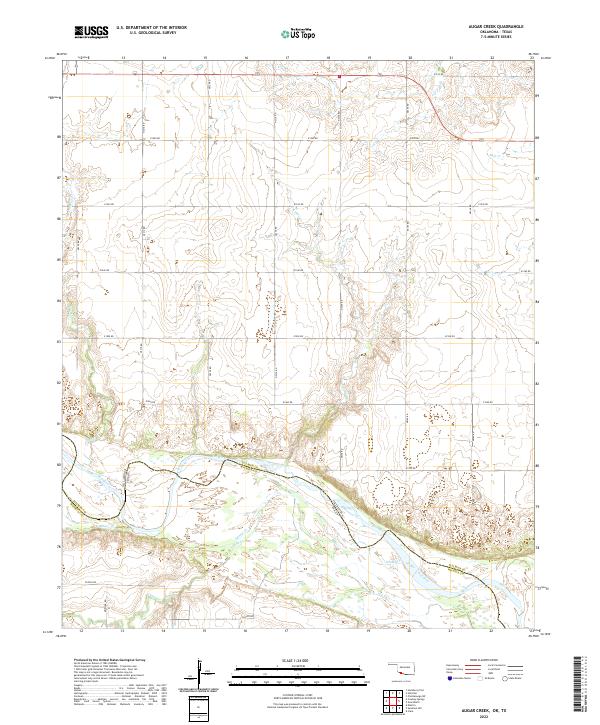
1985 Augur Creek
Tillman County, OK
1987 Chattanooga SW
Tillman County, OK
2009 Chattanooga SW
Tillman County, OK
2010 Cowboy Springs
Tillman County, OK
2010 Frederick SE
Tillman County, OK
2010 Frederick SW
Tillman County, OK
2010 Hackberry Flat
Tillman County, OK
2010 Hollister NE
Tillman County, OK
2010 Hollister NW
Tillman County, OK

2010 Tipton SE
Tillman County, OK
2010 White Lake
Tillman County, OK
2012 Augar Creek
Tillman County, OK
2012 Chattanooga SW
Tillman County, OK
2012 Cowboy Springs
Tillman County, OK
2012 Frederick SE
Tillman County, OK
2012 Frederick SW
Tillman County, OK
2012 Hackberry Flat
Tillman County, OK
2012 Hollister NE
Tillman County, OK
2012 Hollister NW
Tillman County, OK
2012 Tipton SE
Tillman County, OK
2012 White Lake
Tillman County, OK
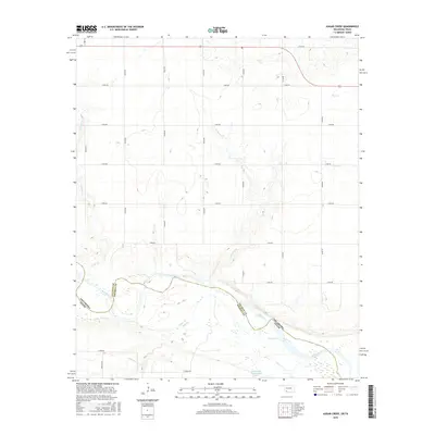
2016 Augar Creek
Tillman County, OK
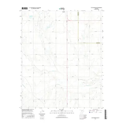
2016 Chattanooga SW
Tillman County, OK
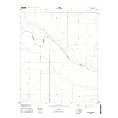
2016 Cowboy Springs
Tillman County, OK
2016 Frederick SE
Tillman County, OK
2016 Frederick SW
Tillman County, OK
2016 Hackberry Flat
Tillman County, OK
2016 Hollister NE
Tillman County, OK
2016 Hollister NW
Tillman County, OK
2016 Tipton SE
Tillman County, OK
2016 White Lake
Tillman County, OK
2018 Augar Creek
Tillman County, OK

2018 Chattanooga SW
Tillman County, OK
2018 Cowboy Springs
Tillman County, OK
2018 Frederick SE
Tillman County, OK
2018 Frederick SW
Tillman County, OK
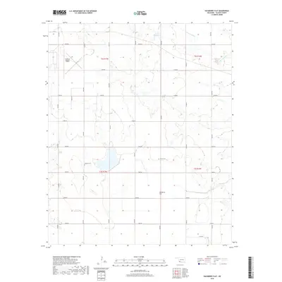
2018 Hackberry Flat
Tillman County, OK
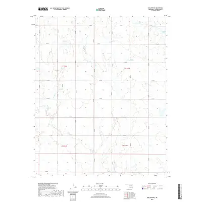
2018 Hollister NE
Tillman County, OK
2018 Hollister NW
Tillman County, OK
2018 Tipton SE
Tillman County, OK
2018 White Lake
Tillman County, OK
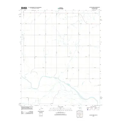
2022 Augar Creek
Tillman County, OK
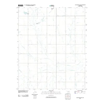
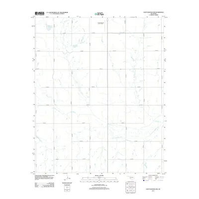
2022 Chattanooga SW
Tillman County, OK
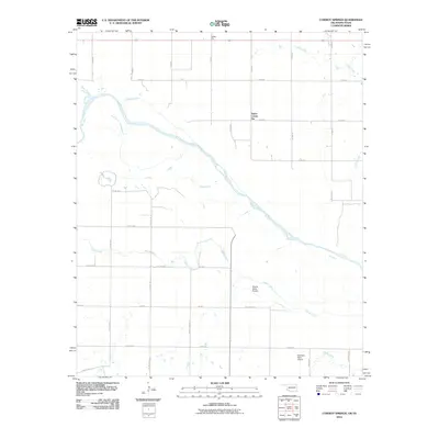
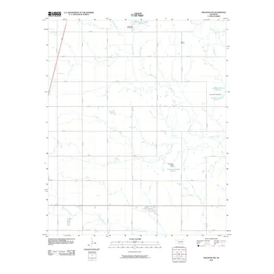
2022 Cowboy Springs
Tillman County, OK
2022 Frederick SE
Tillman County, OK
2022 Frederick SW
Tillman County, OK
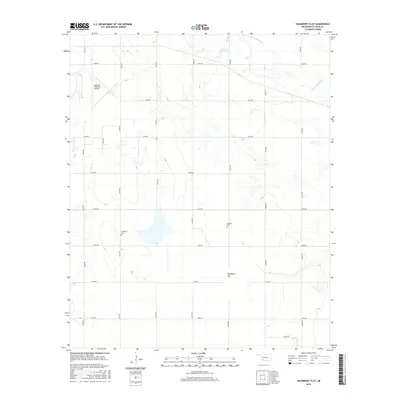
2022 Hackberry Flat
Tillman County, OK
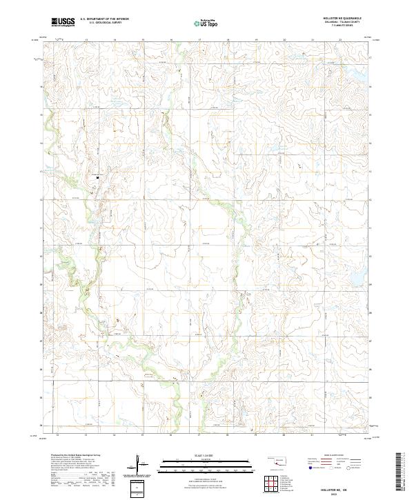
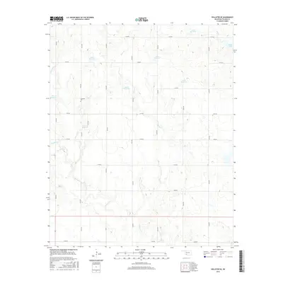
2022 Hollister NE
Tillman County, OK
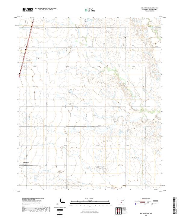
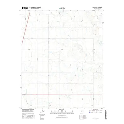
2022 Hollister NW
Tillman County, OK
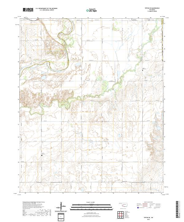
2022 Tipton SE
Tillman County, OK
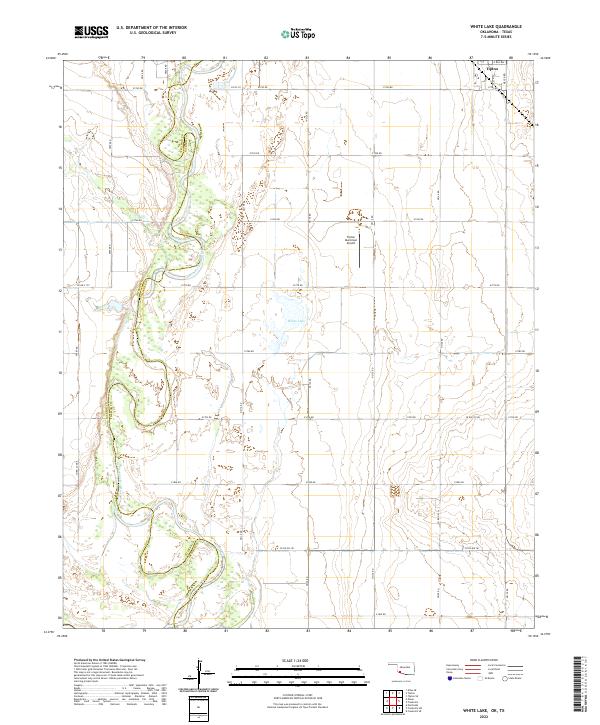
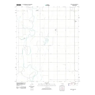
2022 White Lake
Tillman County, OK