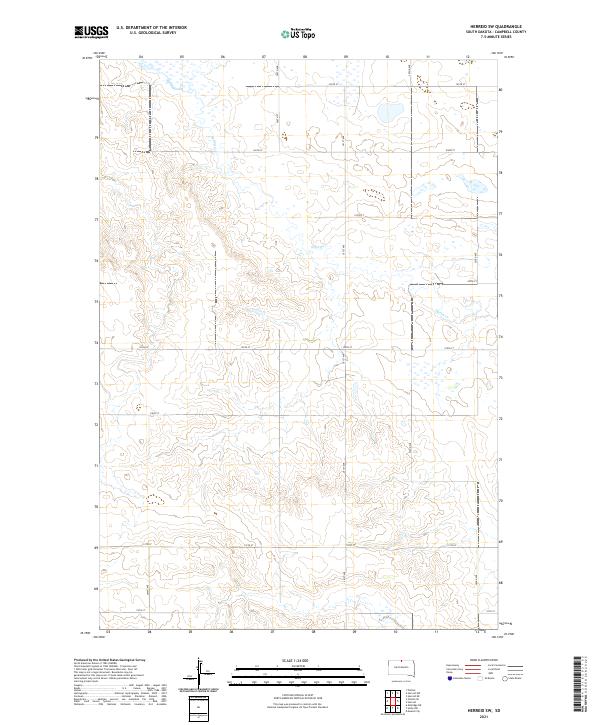
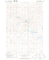
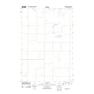
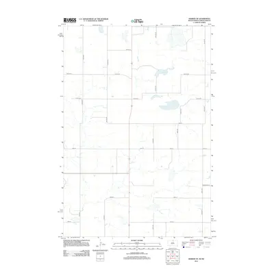
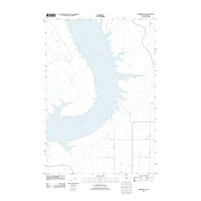
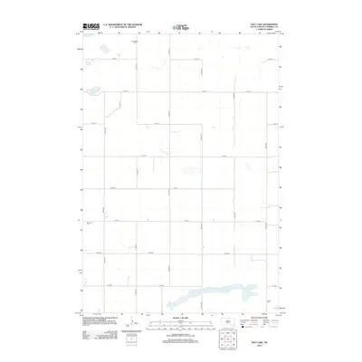
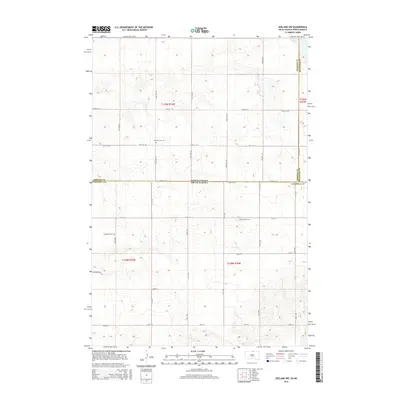
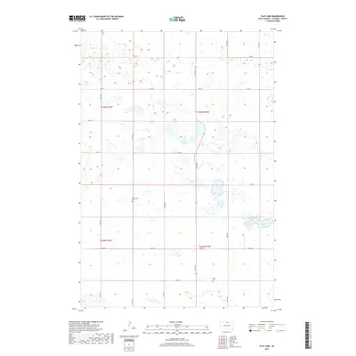
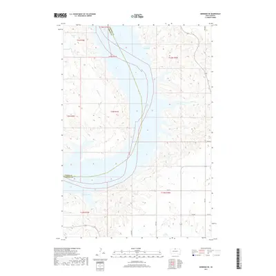
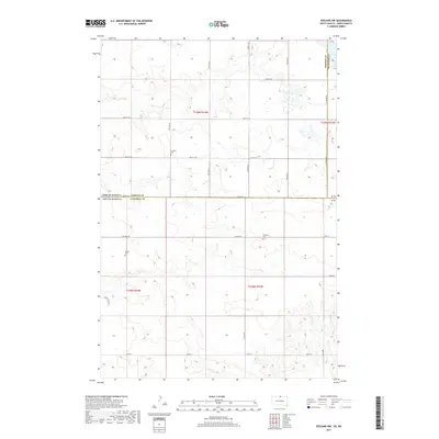
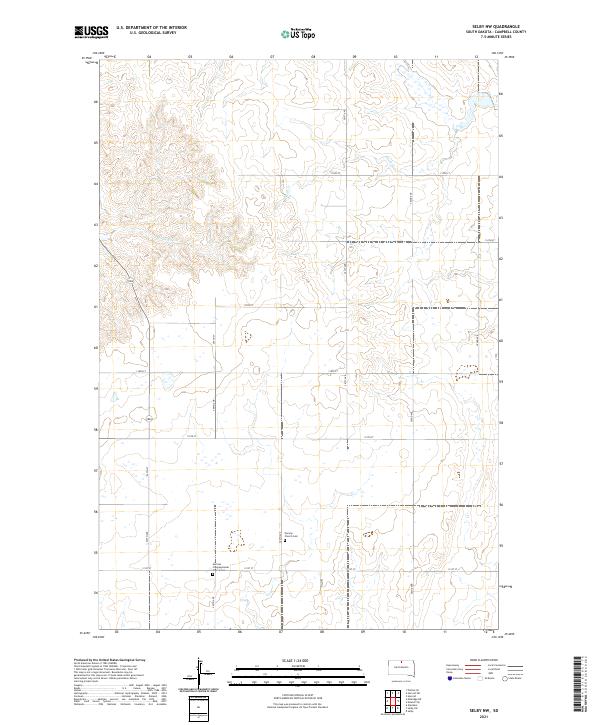
2021 Map of Herreid SW
USGS Topo · Published 2021About this map
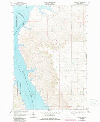
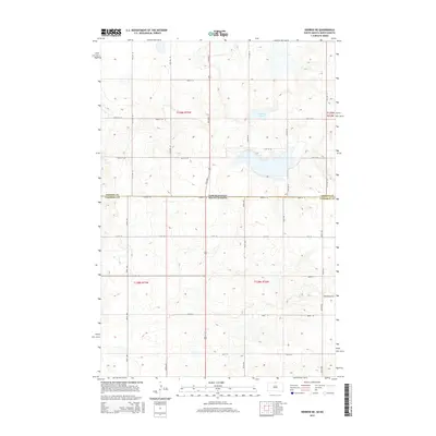
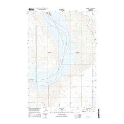
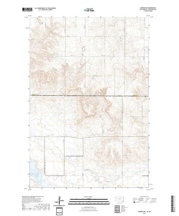
Spring Creek meanders through the central and northeastern sections of this Campbell County landscape, defining the local drainage patterns across a high prairie environment. The area is characterized by the rigid Public Land Survey System, with the terrain partitioned into townships such as t127n r77w and t128n r78w. The map reveals a sparse but highly organized network of section-line roads, where routes like 301st Ave and 105th St provide the primary access to large agricultural tracts.
Find a feature on this map
21 named features on this map. Tap any name to fly to it.
Don’t see what you’re looking for? This feature index may not catch every label — zoom into the map to look around manually.
Map Details
Editions of this 2021 Herreid SW Map
This is the sole edition of this map. No revisions or reprints were ever made.
Historical Maps of Campbell County Through Time
64 maps found
1965 Herreid NE
Campbell County, SD
1965 Herreid NW
Campbell County, SD
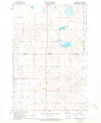
1965 Herreid SW
Campbell County, SD
1965 Pollock SE
Campbell County, SD
1966 Pollock NW
Campbell County, SD
1967 Mobridge NE
Campbell County, SD
1967 Selby NW
Campbell County, SD
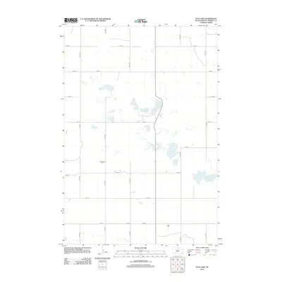
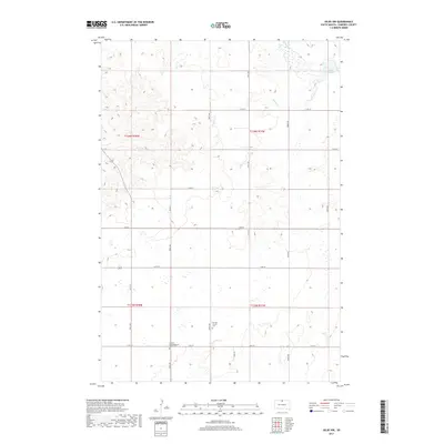
1978 Flat Lake
Campbell County, SD

1978 Mutske Lake
Campbell County, SD
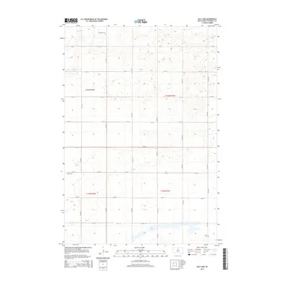
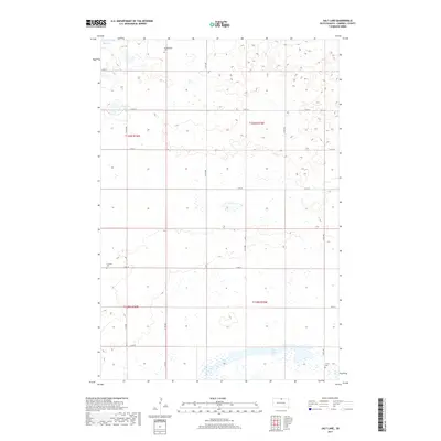
1978 Salt Lake
Campbell County, SD
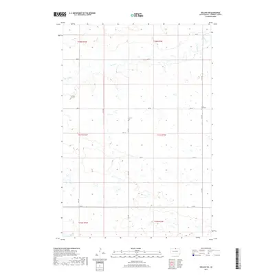
1978 Zeeland NW
Campbell County, SD
1978 Zeeland SW
Campbell County, SD
2011 Herreid NE
Campbell County, SD
2011 Herreid NW
Campbell County, SD
2011 Pollock NW
Campbell County, SD
2011 Zeeland NW
Campbell County, SD
2012 Flat Lake
Campbell County, SD
2012 Herreid NE
Campbell County, SD
2012 Herreid NW
Campbell County, SD
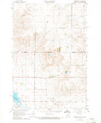
2012 Herreid SW
Campbell County, SD
2012 Mobridge NE
Campbell County, SD
2012 Mutske Lake
Campbell County, SD
2012 Pollock NW
Campbell County, SD
2012 Pollock SE
Campbell County, SD
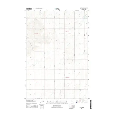
2012 Salt Lake
Campbell County, SD
2012 Selby NW
Campbell County, SD
2012 Zeeland NW
Campbell County, SD
2012 Zeeland SW
Campbell County, SD
2015 Flat Lake
Campbell County, SD
2015 Herreid NE
Campbell County, SD
2015 Herreid NW
Campbell County, SD
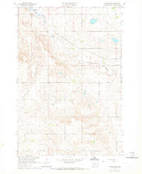
2015 Herreid SW
Campbell County, SD
2015 Mobridge NE
Campbell County, SD
2015 Mutske Lake
Campbell County, SD
2015 Pollock NW
Campbell County, SD
2015 Pollock SE
Campbell County, SD
2015 Salt Lake
Campbell County, SD
2015 Selby NW
Campbell County, SD
2015 Zeeland NW
Campbell County, SD
2015 Zeeland SW
Campbell County, SD
2017 Flat Lake
Campbell County, SD
2017 Herreid NE
Campbell County, SD
2017 Herreid NW
Campbell County, SD
2017 Herreid SW
Campbell County, SD
2017 Mobridge NE
Campbell County, SD
2017 Mutske Lake
Campbell County, SD
2017 Pollock NW
Campbell County, SD
2017 Pollock SE
Campbell County, SD
2017 Salt Lake
Campbell County, SD
2017 Selby NW
Campbell County, SD
2017 Zeeland NW
Campbell County, SD
2017 Zeeland SW
Campbell County, SD
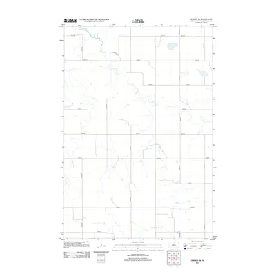
2021 Flat Lake
Campbell County, SD
2021 Herreid NE
Campbell County, SD
2021 Herreid NW
Campbell County, SD
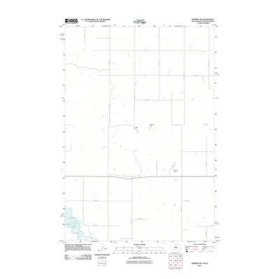
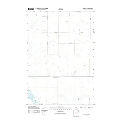
2021 Herreid SW
Campbell County, SD
2021 Mobridge NE
Campbell County, SD
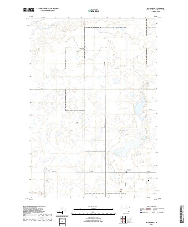
2021 Mutske Lake
Campbell County, SD
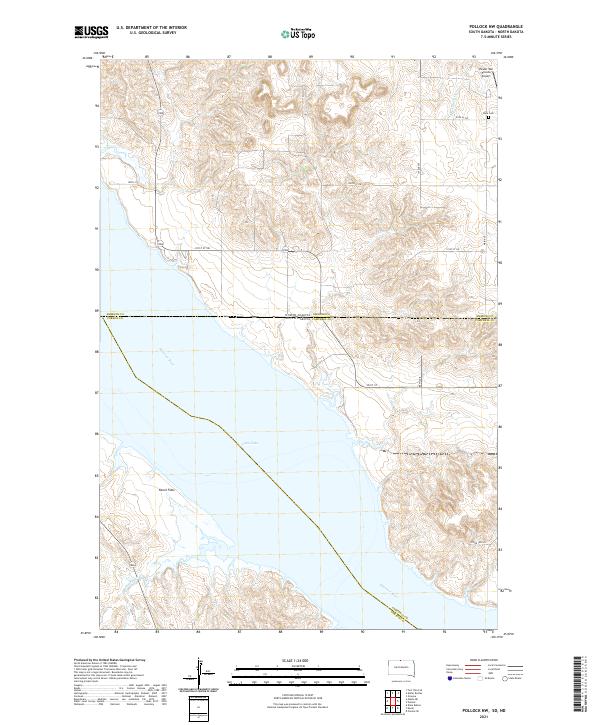
2021 Pollock NW
Campbell County, SD
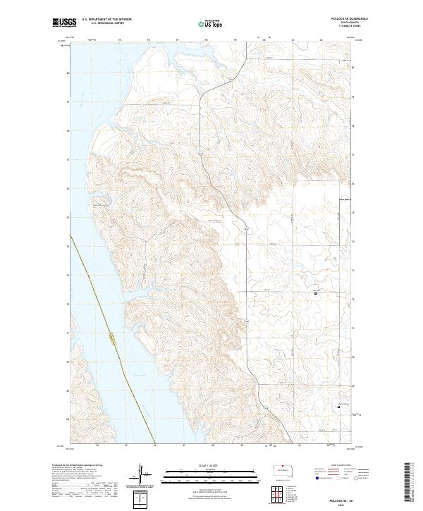
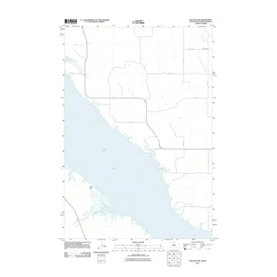
2021 Pollock SE
Campbell County, SD
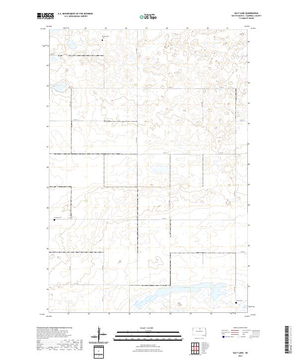
2021 Salt Lake
Campbell County, SD
2021 Selby NW
Campbell County, SD
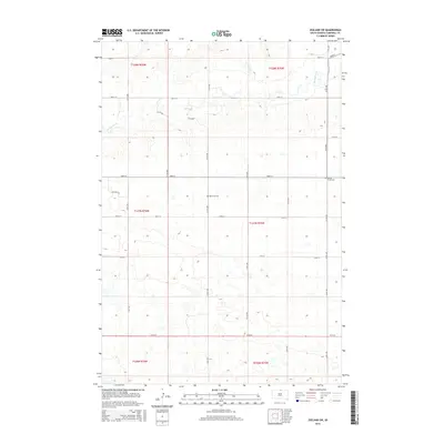
2021 Zeeland NW
Campbell County, SD
2021 Zeeland SW
Campbell County, SD